2 min
Overview
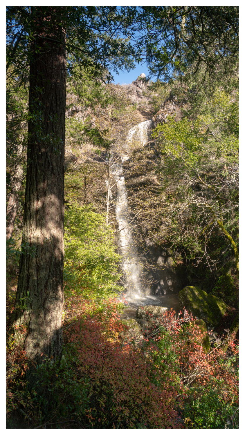
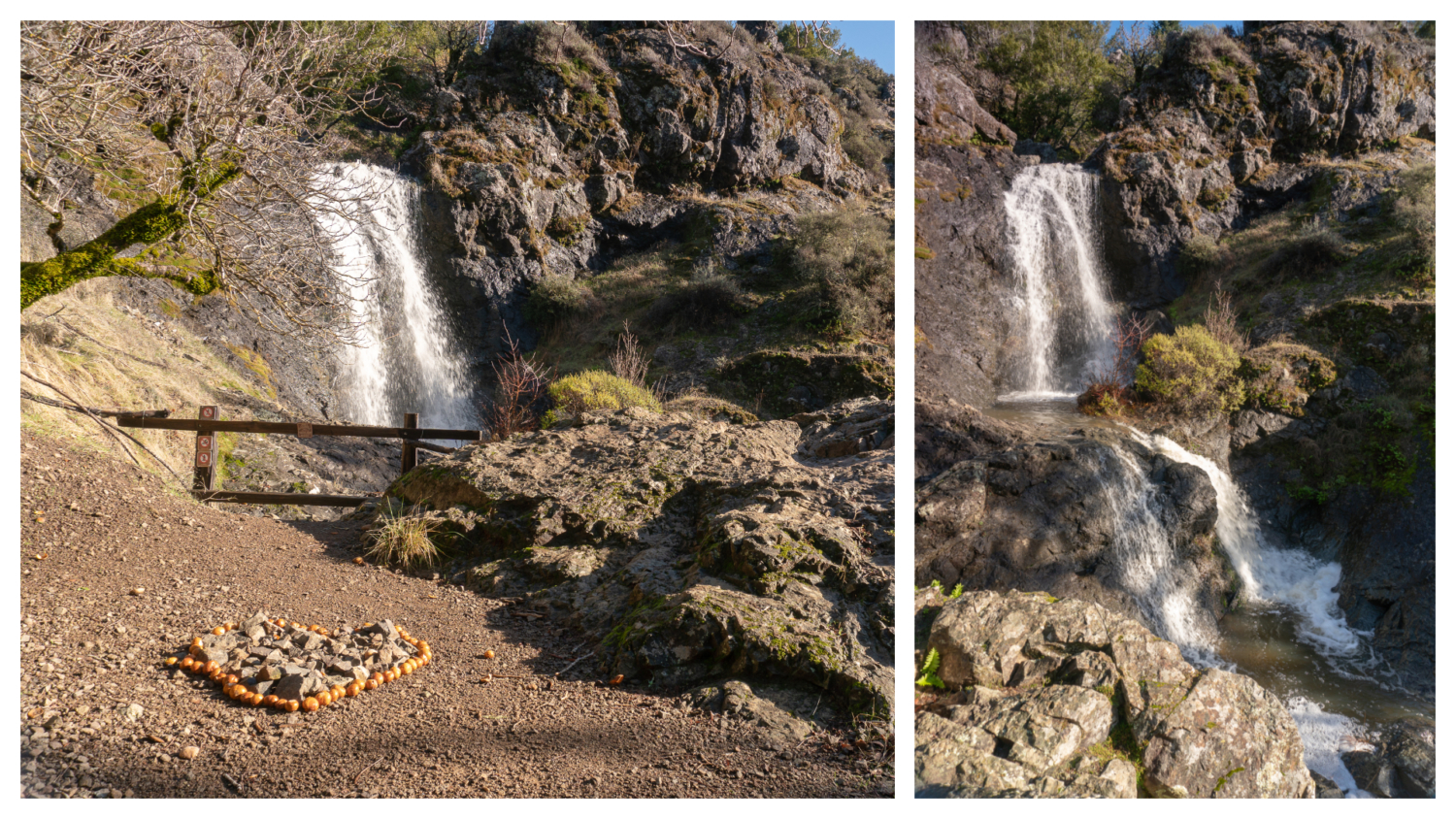
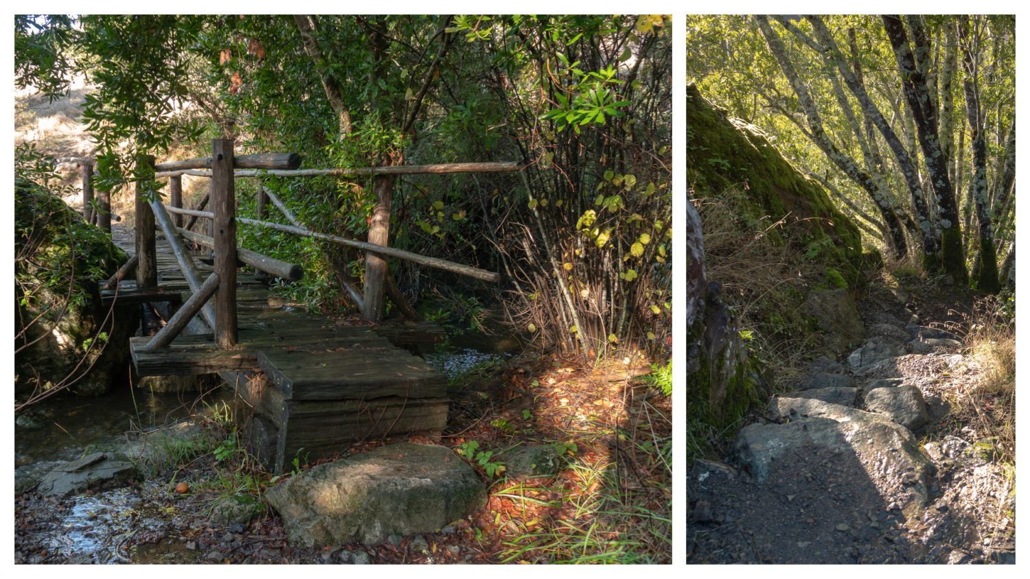
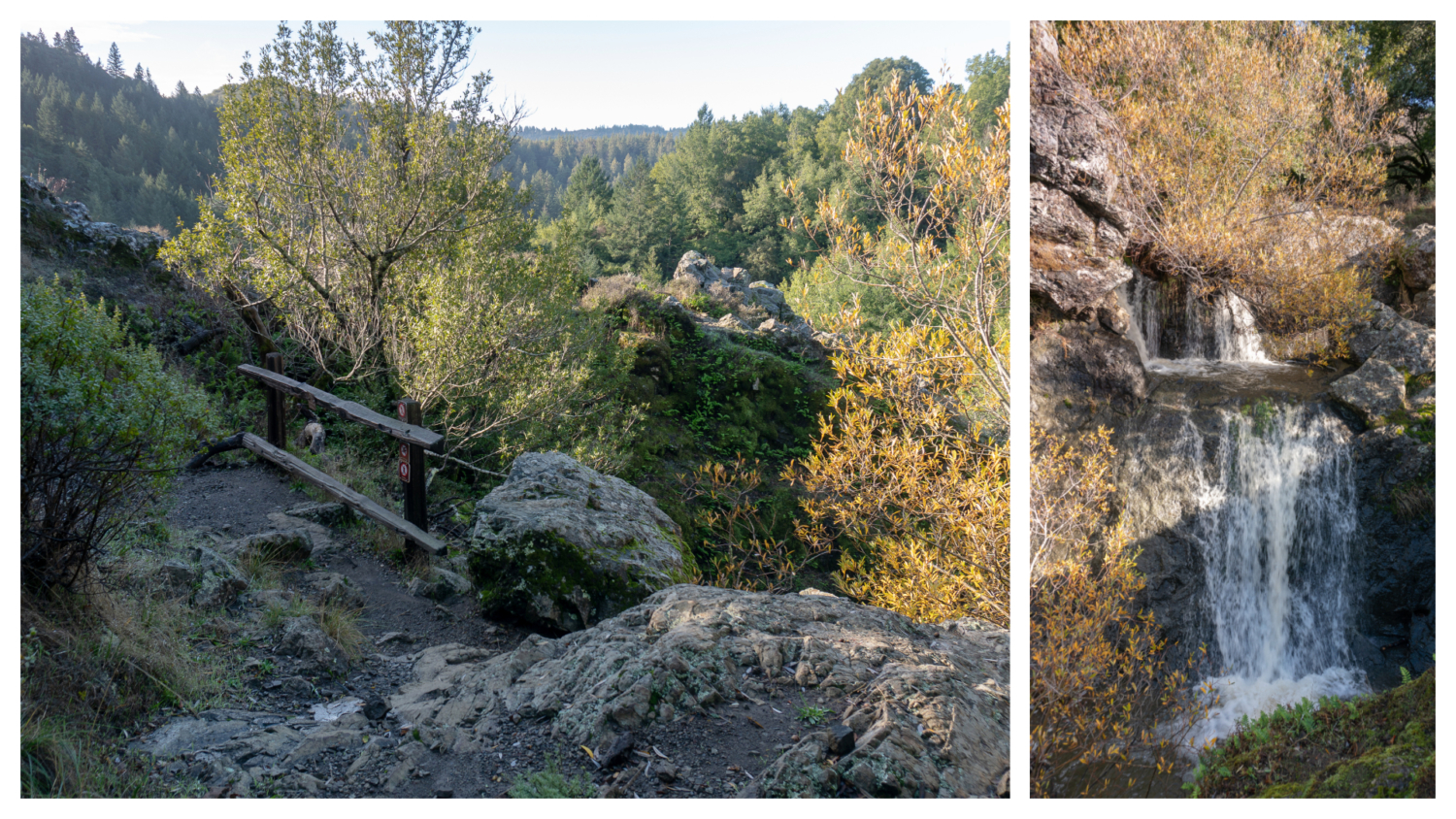
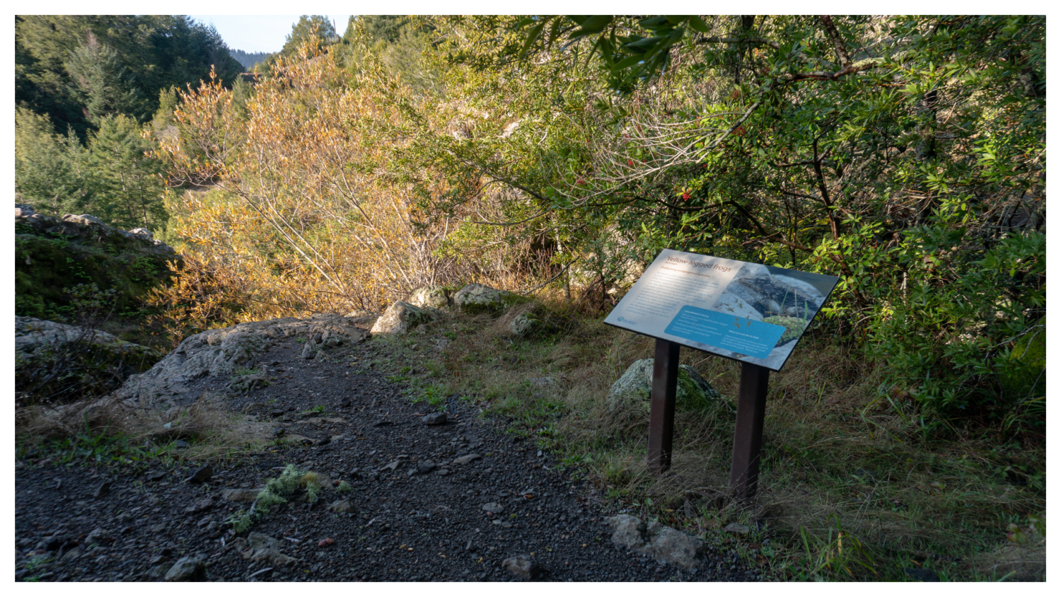
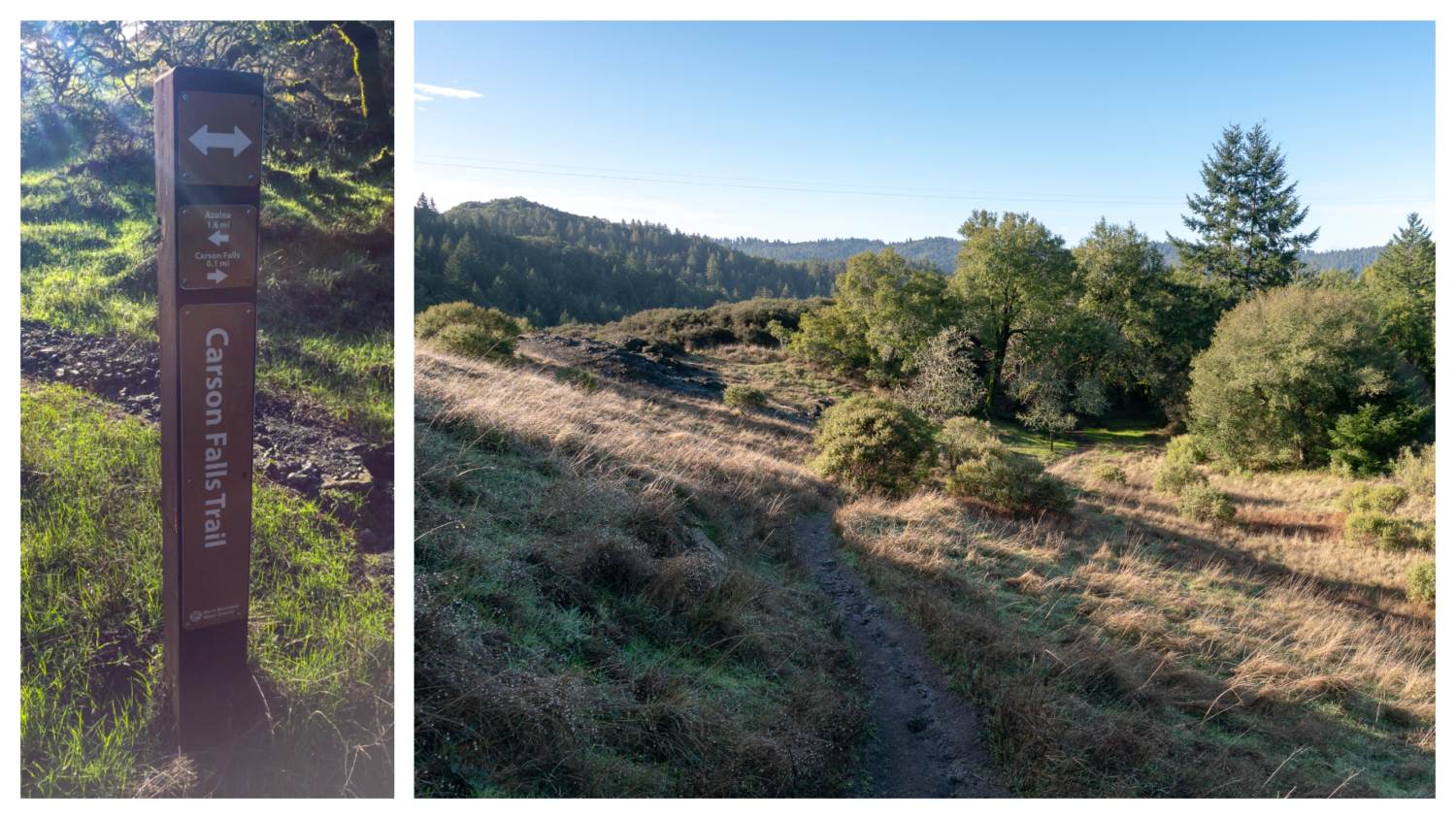
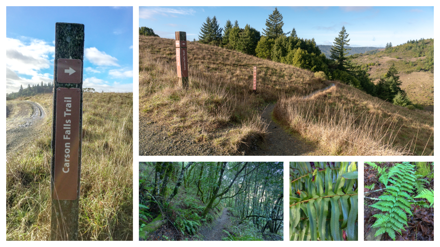
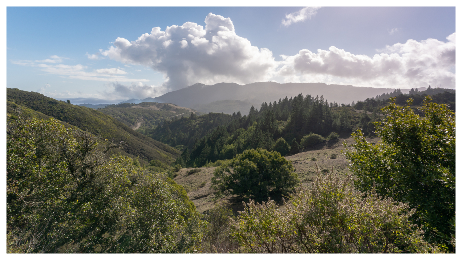
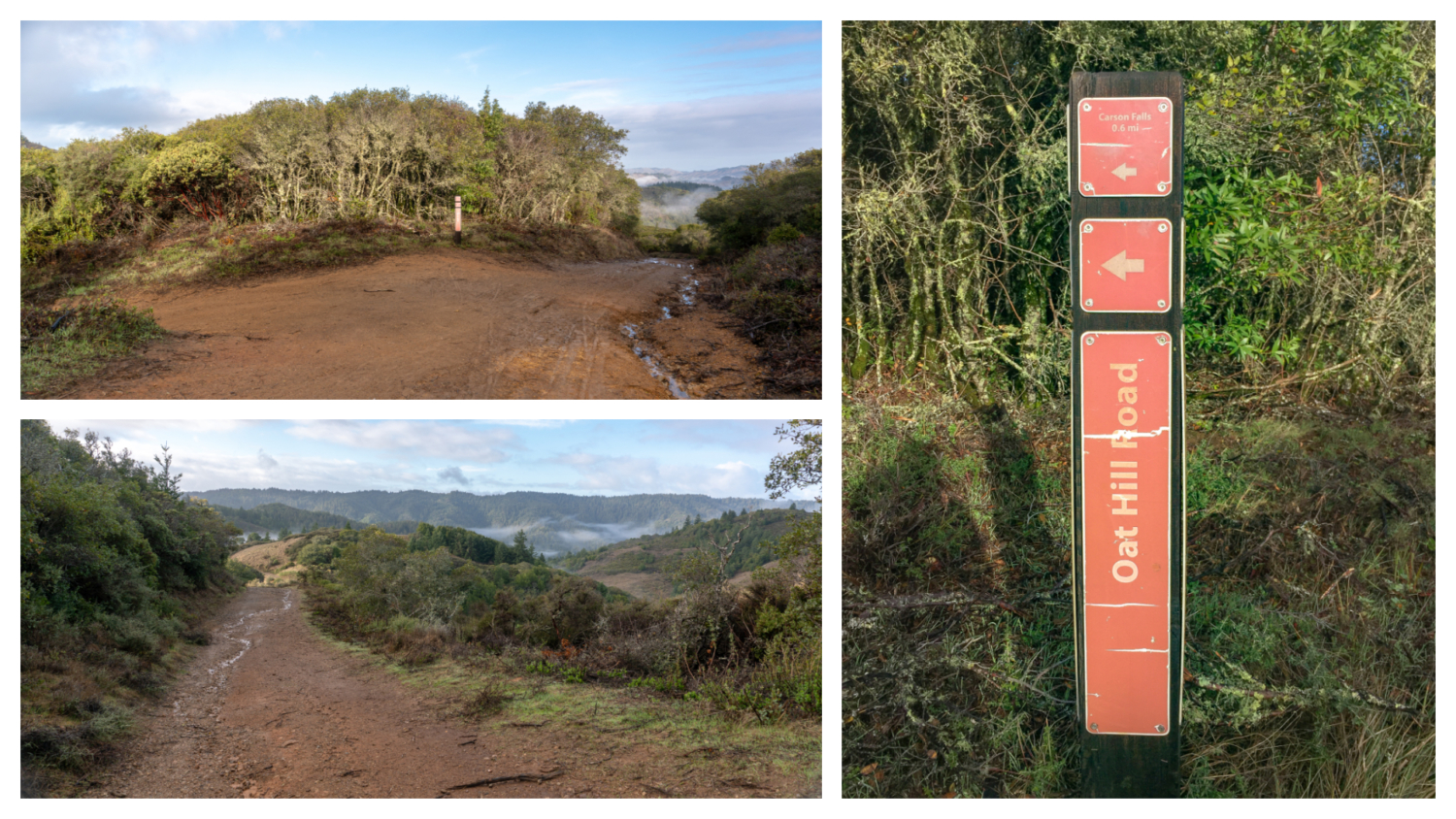
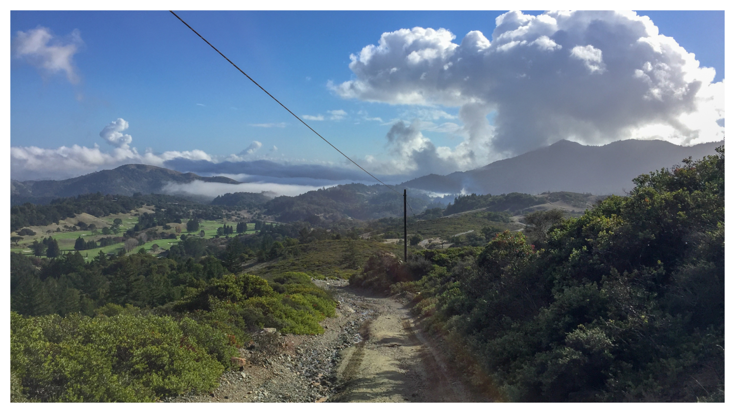
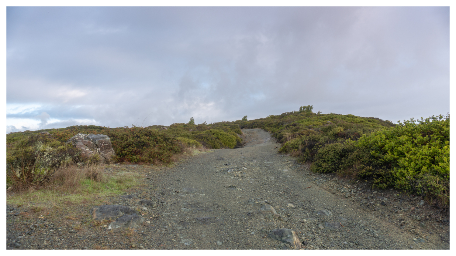
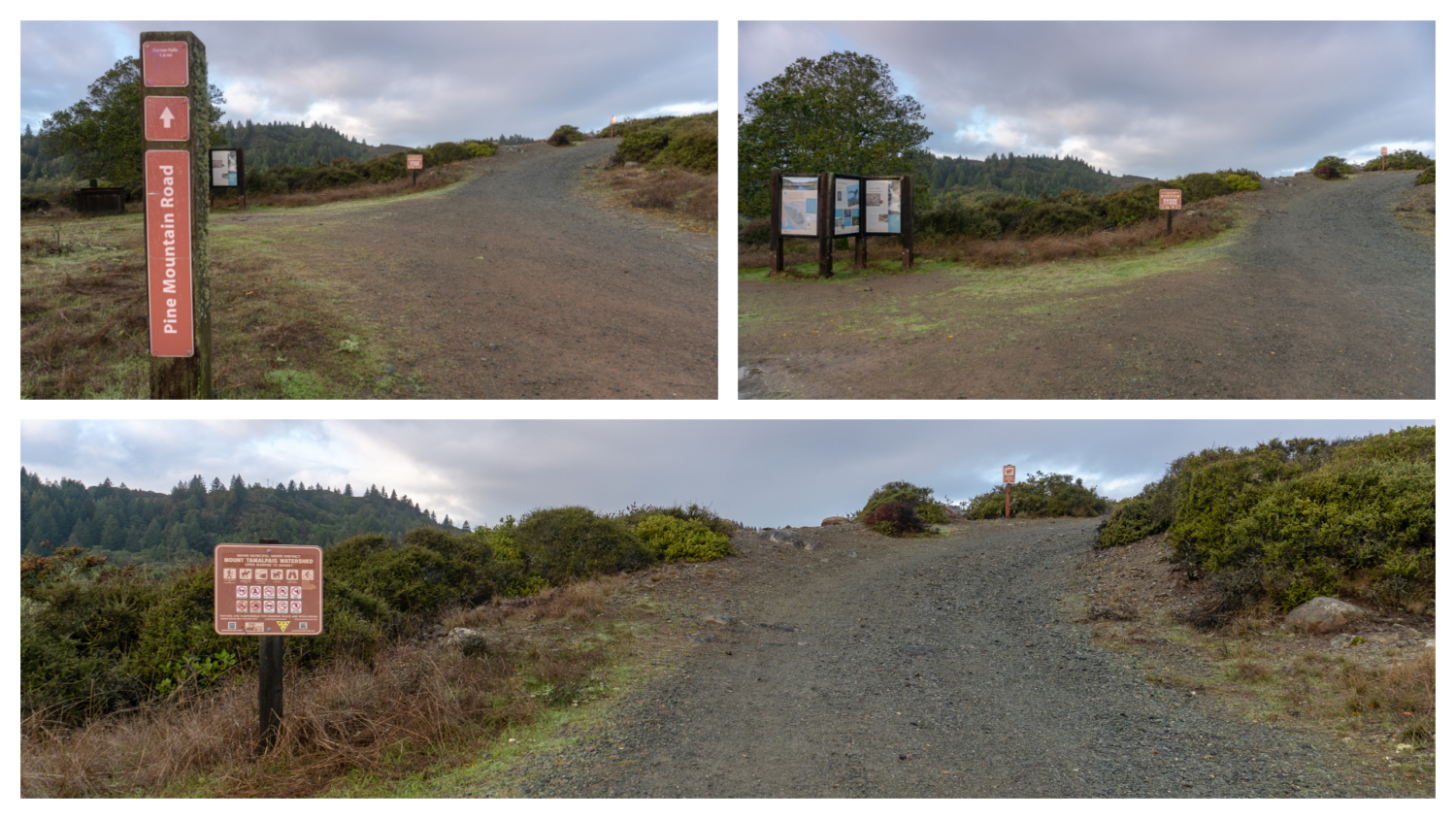
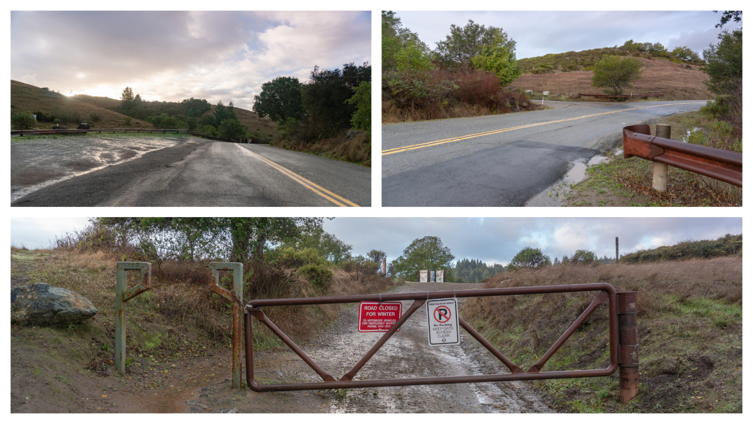
Carson Falls is a multi-tier waterfall that flows through Little Carson Creek in the Mount Tamalpais Watershed. Just four miles southwest of Fairfax, it is easy to get to and well signed—a satisfying waterfall hike with forest green views of Marin and Mount Tam that you can knock out in a few hours. Start your hike from the Azalea Hill parking lot, carefully crossing Bolinas-Fairfax Road to Pine Mountain Road. Interpretive panels on your left share information about the Mount Tamalpais Watershed, habitats and wildlife of Pine Mountain, and the Foothill Yellow-legged Frog, which breeds at Carson Falls and is a Species of Special Concern. Past the information panel, hike northwest for 1.1 miles on the rocky fire road, gaining 400 feet beside thick, woody chaparral. A surprising vista of ridgelines dips and rolls into valleys and up to Mount Tam. The Mount Tamalpais Watershed, a source of drinking water for Marin residents, has 138 miles of hiking trails. Many are shared among runners, equestrians, and mountain bikers, who you may see whooshing down the mountain. In March 2018, the Marin Municipal Water District launched the “Slow and Say Hello” campaign, a good reminder to all of us to be aware and respectful of folks enjoying the trails in all kinds of ways. Hike past dense mats of manzanita with birds flitting among the brush. The occasional bay, oak, and Douglas fir tree crops up here and there, but you are for the most part out in the open. Take a moment to peak behind you to see Mount Tam’s East Peak, Middle Peak, and West Peak rising to the southeast. If you look carefully, you can also see a tiny sliver of Alpine Lake to the south, one of seven reservoirs in the Marin Municipal Water District. At the 1.1 mile-mark, turn left onto Oat Hill Road towards Carson Falls. Descend southwest on the fire road for 0.3 miles past grasslands, oak, and madrone. Pine Mountain, at 1,762 feet, is to the northwest, and if you squint, you can see the Pine Mountain Fire Road curving across a saddle up towards the summit. Fur
Trail Stats
6.1 km
278 m
466 m
313 m
—
Photos
Trail photo
No caption provided.
Trail photo
No caption provided.
Trail photo
No caption provided.
Trail photo
No caption provided.
Trail photo
No caption provided.
Trail photo
No caption provided.
Trail photo
No caption provided.
Trail photo
No caption provided.
Trail photo
No caption provided.
Trail photo
No caption provided.
Trail photo
No caption provided.
Trail photo
No caption provided.
Trail photo
No caption provided.