2 min
Overview
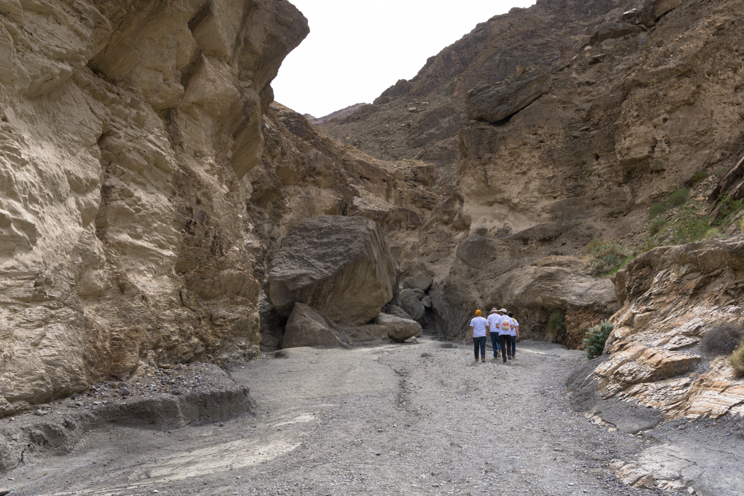
Just outside the Stovepipe Wells Village and at the western entrance to Death Valley itself, Mosaic Canyon offers up a solid introduction to navigating the region’s slot canyons. It’s a must-stop for adventurous hikers and those interested in geology, especially, but even the lower section of the canyon should be doable for the average hiker (and even hiking youngsters, assuming they’re OK with the heat and sun here). The trailhead begins at the end of Mosaic Canyon Road, a 2.3 mile dirt road that begins just across the street from Stovepipe Wells Campground. The road is usually passable for most passenger cars, but you may want to check with the rangers if there’s been rain recently. Drive slowly and park at the trailhead, which can often get crowded late into the morning, as this is a fairly accessible trail that happens to be located near one of the few developed areas in the park. Even if the trailhead looks full, though, don’t be discouraged — many explorers will turn back at the first major obstacle in the canyon, and the region’s twists and turns often give you a greater sense of solitude than you actually have. Although there are some nice, shady sections of the trail here, remember that you are in the desert and will still spend lots of time in the hot, dry sun. Even though it’s a relatively short hike, pack lots of water, sunscreen, salty snacks, and make sure you have a shady hat and sunglasses before you proceed. Head south from the parking area into the wide wash of Mosaic Canyon. You may note some trails leaving the main wash and climbing up side canyons or ridges throughout the hike — in general, it’s best to ignore them. There is only one section where you should leave the main wash of Mosaic Canyon to continue the hike. Every other option just adds unnecessary elevation gain and worse, might send you far off the actual hike. Just before the 0.3 mile mark, the canyon narrows significantly, unveiling some of the fascinating geology that has made this hike such a draw. You’ll notice the ground yo
Trail Stats
5.9 km
291 m
564 m
281 m
—
Photos

Trail photo
No caption provided.

Trail photo
No caption provided.

Trail photo
No caption provided.

Trail photo
No caption provided.
Trail photo
No caption provided.

Trail photo
No caption provided.

Trail photo
No caption provided.

Trail photo
No caption provided.

Trail photo
No caption provided.

Trail photo
No caption provided.