2 min
Overview
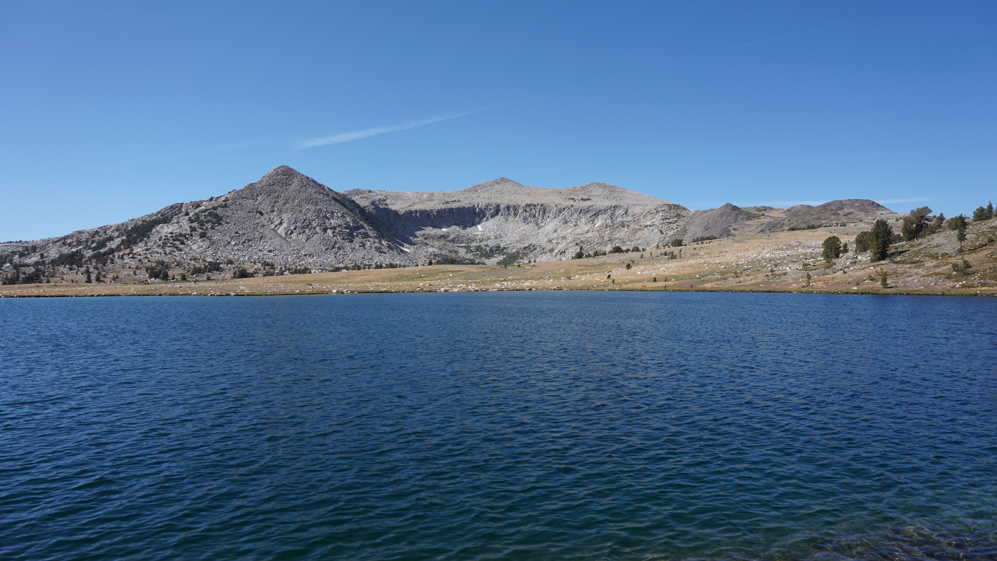
Thanks to geography and the impulse to preserve the Sierra high country as a foot-traffic only region, getting to alpine lake basins is usually a lot of work. With most hikes, you have at least 5-6 miles with a considerable amount of climbing. The majority of these lakes – especially the really beautiful ones – are best reached on overnight camping trips that add a laundry list of extra precautions and preparations that put alpine lakes somewhat out of reach for the average hiker. Unless, of course, you are in Yosemite. It is no secret why Yosemite Valley is one of the most popular national parks and iconic open spaces in the country. However, the Yosemite high country is also popular and highly visited thanks the the presence of Tioga Road, which opens day-hiking access to a number of stunning lake basins, such as the Cathedral Lakes, Dog Lake, Elizabeth Lake, and a host of others. Among those lakes, one of the more memorable and primordial lake basins contains the Gaylor and Granite Lakes. This lake basin abuts the Sierra Crest just west of Tioga Pass where one of the few roads crossing the Sierra Nevada allows visitors easy access to the high country. Although the distance on this hike is fairly manageable, I have given it a challenging rating for the following factors: first, the trail starts just below 10,000′, and if you have not acclimated, the hike will be a lot more challenging than you expect. Second, you must climb a steep ridge in order to reach the basin, which when combined with the altitude is an unexpectedly challenging undertaking. Finally, you gain a significant amount of elevation in the middle of the hike and when you climb back out of the basin, meaning that there are few places where you can enjoy some easy walking. If you are fit and well-acclimated, you will probably find this hike to be closer to a moderate rating. The Upper Gaylor Lakes The trail up to the upper Gaylor Lakes strikes out from the parking area by heading north up a heavily wooded and very steep slope – note that there
Trail Stats
6.3 km
380 m
3290 m
3034 m
—
Photos

Trail photo
No caption provided.

Trail photo
No caption provided.

Trail photo
No caption provided.
Trail photo
No caption provided.