4 min
Overview
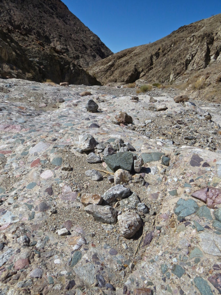
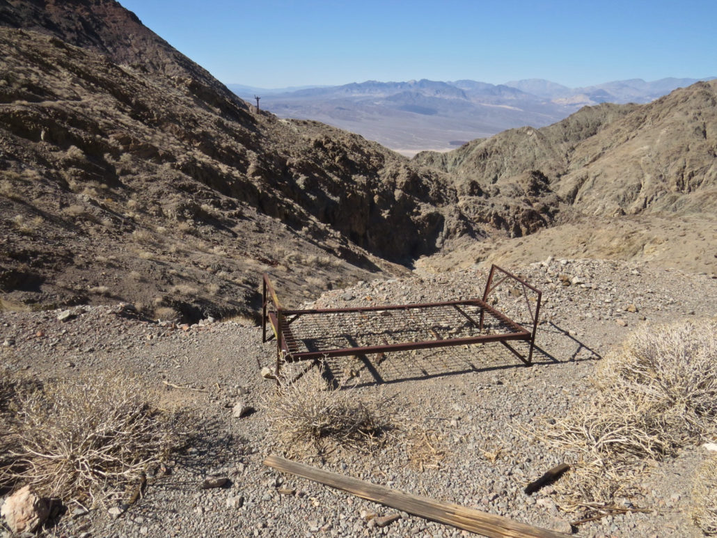
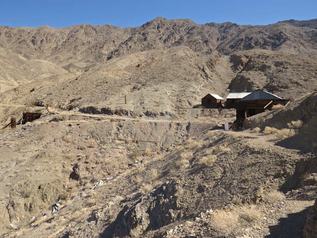
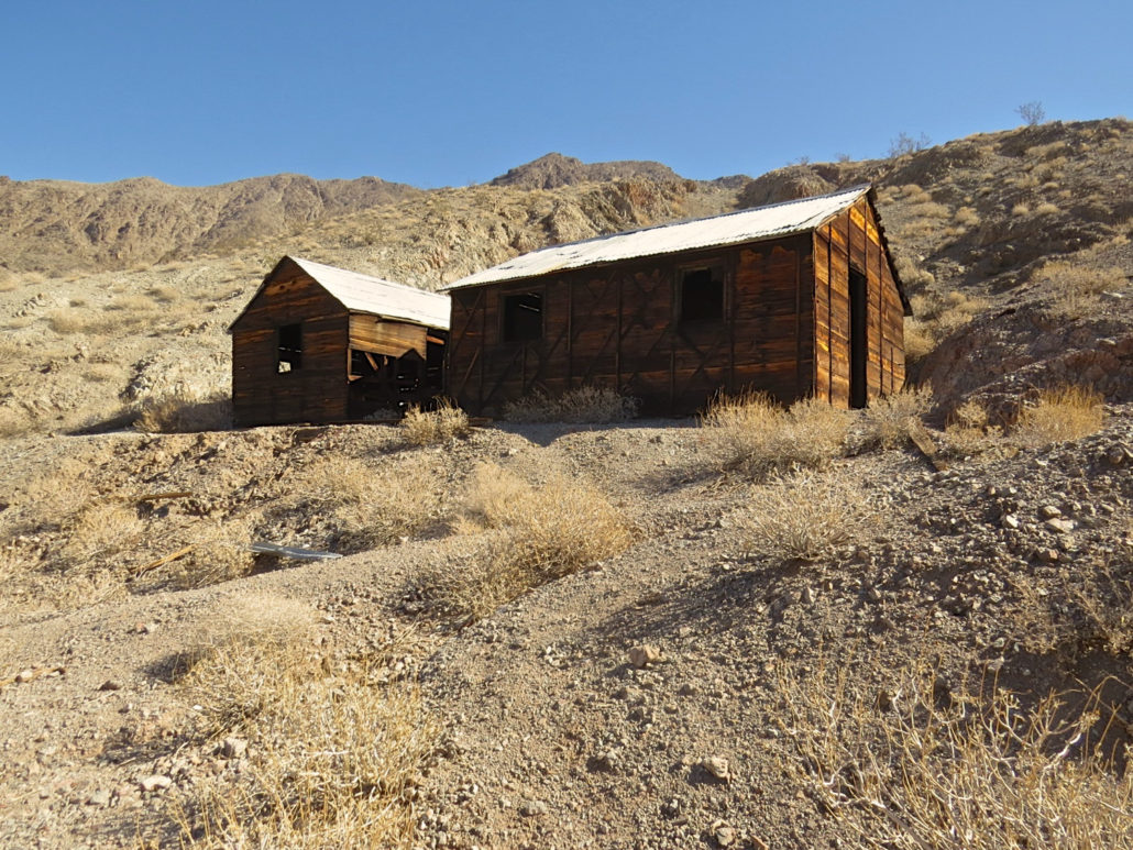
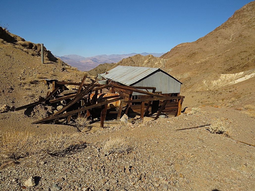
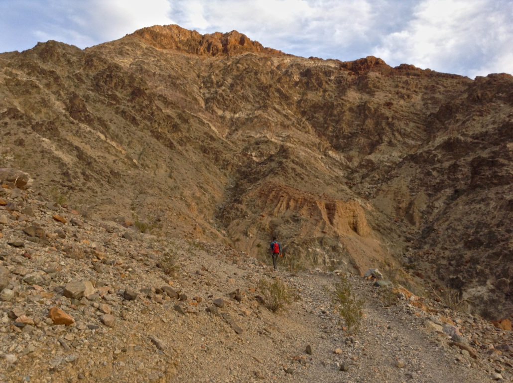
For every colorful story of lucky prospectors and rich strikes in Death Valley mining history, there are ten quiet stories of lost fortunes and gutted hills. The Ashford Mine got its start in 1907 when Harold Ashford prospected in the area. Most of the land was already claimed by the Key Gold Mining Company, but they hadn’t done the annual assessment work necessary to keep the company claims. Harold heard wind of this and began working the claims with his brothers. He was eventually taken to court but won title to the land in 1910. He and his brothers worked the Ashford Mine with no big strikes but enough promise that they were able to lease the mine in 1914 to an investor from Los Angeles, Benjamin McCausland and his son Ross. The McCauslands built a road and a mill, and employed as many as 28 men, but they still weren’t able to break even. They turned the land and equipment back over to the Ashfords. The Ashfords held onto the property and worked and leased it intermittently, but it mostly sat idle. The mine never broke even and was eventually inactive for good in the 1950s. Despite the inauspicious history, the ruins are picturesque and well-preserved, a gold mining camp hidden high in the Black Mountains of Death Valley. To reach them requires a steep, scenic hike through Ashford Canyon, a colorful canyon of jumbled rocks. Walking the canyon, it’s easy to see how much effort it took to develop this place, far from civilization and infrastructure. The first time I tried to hike Ashford Canyon, I gave up before I got to the Ashford Mine camp. The old road has been mostly washed out, and the steady elevation gain against the high canyon walls can make it hard to gauge how far you’ve gone. I was fooled by the two mile distance and started out too late, too close to sunset. I turned around before reaching the camp wondering if I had passed it or missed something. When I asked around a few months later a local told me, “You kinda have to just know where you’re going.” The second time I camped at the trailhead,
Trail Stats
8.7 km
354 m
701 m
331 m
—
Photos
Trail photo
No caption provided.
Trail photo
No caption provided.
Trail photo
No caption provided.
Trail photo
No caption provided.
Trail photo
No caption provided.
Trail photo
No caption provided.
Trail photo
No caption provided.