4 min
Overview
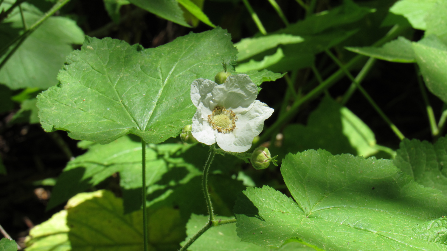
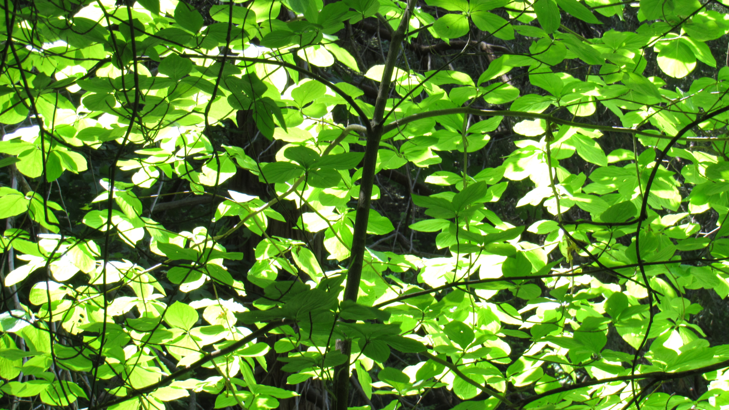
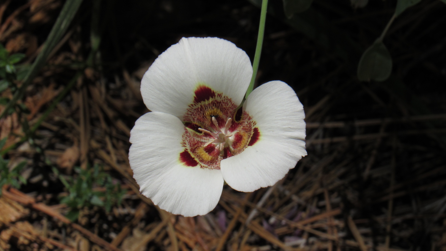
Before there was a Sequoia National Park (or a National Park system, for that matter), numerous Bay Area lumbermen set their sights on the sequoias of the western Sierra Nevada. During the latter half of the 19th century, loggers commenced wholesale logging operations in the relatively accessible upper reaches of the Kings River watershed. Further south in the Kaweah River watershed in the area that would one day be known as Giant Forest, the inhospitable terrain precluded the sort of logging that decimated Big Stump Basin, Converse Basin, and Cherry Gap. Mariposa lily Following John Muir and Hale Tharp’s glowing descriptions of the massive trees of Giant Forest, lumbermen began to set their sights on Giant Forest with increasing interest. The problem of access remained a significant barrier, as the forest sits upon a plateau bounded by the deep, rugged creases of the Middle and Marble Forks of the Kaweah River to the north, west, and south along with the alpine Tablelands to the east. Dogwood Enter the lefties. An enterprising group of socialists known as the Kaweah Cooperative Colony set up shop in 1886 along the North Fork Kaweah River at the site of the present hamlet of Kaweah just north of Three Rivers. Their intention was to establish a socialist commune whose utopian dreams would be funded by sequoia timber. In order to reach this timber, they first had to build a road, which would stretch from the North Fork all the way up to Giant Forest by way of the Ash Peaks Ridge and the Marble Fork watershed. Colony Mill Road From 1886 to 1890, the colony worked on their road and finally completed the stretch that reaches today’s Crystal Cave Road. Just as they were setting up their mill, President Benjamin Harrison established Sequoia National Park following a furious battle between conservationists and agricultural interests versus the timber industry. In a flash, the Federal Government dashed the socialist dream and replaced it with the newly founded Sequoia National Park. Piggy-backing off of the efforts of t
Trail Stats
9.4 km
548 m
1748 m
1496 m
—
Photos
Trail photo
No caption provided.
Trail photo
No caption provided.
Trail photo
No caption provided.
Trail photo
No caption provided.
Trail photo
No caption provided.
Trail photo
No caption provided.
Trail photo
No caption provided.
Trail photo
No caption provided.
Trail photo
No caption provided.