3 min
Overview
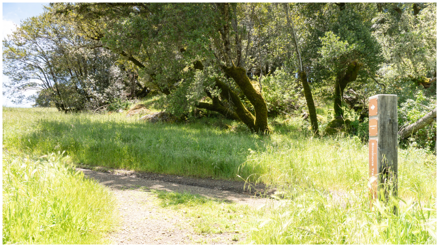
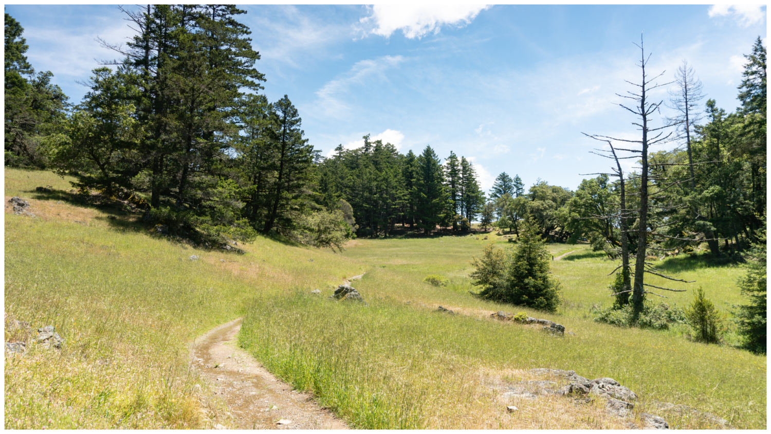
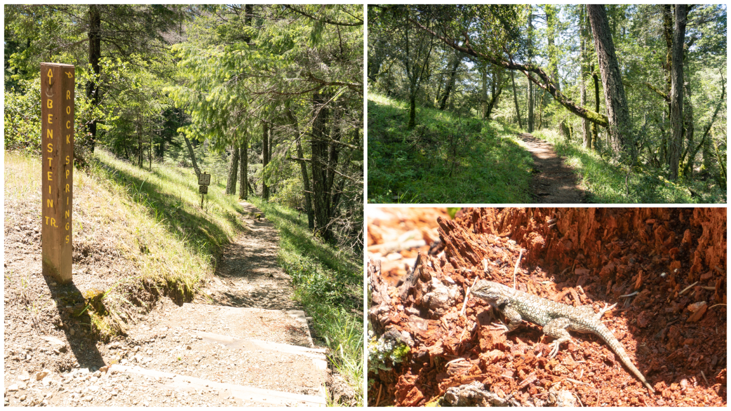
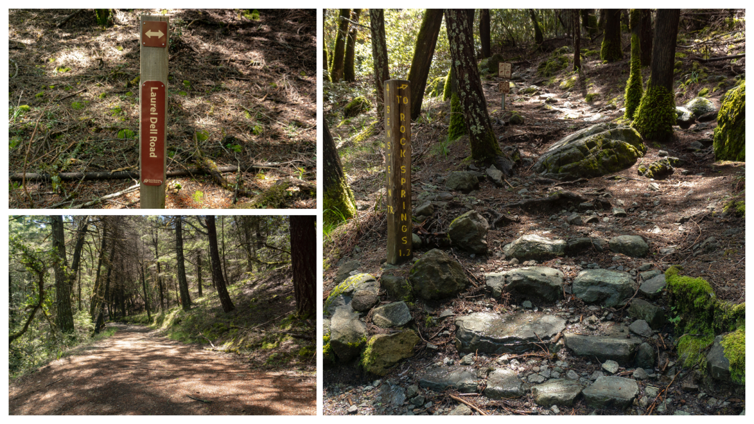
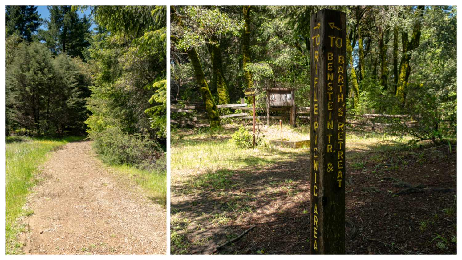
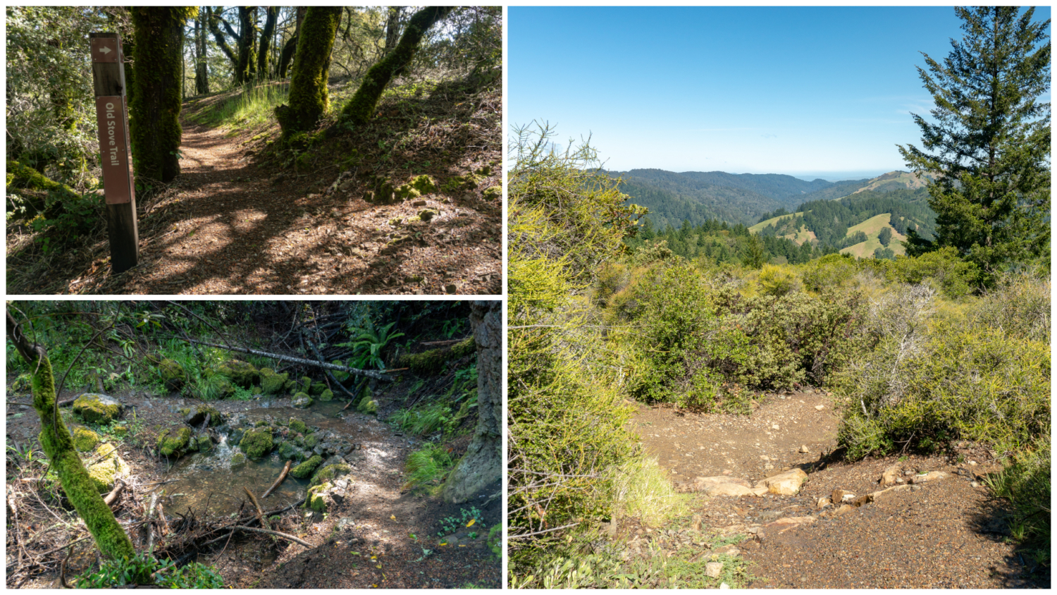
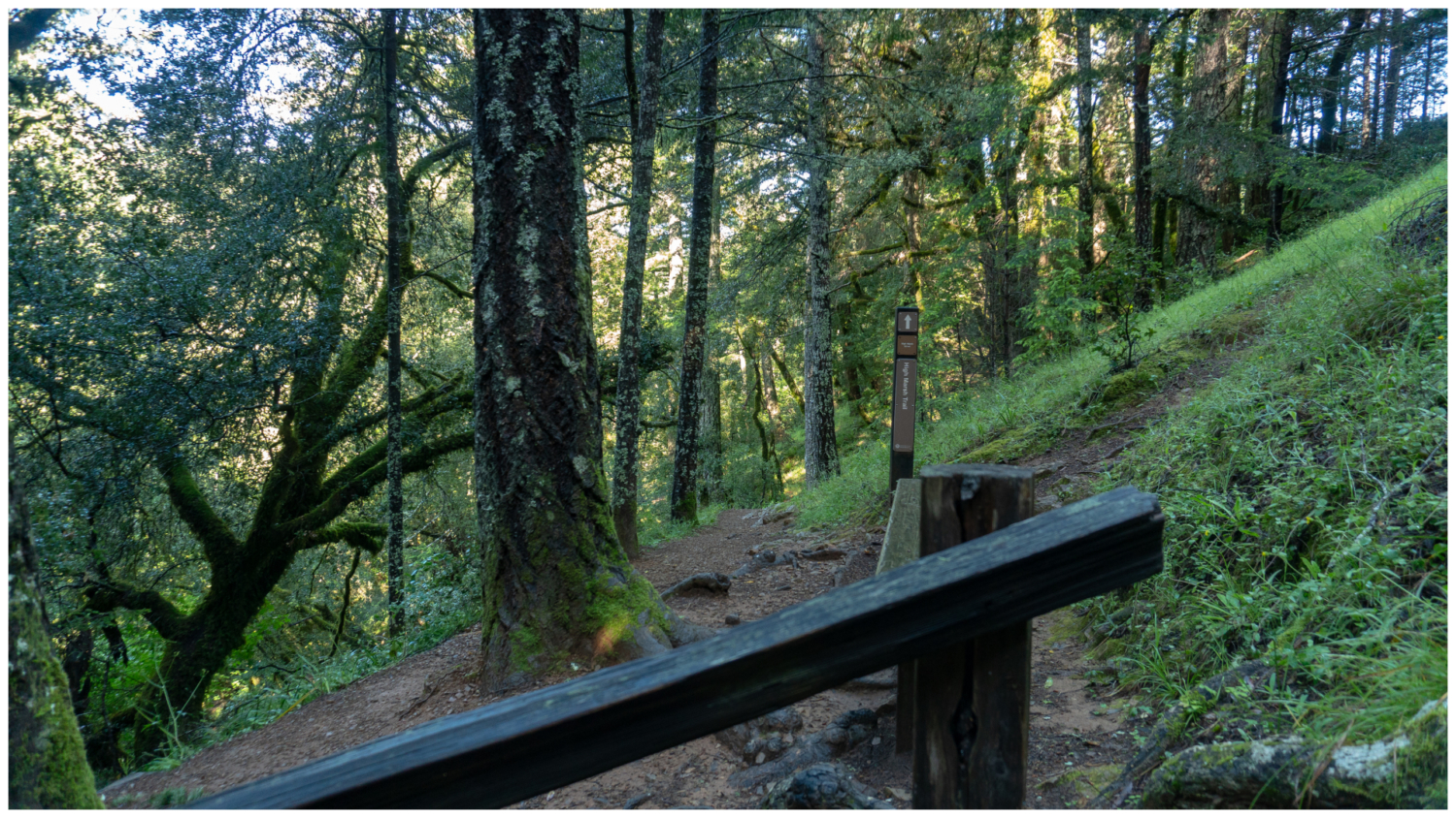
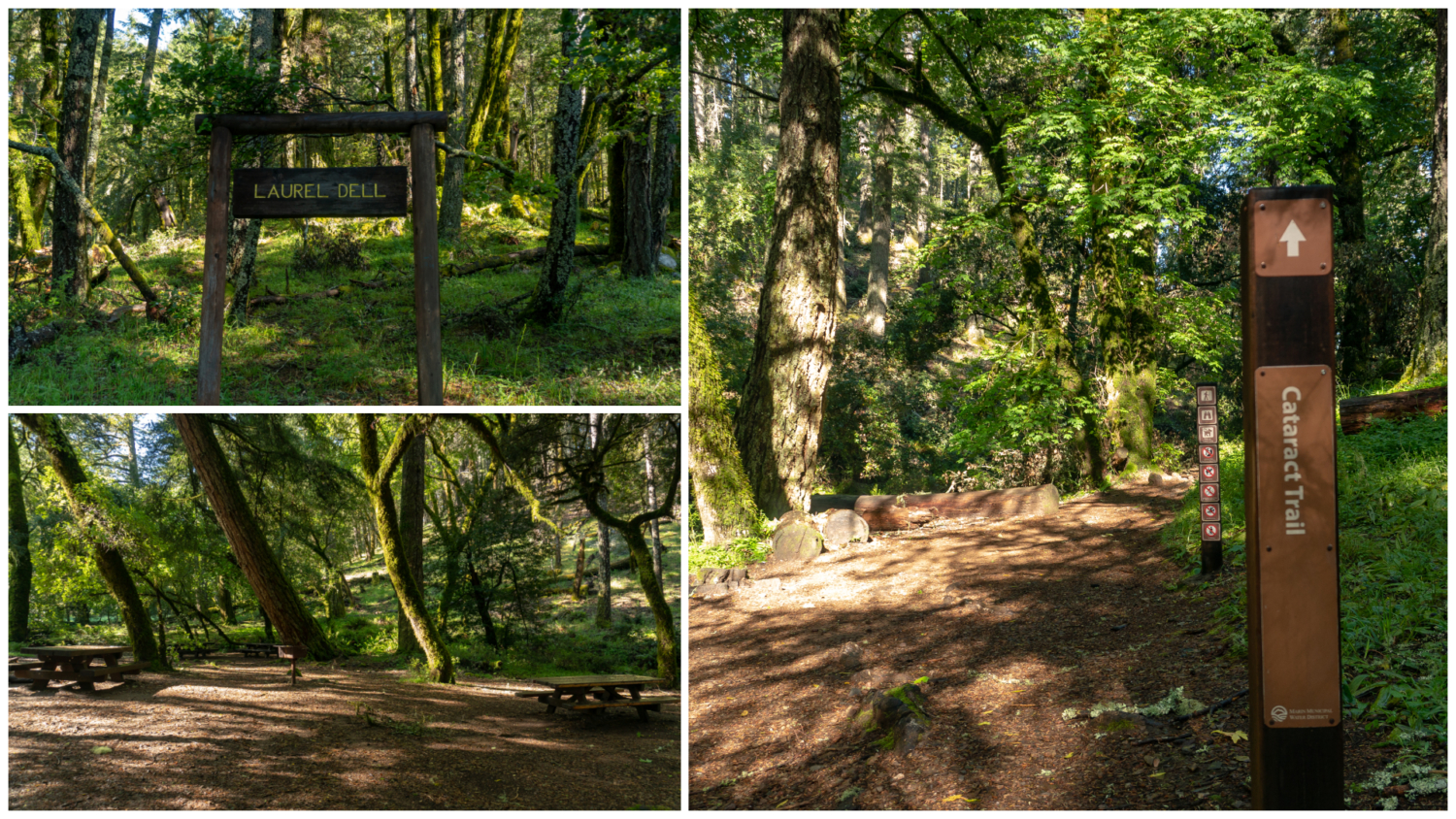
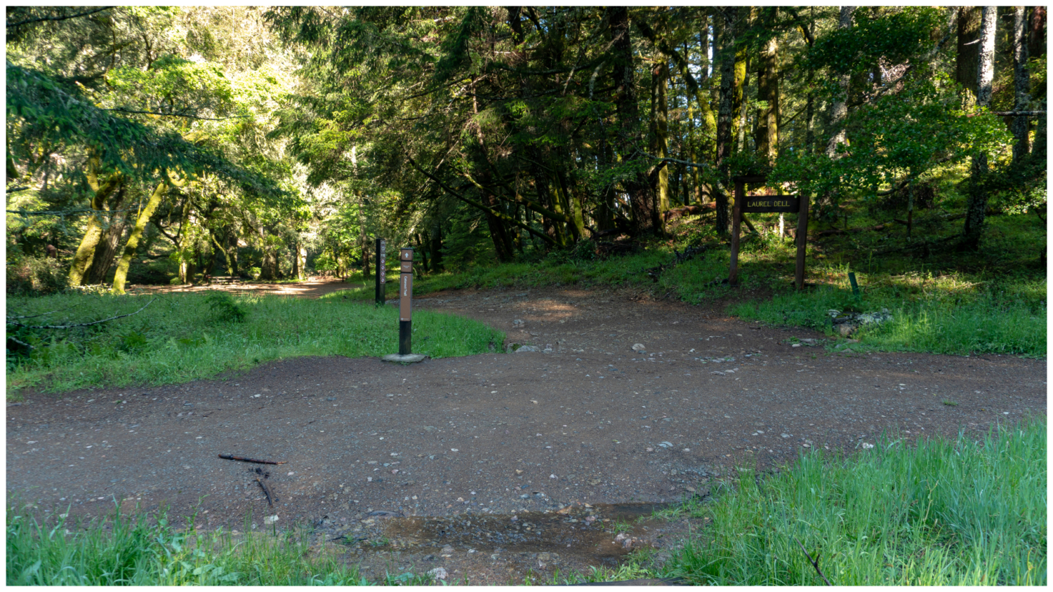
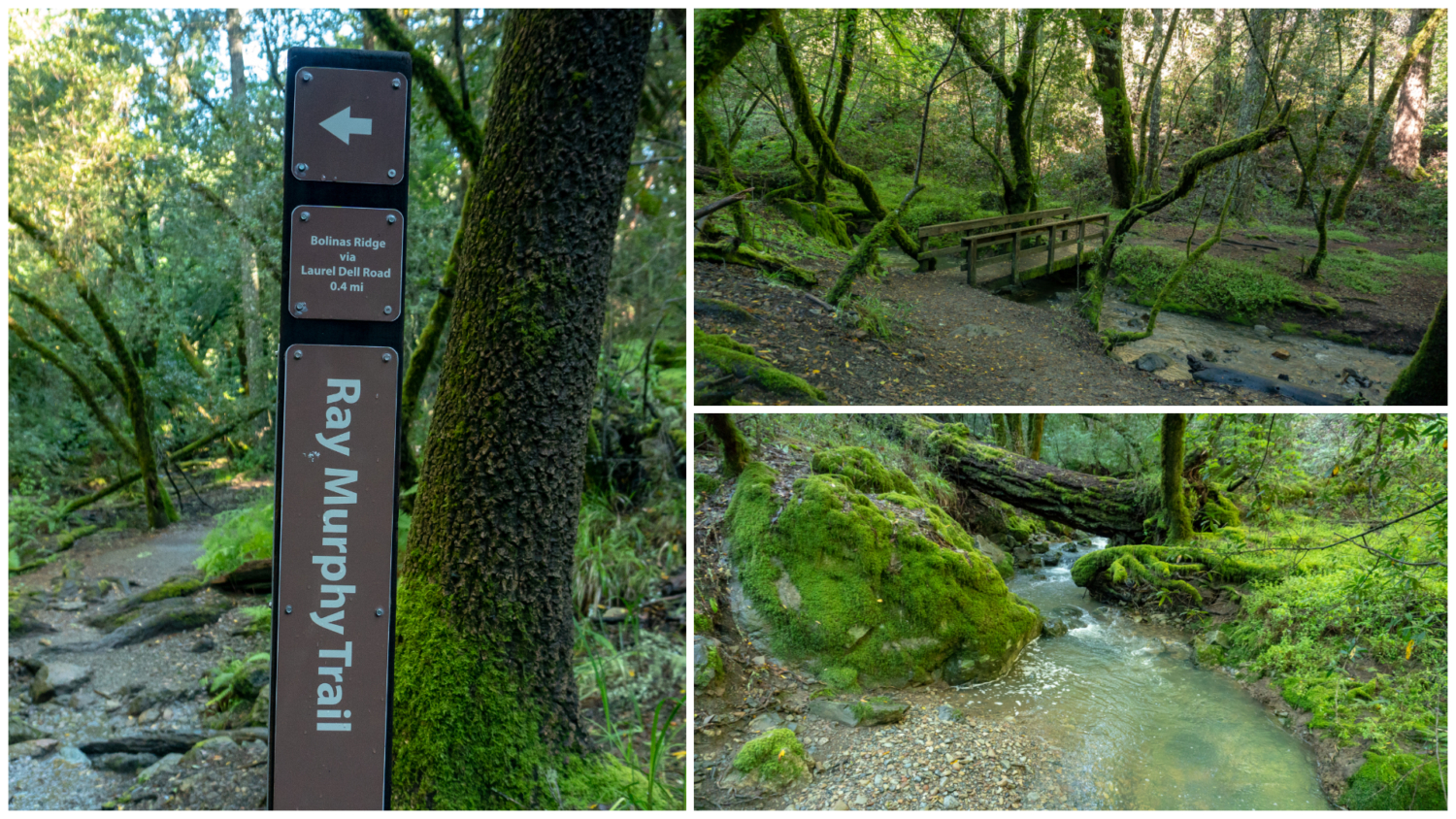
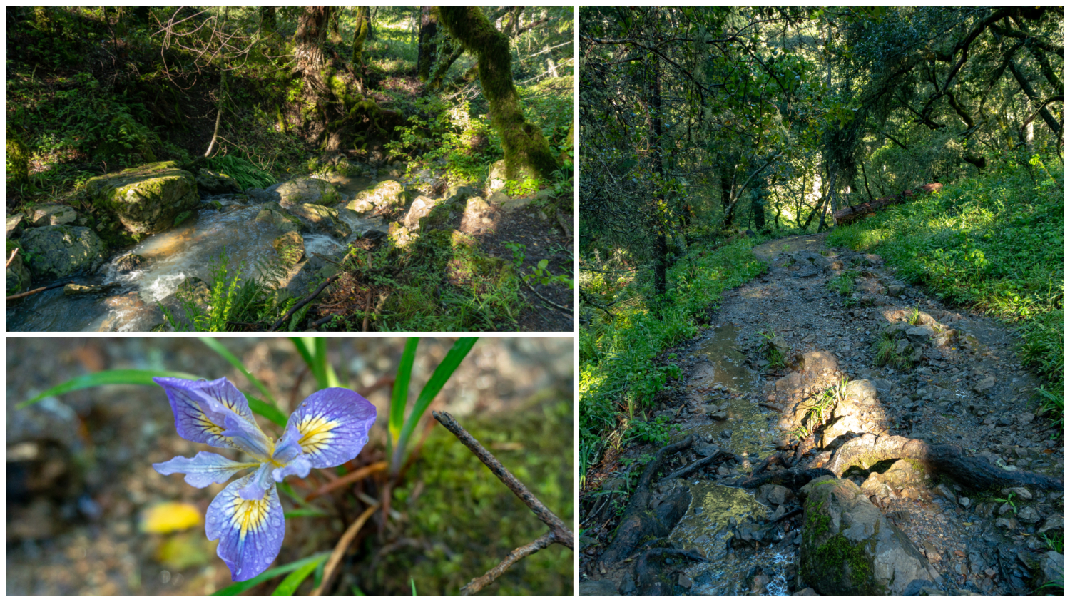
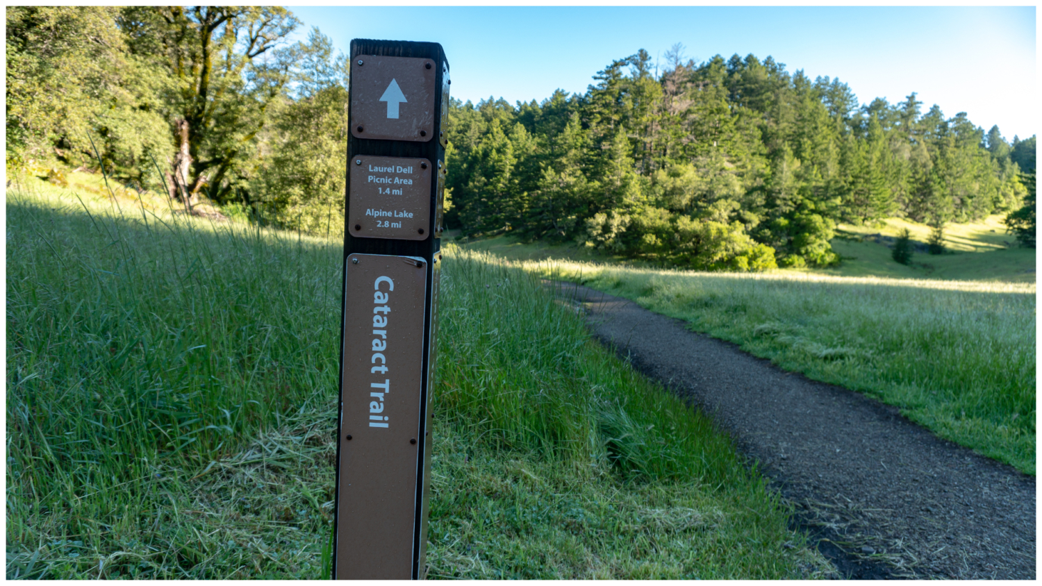
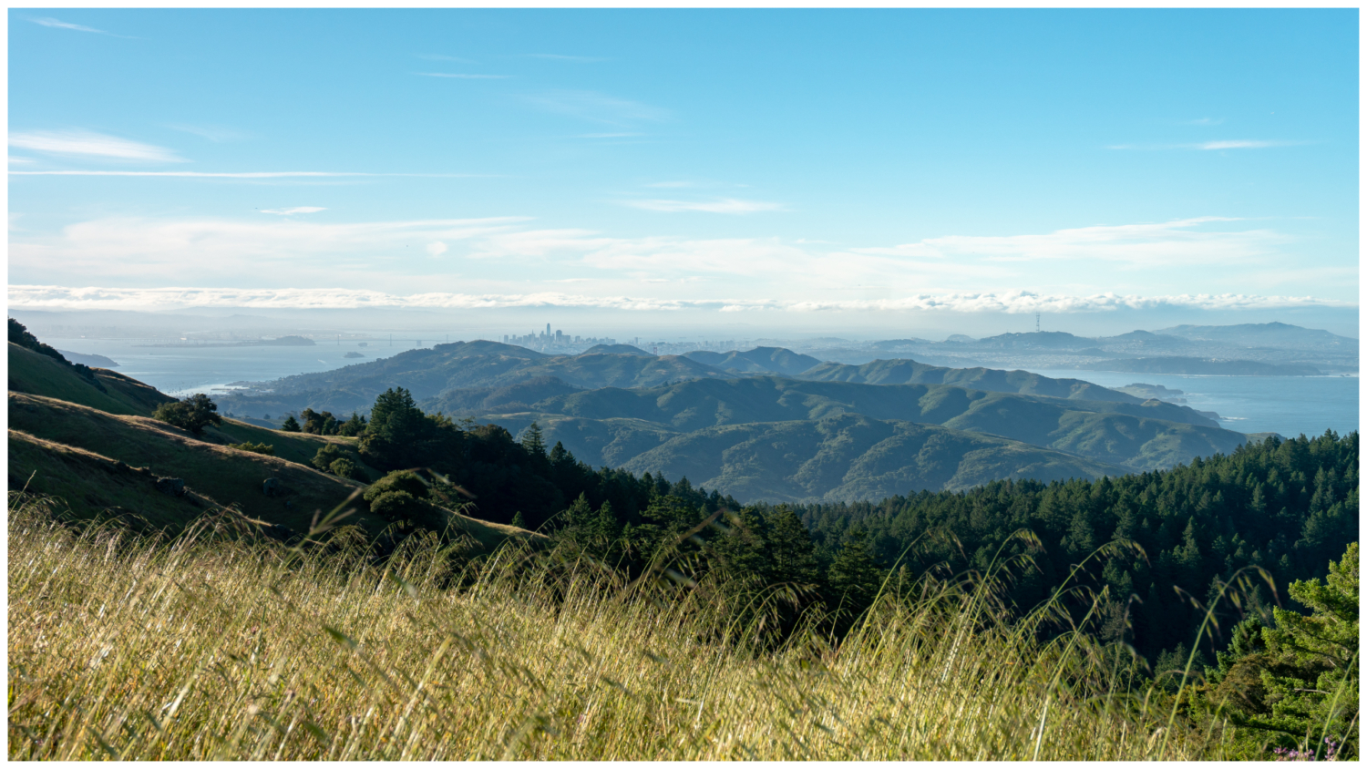
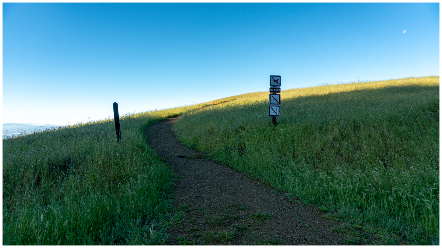
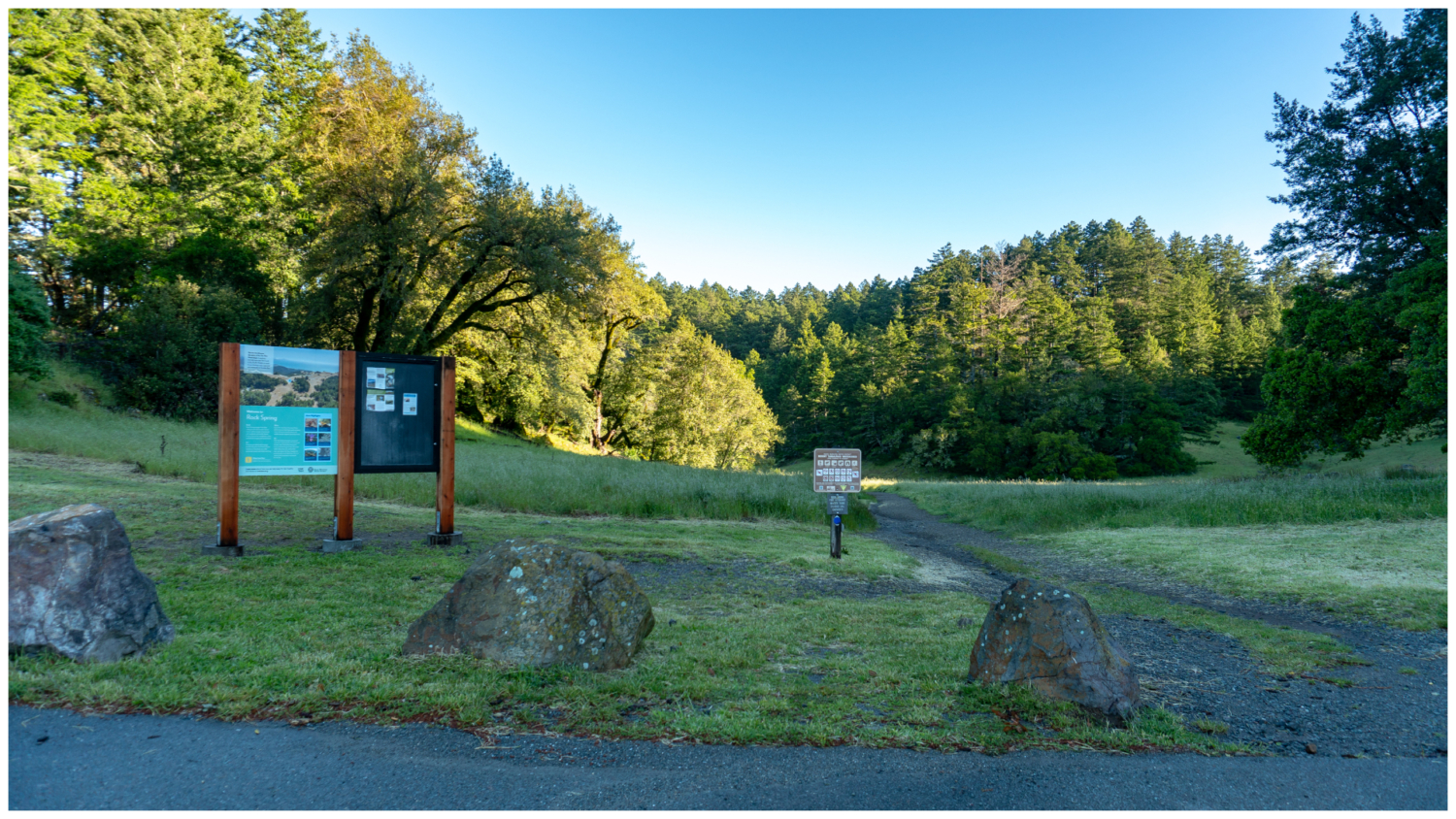
Rock Springs rests on Mount Tamalpais‘ southwestern ridge, 1972 feet above the Pacific Ocean. Multiple creeks stream down the northern face of the mountain into reservoirs below, part of the Marin Municipal Water District. This hike begins with a gorgeous view of the Bay Area, descends northwest along musical Cataract Creek, and then traverses an airy forest in a big clockwise loop. Start your hike at the Rock Springs trailhead. Before hopping on the Cataract Trail, carefully cross Ridgecrest Boulevard onto a narrow dirt trail to see a vista of San Francisco, the Bay Bridge, and the Pacific Ocean to the south. What a way to start a hike! The trail follows the ridge for about 0.4 miles before descending towards the coast. Go as far as you like, and then turn around and head back to the Rock Springs trailhead. Gorgeous views southeast of San Francisco Bay and Pacific Ocean on a clear day. Back at the Rock Springs trailhead, pick up the Cataract Trail towards the Laurel Dell Picnic Area. Tall Douglas fir, chirpy acorn woodpeckers, and coast live oak surround a grassy meadow. The wide single-track gently descends northwest. Cross a wooden bridge—the first of many—into an enchanted woodland of ferns and mossy rocks beside Cataract Creek. Keep an sharp eye out for plentiful poison oak. Frothy cascades spill beside the trail as you descend downhill on the rough trail. Congratulations, you have hit the trail jackpot: hiking along a pretty, shady creek with wildflowers. In mid-spring, look for fairy slippers, a flower in the orchid family with bright pinkish-purple flowers and a single pink and white spotted petal. Douglas iris, coral root, and rose shrubs grows here too. Arrive at the Ray Murphy Trail junction at 1.1 miles. Pop over to the bridge to take in the view of the aqua creek, and then return to the Cataract Trail, continuing north towards the Laurel Dell Picnic Area. In 0.4 miles, cross Laurel Dell Fire Road to the Laurel Dell Picnic Area. There are picnic tables here if you’d like to take a snack break. I wa
Trail Stats
10.4 km
419 m
681 m
451 m
—
Photos
Trail photo
No caption provided.
Trail photo
No caption provided.

Trail photo
No caption provided.
Trail photo
No caption provided.

Trail photo
No caption provided.
Trail photo
No caption provided.
Trail photo
No caption provided.

Trail photo
No caption provided.

Trail photo
No caption provided.

Trail photo
No caption provided.

Trail photo
No caption provided.

Trail photo
No caption provided.

Trail photo
No caption provided.
Trail photo
No caption provided.

Trail photo
No caption provided.

Trail photo
No caption provided.

Trail photo
No caption provided.

Trail photo
No caption provided.
Trail photo
No caption provided.
Trail photo
No caption provided.
Trail photo
No caption provided.
Trail photo
No caption provided.
Trail photo
No caption provided.

Trail photo
No caption provided.
Trail photo
No caption provided.
Trail photo
No caption provided.
Trail photo
No caption provided.
Trail photo
No caption provided.