4 min
Overview
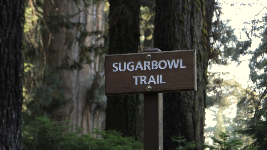
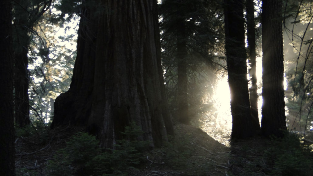
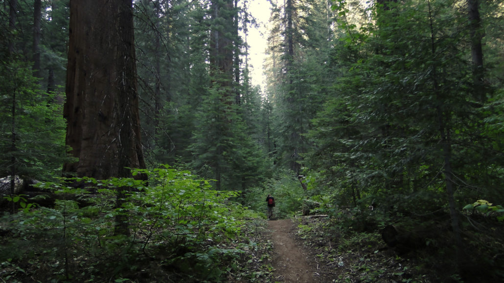
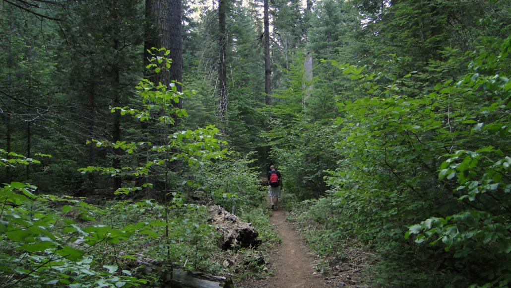
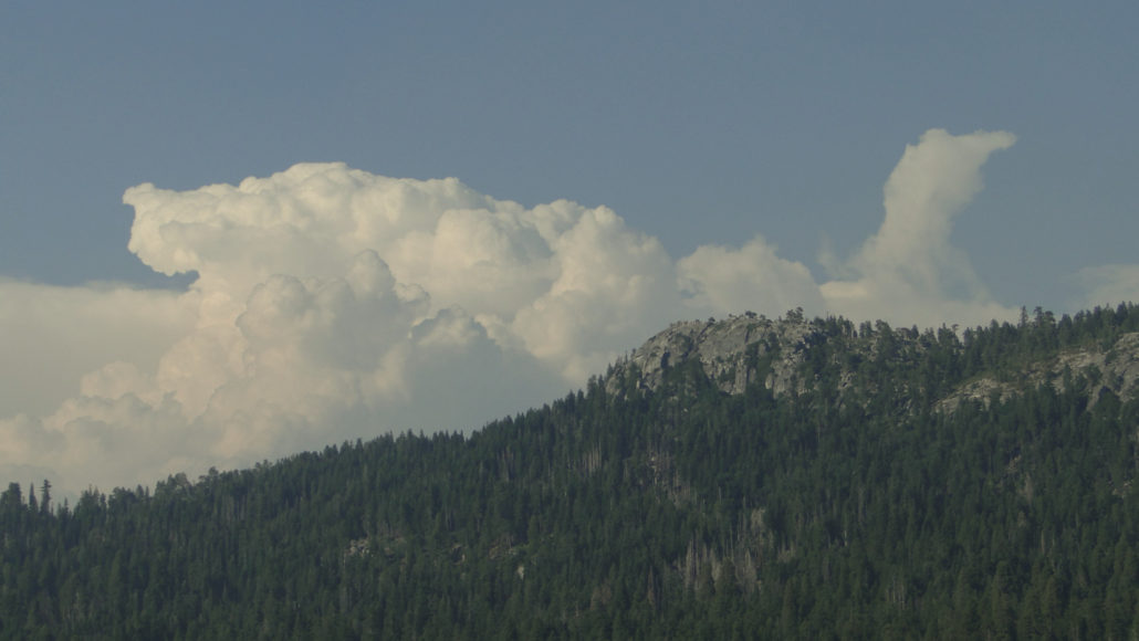
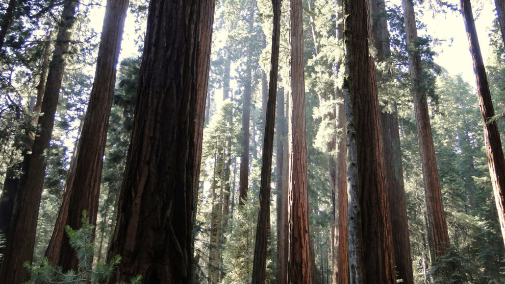
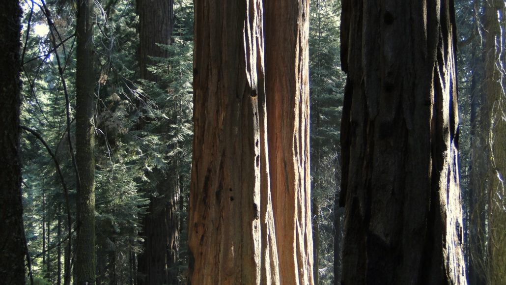
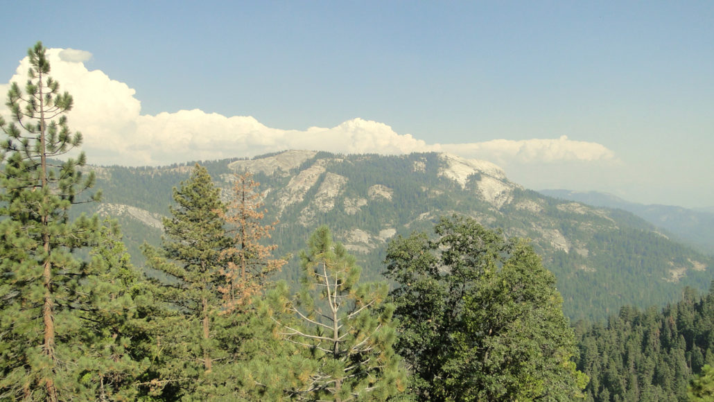
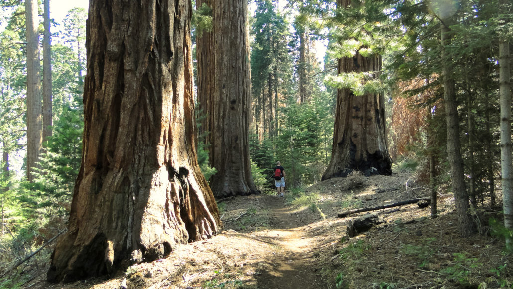
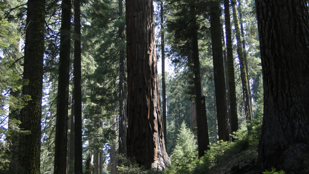
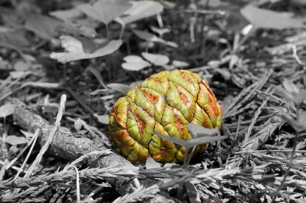
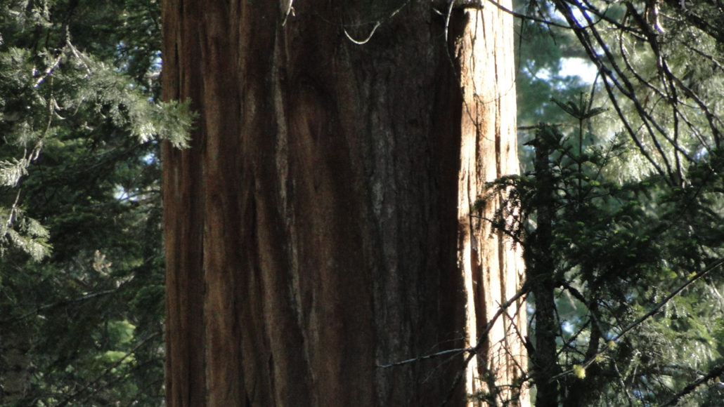
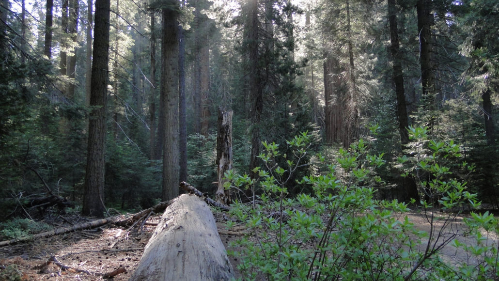
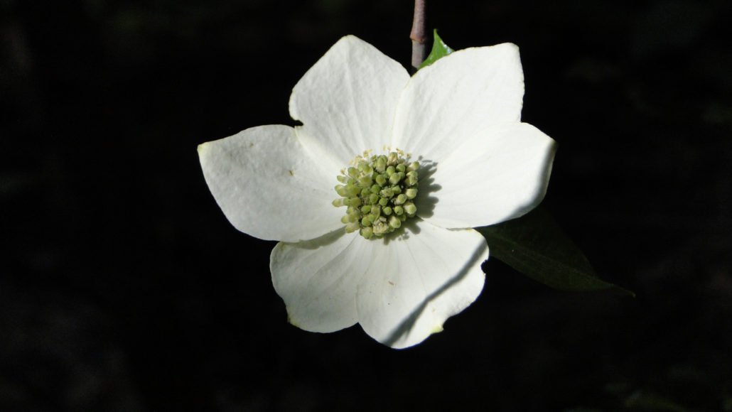
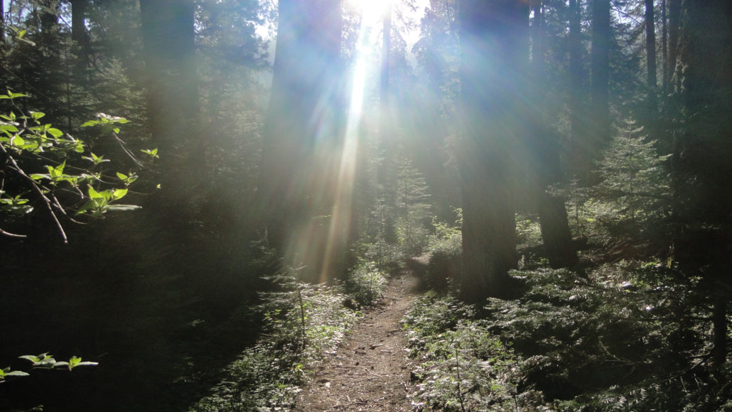
Hike the Sugarbowl Loop through Redwood Canyon on an early June morning, and you may see the sun’s rays filtering down through the boughs of towering sequoia trees. You will pass through verdant corridors of Pacific dogwoods, which may be heavily laden with delicate white flowers. Bright red snow plant may rise out of the duff on the forest floor like a beautiful crimson alien. Mule deer may peak shyly through the brush, and the trickle of Redwood Creek will soothe the senses. Dogwood flower This is the lush, primeval world of Redwood Canyon, which contains the largest of the giant sequoia groves along the slopes of Redwood Mountain and Big Baldy Ridge and along the banks of Redwood Creek. Unlike the more open and sunny groves at Grant Grove and Giant Forest, Redwood Canyon supports a dense, deeply-shaded forest with thousands of medium and large sequoia trees. Up on the north-facing slopes of Redwood Mountain, along which the Sugarbowl Trail travels, the forest is drier, but the trees are larger. On south-facing slopes, the sequoias disappear entirely to be replaced by black oaks, Jeffrey pines, and sugar pines. The variety in the biomes (formations of plants and animals that have similar characteristics) makes Redwood Canyon a pleasure to hike. On the Sugarbowl Trail Redwood Canyon is the epicenter of the National Park Service’s prescribed-burning program. For many years, agencies charged with protecting the land adopted a “protect at all costs mentality” that encouraged extensive efforts to prevent fires of any kind. After years of this policy, scientists and rangers eventually discovered that the forests were struggling and the sequoias were not regenerating. Forest fires, when they did occur, were more intense, leading to more crown fires and stand-replacing fire events. The lush floor of Redwood Canyon It turns out that the occasional fire is beneficial in a number of ways for forests, and this is particularly true within sequoia groves. Sequoia cones, like many other members of the cypress family, do n
Trail Stats
11.4 km
426 m
2119 m
1709 m
—
Photos
Trail photo
No caption provided.
Trail photo
No caption provided.
Trail photo
No caption provided.
Trail photo
No caption provided.
Trail photo
No caption provided.
Trail photo
No caption provided.
Trail photo
No caption provided.
Trail photo
No caption provided.
Trail photo
No caption provided.
Trail photo
No caption provided.
Trail photo
No caption provided.
Trail photo
No caption provided.
Trail photo
No caption provided.
Trail photo
No caption provided.
Trail photo
No caption provided.
Trail photo
No caption provided.