4 min
Overview
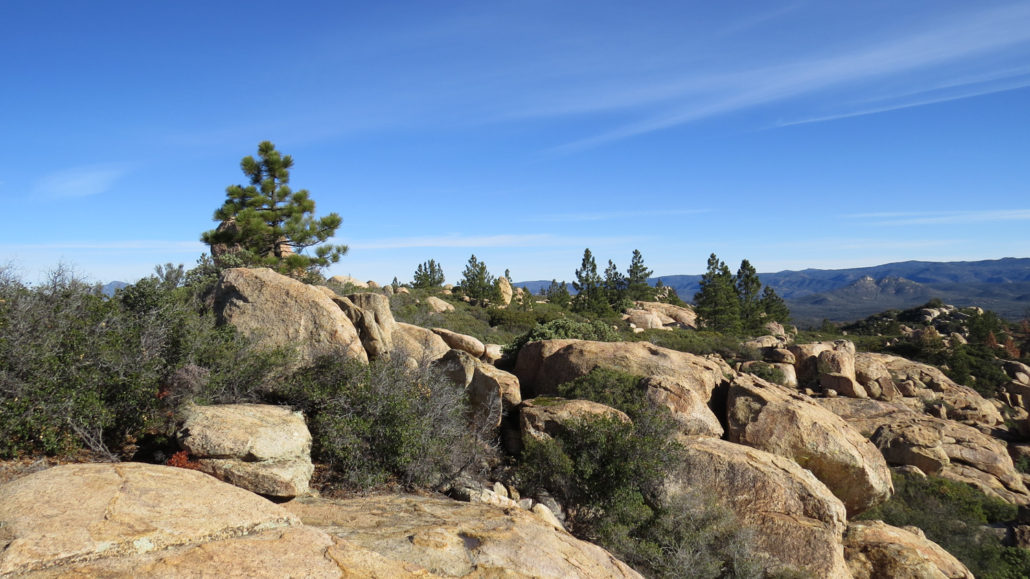
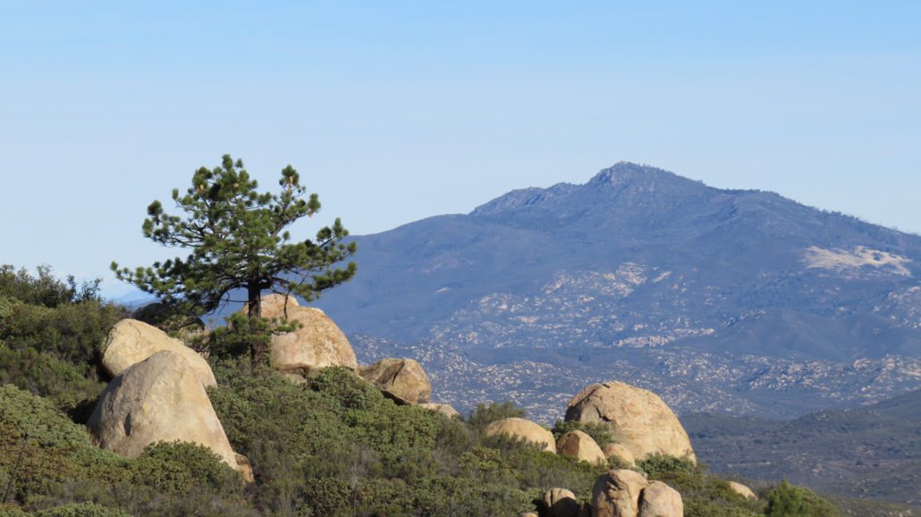
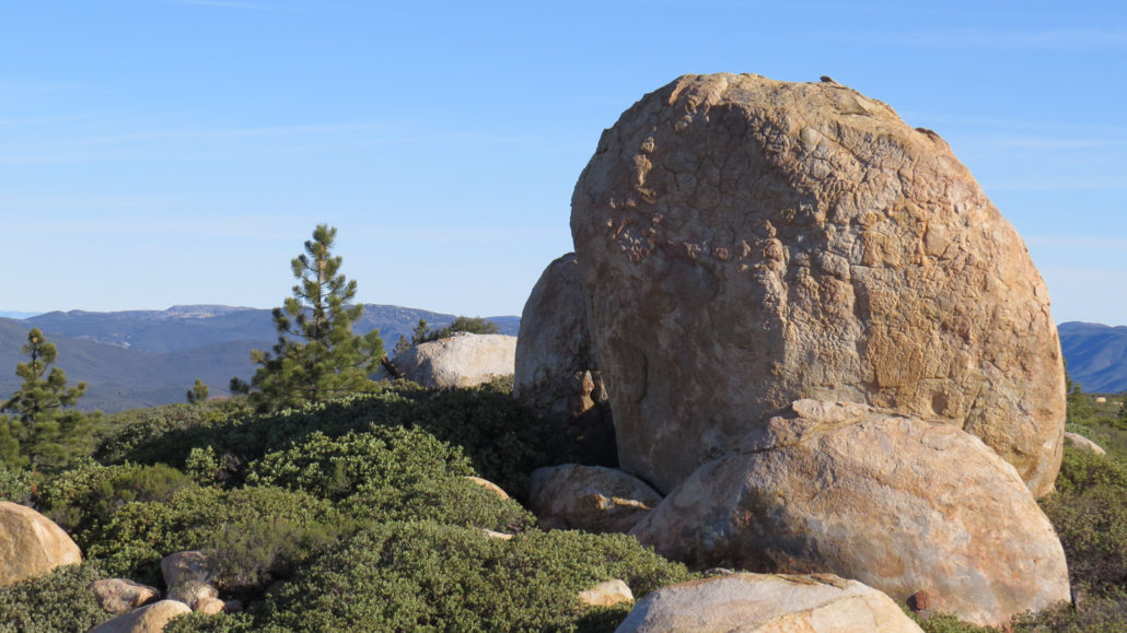
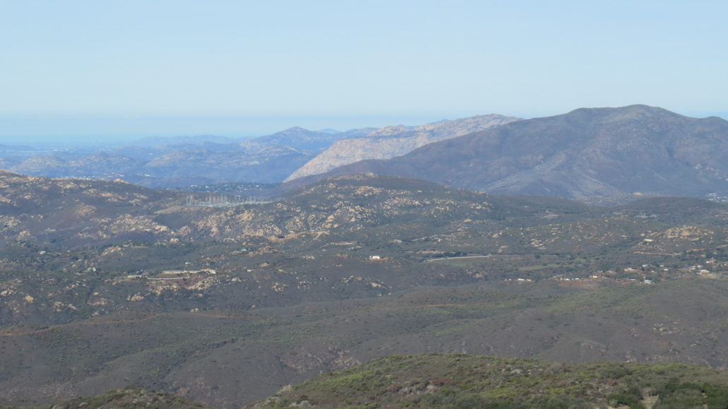
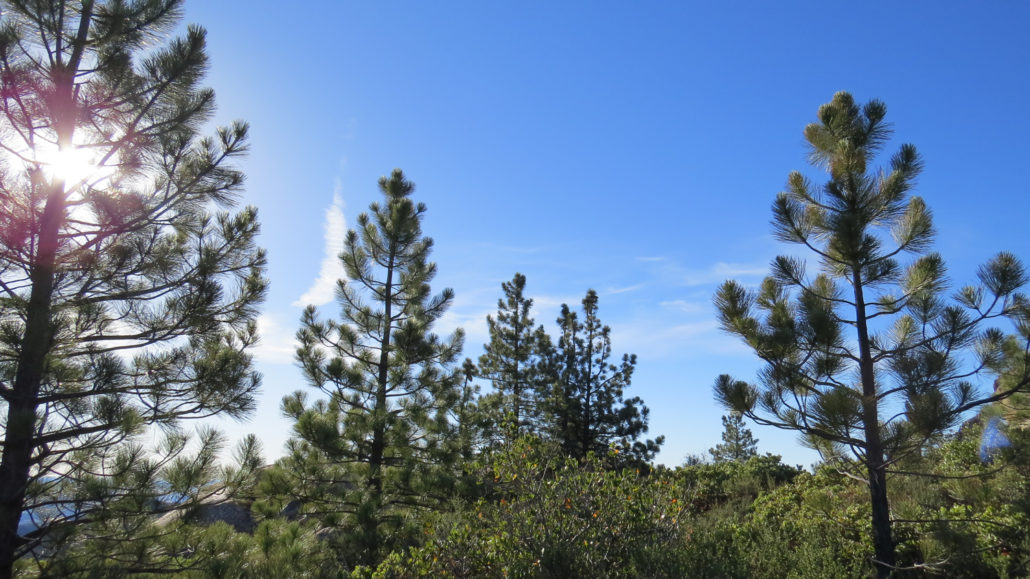
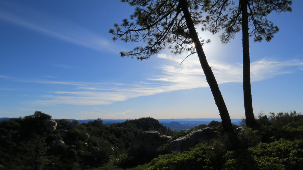
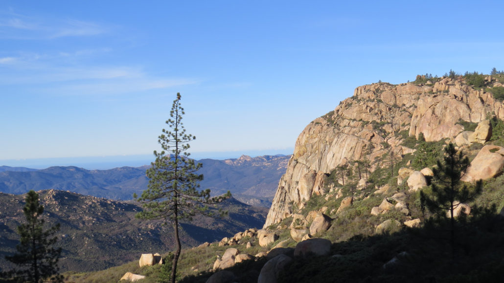
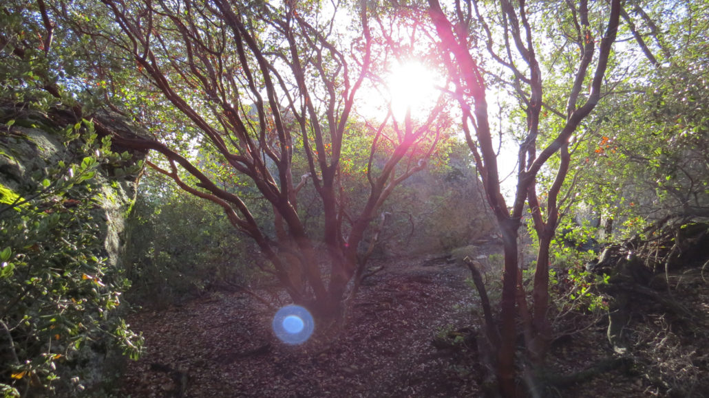
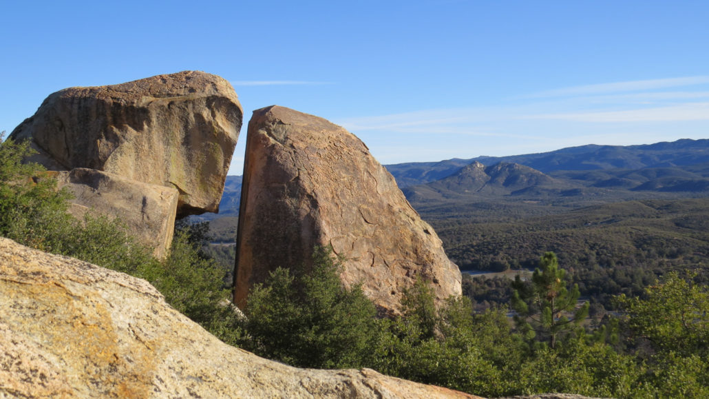
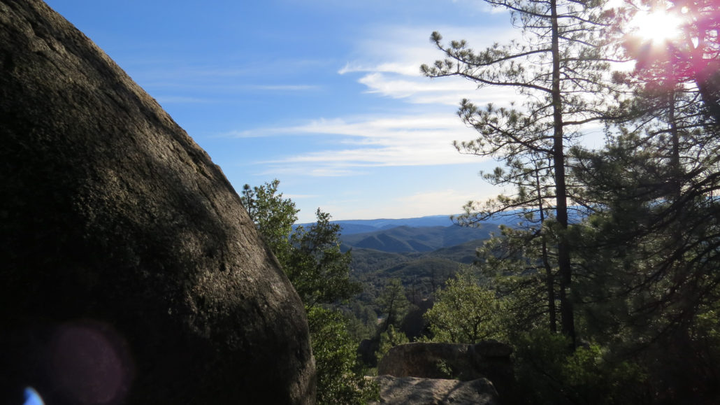
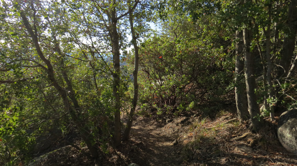
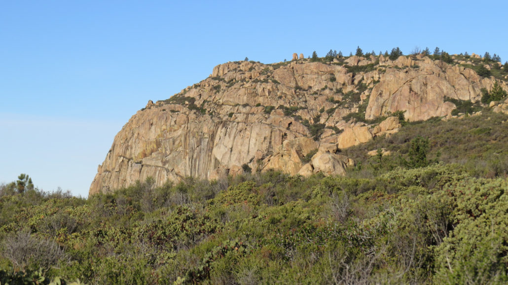
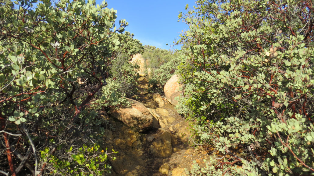
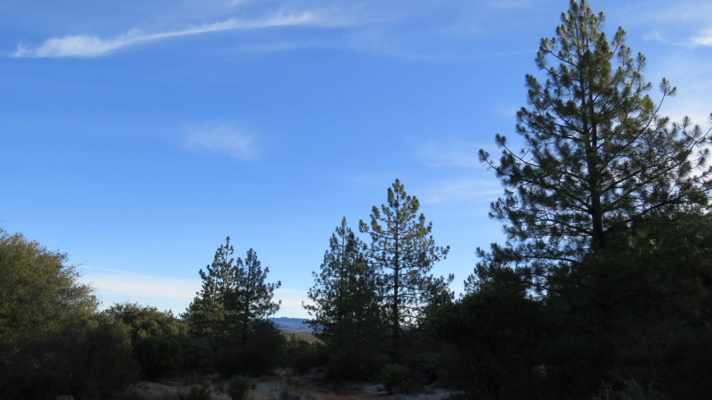
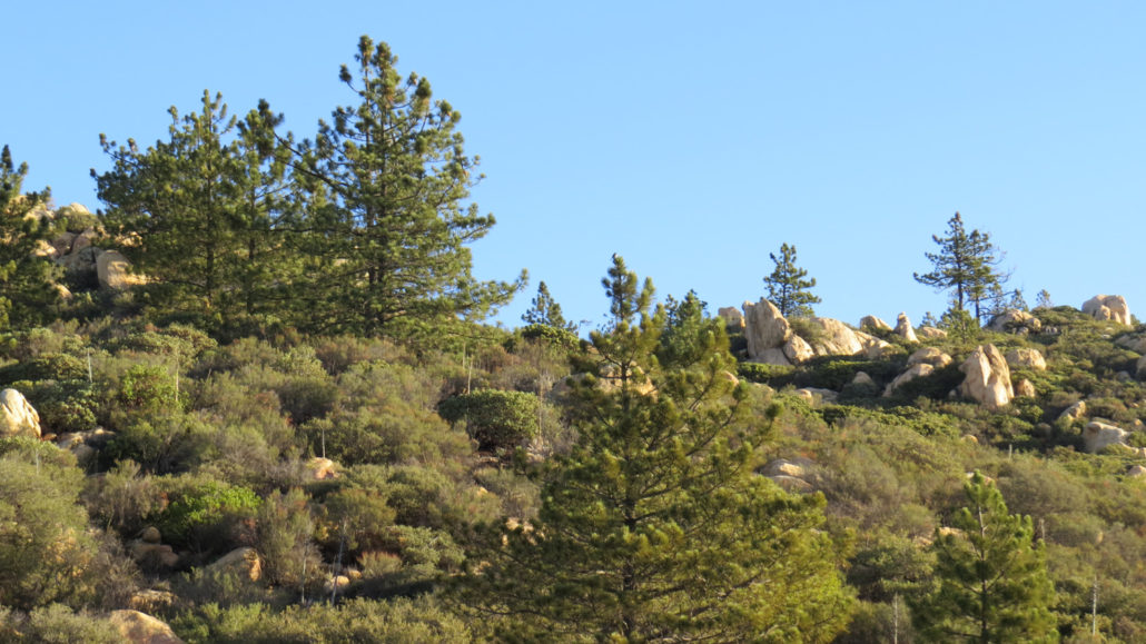
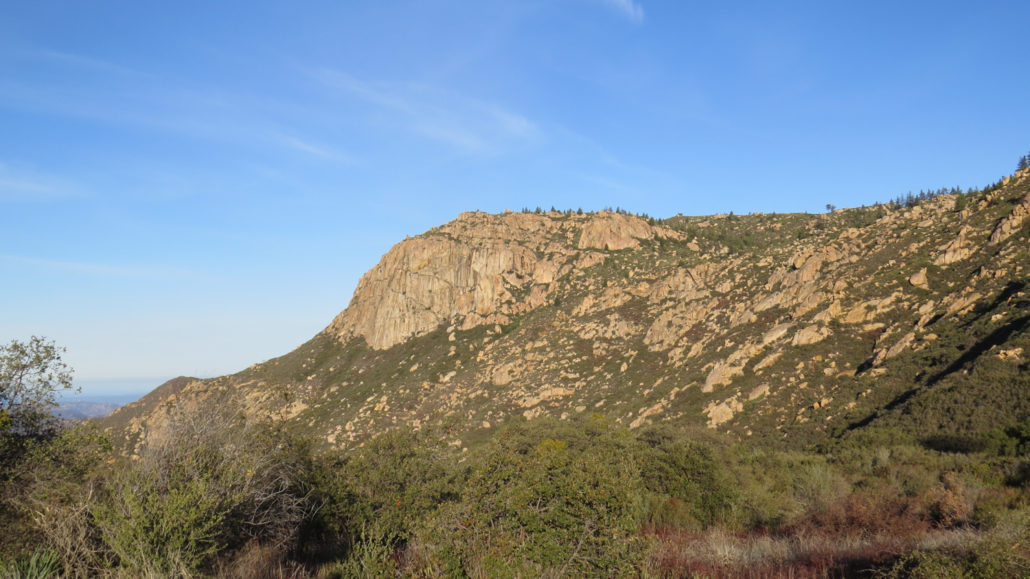
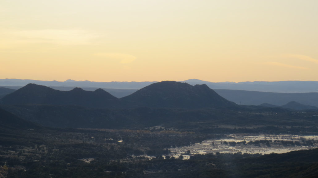
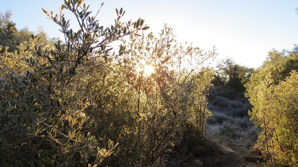
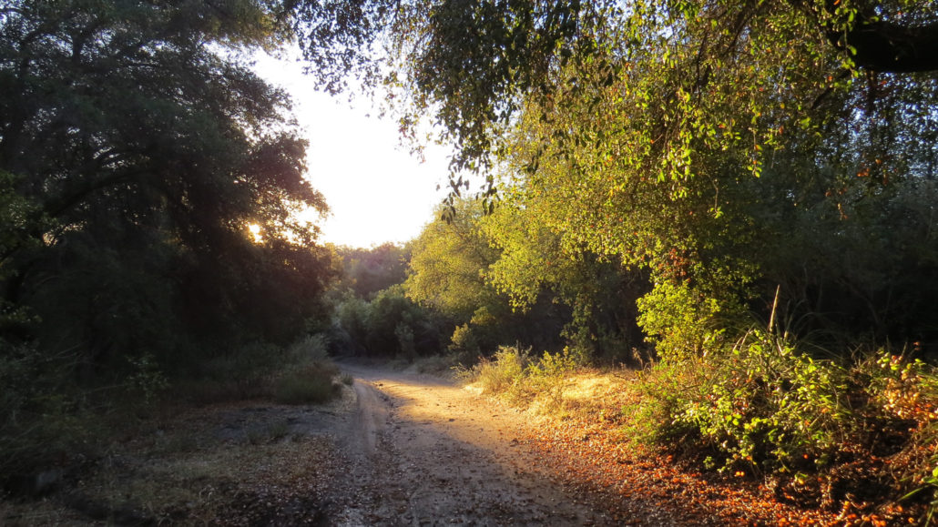
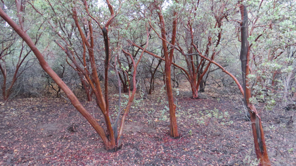
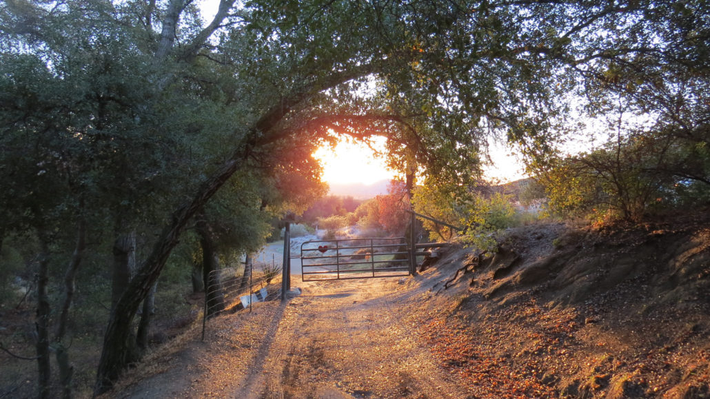
Corte Madera Mountain is a fine introduction to the Pine Creek Wilderness, which occupies a substantial portion of Cleveland National Forest’s Descanso District south of Interstate 8. While the most prominent feature of the wilderness is Pine Valley Creek and its attendant canyon, Corte Madera and its sister peak Los Pinos Mountain form high points from which to survey the wilderness and much of the rest of San Diego. In addition to the fine views, Corte Madera’s dramatic south face plays host to a number of nesting birds of prey, including falcons, hawks, and golden eagles. These birds tend to nest during the late fall, winter, and early spring months. Cleveland National Forest has introduced seasonal closures along the mountain’s sheer cliff – a temptation for rock climbers – and those closures extend to the extreme edge of the summit. If you are lucky, you may spot one of these raptors soaring over the canyon below. Starting from the smattering of parking spots along the shoulder of Corral Canyon Road, make your way past the locked gate to follow an old dirt road through a dense woodland of coast live oaks. This road ambles along pleasantly for a stretch past more oaks and a patch of tree-sized manzanitas before coming to a hairpin turn and a junction for the Espinosa Trail. Continue straight on the Espinosa Trail – the hairpin turn to the right will take you to private property – and begin a moderate climb through chaparral. Views back over the Lake Morena area and the desert beyond will open as you climb toward a saddle between Los Pinos Mountain and Corte Madera. Corte Madera Mountain At the junction, the Espinosa Trail continues straight ahead, while Los Pinos Mountain Road veers off to the left. Turn right to continue climbing along the northern extension of Los Pinos Road, which will eventually dead-end. As you walk this road, the impressive cliff on the south face of Corte Madera looms on your left, while the pine-studded ridgeline beckons you on. Before the road ends, you will reach the single-track,
Trail Stats
11.5 km
518 m
1418 m
1004 m
—
Photos
Trail photo
No caption provided.
Trail photo
No caption provided.
Trail photo
No caption provided.
Trail photo
No caption provided.
Trail photo
No caption provided.
Trail photo
No caption provided.
Trail photo
No caption provided.
Trail photo
No caption provided.
Trail photo
No caption provided.
Trail photo
No caption provided.
Trail photo
No caption provided.
Trail photo
No caption provided.
Trail photo
No caption provided.
Trail photo
No caption provided.
Trail photo
No caption provided.
Trail photo
No caption provided.
Trail photo
No caption provided.
Trail photo
No caption provided.
Trail photo
No caption provided.
Trail photo
No caption provided.
Trail photo
No caption provided.