5 min
Overview
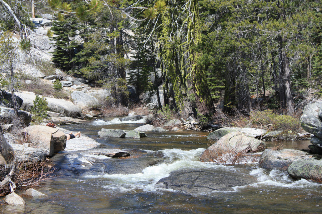
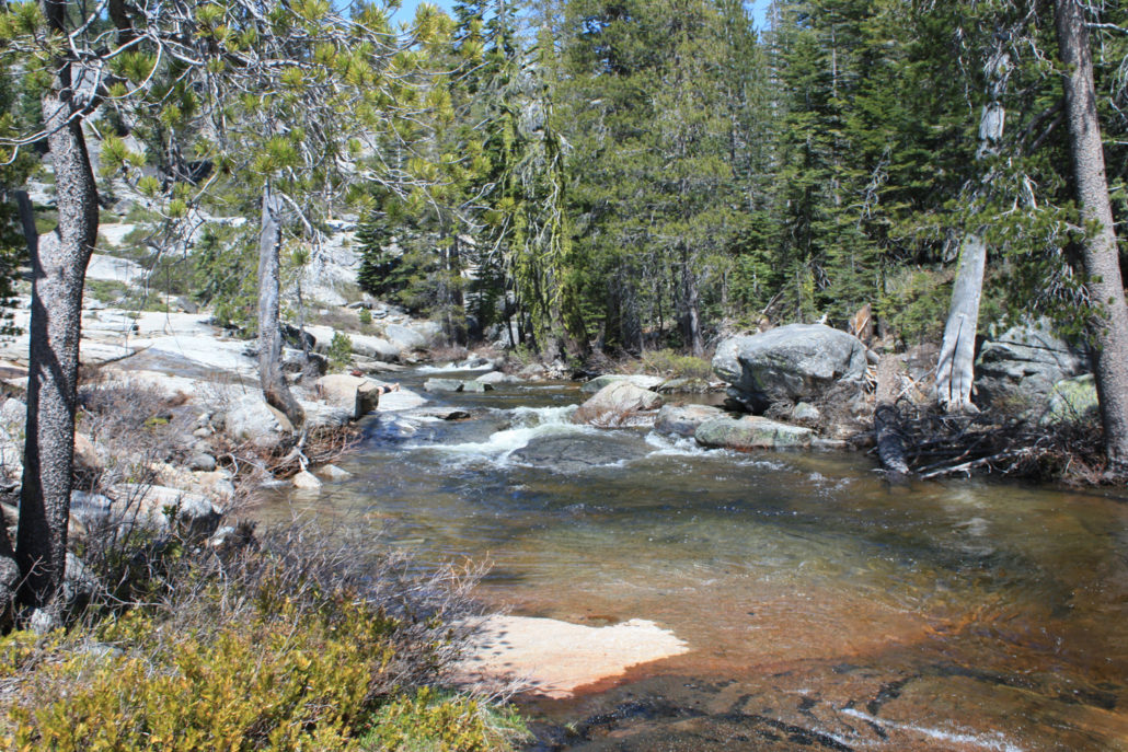
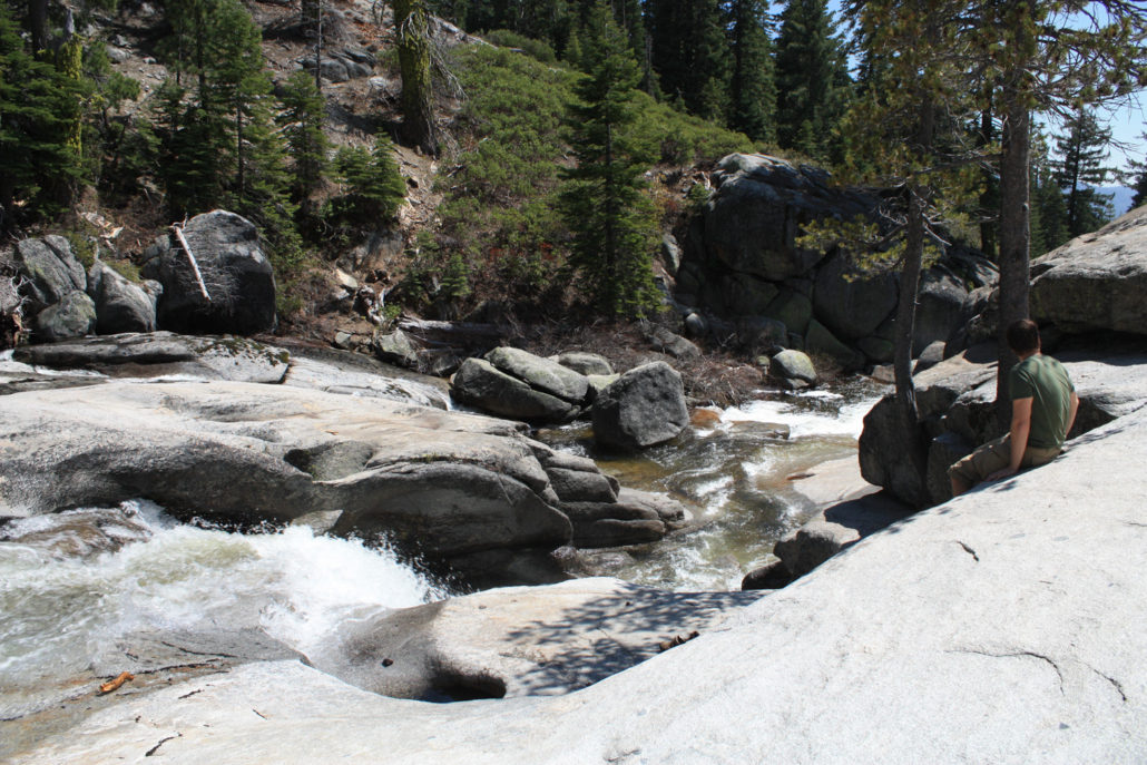
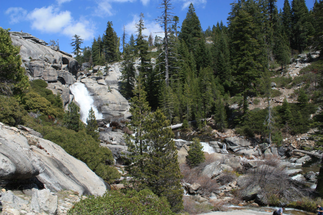
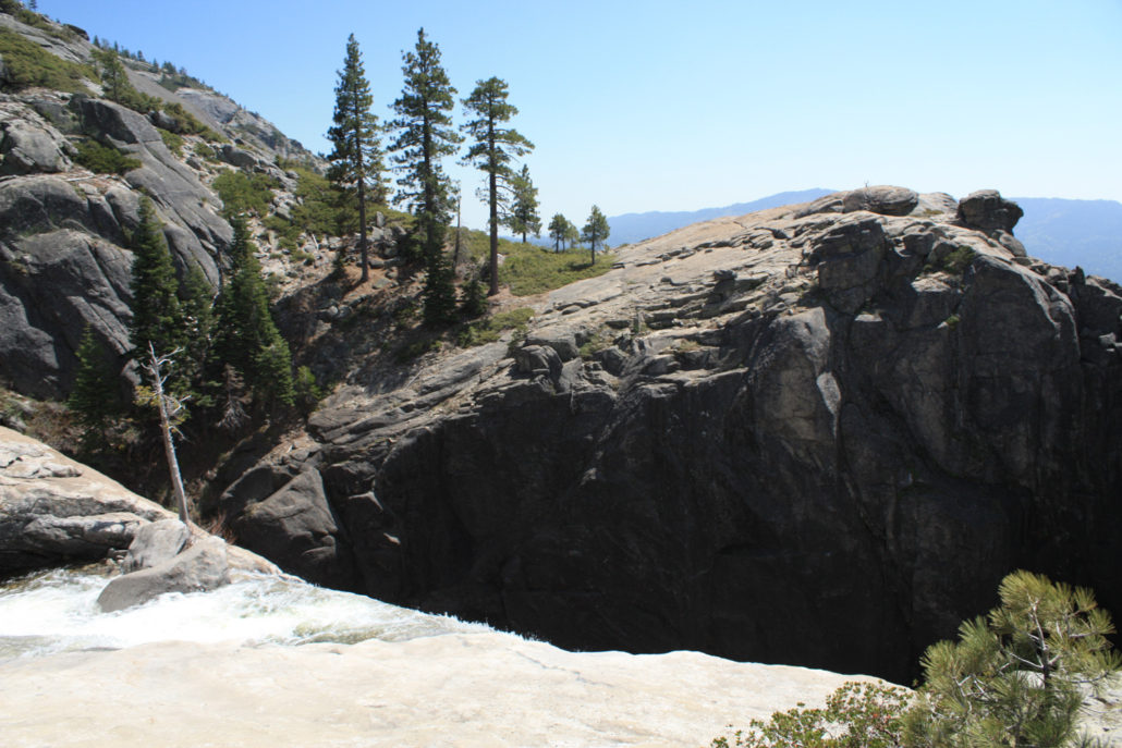
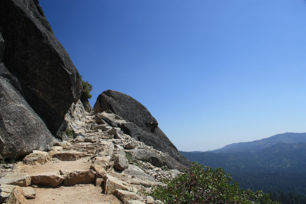
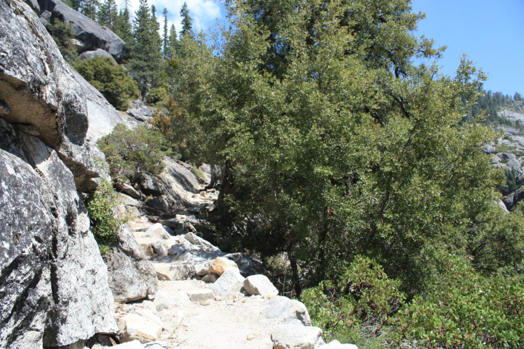
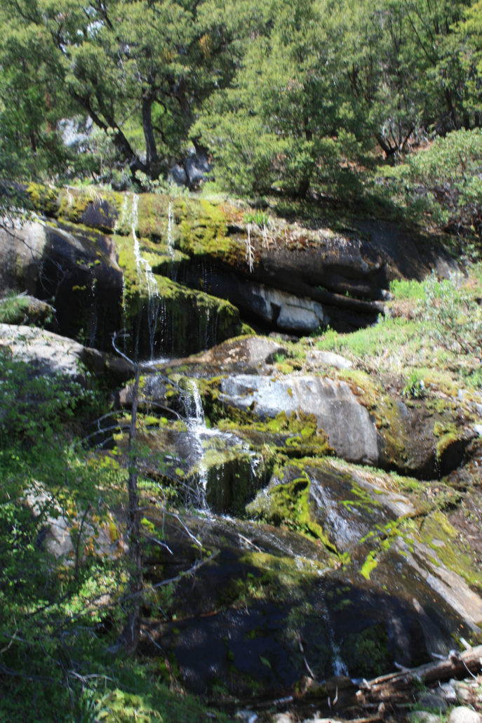
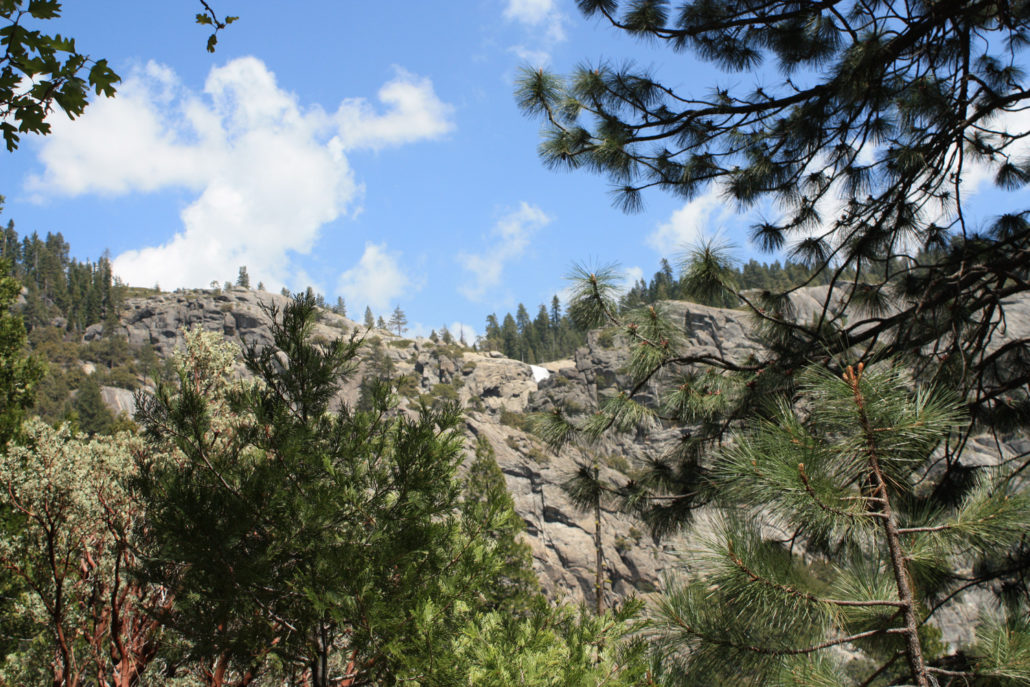
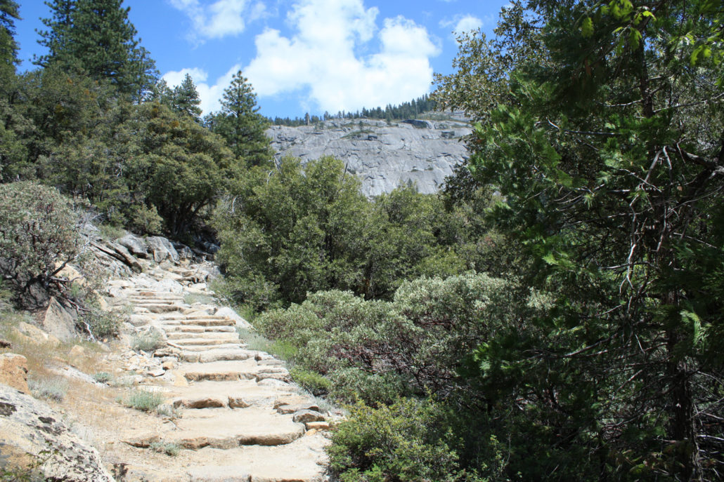
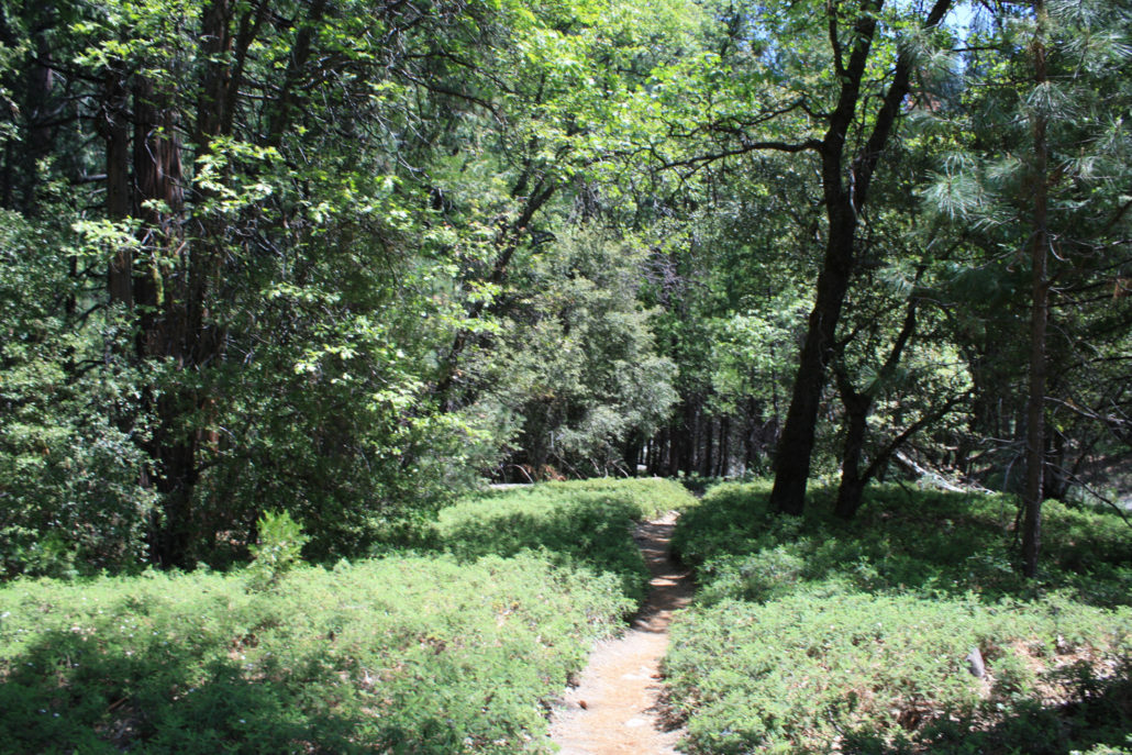
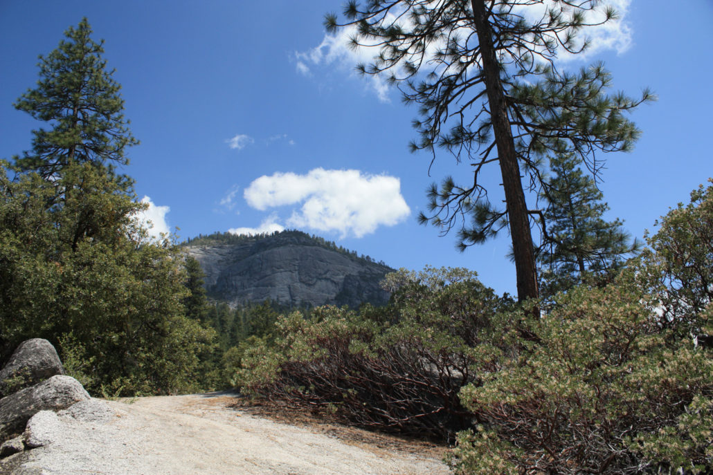
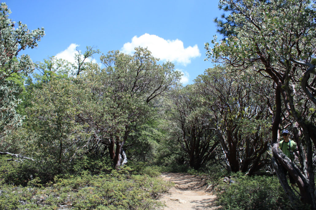
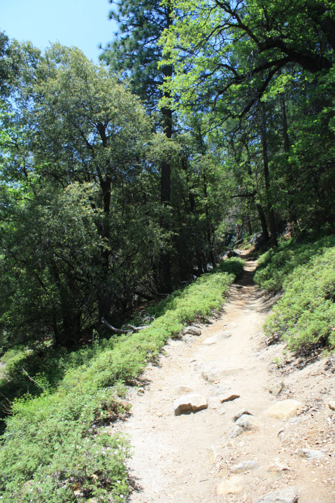
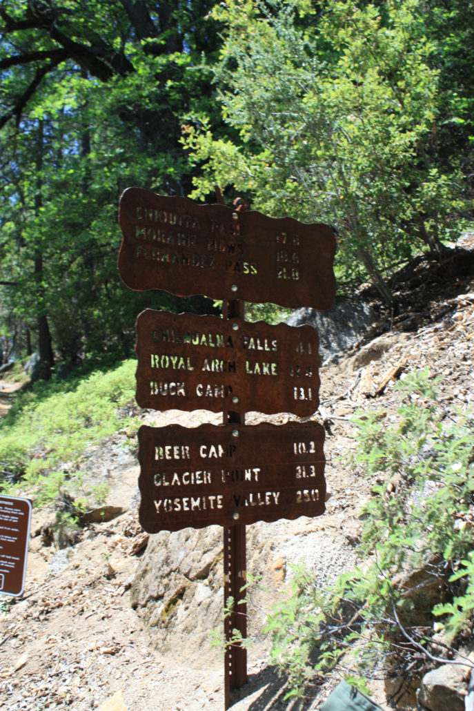
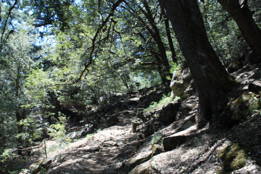
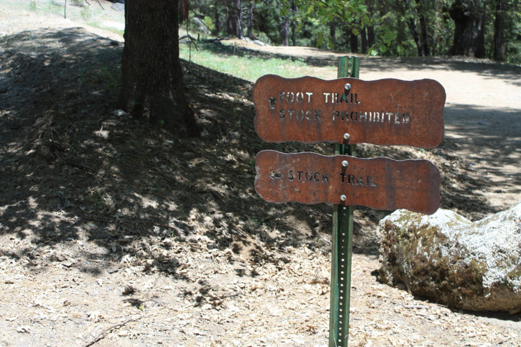
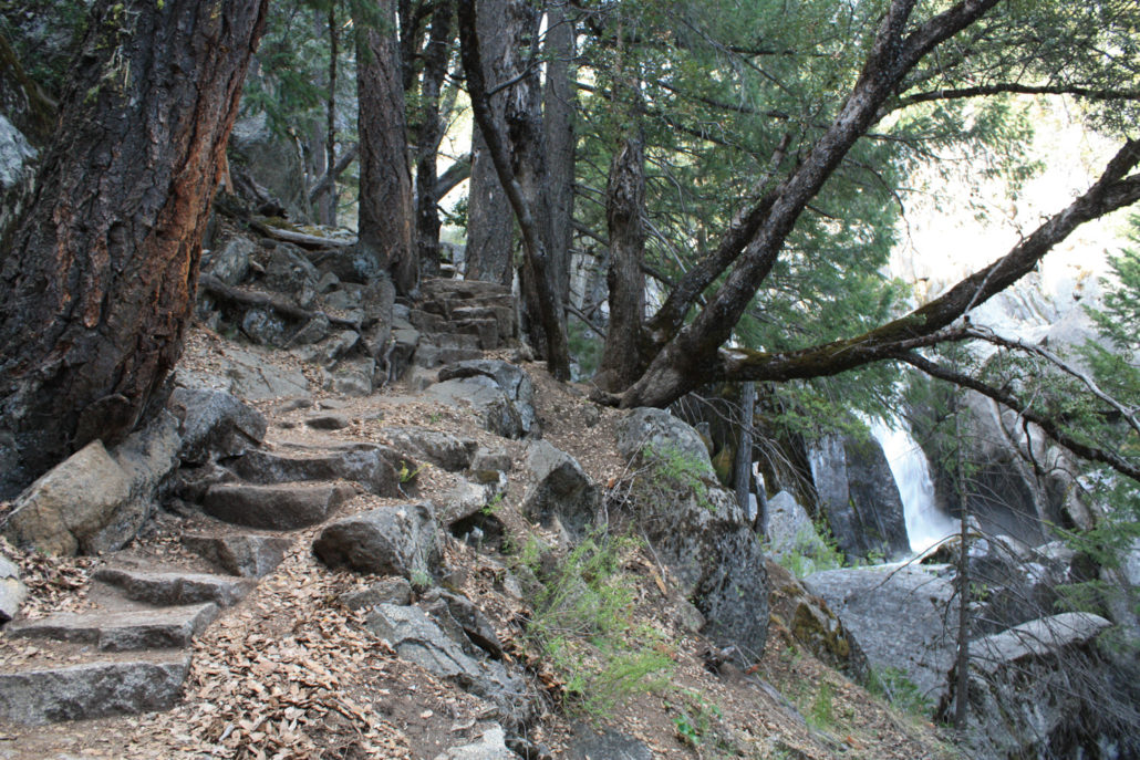
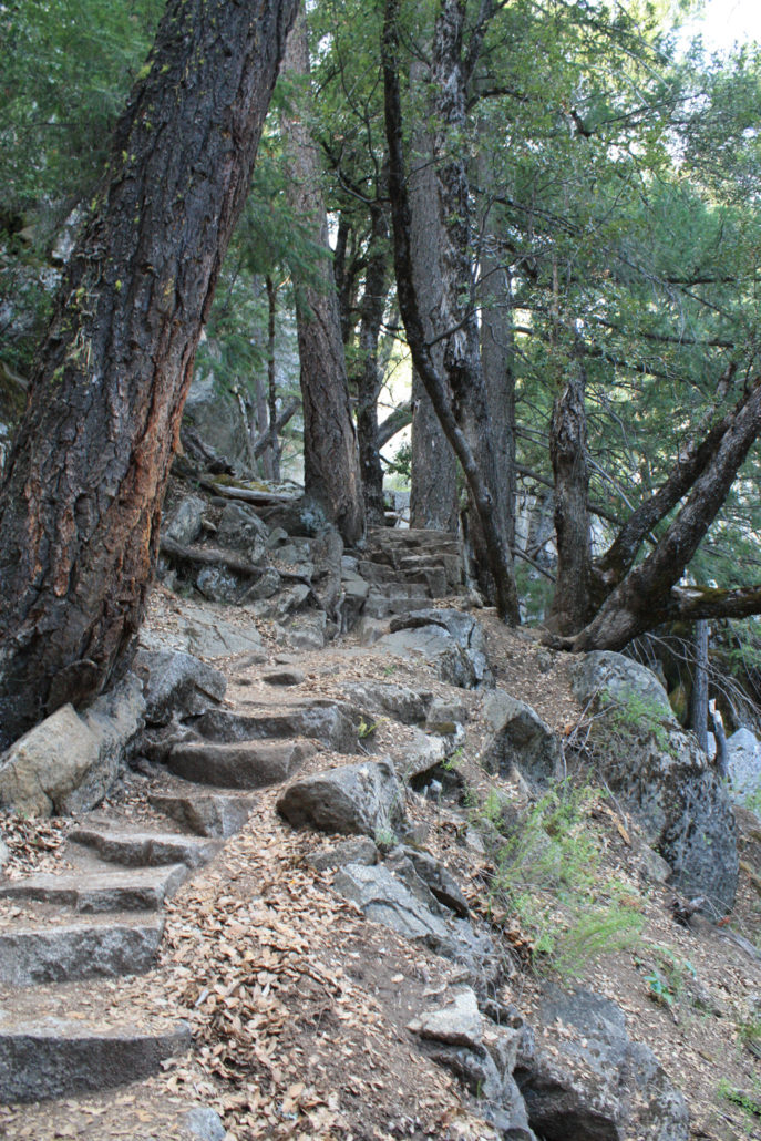
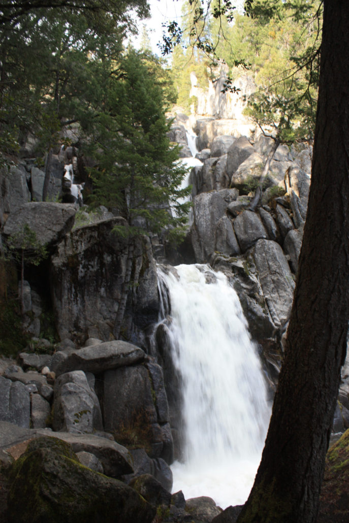
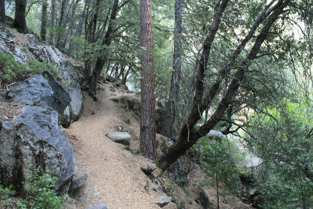
A 7.6 mile round trip to the top of the largest cascade of Chilnualna Falls. This low-elevation, steady uphill trail can get pretty warm in the sunny summer months, but you’ll have a few opportunities to cool off from the cascade mists or at swimming holes off the main trail. This falls along this hike are not quite as breathtaking as Vernal or Nevada Falls (but they’re still beautiful!), but this trail is much less crowded than anything in Yosemite Valley and you might even get a few miles to yourself when you’re hiking. This trail can continue to a pool near the top of the upper falls if you’re up for it, and can even be used for backpacking further into the Park. If you’re looking for waterfalls, Yosemite National Park is a good place to be. Not only does it have the tallest waterfall in North America, but pretty much everywhere you look in the Valley you can see a dramatic, breathtaking cascade. Unfortunately, you’ll also probably see a huge throng of tourists, especially at the trailheads closest to the Valley floor’s road system. If you’re in the mood for slightly smaller waterfalls and significantly smaller crowds, I recommend heading south from the Valley into the Wawona area for Chilnualna Falls. This was my fourth time in Yosemite since I moved out to California and only my first time hiking near the southern end of the park – and I’ve got to say I was pretty impressed. The trailhead begins near the end of Chilnualna Falls Road. There’s a dirt lot on the south side of the road. Follow the well-marked signs and look for the trailhead on the north side of the road just up a small hill. You’ll see a sign marking a foot trail and a stock trail – they’ll both meet up in a short distance, but unless you’re riding a mule, take the foot trail – it’s much prettier. The first 0.3 miles of the trail follow very closely next to the lower cascades and – to but it mildly – are gorgeous. The trail is steep, but beautifully made – stone steps meander their way across ledges and through forests, often in full view of
Trail Stats
12.4 km
715 m
1950 m
1234 m
—
Photos
Trail photo
No caption provided.
Trail photo
No caption provided.
Trail photo
No caption provided.
Trail photo
No caption provided.
Trail photo
No caption provided.
Trail photo
No caption provided.
Trail photo
No caption provided.
Trail photo
No caption provided.
Trail photo
No caption provided.
Trail photo
No caption provided.

Trail photo
No caption provided.
Trail photo
No caption provided.
Trail photo
No caption provided.
Trail photo
No caption provided.
Trail photo
No caption provided.
Trail photo
No caption provided.
Trail photo
No caption provided.
Trail photo
No caption provided.
Trail photo
No caption provided.
Trail photo
No caption provided.
Trail photo
No caption provided.
Trail photo
No caption provided.