7 min
Overview
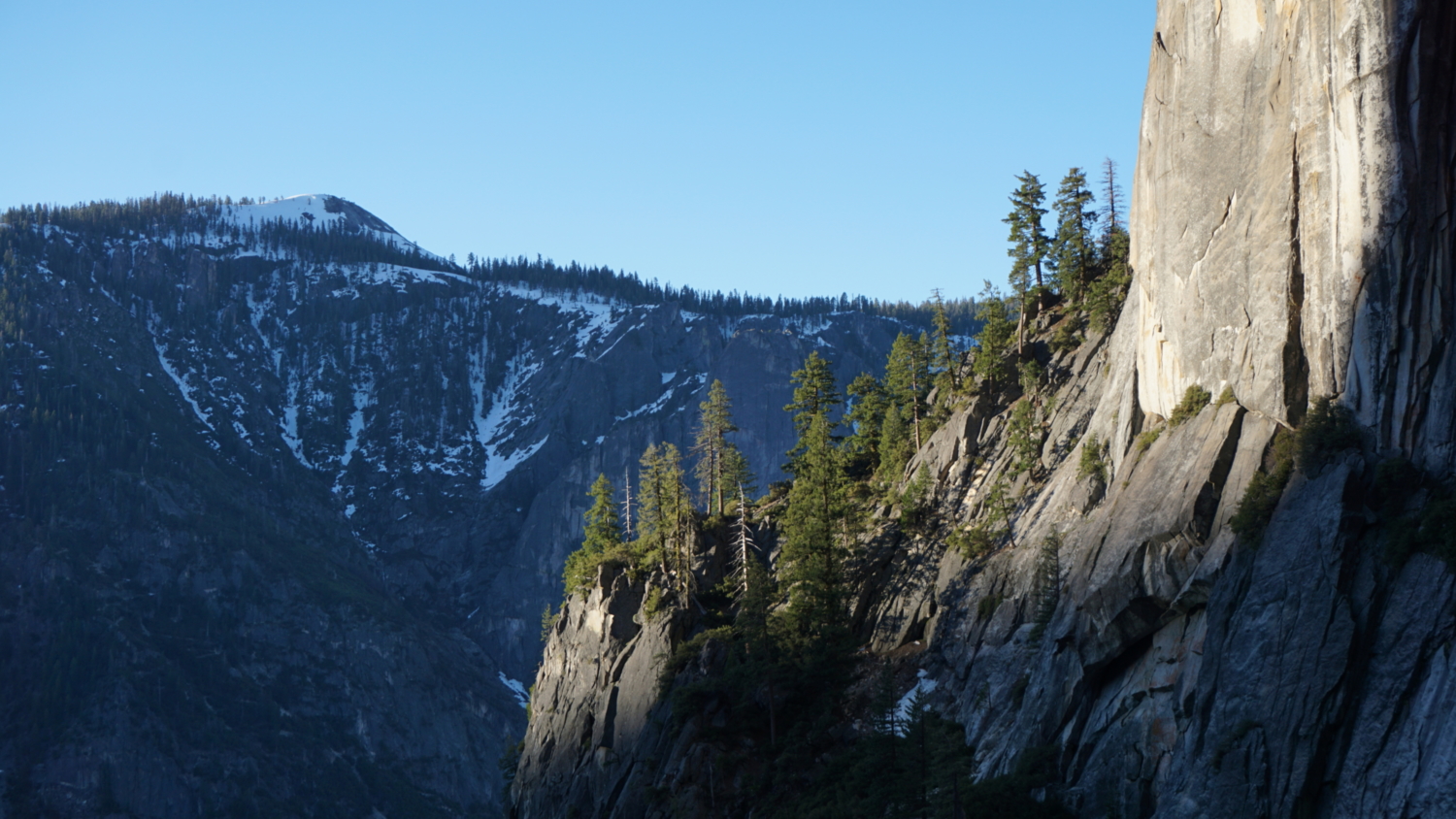
Confession time: I don’t like waterfalls. Yep. You heard that right. Whereas many hikers flock to waterfalls and feel some inexplicable (from my POV) connection to the things, I often find myself walking right on by to leave it to the crowds. Very rarely do I encounter a waterfall hike and think, “Well, I’ll be better off hiking this than some other hike.” But then again, most waterfalls aren’t Yosemite Falls. And fortunately, I can tell you that this hike more than lives up to the hype. It hasn’t changed my mind about waterfalls in general (they’re. . . . fine), but there is so much grandeur, scenery, and simple, jaw-dropping awe on this hike, that even without the waterfall, it’s a world-class experience. (But yeah, the waterfall is cool). If you don’t know already, Yosemite Falls is the tallest waterfall in Yosemite National Park, and it’s also the tallest waterfall in California. Worldwide, the falls clock in at #20. The falls are divided into three distinct sections – Upper, Middle, and Lower – as they spill over the sheer northern wall of Yosemite Valley into a series of cascades before the Lower Falls finally reach the valley floor. Within Yosemite Valley, they are second only to Half Dome in terms of blindingly obvious/immediately recognizable landmarks, and for many people the site of the falls and this hike in particular are in the top 5 as far as essential Yosemite hiking experiences go. Red Tape You can hike this route as a challenging backpacking trip. In order to do so, you’ll need to secure a wilderness permit from the Yosemite Valley Wilderness Center. Within the shoulder seasons (Spring and Fall), you may be able to pick up a walk-up permit from the center. However, during the busy late spring and summer season, your best hope is through reservations. You can reserve your permit by filling out the Wilderness Permit Request found on the Yosemite Conservancy’s website. The Conservancy handles the reservation process, and when they approve your permit, they send a confirmation email. You then
Trail Stats
12.8 km
1066 m
2126 m
1216 m
—
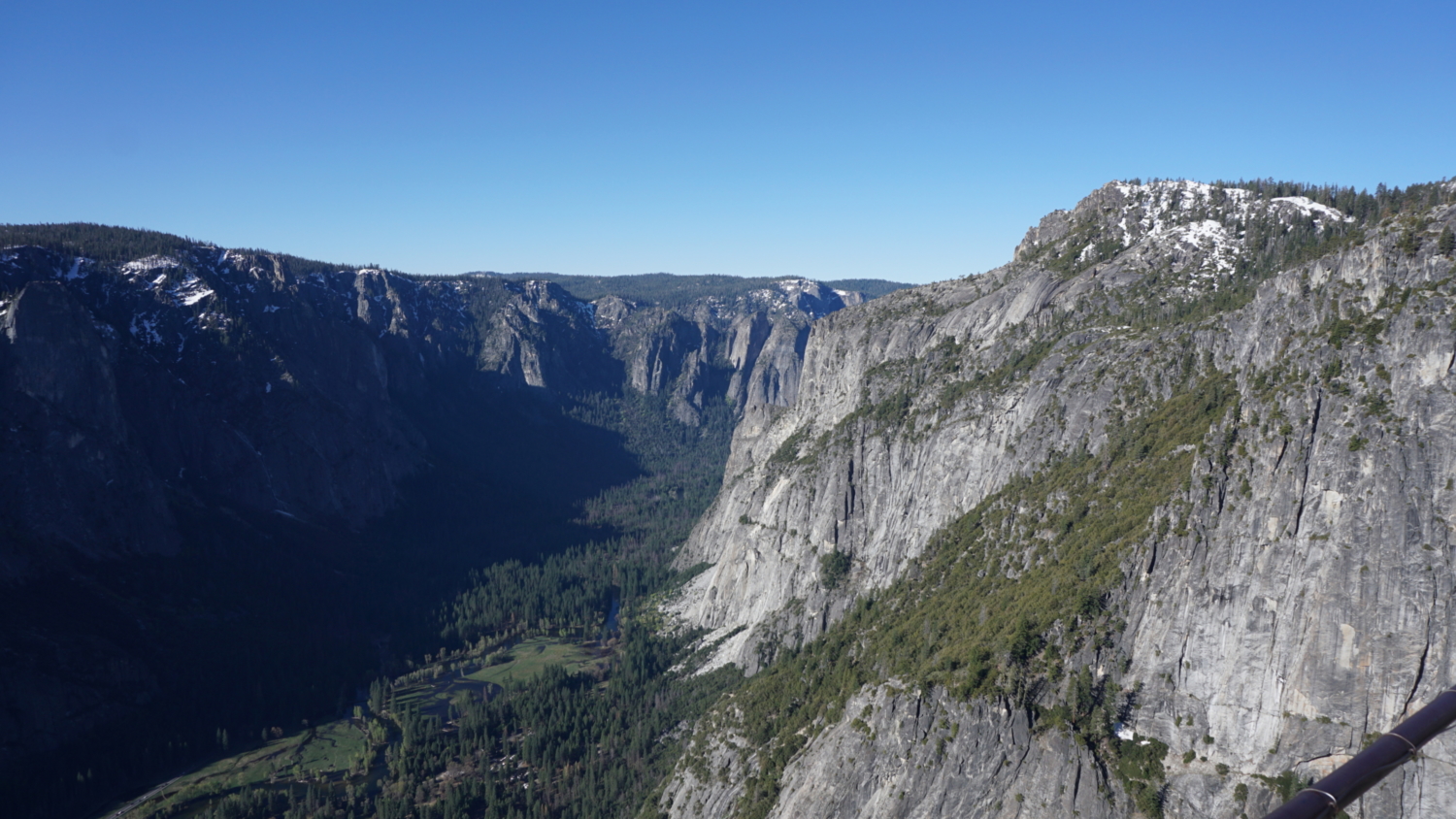
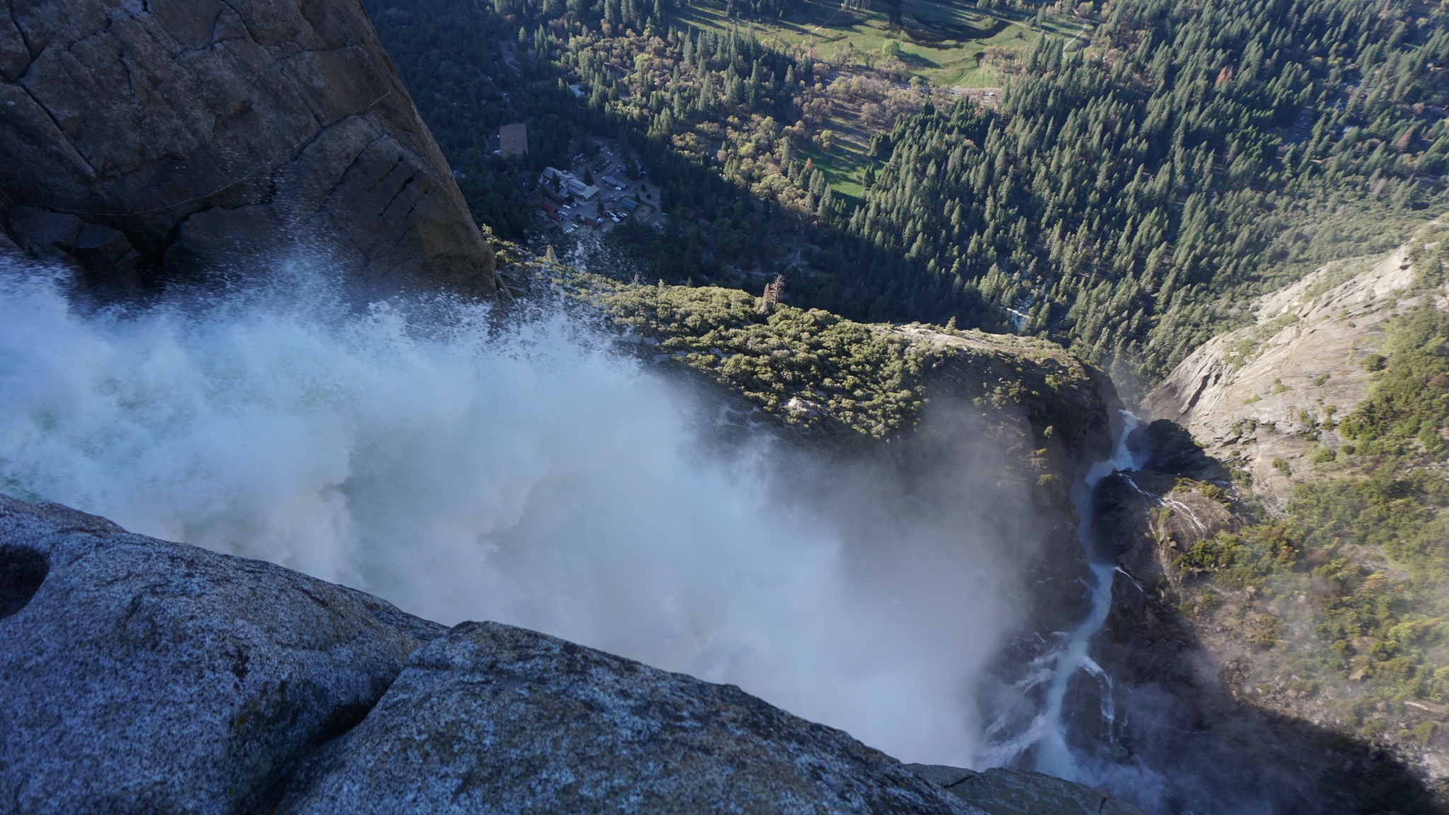
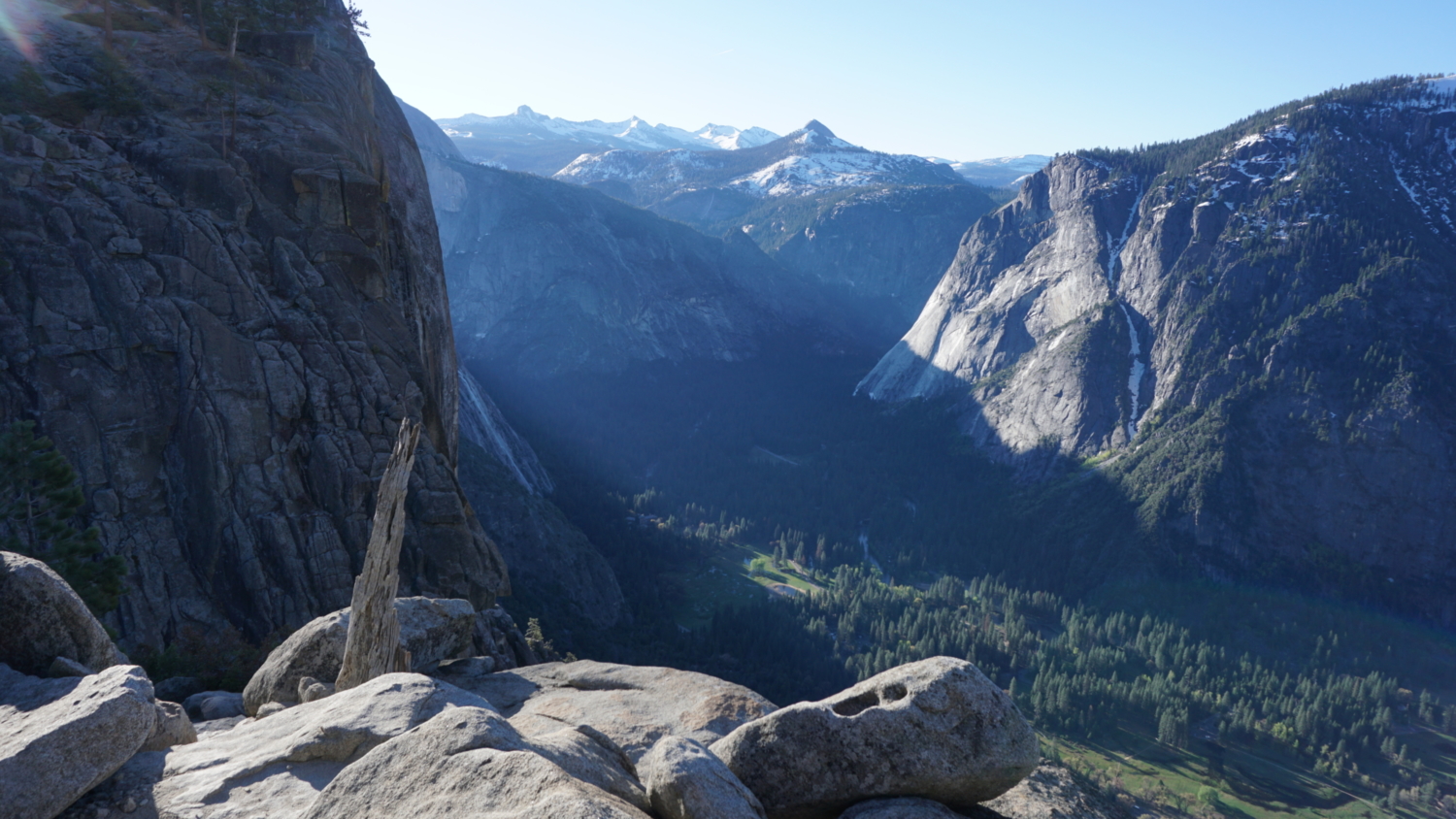
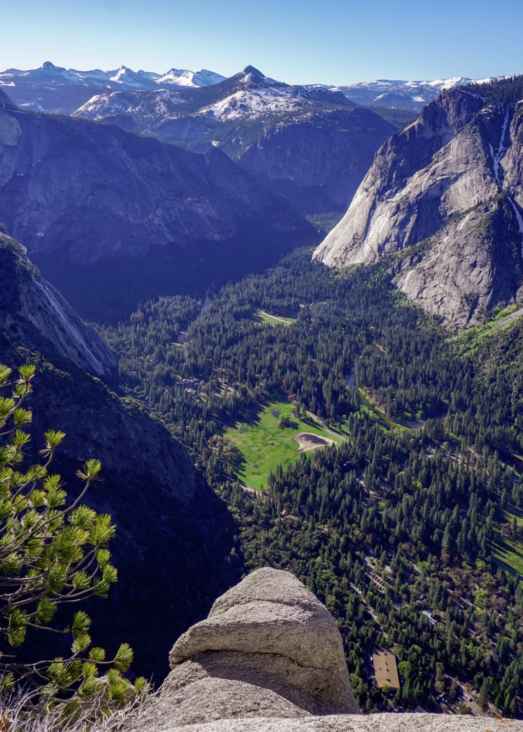
Photos

Trail photo
No caption provided.

Trail photo
No caption provided.
Trail photo
No caption provided.
Trail photo
No caption provided.

Trail photo
No caption provided.
Trail photo
No caption provided.

Trail photo
No caption provided.

Trail photo
No caption provided.

Trail photo
No caption provided.
Trail photo
No caption provided.
Trail photo
No caption provided.

Trail photo
No caption provided.