5 min
Overview
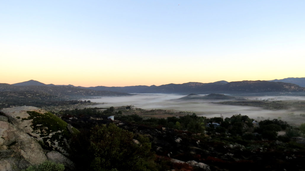
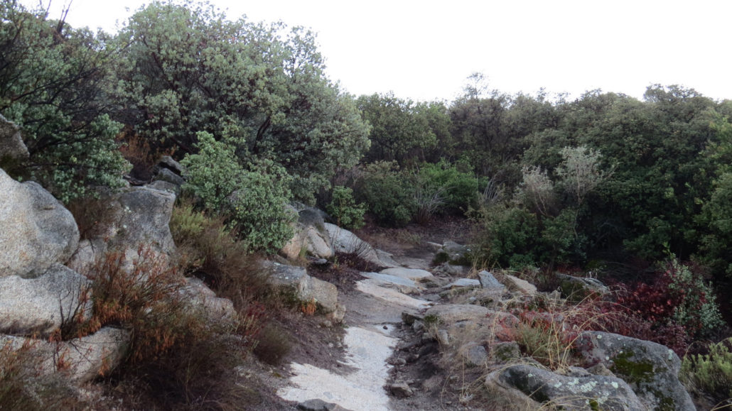
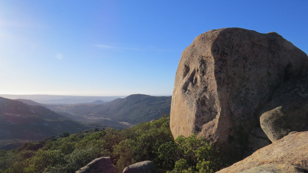
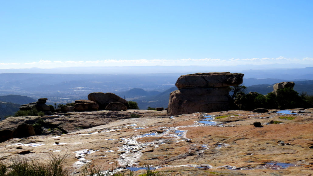
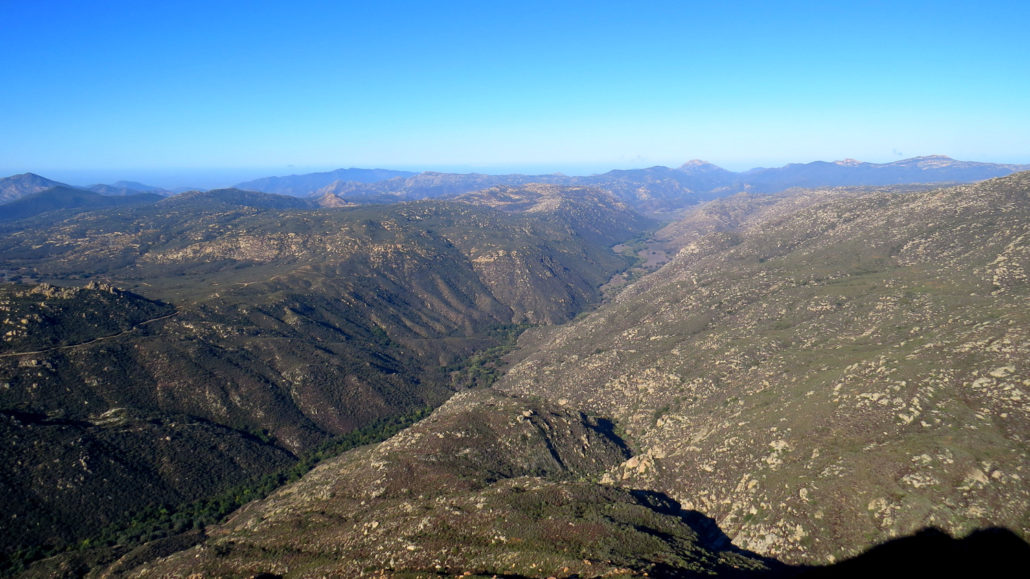
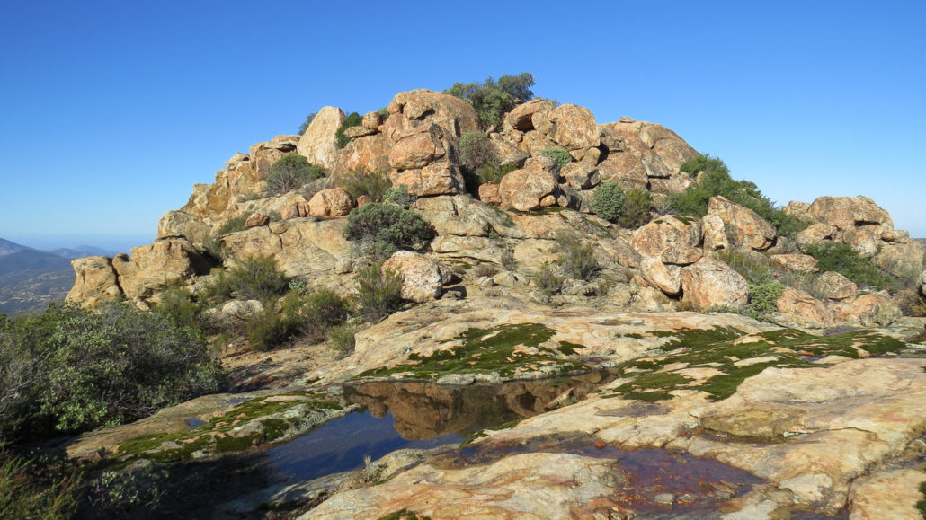
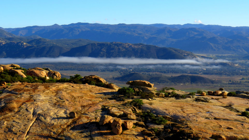
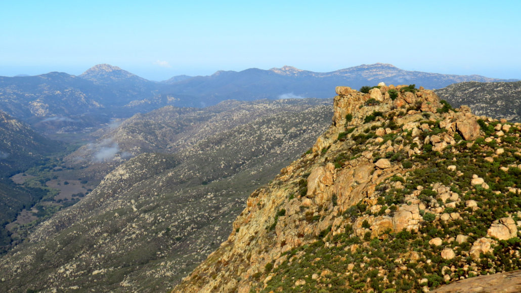
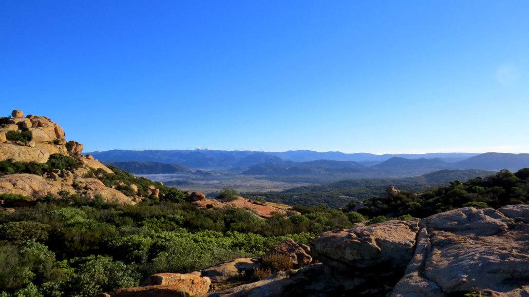
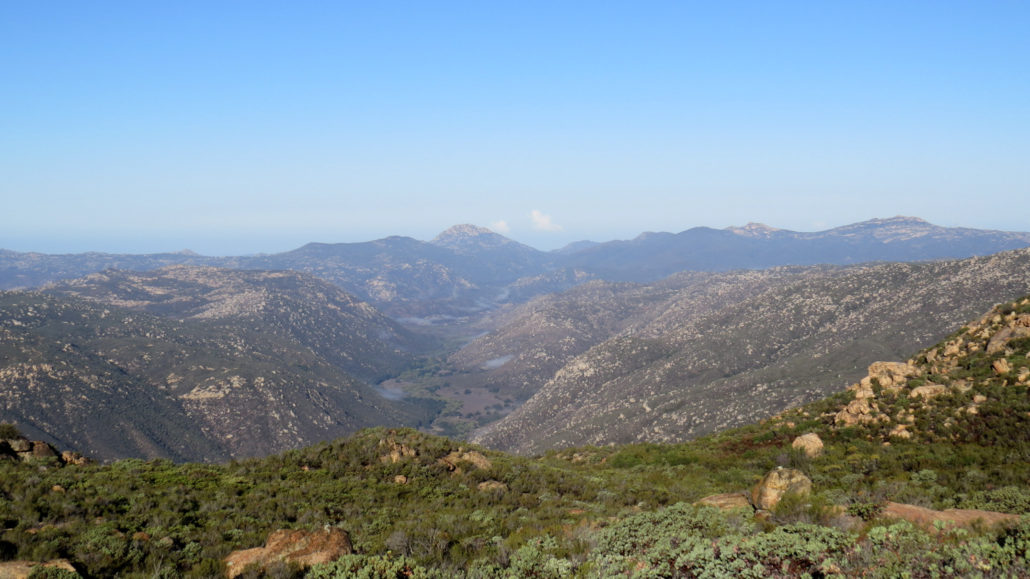
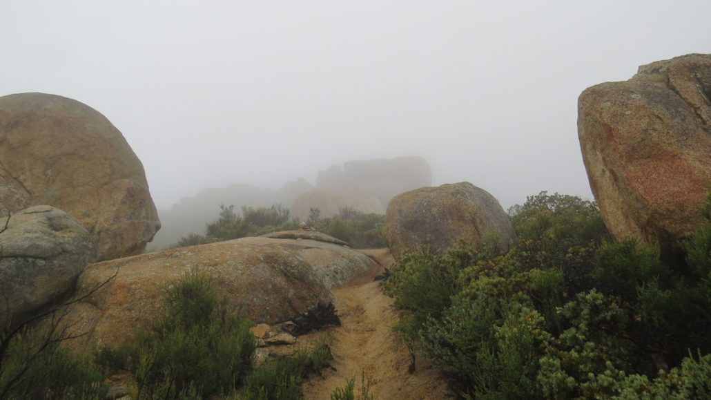
If you have spent any amount of time in the San Diego County interior, chances are you have gotten up close and personal with the region’s abundance of igneous rocks which come in a variety of forms like granite, granodiorite, and gabbro. These igneous rocks originate from a formation known as the Peninsular Range Batholith, an enormous mass of rock formed around 100 million years ago. Batholiths, which form many of the major geographic features in California including the Sierra Nevada Mountains, form when two tectonic plates collide. In this specific instance, one plate (the Pacific plate) slides beneath a dominant plate (the North American plate). In a process known as subduction, the plate that slides underneath sinks into the mantle and melts. As the plates grind against each other, large masses of molten rock will rise up into the crust like bubbles. As these “bubbles” cool, they form what’s called a pluton, or a mass of igneous rock. Simply put, a batholith is a massive pluton, and the Peninsular Range Batholith forms much of the county’s mountainous interior from Interstate 15 to Anza-Borrego Desert State Park. Fast forward several tens of millions of years to when Pacific Plate stopped sinking under the North American Plate and instead started sliding against it from south to north; the principal boundary of this activity today is the San Andreas Fault and lesser associate faults such as the San Jacinto and Elsinore Faults. Such bumping and grinding lifted the batholith up to and through the surface, exposing the igneous rock and forming our mountain ranges. In a number of places, this harder igneous rock extruded from softer surface rocks, which eroded more quickly to reveal many of the County’s peaks, mesas, and ridgelines. This brings us to Morena Butte. The butte is a large mass of igneous rock bounded by Morena Valley in the north, Hauser Canyon to the south, and smaller tributary canyons east and west. Massive granitic slabs, boulders, and outcrops stud the summit of the butte, providing some fan
Trail Stats
13.9 km
457 m
1183 m
916 m
—
Photos
Trail photo
No caption provided.
Trail photo
No caption provided.
Trail photo
No caption provided.
Trail photo
No caption provided.
Trail photo
No caption provided.
Trail photo
No caption provided.
Trail photo
No caption provided.
Trail photo
No caption provided.
Trail photo
No caption provided.
Trail photo
No caption provided.
Trail photo
No caption provided.
Trail photo
No caption provided.
Trail photo
No caption provided.

Trail photo
No caption provided.
Trail photo
No caption provided.
Trail photo
No caption provided.