6 min
Overview
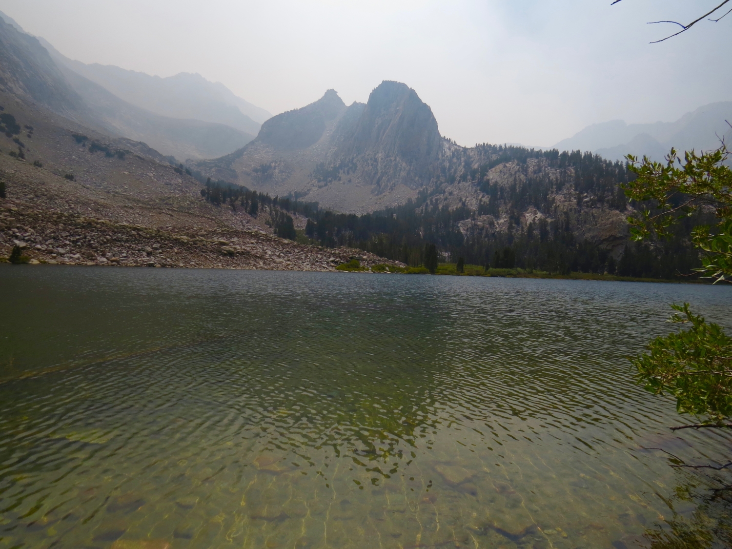
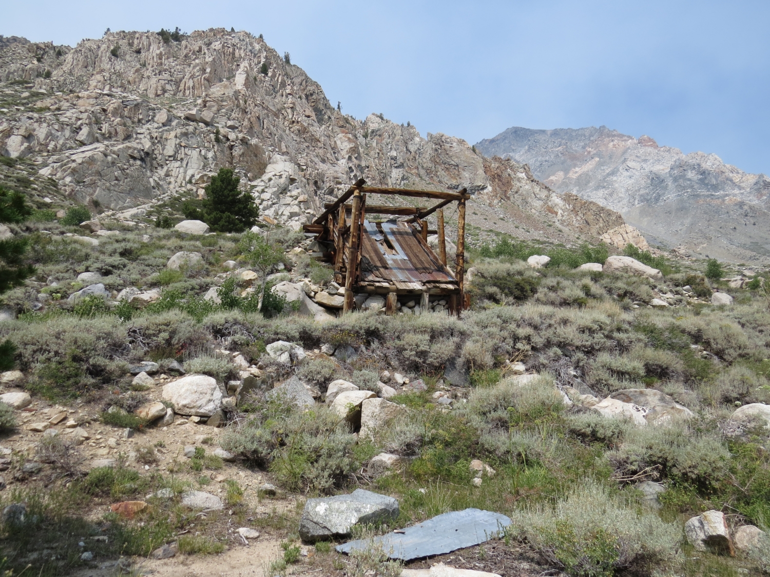
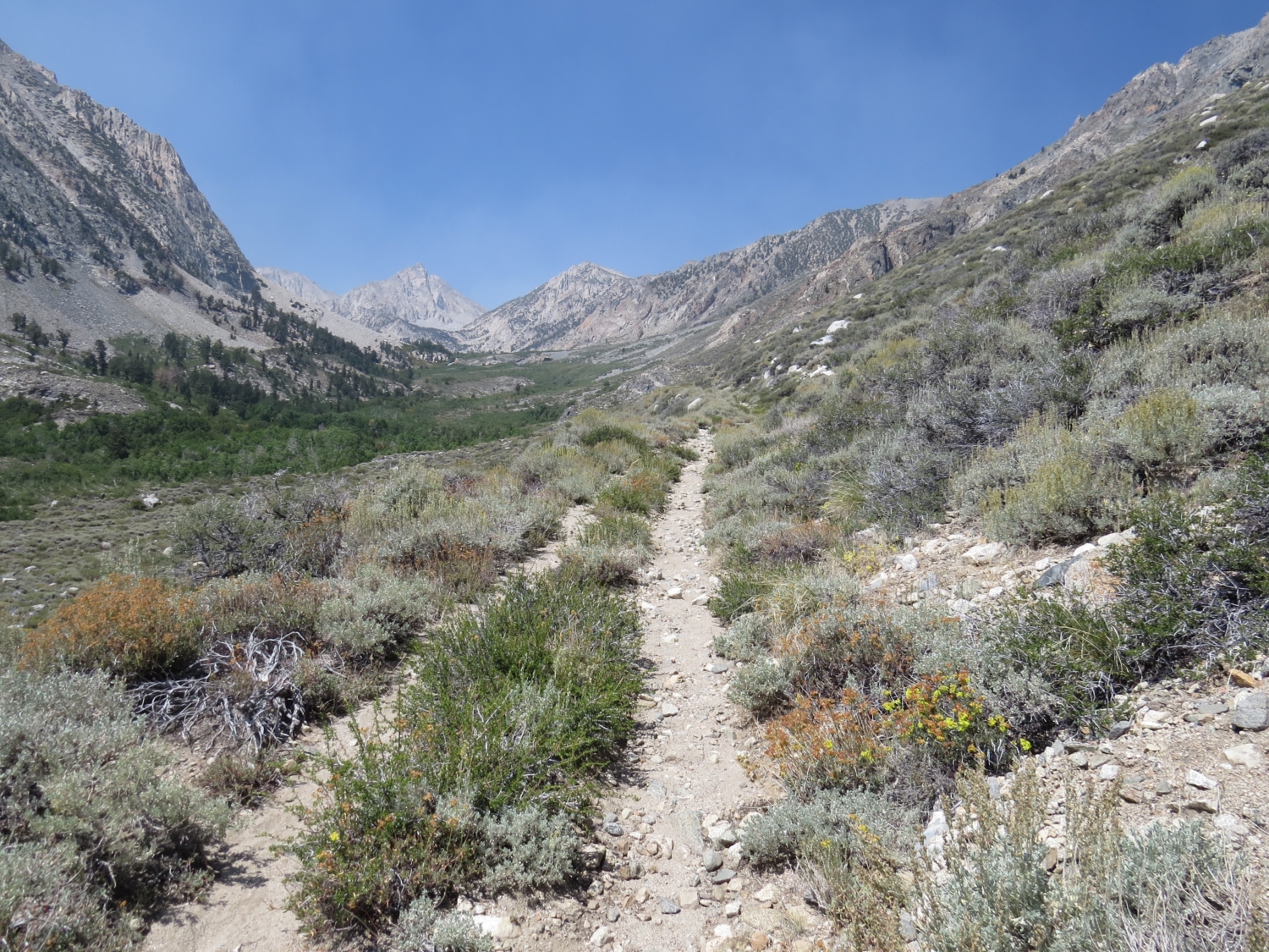
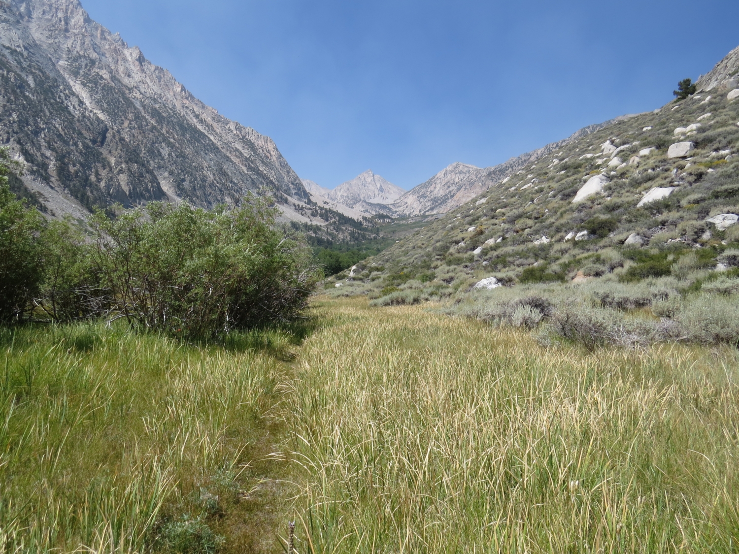
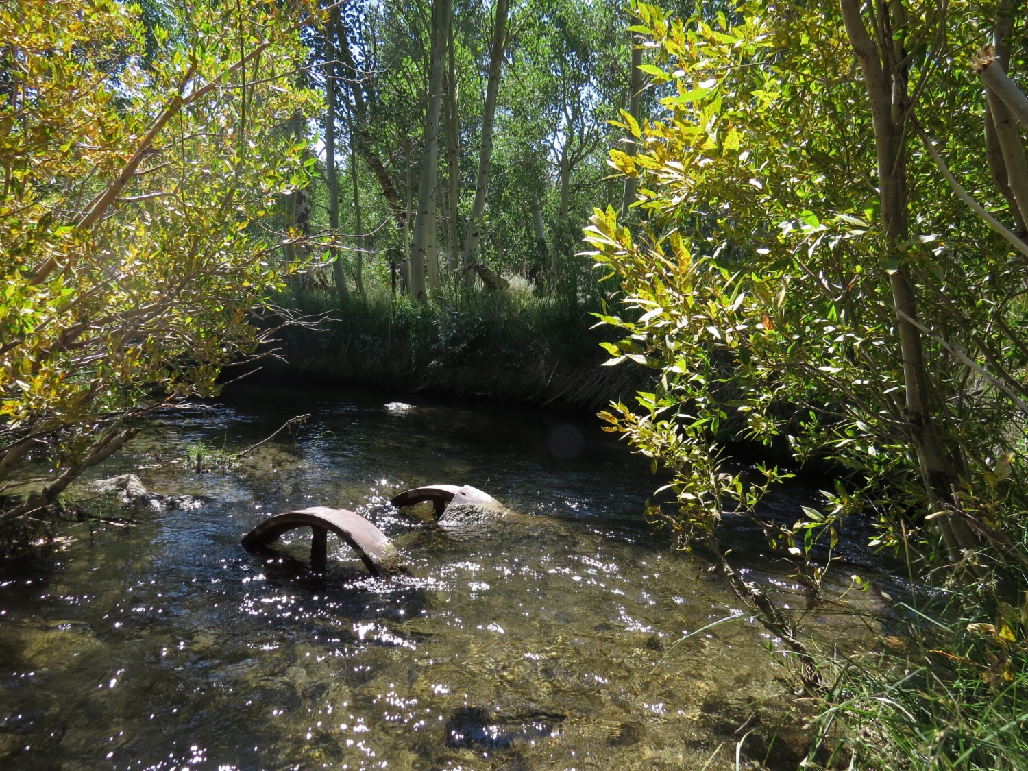
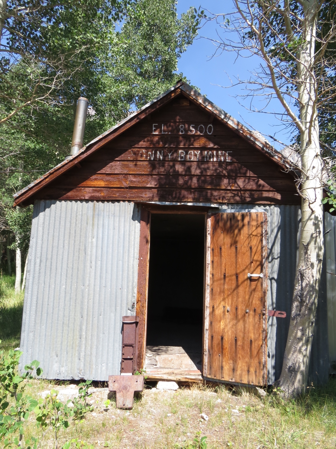
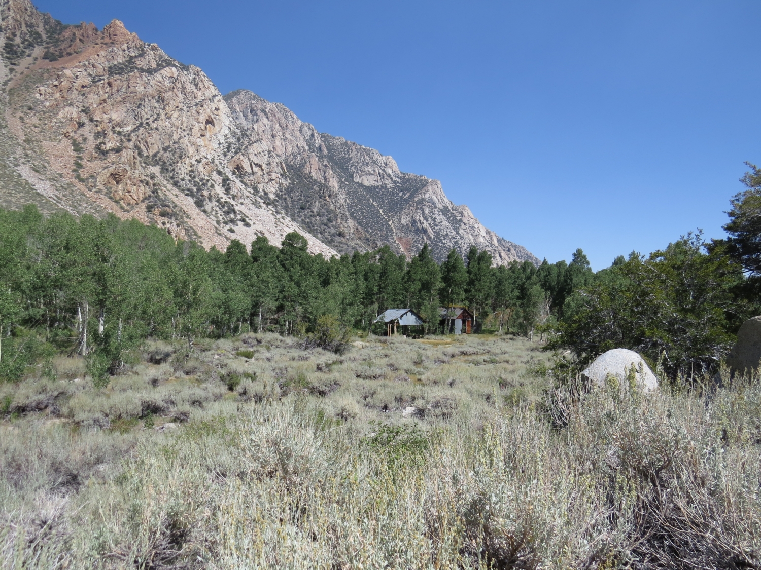
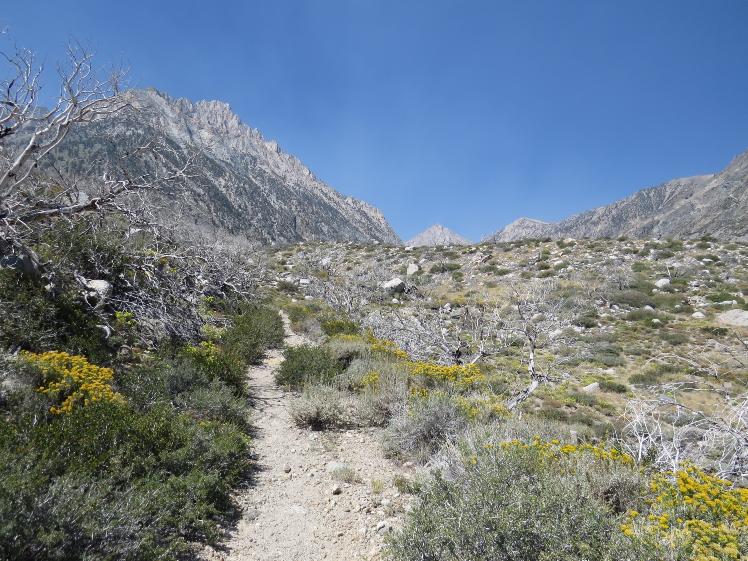
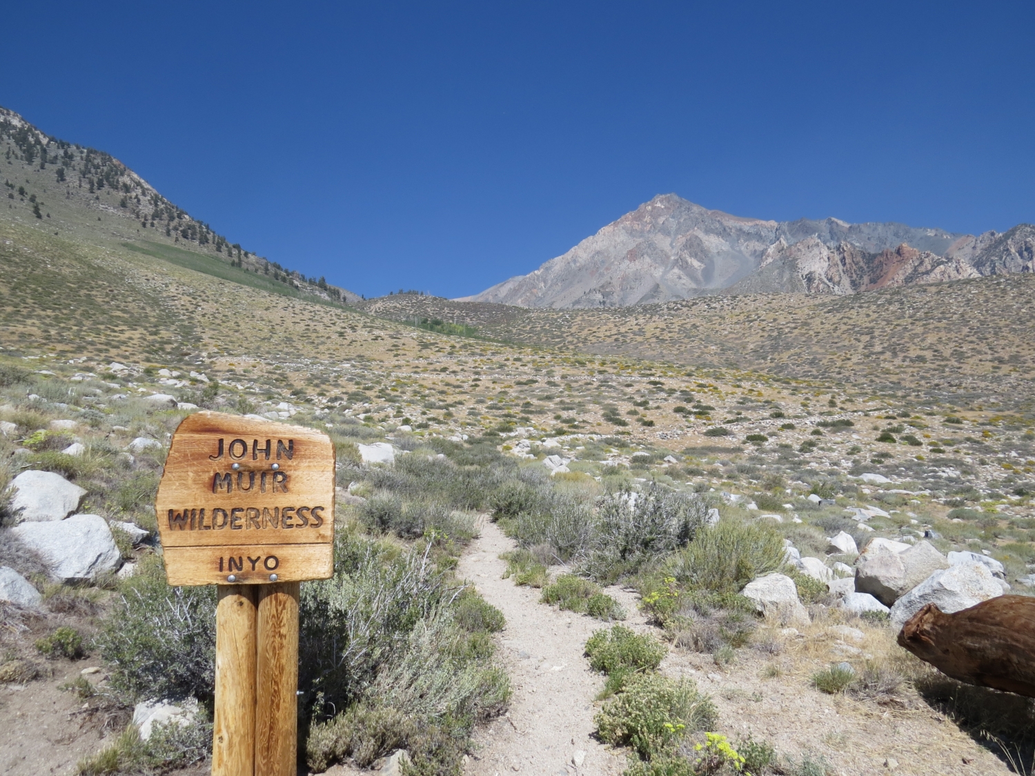
The Horton Lakes hike shows off the shifting landscape of the ecologically diverse Eastern Sierra–dusty, boulder-strewn fields of desert sage lead to alpine elevations with verdant meadows, creeks and remote, icy snow-melt lakes. The route follows an old mining road–hacked out of the hills below looming Mount Tom. Two picturesque mining camps are also tucked away along the lonely route, one charmingly sequestered next to a rippling creek and the other perched high in a dramatic hanging valley. The trek starts at a locked gate meant to keep vehicles from driving the old mining road that serves as a trail. The road was originally built for the Hanging Valley Mine, a defunct tungsten mine on the side of Mount Tom above Lower Horton Lake. The trail zig zags in long switchbacks, an exposed slog across a glacial moraine that is dry, brittle and rocky. This region in the foothills of the Eastern Sierra Nevada is called Buttermilk Country. Local lore has it that it got its name from goat milk deliveries, turned to buttermilk as they traveled through the knobby, exposed hills. The rock here is eroded granite, standing out in piles and hoodoos, or thin spires. The obvious peak in the distance is Mount Tom, elevation 13,652 feet; your goal is its southern flank. The trail switchbacks across exposed terrain into the John Muir Wilderness. The well-defined mining road climbs toward the Sierra Nevada wall. About one mile in you will pass a stand of aspens as the trail continues to climb. After a slight drop, look for a spur road on the right at 1.5 miles. This is the short spur to the Sonny Boy Mine. This is a great place to stop and explore. Desert and mountain micro-climates meet here. The scenic little camp stands at the far end of a sage-filled expanse ringed by aspens. Horton Creek ripples behind the camp’s two structures. Sage and aspens with surround the Sonny Boy Mine camp. The beautifully weathered Sonny Boy Mine cabin. Horton Creek with rusting wagon wheels. Back on the main trail, you’ll get some relief from the e
Trail Stats
14.3 km
593 m
3058 m
2457 m
—
Photos
No Title
No Title

No Title
No Title
No Title
No Title
No Title
No Title
No Title
No Title
No Title
No Title
No Title
No Title
No Title
No Title
No Title
No Title
No Title
No Title