5 min
Overview
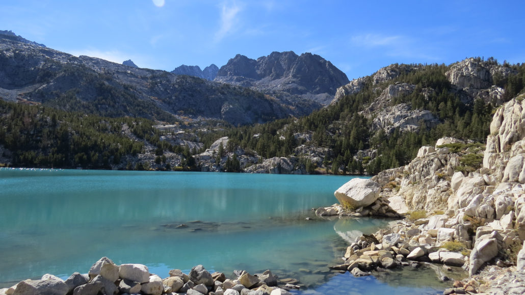
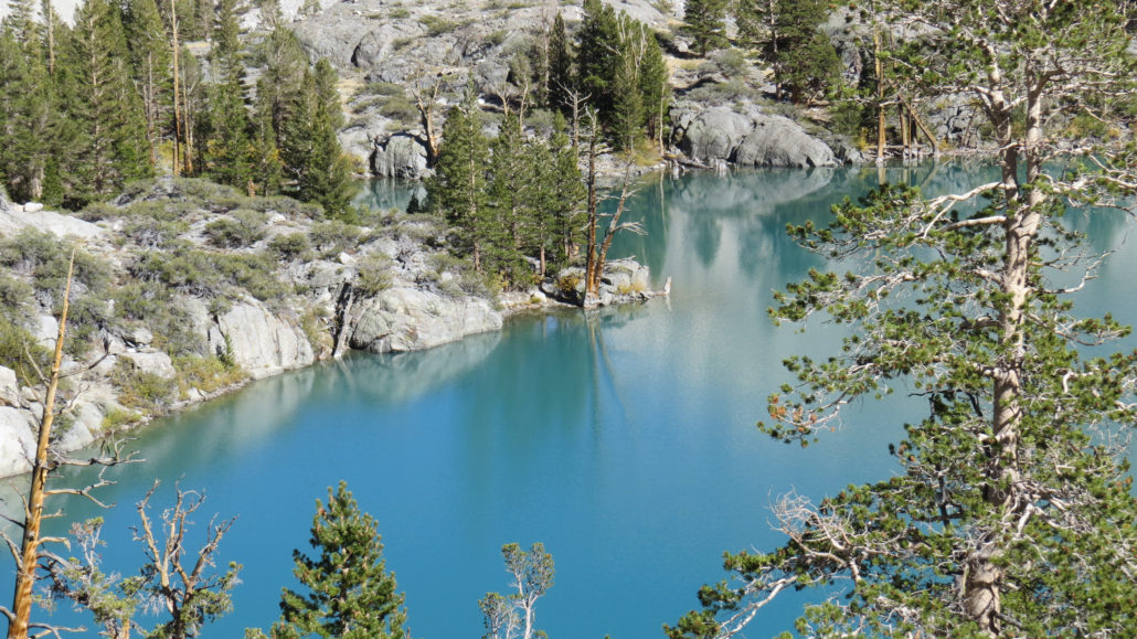
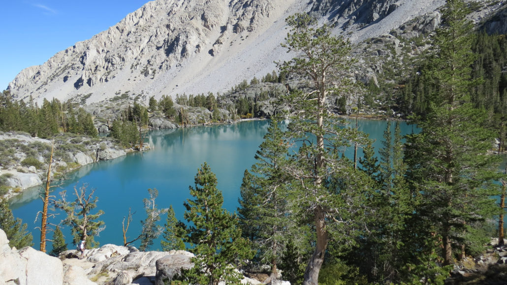
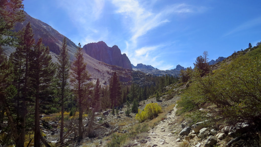
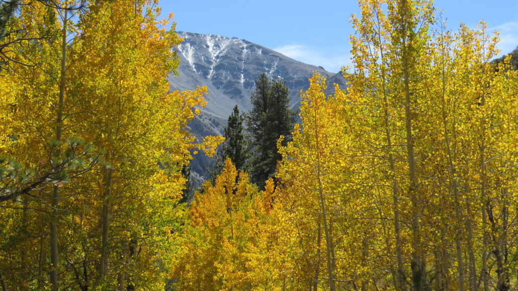
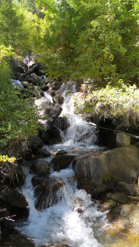
If you want to glimpse fall color, but you are also looking for an epic adventure up glacially carved canyons, past cascading waterfalls, through dense thickets of aspen and pine, and into an alpine lake basin full of shimmering, aquamarine lakes fed directly by one of the largest glaciers in the Sierra Nevada Mountains, then the North Fork of Big Pine Creek will be your dream come true. This moderately challenging 9.2 mile trip will deliver all of those things in one of the most satisfying day hikes you are likely to find in the Eastern Sierra. Both forks of Big Pine Creek Canyon tumble down from glacial sources on the northeast side of the Palisades, a group of 14,000’+ peaks on the Sierra Crest. The north faces of these peaks remain sufficiently cold and shaded to hold onto the remnants of what was once a much more expansive system of glaciers. These glaciers, like many other glaciers around the world, are currently retreating as the climate warms. Palisade Glacier can be reached using a continuation of this route, which would add another 5 miles and 2,000’+ of climbing, approximately. If you wish to visit Palisade Glacier, I recommend overnight camping at one of the many lakes in the basin below, as 19 miles and 5,000’ is a very ambitious day hike. The North Fork of Big Pine Creek Canyon is a very popular spot for backpacking. The aforementioned scenery plus the variety of spectacular lakes are a magnet for backcountry campers and fishermen alike. As this hike occurs largely within the John Muir Wilderness, the usual permit requirements and leave-no-trace principles apply. If you wish to backpack here, you will want to reserve your permit through Inyo National Forest and obtain your reservations as early as possible. Permits can be reserved up to six months in advance. The trail begins at a trailhead adjacent to Glacier Lodge at the end of Glacier Lodge Road. There is another trailhead slightly down the road before the lodge, but this alternative trailhead accesses the canyon via a long hike over exposed te
Trail Stats
15.3 km
914 m
3072 m
2377 m
—
Photos

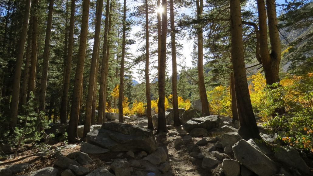
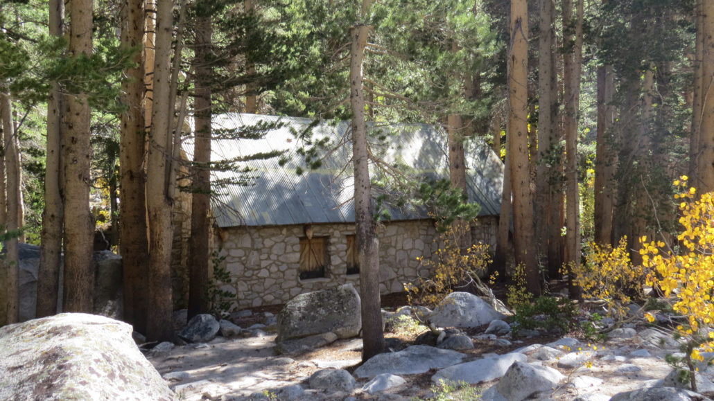
Trail photo
No caption provided.
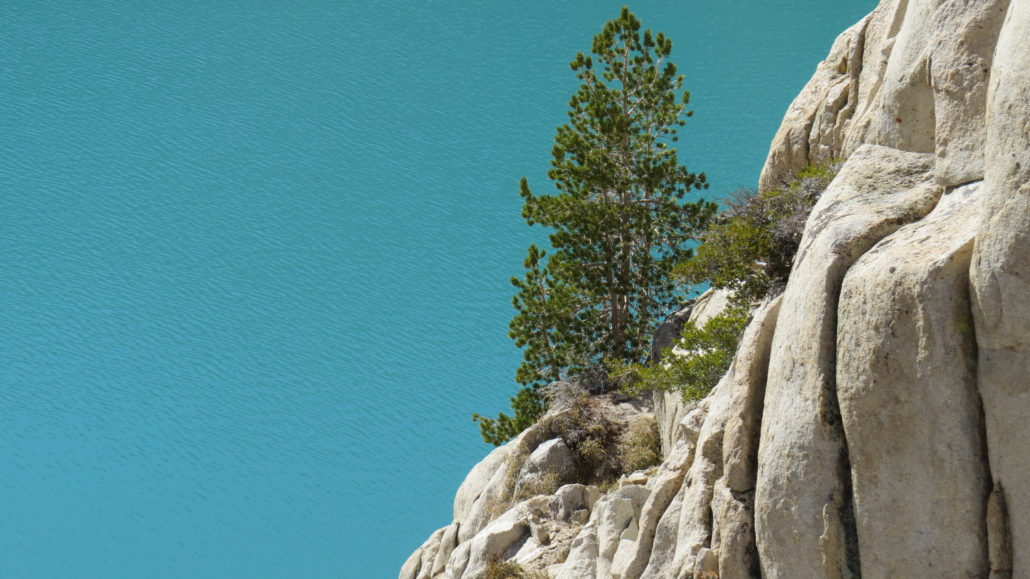
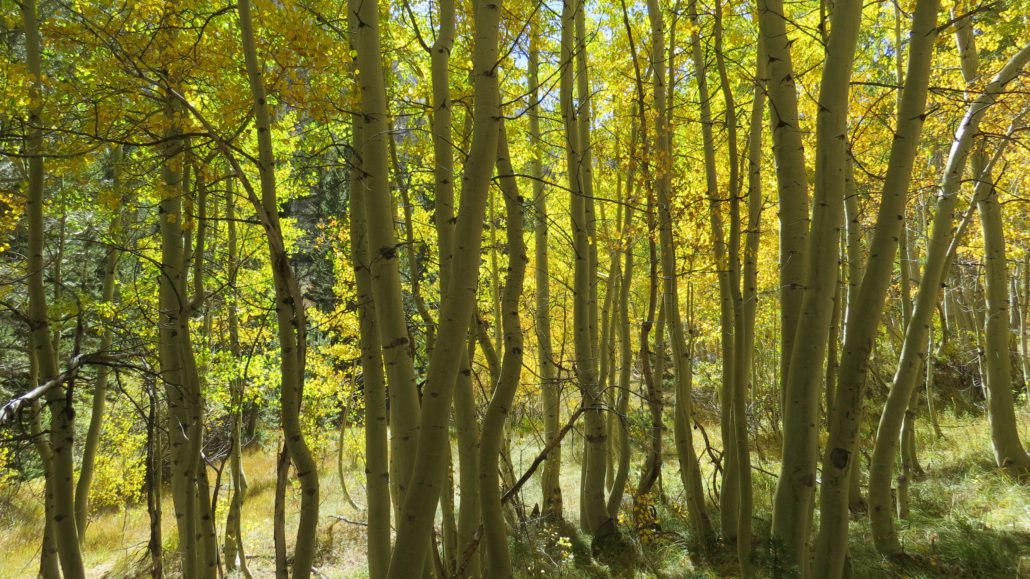
Trail photo
No caption provided.
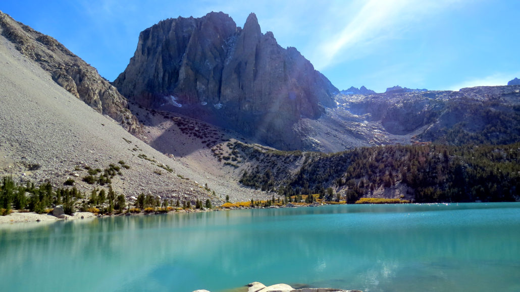
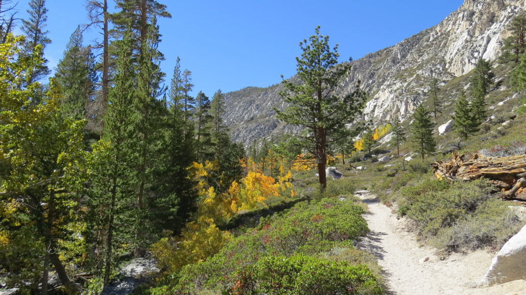
Trail photo
No caption provided.
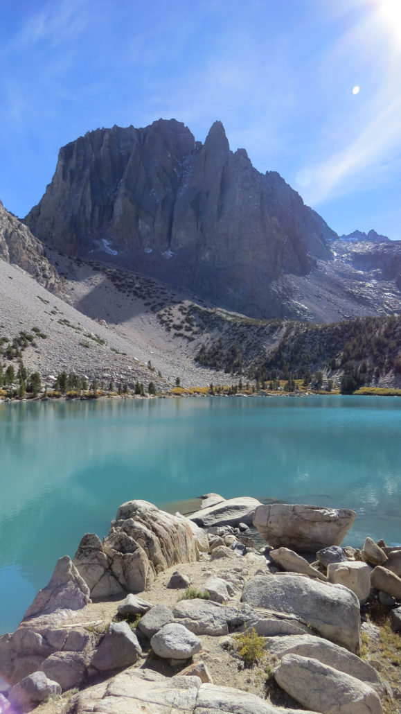
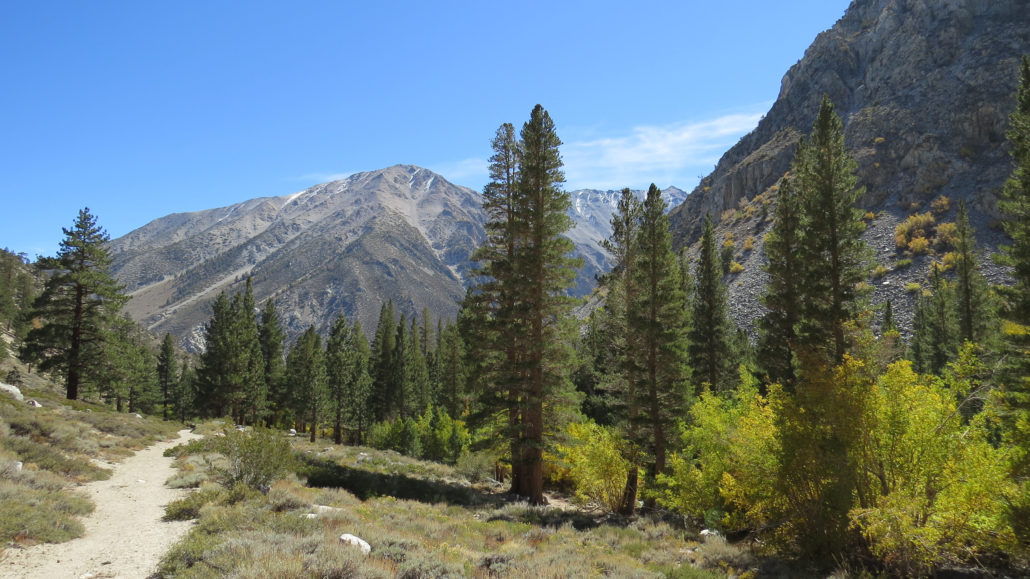
Trail photo
No caption provided.
Trail photo
No caption provided.
Trail photo
No caption provided.
Trail photo
No caption provided.
Trail photo
No caption provided.
Trail photo
No caption provided.
Trail photo
No caption provided.
Trail photo
No caption provided.
Trail photo
No caption provided.
Trail photo
No caption provided.
Trail photo
No caption provided.
Trail photo
No caption provided.