6 min
Overview
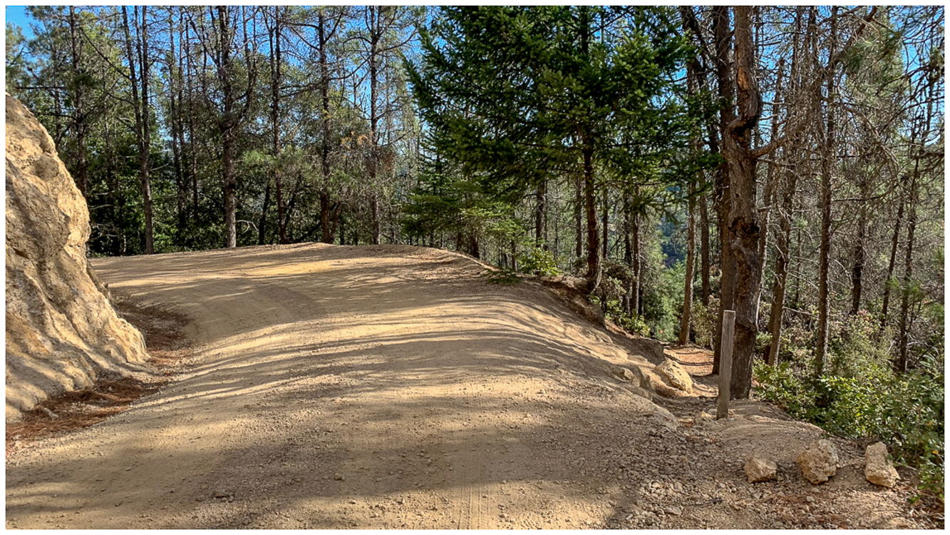
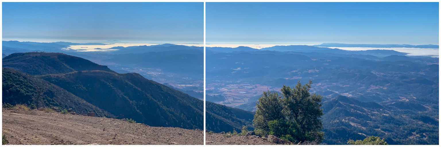
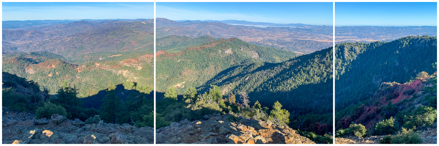
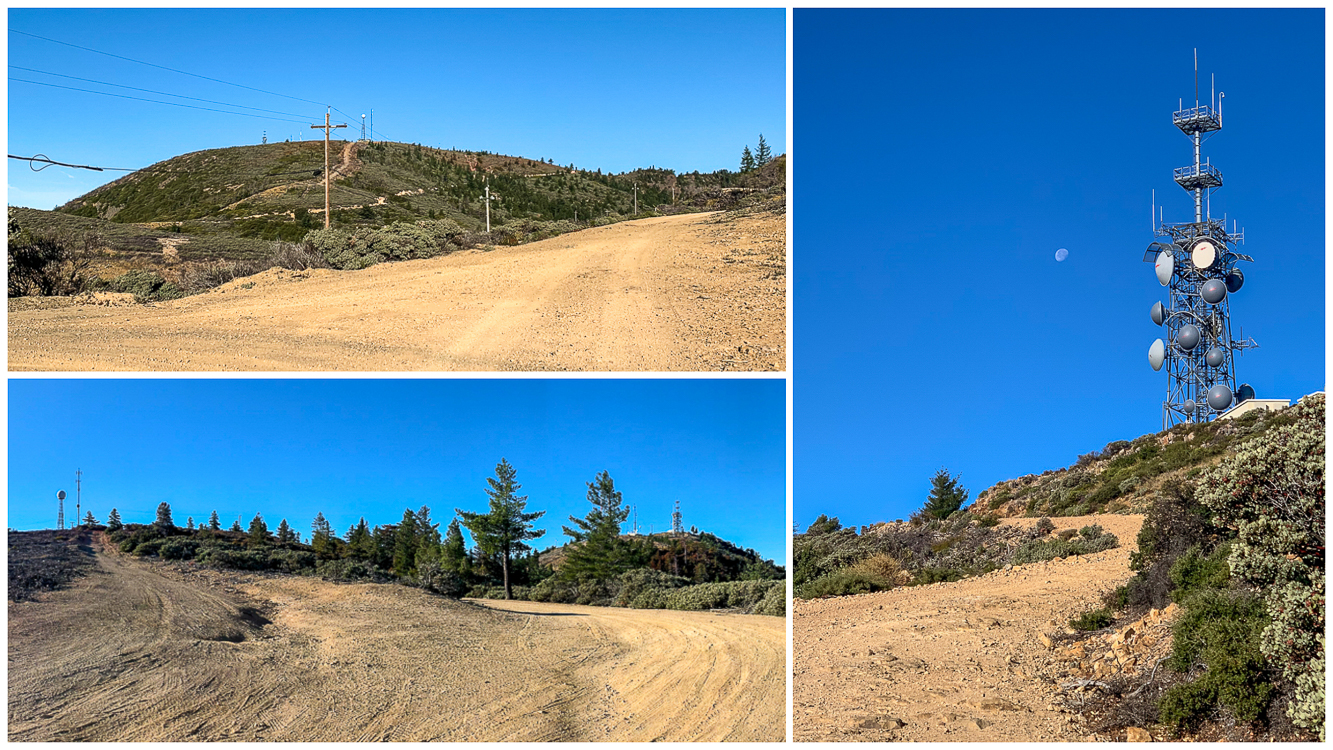
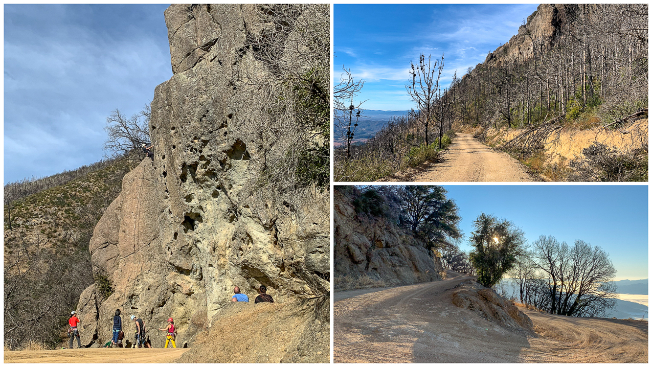
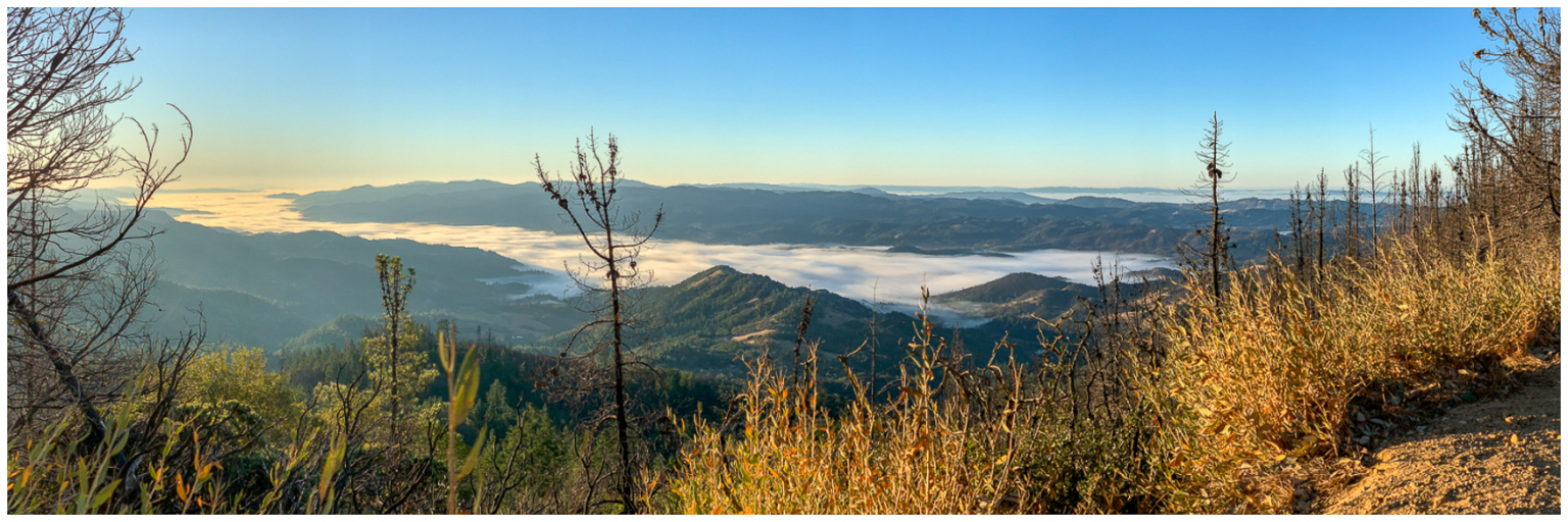
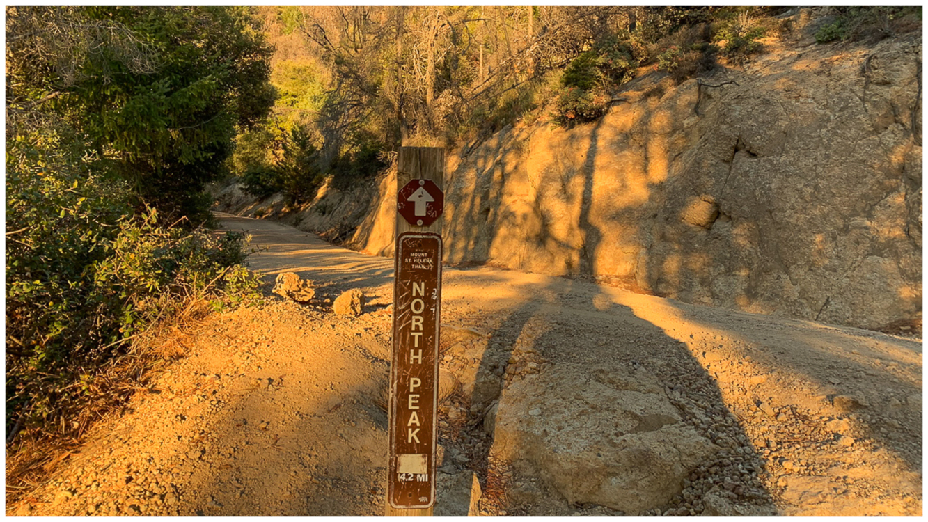
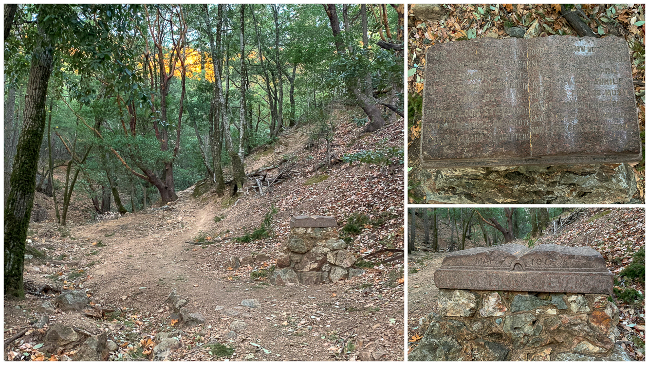
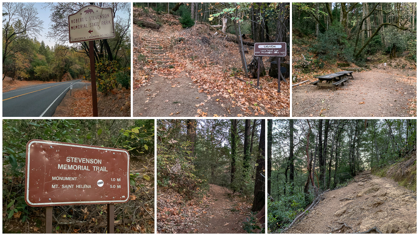
Mount Saint Helena, elevation 4343 feet, is a moderately challenging hike in Robert Louis Stevenson State Park, north of Calistoga. The winding, sometimes steep route overlooks Napa Valley vineyards, deep river valleys, and mountain ridgelines. Highlights on this hike are the Robert Louis Stevenson monument, Bubble Rock, and stupendous Napa, Sonoma, and Lake County views. Season-wise, you will see more moderate temperatures in fall and spring than in the sweltering summers. In winter, the park typically gets at least a dusting of snow. A Mysterious Name Although there are many theories, the true story of how Mount Saint Helena got her name is a mystery. One theory in the book California Place Names by Edwin Gudde is that Russians aboard a ship called the Saint Helena spotted the peak off the coast and named it in honor of Saint Helena, mother of Russian Emperor Constantine the Great. Another theory links the name to Princess Helen Gargarin, who was married to Alexander Rotchev, the commander of a Russian settlement along the Sonoma coast at the time of the first ascent. Mount Diablo rises over Napa Valley as you climb higher on the fire road to the summit. Mount Saint Helena Trail Begin your hike at the staircase beside the Caution sign on the west (left) side of Highway 29. The crumbly trail passes a picnic area and the Stevenson Memorial Trail sign. The trail transitions to a smooth single track under a tanoak, Douglas fir, and California bay forest. After ascending rocky switchbacks, reach the Robert Louis Stevenson monument at 0.75 miles. Stevenson was a Scottish author in the 19th century who wrote Treasure Island and Strange Case of Dr. Jekyll and Mr. Hyde. In 1880, Stevenson and his wife, Fanny, honeymooned in an abandoned bunkhouse used by miners hunting for silver at the Silverado silver mine in the 1870s. While there, Stevenson also spent time organizing a memoir called The Silverado Squatters. Because of this historical significance, the park was designated National Historic Landmark Site 710 in 195
Trail Stats
16.8 km
701 m
1313 m
673 m
—
Photos
Trail photo
No caption provided.
Trail photo
No caption provided.
Trail photo
No caption provided.

Trail photo
No caption provided.
Trail photo
No caption provided.
Trail photo
No caption provided.
Trail photo
No caption provided.
Trail photo
No caption provided.
Trail photo
No caption provided.
Trail photo
No caption provided.

Trail photo
No caption provided.