7 min
Overview
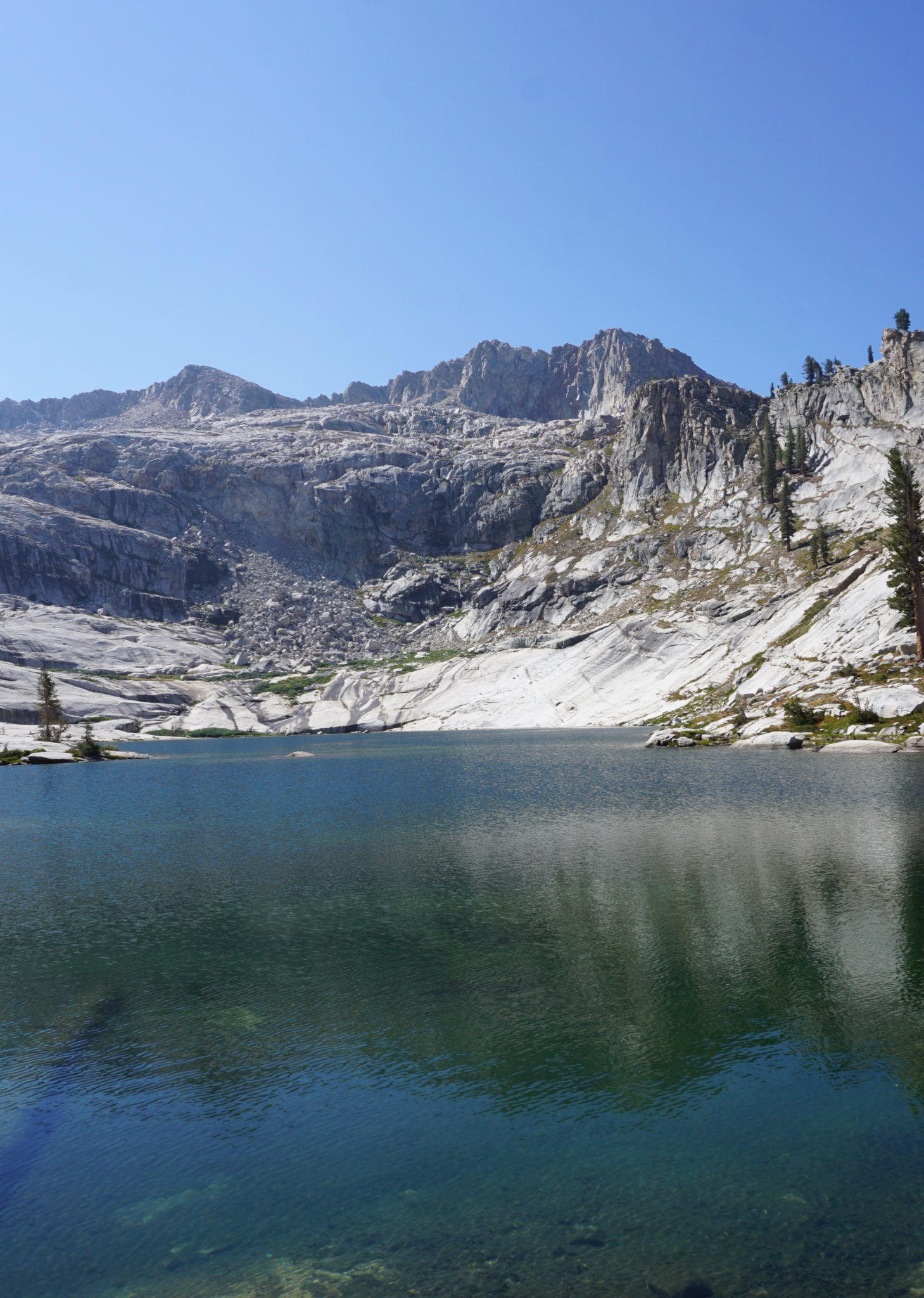
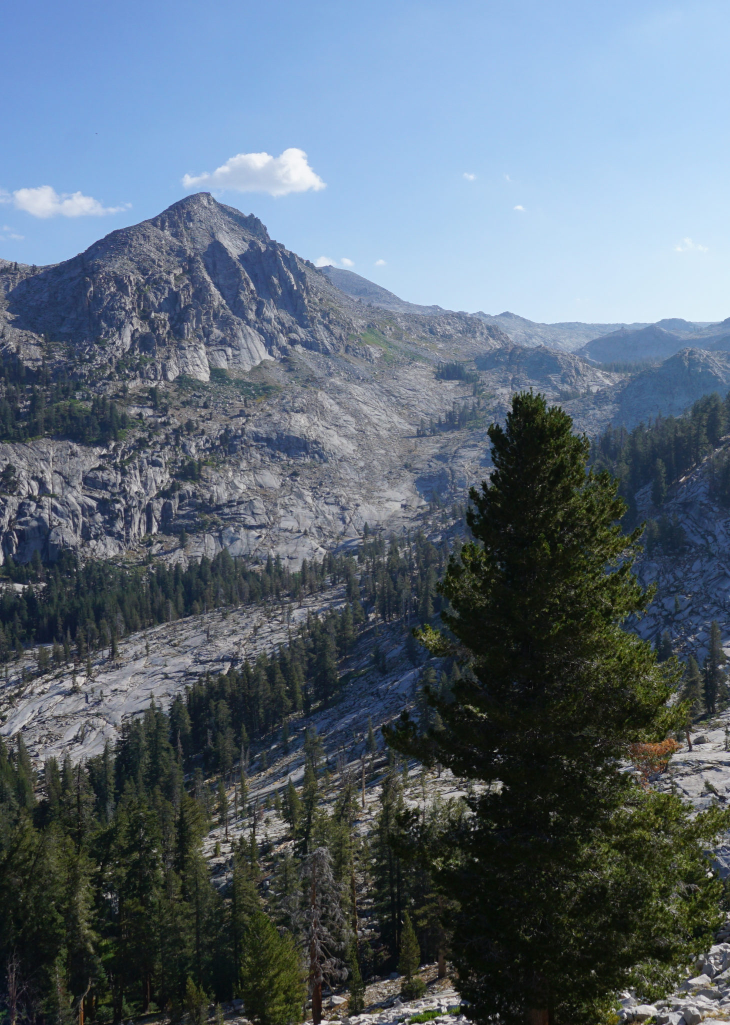
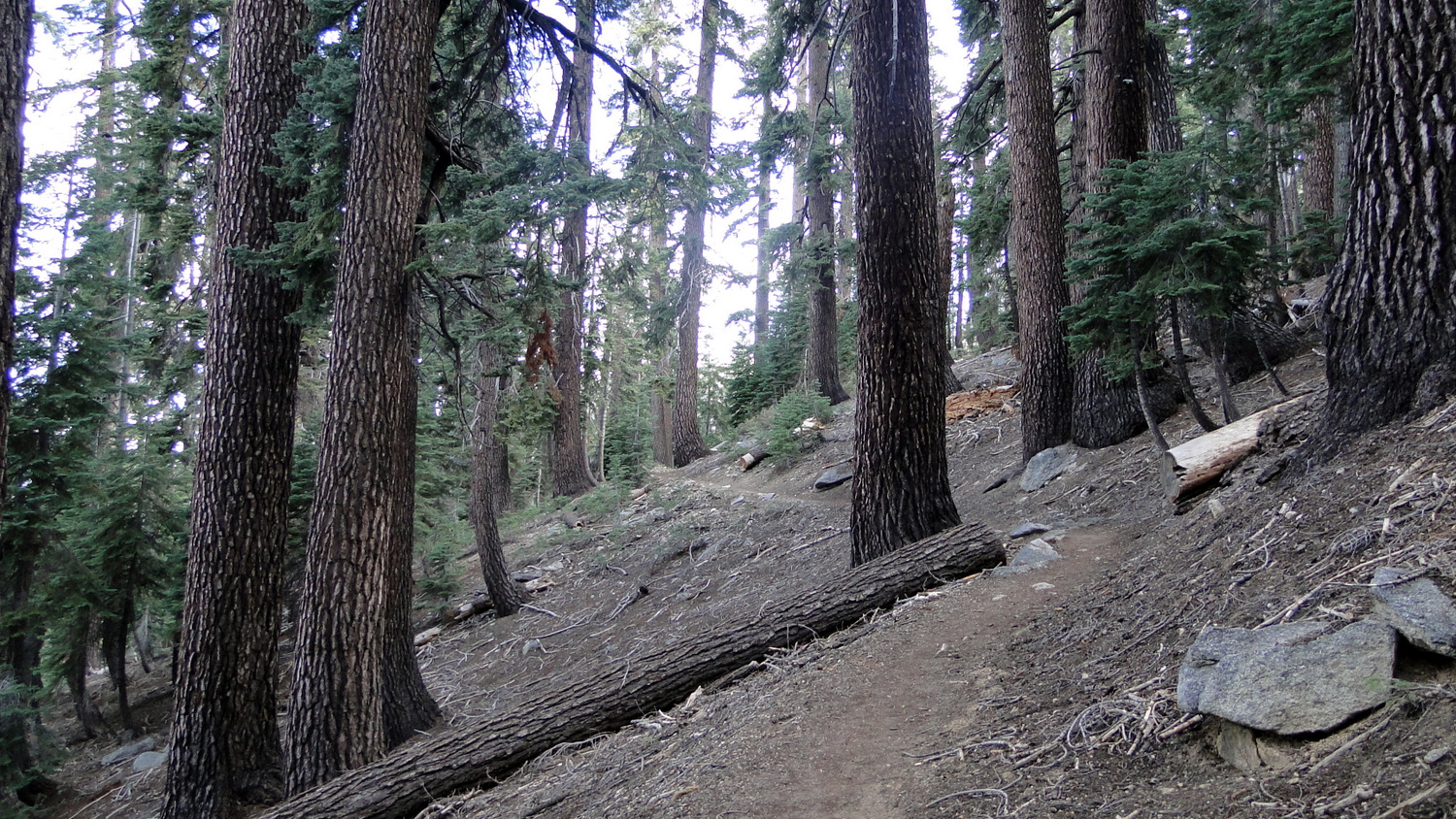
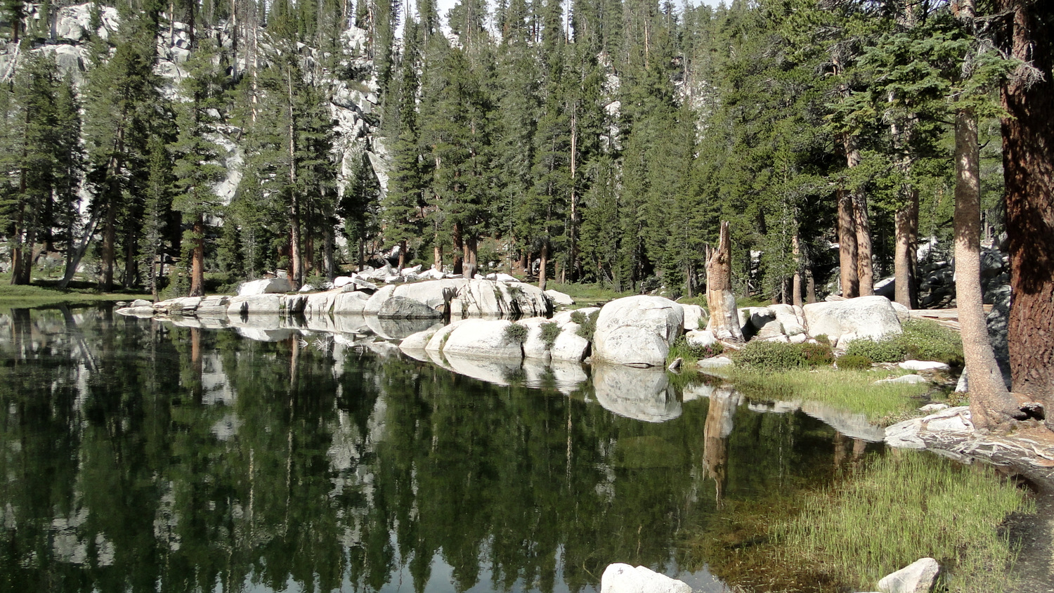
The Lakes Trail is a popular route leads to a quartet of subalpine lakes situated in the upper reaches of Tokopah Valley. The four lakes in question – Heather, Aster, Emerald, and Pear – provide excellent frontcountry backpacking options with the kind of scenery that usually requires a lot more effort to reach on the western side of the range. The Watchtower Trail, which skirts the upper rim of Tokopah Valley and passes within a stone’s throw of the Watchtower, provides stunning views across the valley toward the Silliman Crest. Many visitors come to the Lakes Trail seeking to backpack, although many also take the route as a dayhike. If you’re interested in backpacking, be aware that permits for this particular trail are first-come, first-serve with no reservations used at any point during the year. This cuts down on the time you’ll spend sitting by your fax machine on March 1st (the general start date for Sequoia/Kings Canyon permit submittal), but you will also have to play the early bird to get permits. You should also know that due to heavy use, camping is restricted to marked sites assigned by rangers at only two of the four lakes (Emerald and Pear Lakes). Some hikers find that this restriction removes some of the backcountry luster associated with the freedom of camping throughout the High Sierra’s myriad lake basins. On the positive side, such restrictions reduce the amount of degradation that comes with such high use. While the campsites are almost always in use, the condition of the area is better than one would expect given the high volume of hiker traffic. From the trailhead in the overnight parking lot at Wolverton, step onto the trail and plunge into dense tree cover. Almost immediately, you’ll come to a T-junction with the trail on the left leading to Lodgepole and the trail going right leading to the Alta Trail, Panther Gap, and the Lakes Trail. Turn right here to commence a moderate ascent along the ridge separating Tokopah Valley from Wolverton. Red fir forest For the first 1.8 miles, the trail
Trail Stats
19.7 km
792 m
2908 m
2217 m
—
Photos
Trail photo
No caption provided.

Trail photo
No caption provided.

Trail photo
No caption provided.

Trail photo
No caption provided.

Trail photo
No caption provided.
Trail photo
No caption provided.
Trail photo
No caption provided.

Trail photo
No caption provided.
Trail photo
No caption provided.

Trail photo
No caption provided.