7 min
Overview
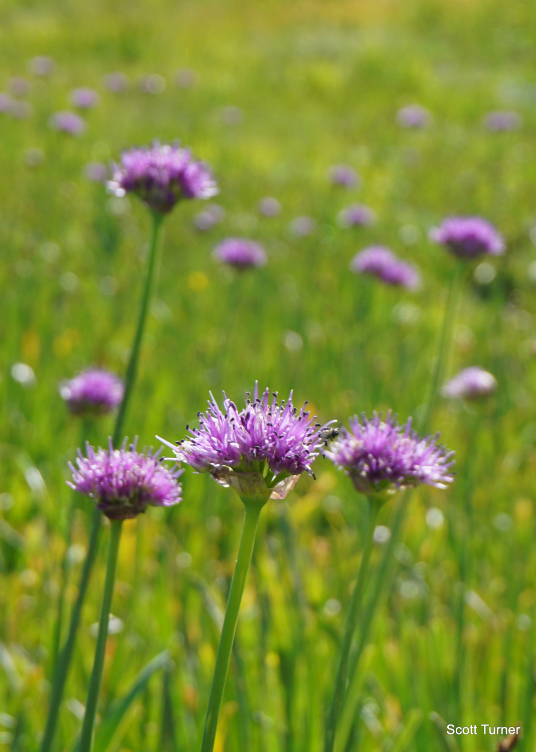
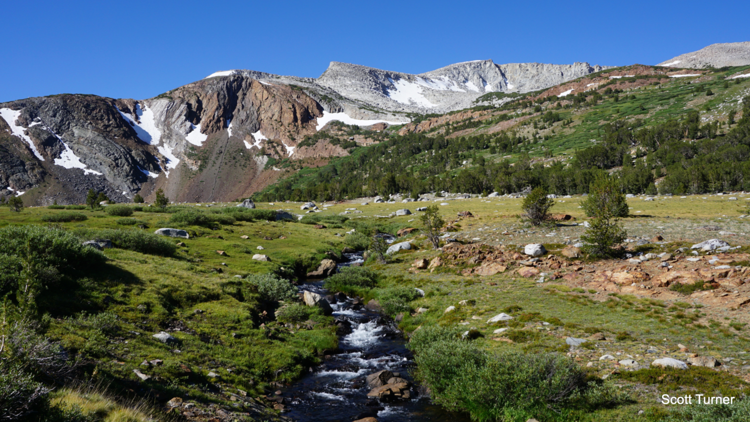
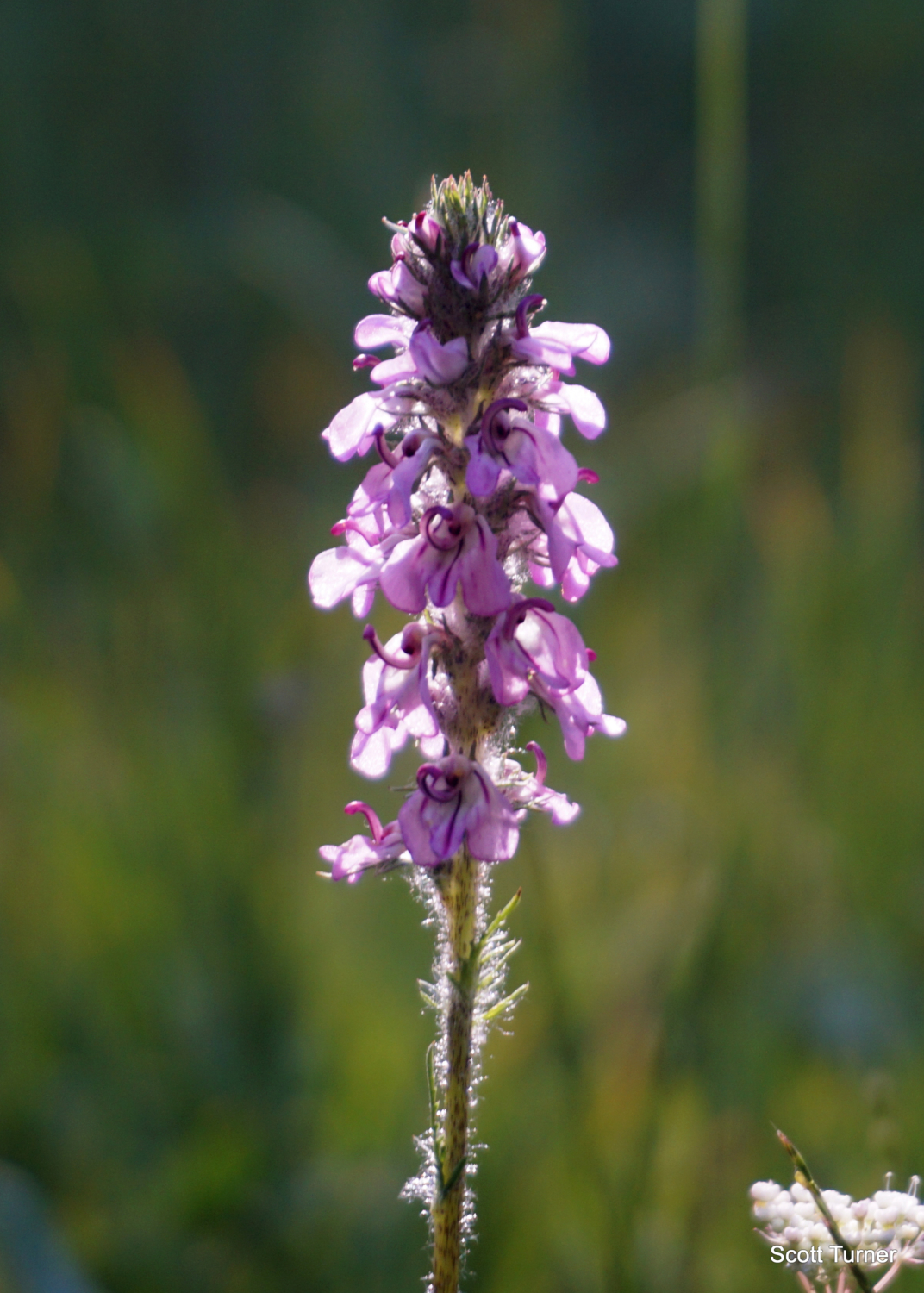
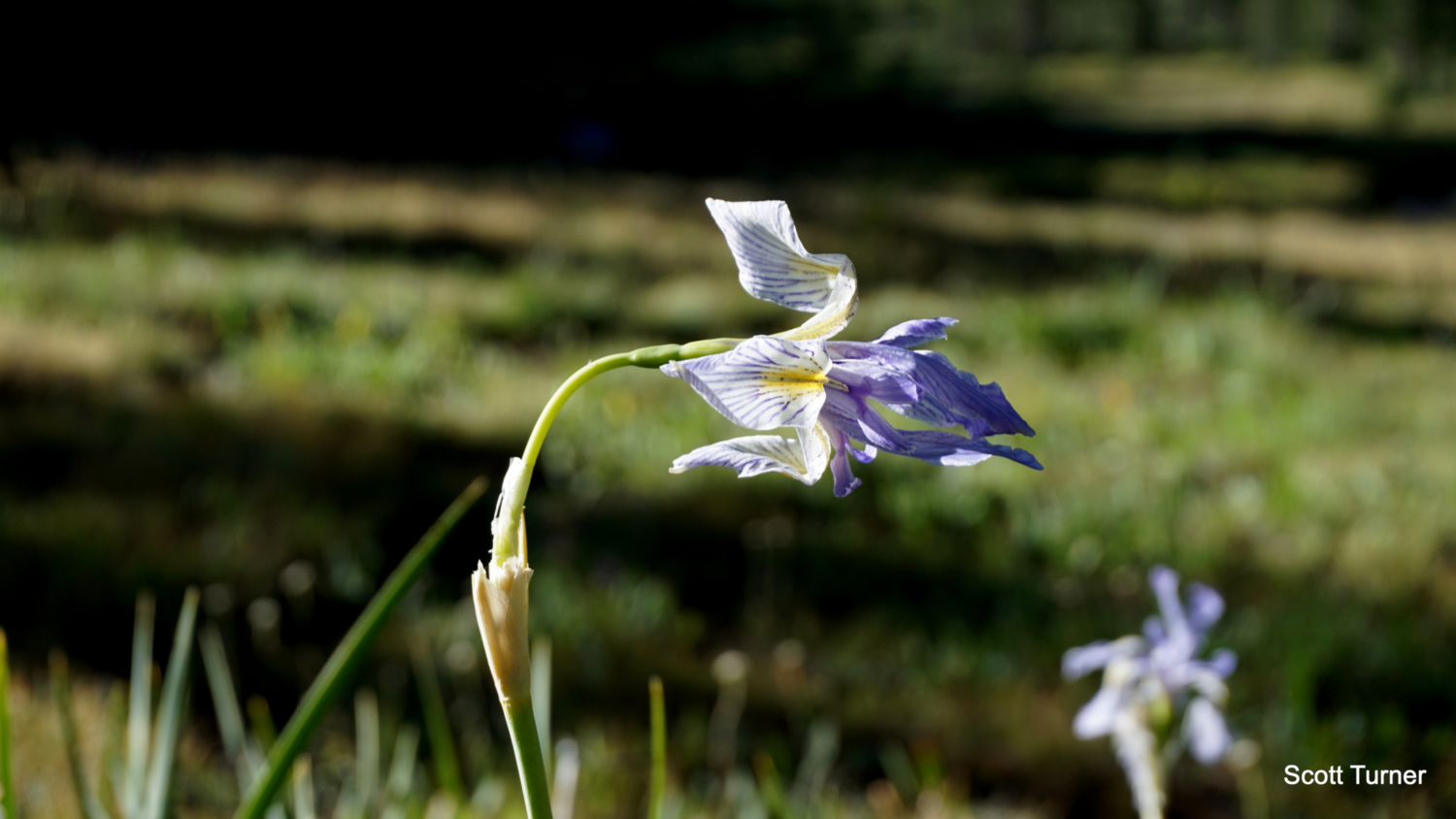
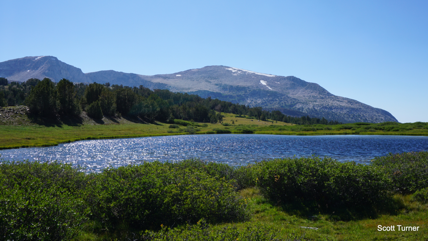
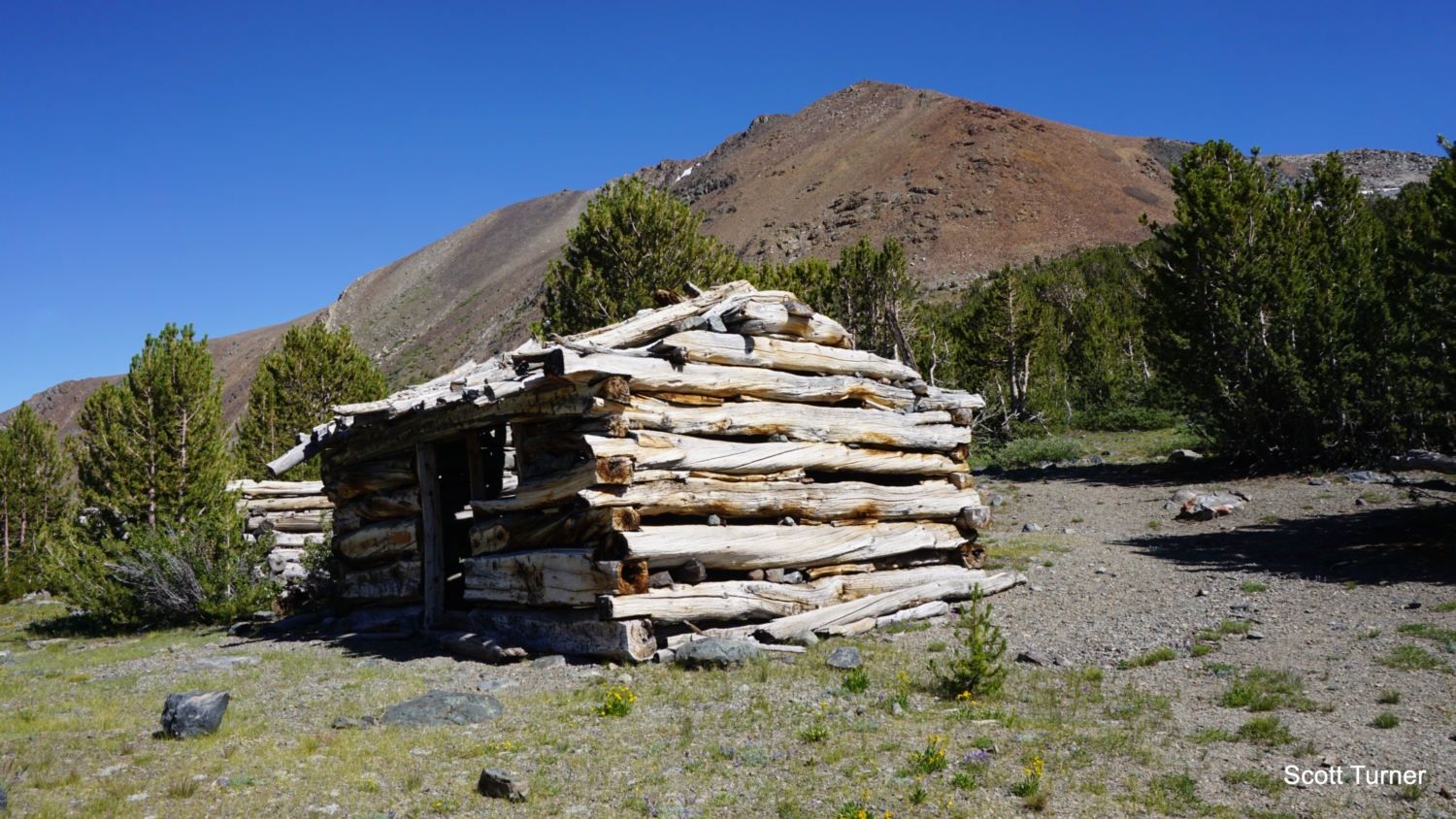
This two-for-one odyssey explores some of Yosemite’s most beautiful and accessible high country surrounding historic Mono Pass. The moderate elevation, outstanding scenery, and high starting point make this area an outstanding destination for fans of alpine scenery, as you can easily access a beautiful lake, Mono Pass, and other surrounding destinations in a full day’s worth of hiking. History buffs will also enjoy the prehistoric and recent historic legacy on display at Mono Pass, and even wildflower buffs who time their hikes well are in for a treat. History Human activity at the Mono Pass region goes back many millennia, as the pass (not to be confused with the Mono Pass in Inyo National Forest), was a primary migratory route for the Paiute and Miwok peoples inhabiting the Sierra. Trade occurred across this route, as did seasonal migrations from the Mono Basin to the Yosemite high country and beyond to Yosemite Valley itself. To this day, the remaining members of the Paiute tribes relocated to reservations near Bishop make an annual trek from Mono Lake, up Bloody Canyon, and over the Pass to the Tuolumne Meadows area. Following a massive wave of indigenous displacement, a mining operation known as the Golden Crown Mine set up shop at Mono Pass in search of rich veins of silver believed to be buried beneath the strikingly red metamorphic slopes of Mt. Lewis and Mt. Gibbs. Much like similar colonies at Bennettville near Tioga Pass and the Great Sierra Mine above the Gaylor Lakes, the Golden Crown Mine never made much profit or found much silver. The colony was abandoned, but the park service still maintains some Lincoln Log-esque cabins south from the handful of tarns that sit atop Mono Pass. Red Tape There are no permits needed to hike this route, but an entry fee to Yosemite National Park is required. You can use the Mono Pass Trail as a backcountry access portal, although there’s no camping allowed on this route within Yosemite National Park boundaries. You can push just beyond the park boundary into Iny
Trail Stats
19.6 km
609 m
3243 m
2925 m
—
Photos
Trail photo
No caption provided.

Trail photo
No caption provided.

Trail photo
No caption provided.

Trail photo
No caption provided.

Trail photo
No caption provided.

Trail photo
No caption provided.
Trail photo
No caption provided.

Trail photo
No caption provided.
Trail photo
No caption provided.
Trail photo
No caption provided.

Trail photo
No caption provided.
Trail photo
No caption provided.
Trail photo
No caption provided.