8 min
Overview
Just west of the busy Rock Creek Recreation Area, the quieter Hilton Creek Drainage features a sextet of alpine and subalpine lakes. The Hilton Lakes Trail reaches the four largest and most attractive of the lakes, which are called both the “Hilton Creek Lakes” and the “Hilton Lakes” depending on whom you are talking to. Suitable for a dayhike or two-to-three day backpacking trip, the Hilton Creek Lakes present a pleasant alternative to the much busier Morgan Pass and Mono Pass Trails on the south end of the recreation area. Lake 3 by moonlight Like other hikes in the Rock Creek Area, the trail to the lakes starts high and therefore does not require as much strenuous effort. In fact, a 12 mile hike with only 2,000′ of elevation gain in a landscape that seems to go upward until it reaches the moon is something of a unicorn. That said, there are a couple of significant challenges to note on this route. First, the trailhead lies at 9,866′ of elevation. Hikers that haven’t acclimated properly may experience altitude issues. Secondly, this is one of those hikes that rises and falls multiple times along the way. Rather than gaining all of your elevation on a steady uphill gradient, you will gain some, lose some, gain some, lose some, gain some, and then lose some before you repeat the whole process in reverse. Although the difficulty that comes with this sort of hiking is mostly psychological, it seems like more work than it would otherwise. Fall color and Rock Creek Canyon Also note that backpackers will require a wilderness permit to camp overnight at the lakes. To obtain a permit, you can visit Inyo National Forest’s wilderness permit page hosted on Recreation.gov (find the link below under the “camping” section). You can reserve your permit in advance and then pick your permit up either in White Mountain Public Lands Information Center in Bishop or at the Eastern Sierra Interagency Visitor Center in Lone Pine. After backtracking from the parking area for about 50 yards, step onto the trail adjacent to the Hilt
Trail Stats
20.9 km
655 m
3209 m
2995 m
—
Photos
Trail photo
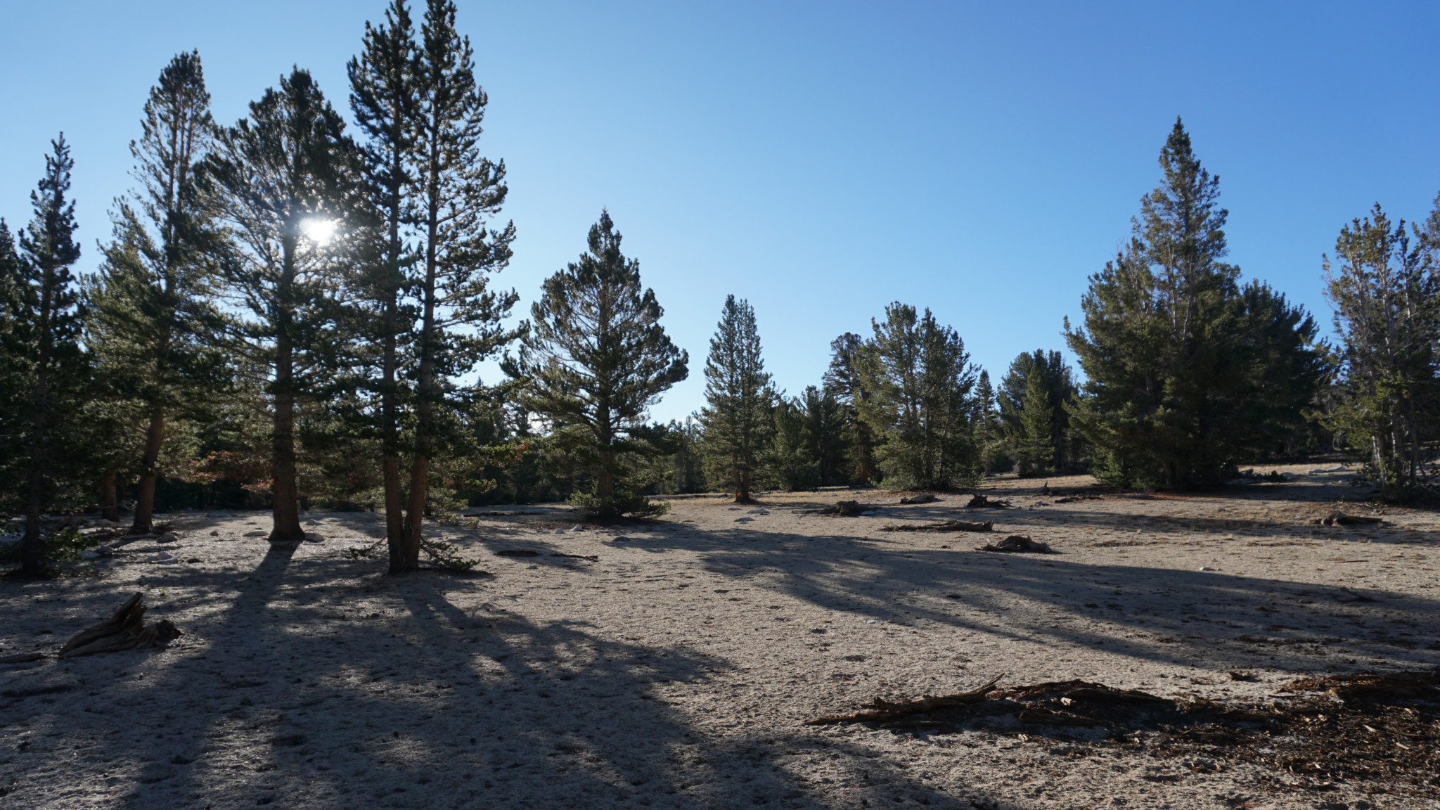
No caption provided.

Trail photo
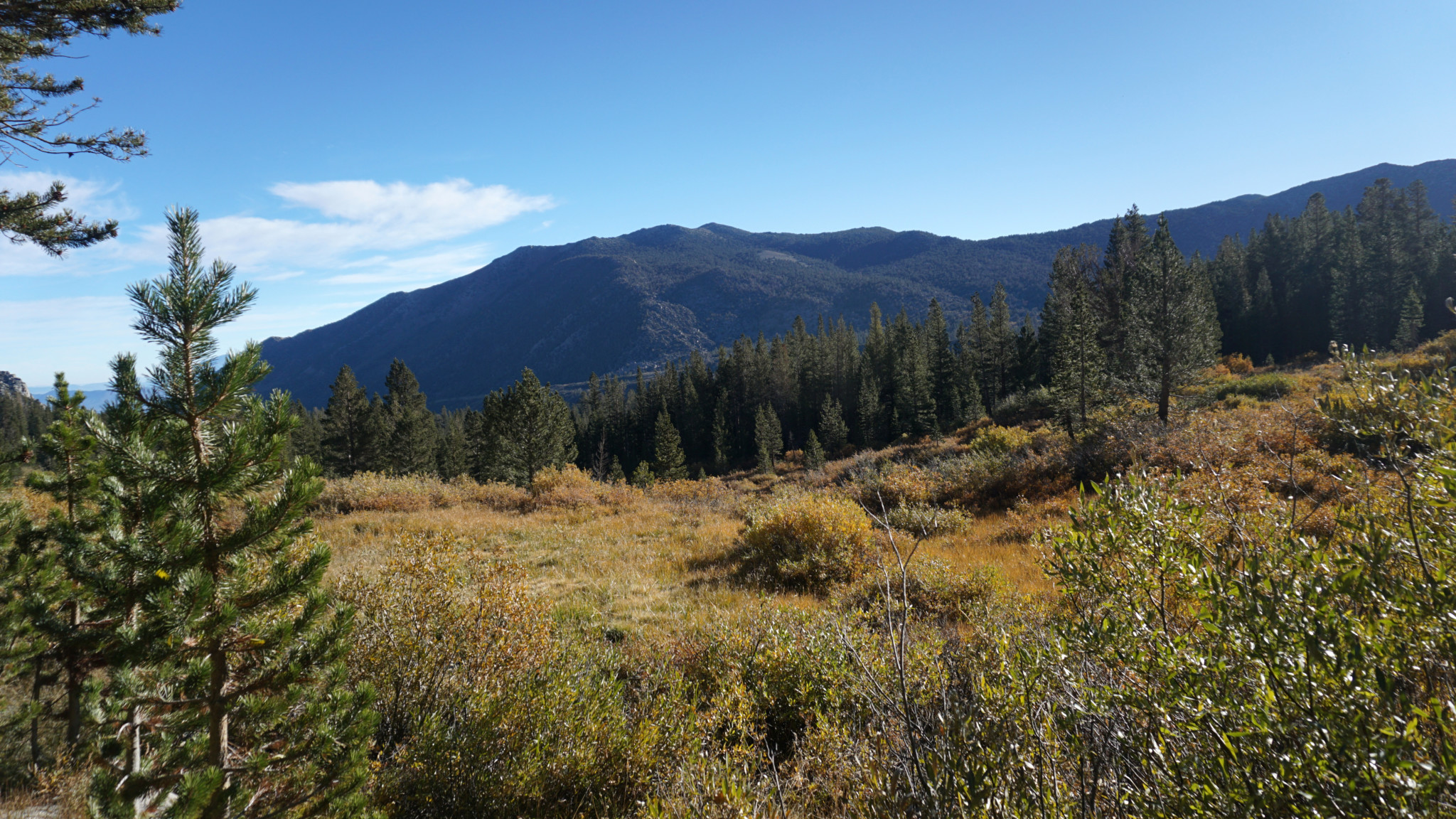
No caption provided.

Trail photo
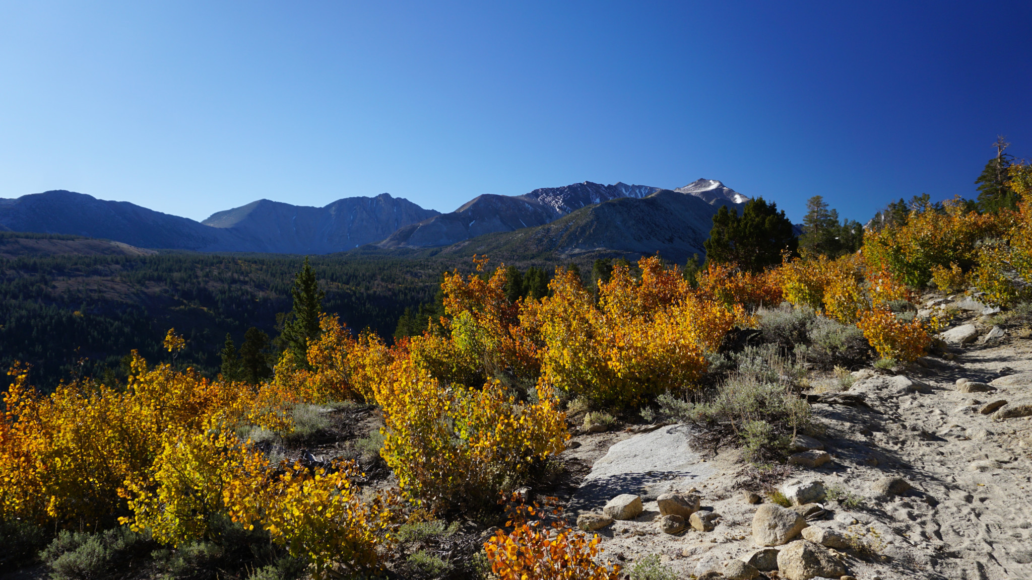
No caption provided.

Trail photo
No caption provided.

Trail photo
No caption provided.

Trail photo
No caption provided.
Trail photo
No caption provided.

Trail photo
No caption provided.
Trail photo
No caption provided.

Trail photo
No caption provided.