8 min
Overview
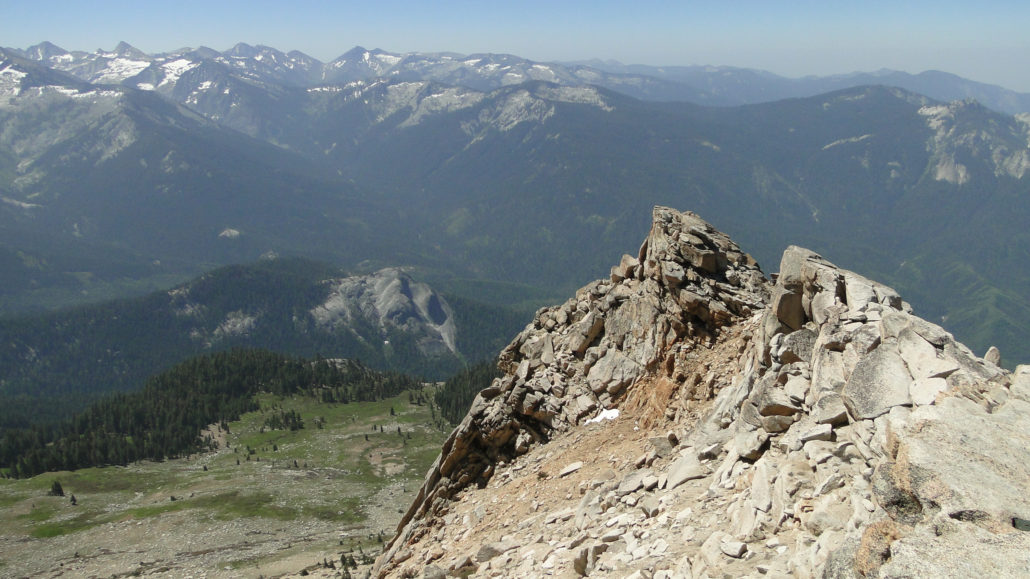
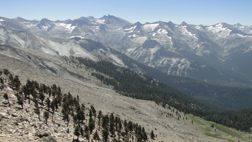
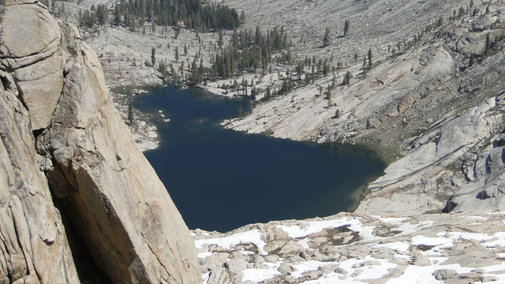
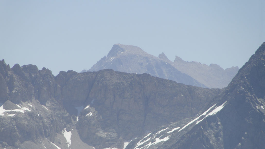
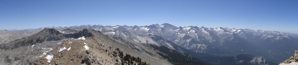
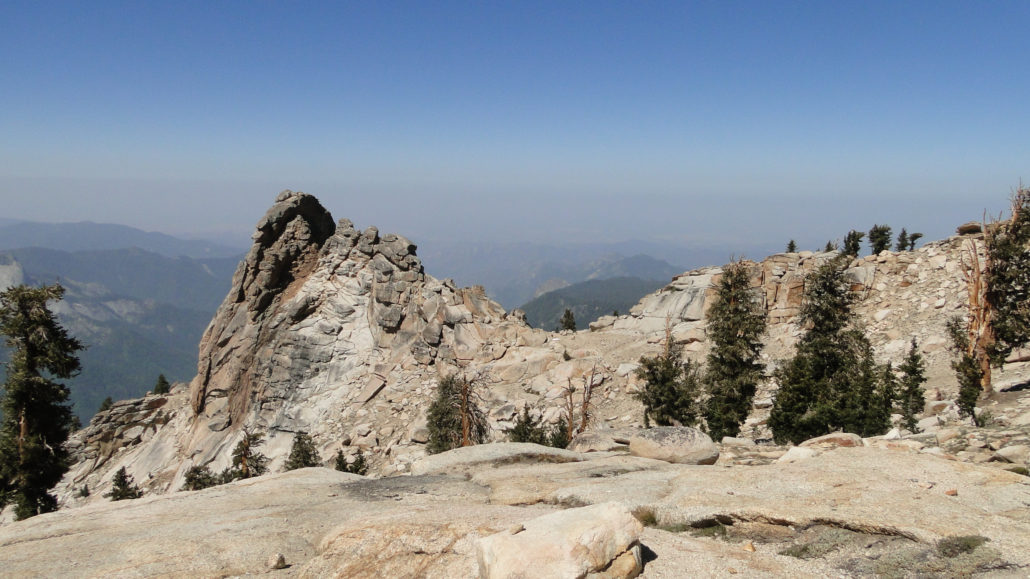
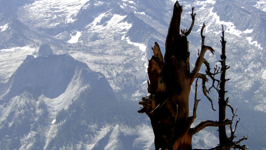
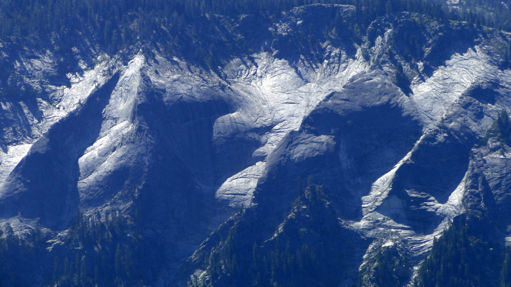
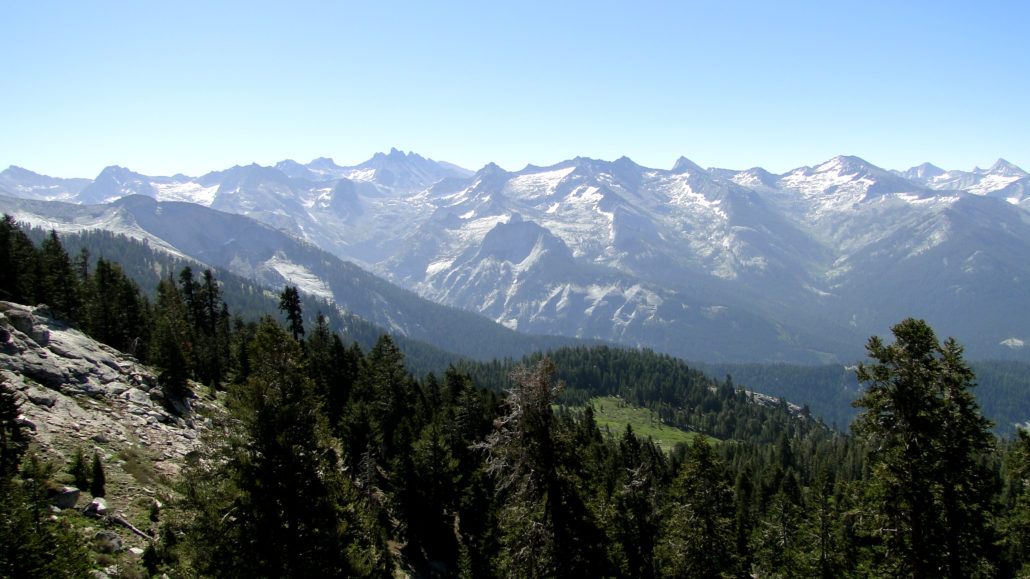
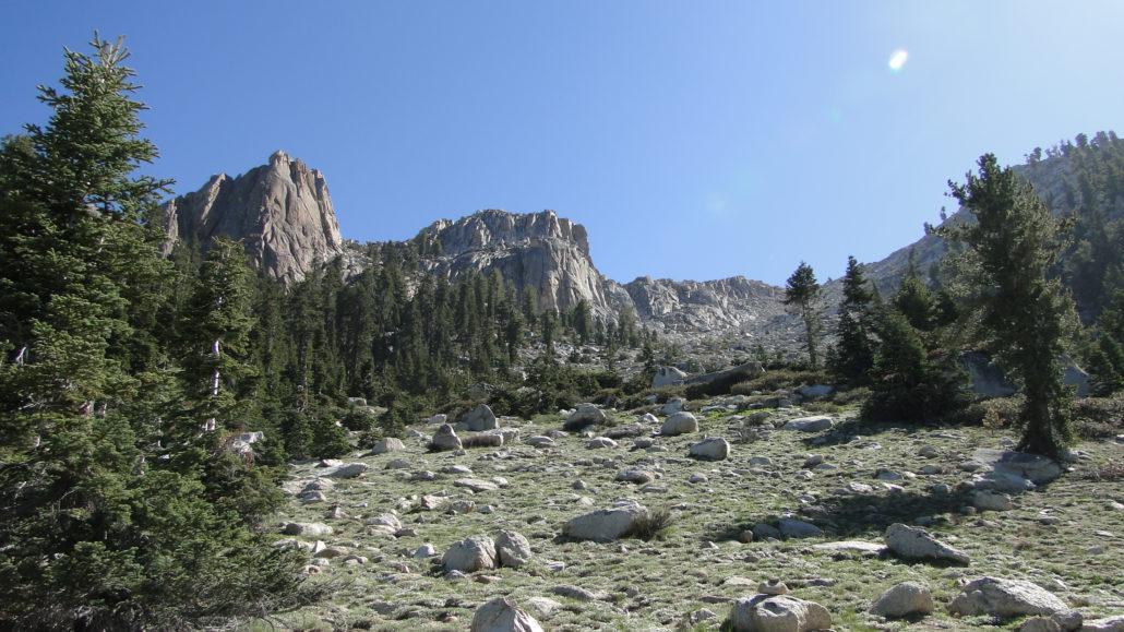
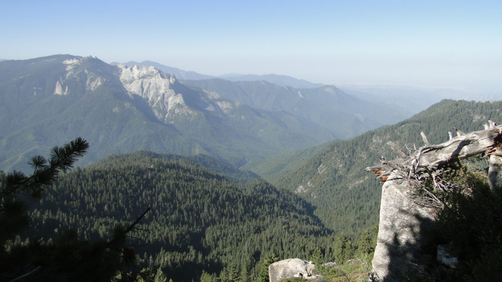
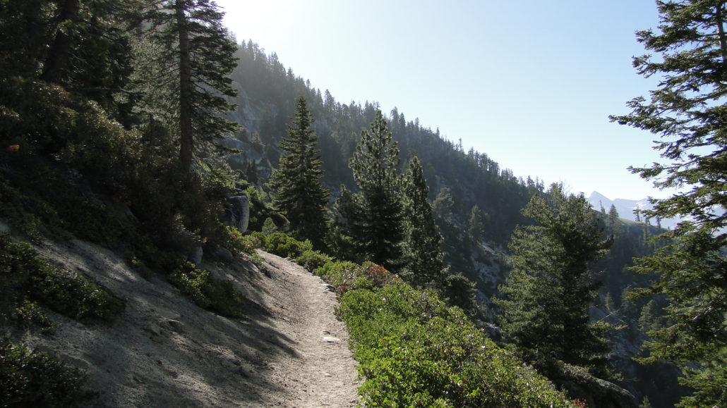
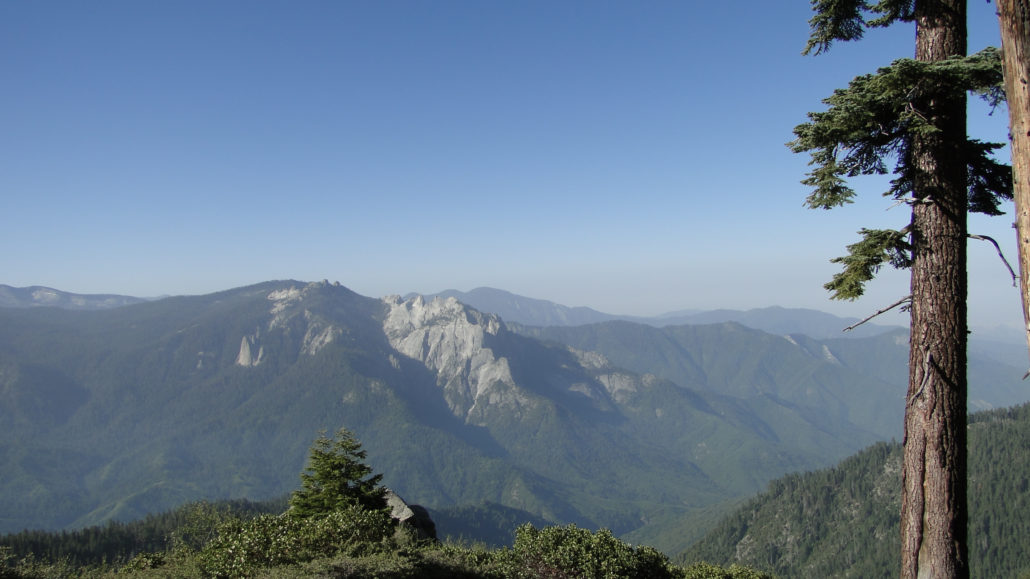
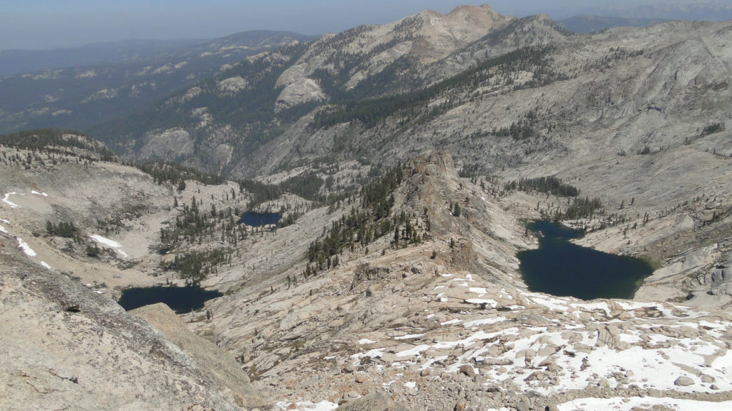
Sequoia National Park’s Giant Forest comprises an area of about 1,800 acres and features many of the park’s main attractions, including Sherman Tree, Congress Trail, Crescent Meadow, and Moro Rock. Add to this about 3.8 miles of trail leading to Tokopah Falls, and the attractions most visitors to Sequoia National Park see can be contained within about 2,200 or so acres. However, Sequoia National Park contains a whopping 404,063 acres of terrain within its boundaries, which means that much of the park remains unexplored and unseen by the casual visitor. Mt. Silliman and Silliman Crest from the summit 84% of Sequoia is designated wilderness and therefore not accessible to automobile. Although some of the 404,063 acres is contained within the chaparral/woodland environment of the foothills and within mixed-conifer forests on the western slopes, most of the park’s lands consist of epic high country terrain full of glacially carved peaks, valleys, and tarns, pristine lakes, and stunning views. Not only does Sequoia contain the world’s largest trees, it also contains the lower-48’s tallest mountain (Mt. Whitney), one of its deepest canyons, two major watersheds, and too many lakes to count. Tharps Rock The tip (and a lot more) of this figurative high country iceberg can be observed from the summit of Alta Peak. Alta Peak, which gets its name from the Spanish word for “High,” stands at 11,200’. Alta is an apt name, even though nearby regional peaks tend to dwarf it. Comparisons aside, Alta Peak pokes its head over the treeline, reaching high enough to offer an expansive view of about half of the park. This long ridge of 12,000+ peaks divides the Kaweah watershed from the Kern watershed while also forming a spectacular backdrop of alpine wilderness. The Great Western Divide Alta Peak is one of only two spots above 11,000’ accessible from roads in the Giant Forest area. The rest of Sequoia’s high country is only accessible via day hike from either the eastern side of the range at Whitney Portal or New Army Pass, or from
Trail Stats
30.3 km
1188 m
3392 m
2213 m
—
Photos
Trail photo
No caption provided.
Trail photo
No caption provided.
Trail photo
No caption provided.
Trail photo
No caption provided.
Trail photo
No caption provided.
Trail photo
No caption provided.
Trail photo
No caption provided.
Trail photo
No caption provided.
Trail photo
No caption provided.
Trail photo
No caption provided.
Trail photo
No caption provided.
Trail photo
No caption provided.
Trail photo
No caption provided.
Trail photo
No caption provided.
Trail photo
No caption provided.
Trail photo
No caption provided.