10 min
Overview
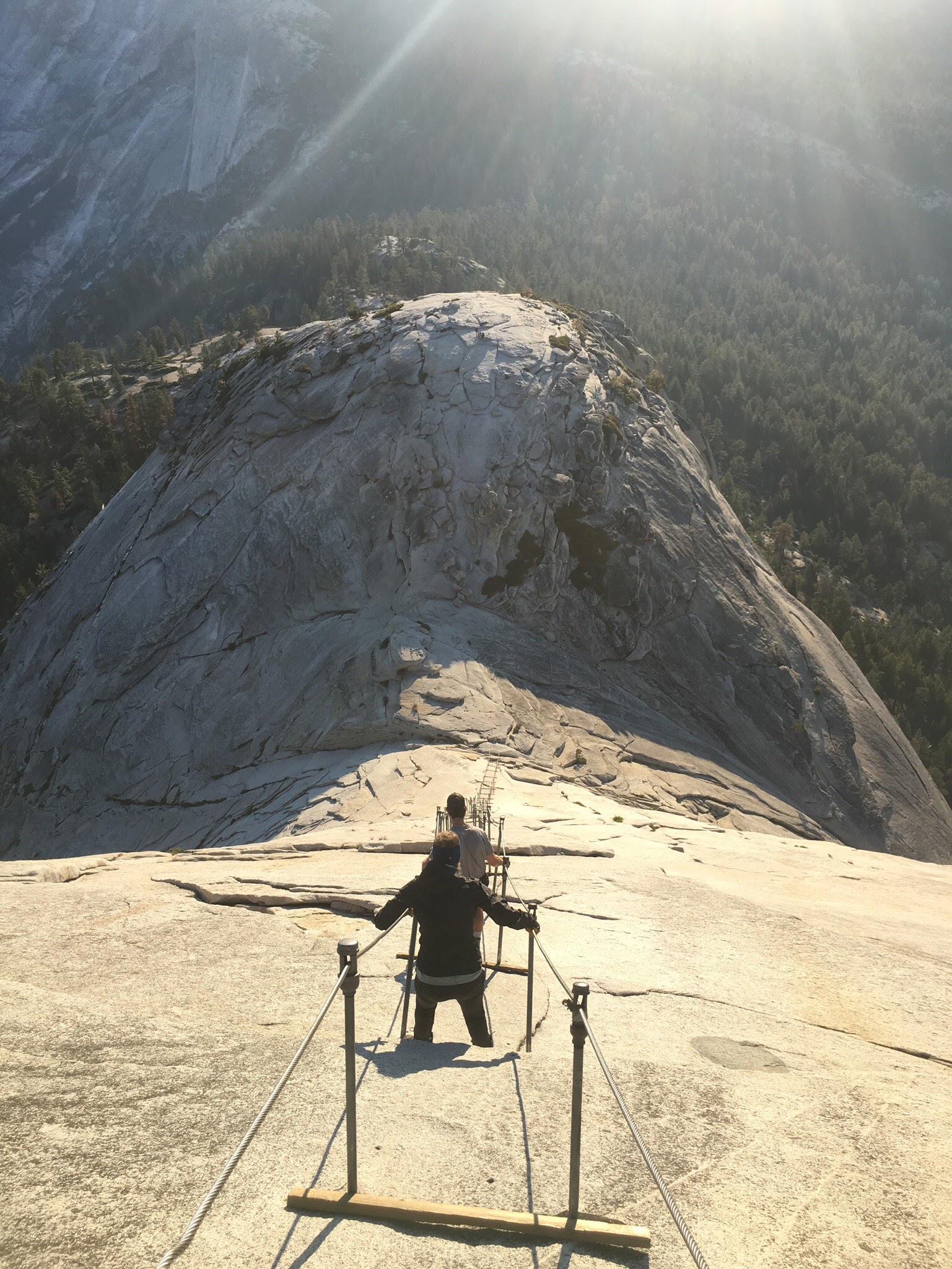
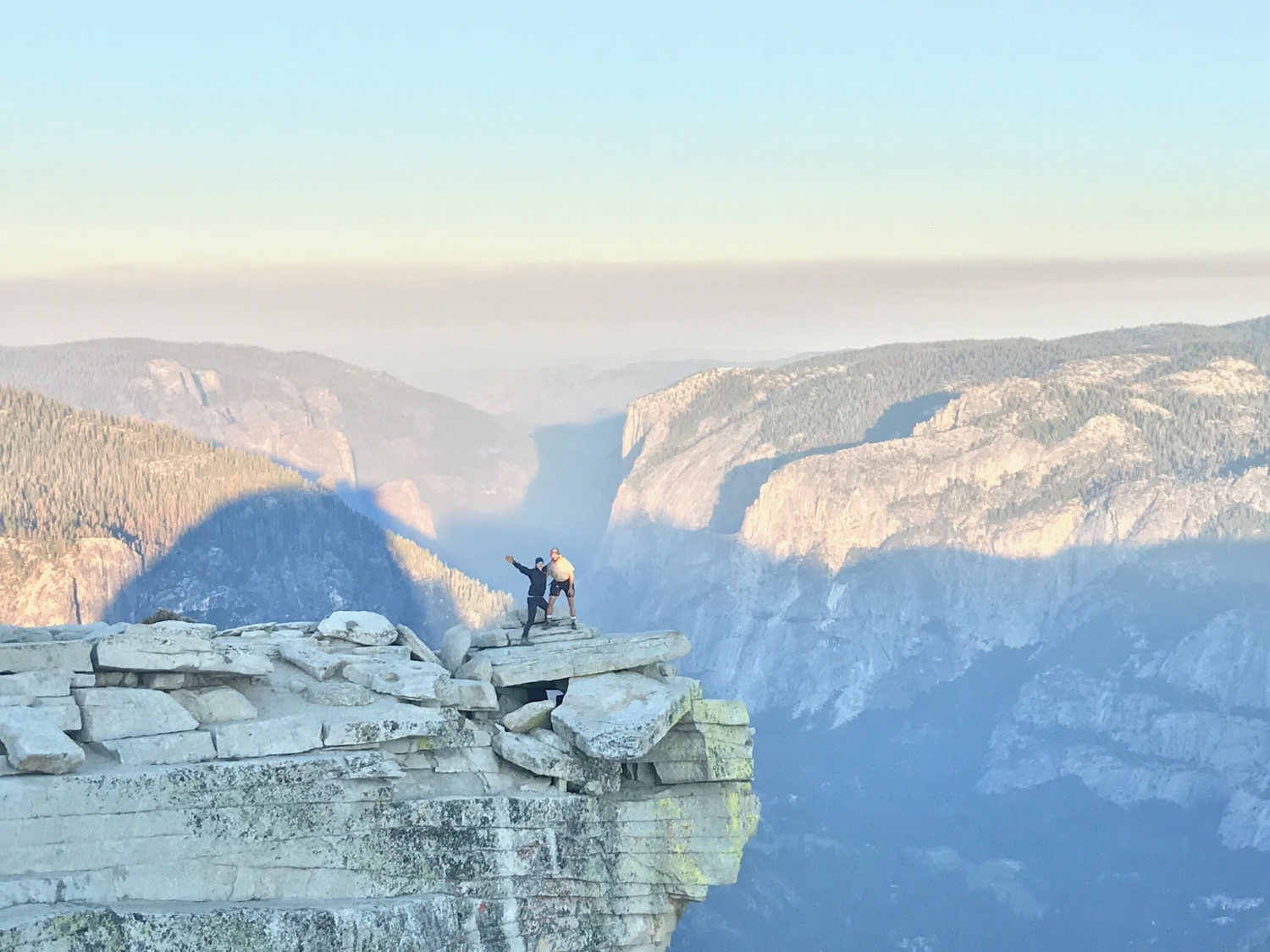
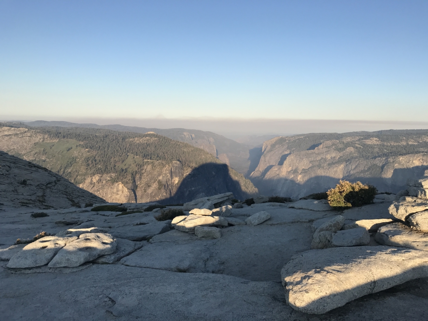
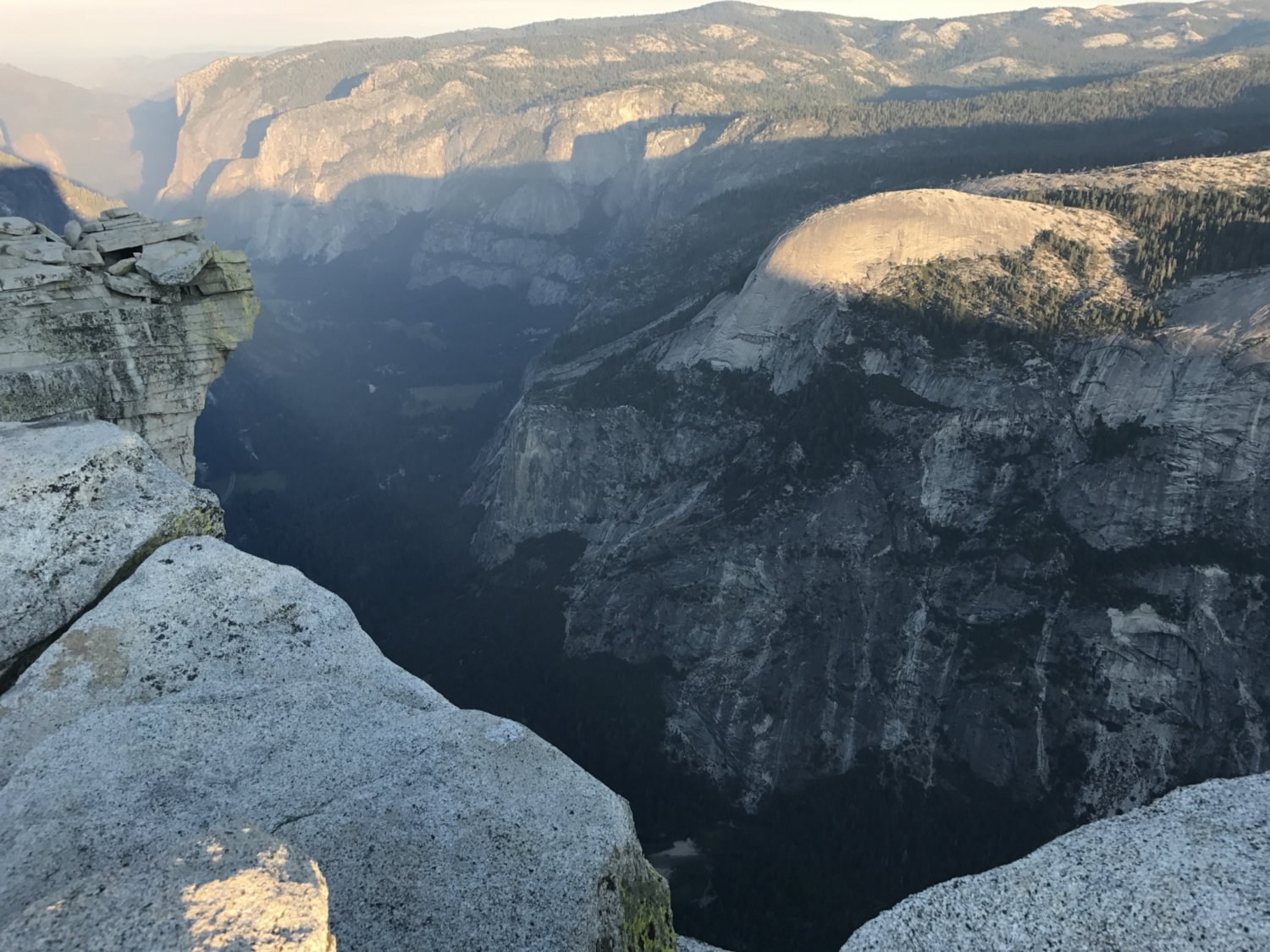
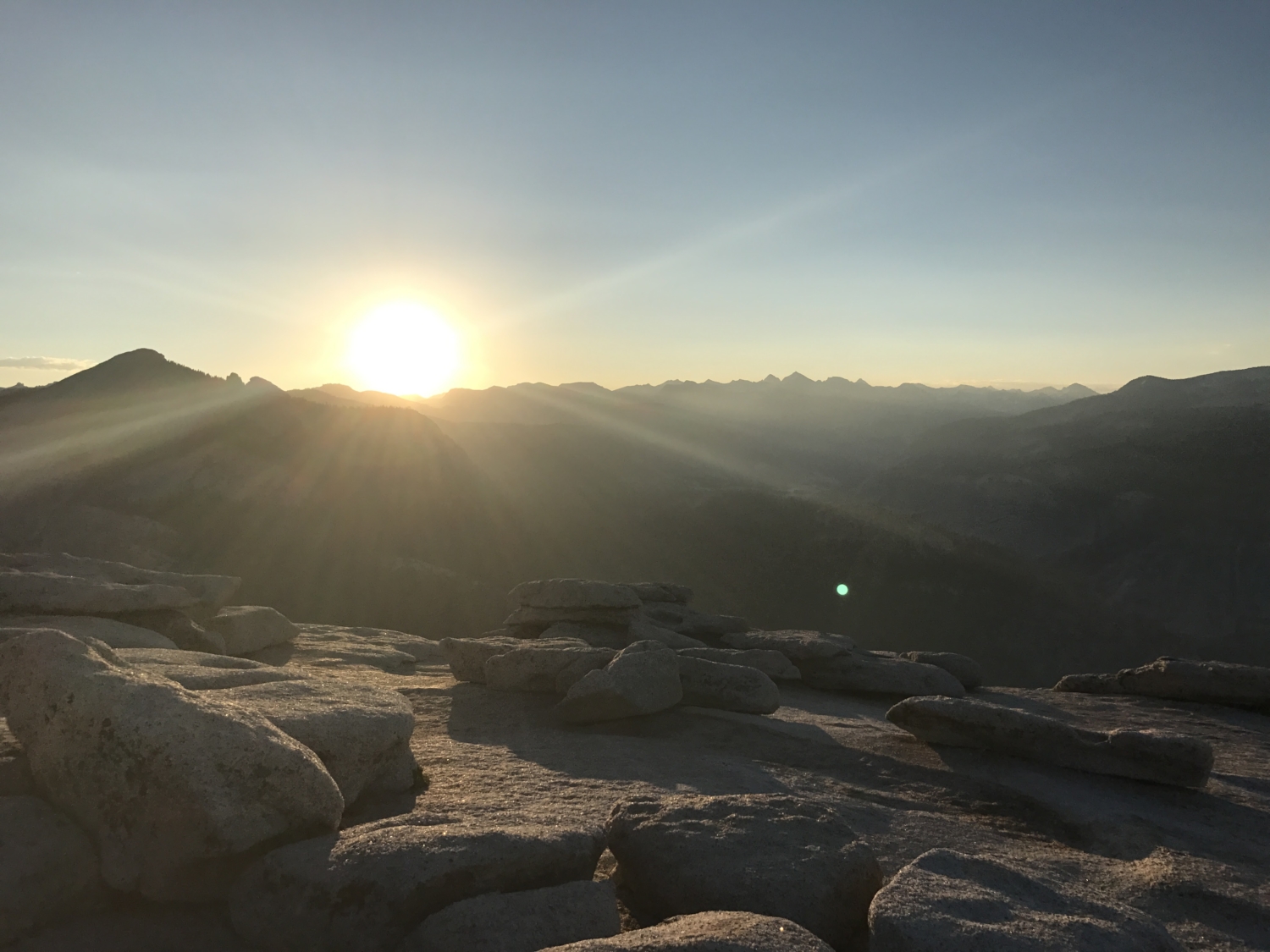
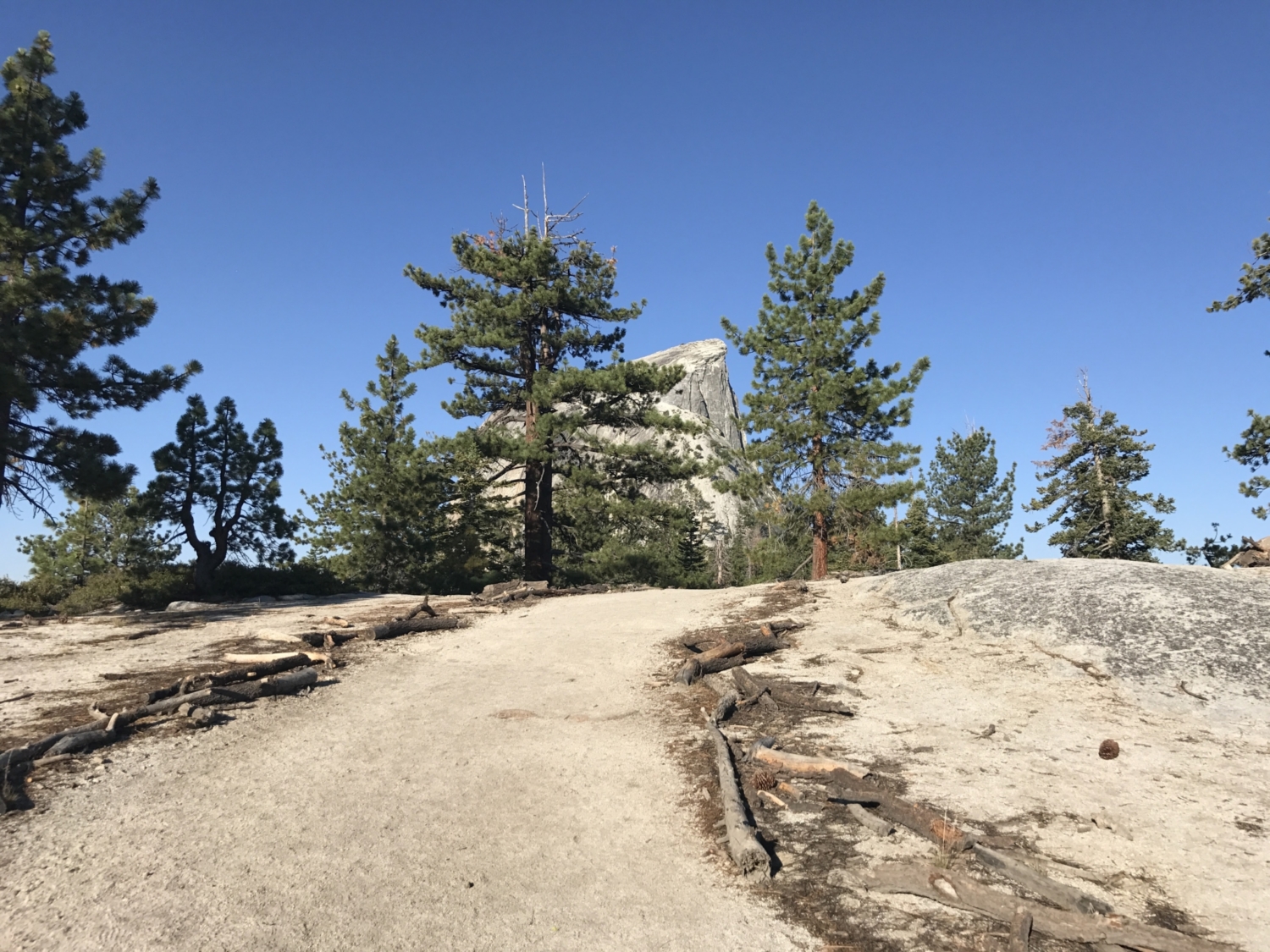
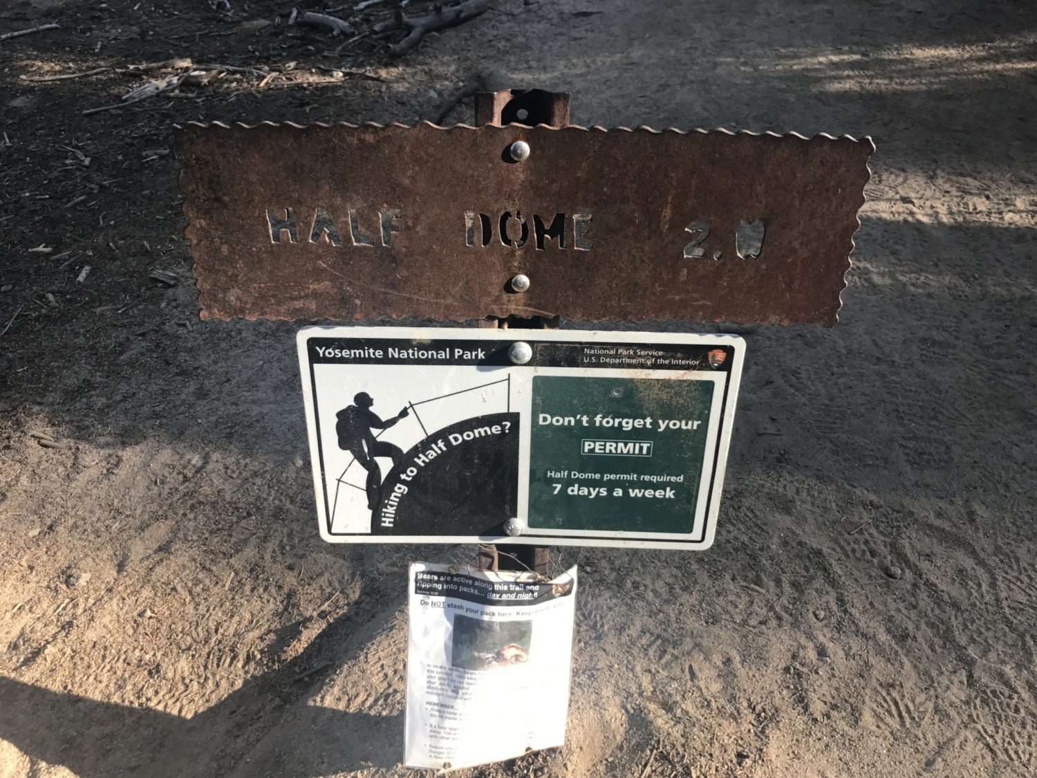
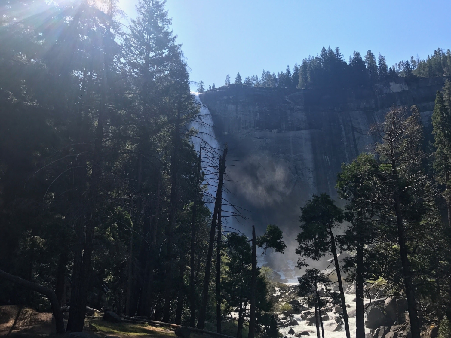
This trail takes you along the popular Mist Trail, past Vernal and Nevada Falls, and onto the John Muir Trail to Little Yosemite Valley. The trail dives into the Yosemite backcountry to the foot of the massive granite dome. Pack some extra courage and leave your fear of heights behind to scale the cables up the backside of Yosemite’s most iconic rock formation, Half Dome. Yosemite National Park is known for its towering granite rock formations and cascading waterfalls. Perhaps the most recognizable feature of the Yosemite Valley is Half Dome. Although initially Half Dome was described as “perfectly inaccessible” by Josiah Whitney of the California Geological Survey in 1865, the dome has since been ascended by rock climbers and hikers from various approaches. Some of the legendary rock climbers of Camp 4 in the Yosemite Valley first scaled the vertical face of Half Dome in the 1950s. For those who do not have the technical know-how or fearlessness of these climbers, there is another way. Cables were first placed in 1919 by the Sierra Club along the backside of the dome. These cables allow hikers without technical rock climbing skills to make the 400 foot ascent to the top of the dome. ***Very Important to Note: The cables are generally put in place after Memorial Day and then taken down after Columbus Day; however, the start date may vary based on snow conditions. Permits are required at all times to ascend Half Dome. The lottery opens on March 1 and closes on March 31. The results are posted in mid-April and 225 day-hikers are allowed each day. The application fee is $10 and if you receive the permit an additional $10 fee per person applies. Daily lottery: Hikers can apply 2 days in advance on recreation.gov for a limited number of permits You must check the weather before your hike. Thunderstorms and rainstorms are common even in the summer and this hike should not be attempted if there is any chance of a storm. Bring gloves for use on the cables and shoes/boots with good traction. This popular trailhead bran
Trail Stats
23.1 km
1493 m
2684 m
1230 m
—
Photos
Trail photo
No caption provided.
Trail photo
No caption provided.
Trail photo
No caption provided.
Trail photo
No caption provided.
Trail photo
No caption provided.
Trail photo
No caption provided.

Trail photo
No caption provided.

Trail photo
No caption provided.

Trail photo
No caption provided.

Trail photo
No caption provided.

Trail photo
No caption provided.
Trail photo
No caption provided.
Trail photo
No caption provided.

Trail photo
No caption provided.

Trail photo
No caption provided.
Trail photo
No caption provided.
Trail photo
No caption provided.

Trail photo
No caption provided.

Trail photo
No caption provided.
Trail photo
No caption provided.

Trail photo
No caption provided.
Trail photo
No caption provided.

Trail photo
No caption provided.

Trail photo
No caption provided.