24 min
Overview
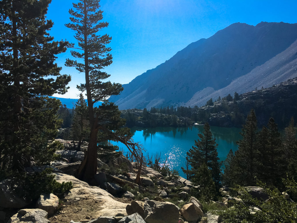
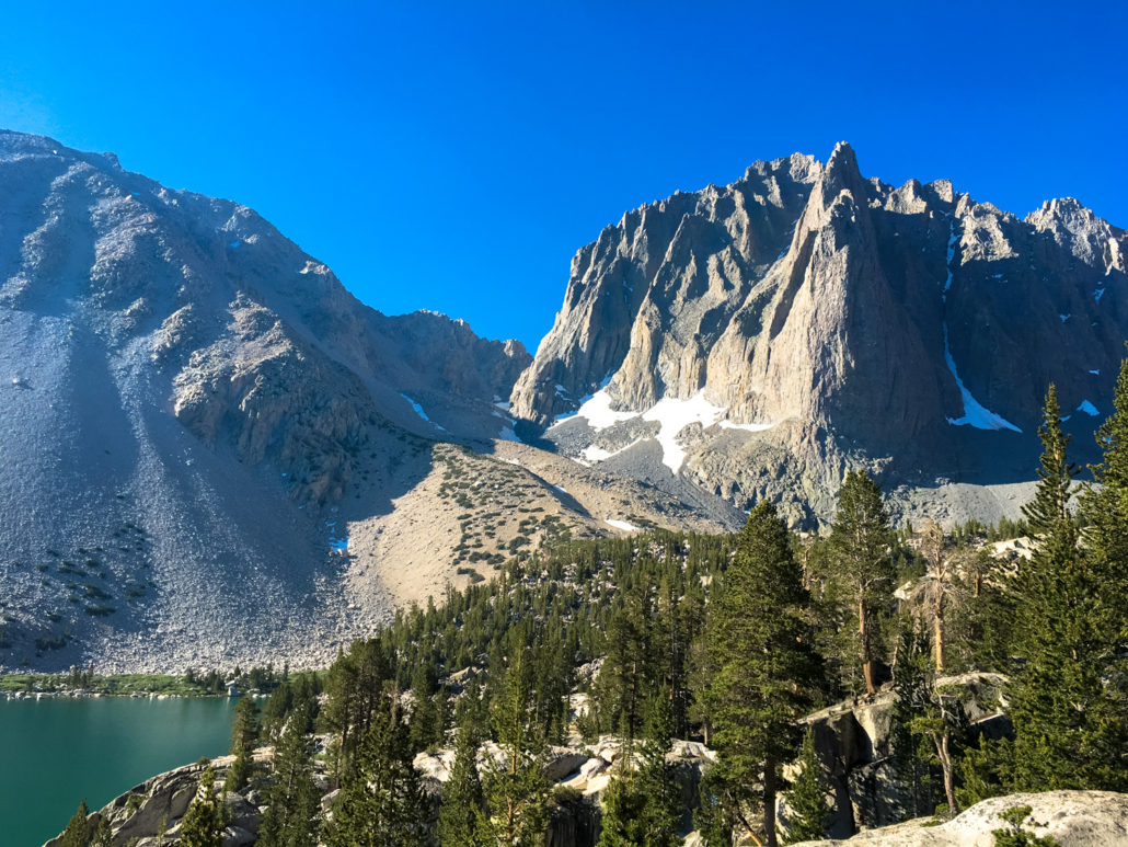
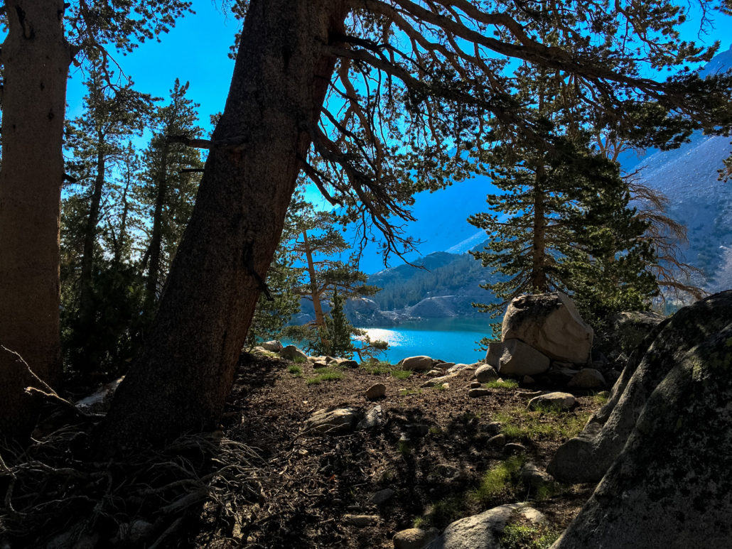
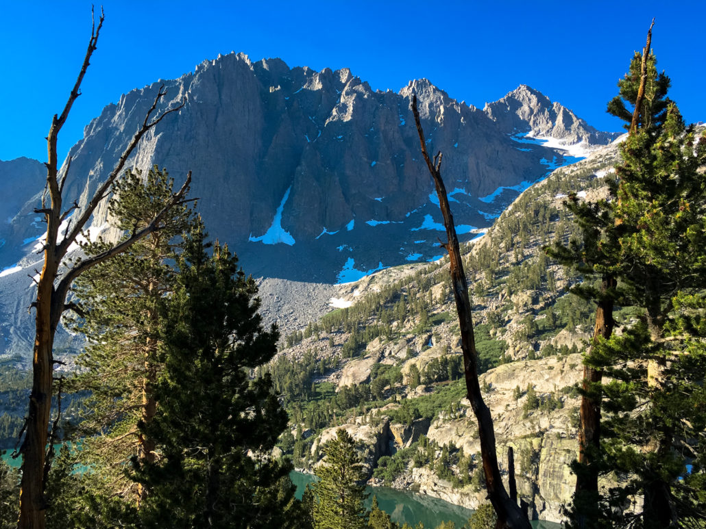
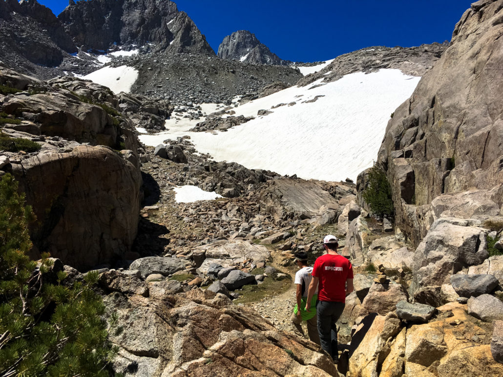
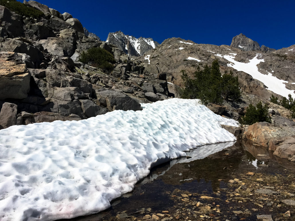
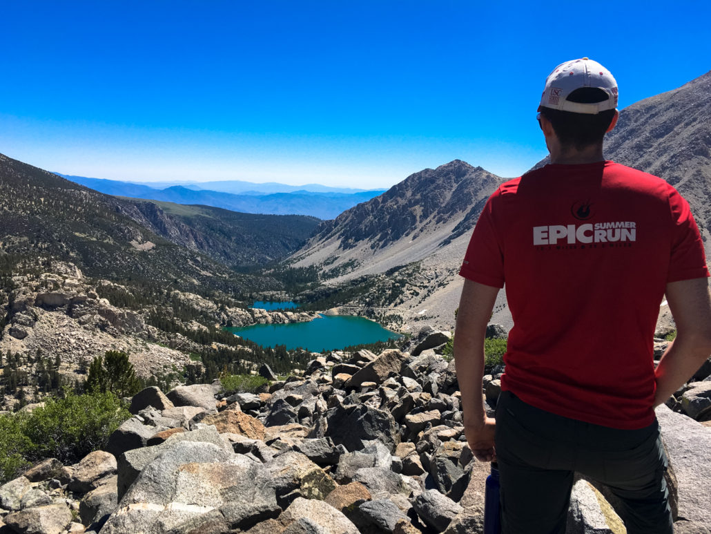
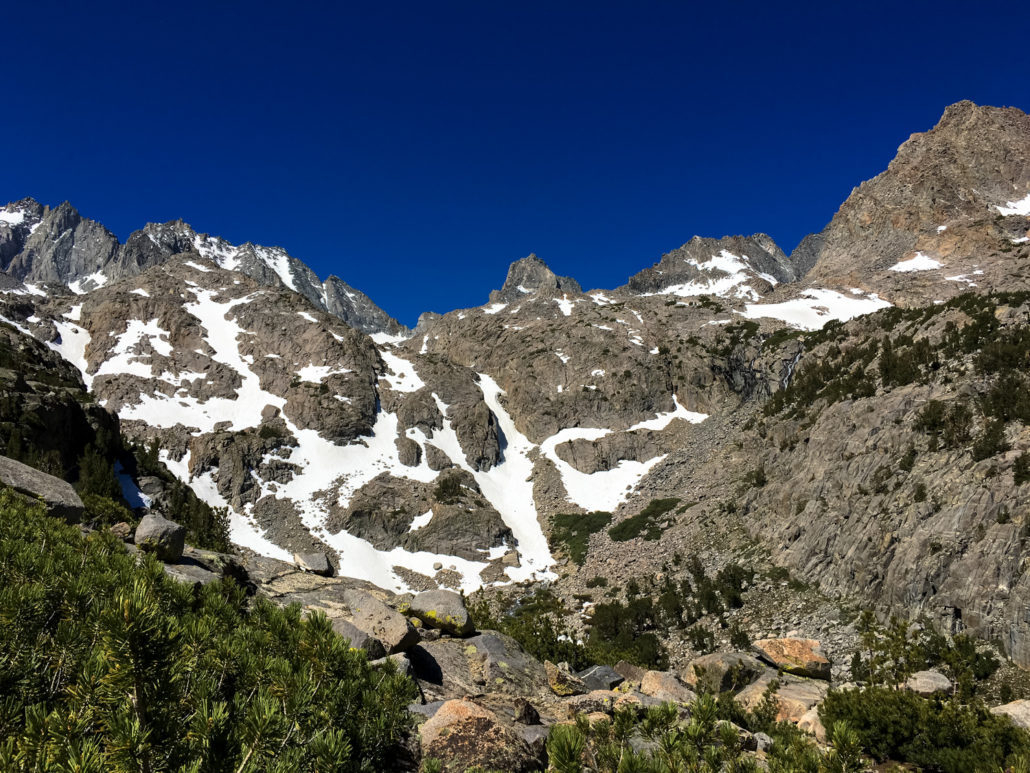
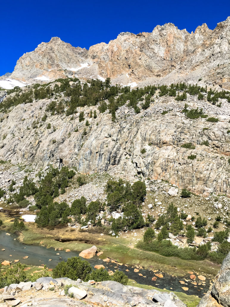
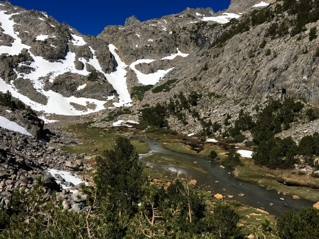
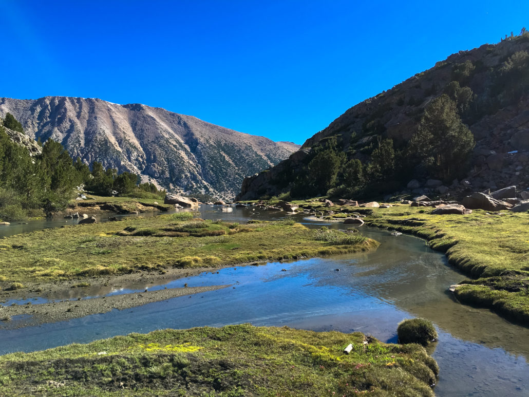
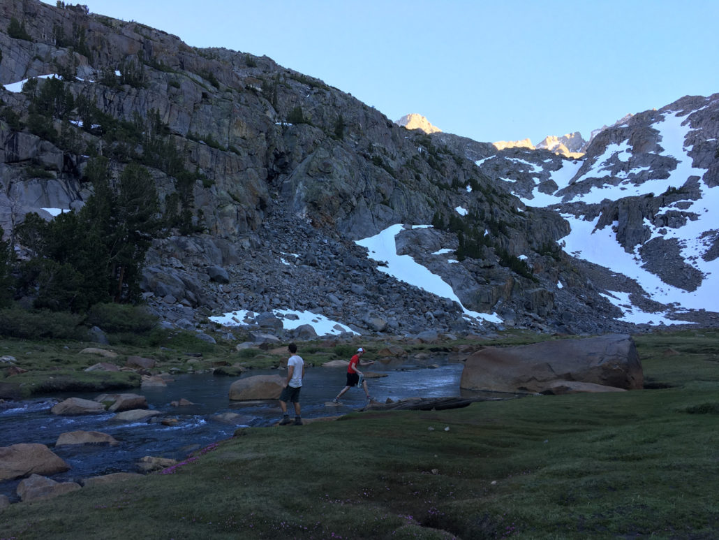
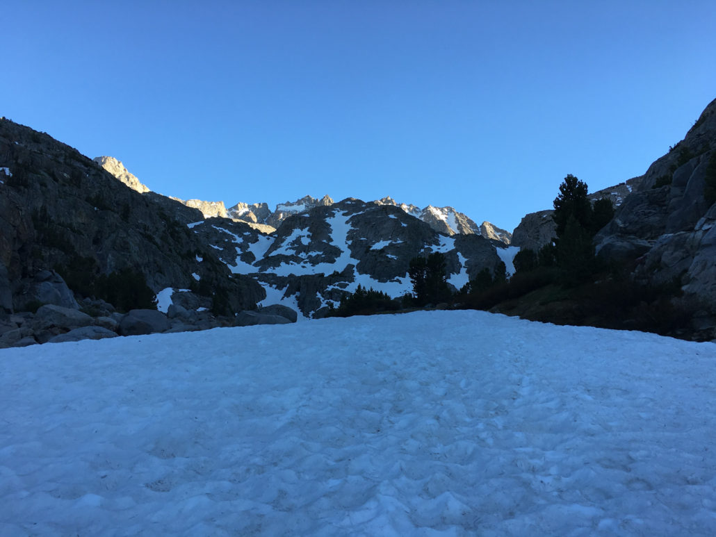
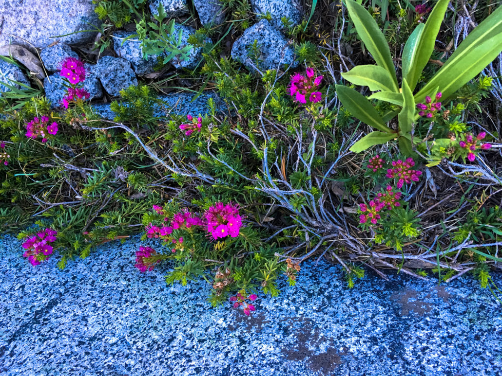
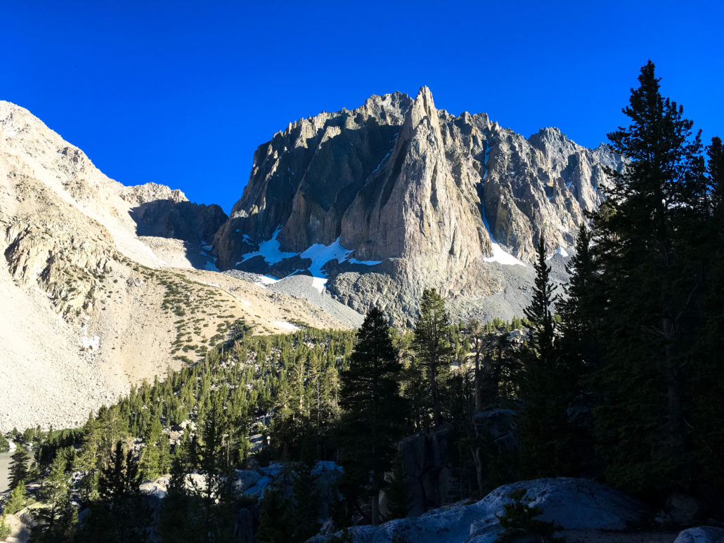
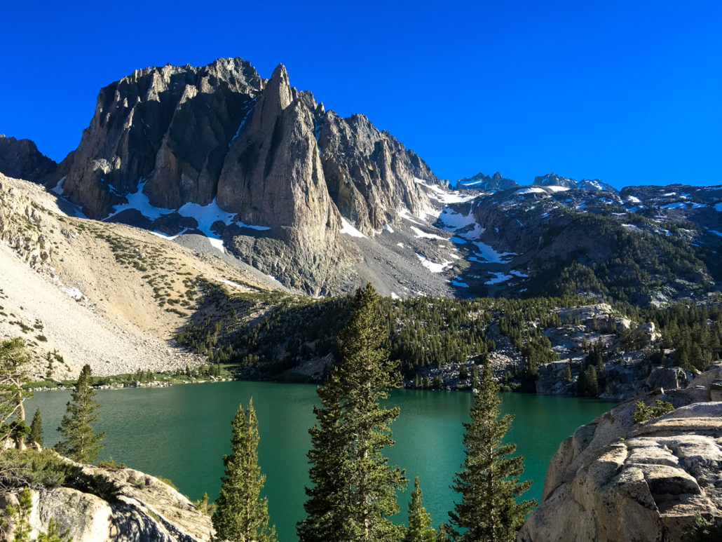
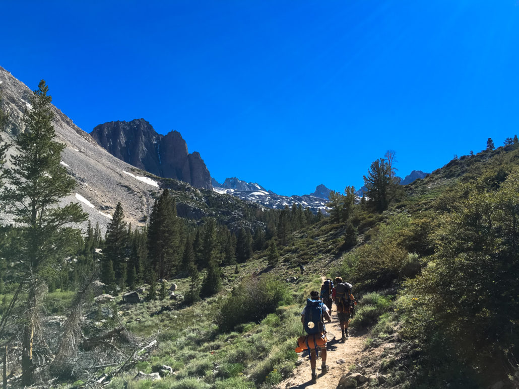
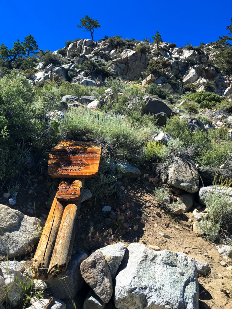
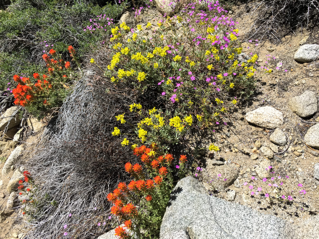
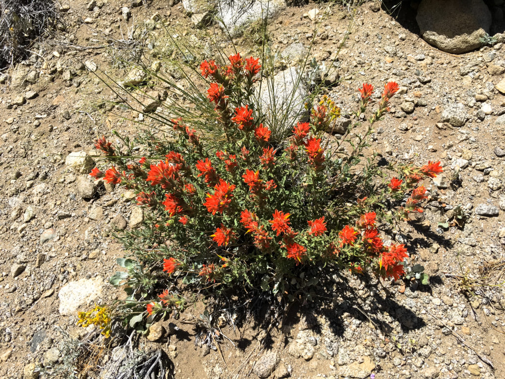
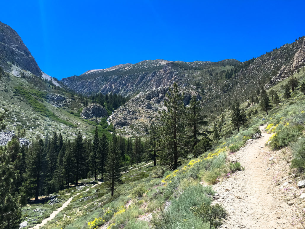
An exceptionally beautiful route for day hiking or backpacking, this trek along the North Fork of Big Pine Creek passes several stunning alpine lakes and offers numerous opportunities for idyllic backcountry wilderness camping as well as several more strenuous technical routes to nearby peaks and the Palisade Glacier. Note: This is written as a multi-day backpacking trip but can also be done as a very strenuous dayhike. It’s no secret that the Eastern Sierra is not short on jaw-dropping views and epic scenery of all kinds, but in terms of “bang for your buck” and “crowd avoidance,” the North Fork of Big Pine Creek is a solid bet. In the fall, it’s an amazing place for California fall foliage (Scott wrote an excellent description of the lower portions of this hike during peak foliage). And in the summer, adventurous types can venture farther up the trails past the Big Pine Lakes to elevated subalpine meadows, towering peaks that require technical climbs, and one of the largest glaciers in the Sierra Nevada. Note: If you are planning on overnighting in the John Muir Wilderness, you will need a Wilderness Permit from the Inyo National Forest. Permit information can be obtained here or at the Interagency Visitor Center in Lone Pine. Bear canisters are not required here but proper food storage is important — both to protect yourselves from accidental bear encounters and to protect your food from mischievous marmots. Campfires are prohibited along this entire route, and standard wilderness procedure applies for campground establishment, food storage and washing, and human waste disposal (WAG bags not required here). This route begins at the day use / backpackers’ trailhead just past the Palisade Group Camp. Bear lockers are provided near the trailhead and ALL SCENTED ITEMS should be stored there, and not in your car. Once you’ve packed up and secured your Wilderness Permits, start hiking west in Big Pine Canyon. Although you’re beginning your hike at just under 7700 feet of elevation, the plant life here is highly re
Trail Stats
28.4 km
1237 m
3594 m
2342 m
—
Photos
Trail photo
No caption provided.
Trail photo
No caption provided.
Trail photo
No caption provided.
Trail photo
No caption provided.
Trail photo
No caption provided.
Trail photo
No caption provided.
Trail photo
No caption provided.
Trail photo
No caption provided.
Trail photo
No caption provided.
Trail photo
No caption provided.
Trail photo
No caption provided.
Trail photo
No caption provided.
Trail photo
No caption provided.
Trail photo
No caption provided.
Trail photo
No caption provided.
Trail photo
No caption provided.
Trail photo
No caption provided.
Trail photo
No caption provided.
Trail photo
No caption provided.
Trail photo
No caption provided.
Trail photo
No caption provided.
Trail photo
No caption provided.
Trail photo
No caption provided.
Trail photo
No caption provided.
Trail photo
No caption provided.
Trail photo
No caption provided.