1.2 hr
Overview
Whether you are a novice backpacker or you have thousands of trail miles under your belt, chances are that the Cottonwood Lakes Loop will draw your attention sooner or later. This 23.2 mile loop through classic High Sierra landscapes features lakes, streams, expansive vistas, plenty of great camping options, attainable summits, and some adventurous off-trail travel into adjacent glacial basins. The loop described here straddles the northern edge of the Golden Trout Wilderness and the southern tip of the John Muir Wilderness and while passing between two major federal land-management jurisdictions, Inyo National Forest and Sequoia National Park. Like most areas where the National Park abuts the National Forest, your permit will cover you in both places. Day hikers in the Horseshoe Meadows area do not require a permit to visit, but all overnight users must obtain a permit in advance. Since the trailhead lies in Inyo National Forest, this is the agency from which you will want to obtain your permit. I include a link to Inyo National Forest’s Wilderness Permit application page, which is managed by Recreation.gov. Simply select the trailhead (Cottonwood Pass) and browse through the available dates until you find one you like. Pacific Crest Trail Pano overlooking Big Whitney Meadows This hike occurs almost entirely above 10,000′ of elevation and tops out just above 14,000′ at an option spur trip to Mt. Langley. Given that there is little time for acclimating if you drive up and start hiking, it will behoove you to spend a night at the Cottonwood Pass Campground that is set aside specifically for the purposes of acclimating. One night is not really enough to stave off all of the effects of altitude, but since you will probably be operating on a schedule, one night is better than nothing. Two nights and a shorter exploratory hike the day before you start this loop would be a better option. Cottonwood Lake #3 A few other precautions to bear in mind: Mosquitos can be a nightmare on this route given the large quantity of
Trail Stats
36.2 km
1231 m
3755 m
3015 m
—
Photos

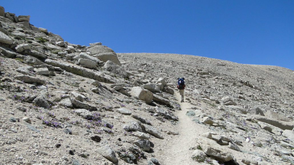
Trail photo
No caption provided.

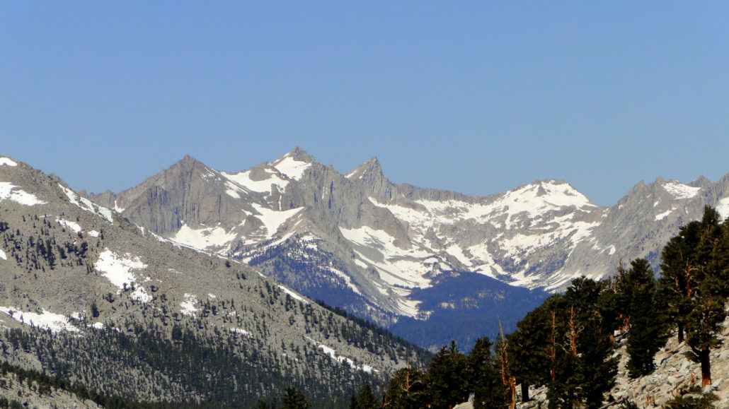
Trail photo
No caption provided.
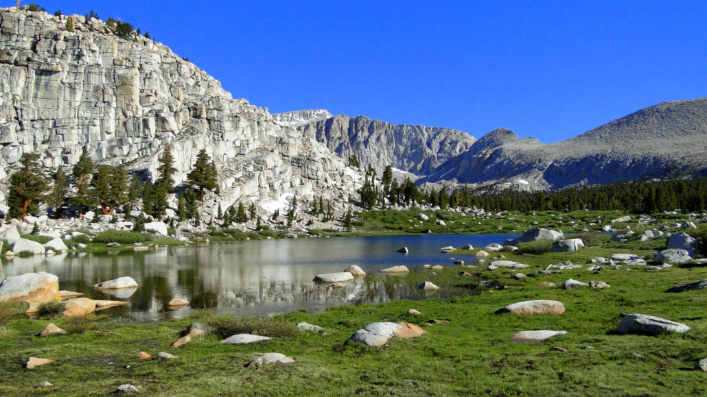
Trail photo
No caption provided.

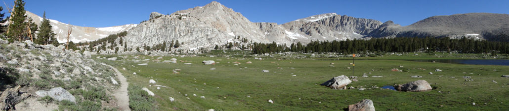
Trail photo
No caption provided.
Trail photo
No caption provided.

Trail photo
No caption provided.
Trail photo
No caption provided.
Trail photo
No caption provided.
Trail photo
No caption provided.

Trail photo
No caption provided.

Trail photo
No caption provided.

Trail photo
No caption provided.
Trail photo
No caption provided.

Trail photo
No caption provided.

Trail photo
No caption provided.
Trail photo
No caption provided.
Trail photo
No caption provided.

Trail photo
No caption provided.

Trail photo
No caption provided.

Trail photo
No caption provided.
Trail photo
No caption provided.
Trail photo
No caption provided.

Trail photo
No caption provided.
Trail photo
No caption provided.
Trail photo
No caption provided.

Trail photo
No caption provided.
Trail photo
No caption provided.

Trail photo
No caption provided.
Trail photo
No caption provided.

Trail photo
No caption provided.