2.0 hr
Overview
UPDATE: Corrected permit information on 11/16/2017 Many visitors considering Mt. Whitney think about it in terms of a brutal dayhike from Whitney Portal that often has them starting at midnight and ending when their legs fall off. Somewhat more fortunate hikers will take a few days to approach the summit while camping at Trail Camp or Outpost Camp. For those who really enjoy long walks to tall bumps, this epic route from Onion Valley gets you to the summit while also allowing you to sample some of the best high country in both Sequoia and Kings Canyon National Park. Of course, as with any visit to Mt. Whitney, you will have to contend with a severely restricted quota system for the Whitney Portal departure. A separate quota for permits exiting Trail Crest applies to hikers who start elsewhere and finish at Mt. Whitney. The way this works is that when using recreation.gov to choose your permit dates, you select the option for the Mt. Whitney exit permit. After selecting this permit option, you then get the option to select your starting trailhead, which in this case will be Onion Valley. The bad news is that there are only 25 exit permits (15 reservable, ten walk-up) available per day. The good news is that these permits are not subject to the same lottery than entry permits are subjected too, so you will likely have an easier time getting the permits – provided you are flexible with your planning. The Mt. Whitney Trail A quick synopsis reveals a simple route: access Kings Canyon and the Pacific Crest Trail via Kearsarge Pass, and head south along the Pacific Crest Trail until Crabtree Meadows. Turn left again, and climb Whitney. Exit out of Whitney Portal. Despite the simplicity of the routing instructions, there are a number of highlights to experience along the way that makes this route worthy of consideration even if you took Whitney completely out of the equation. Bullfrog Lake After following the winding trail from Onion Valley to Kearsarge Pass (4.5 miles), descend into Kearsarge Basin. You can follow
Trail Stats
77.3 km
3505 m
4413 m
2547 m
—
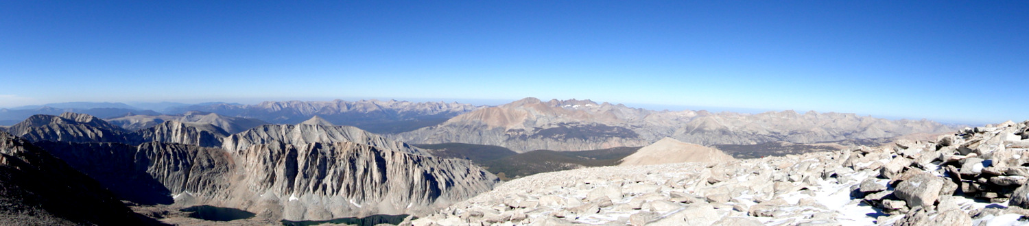
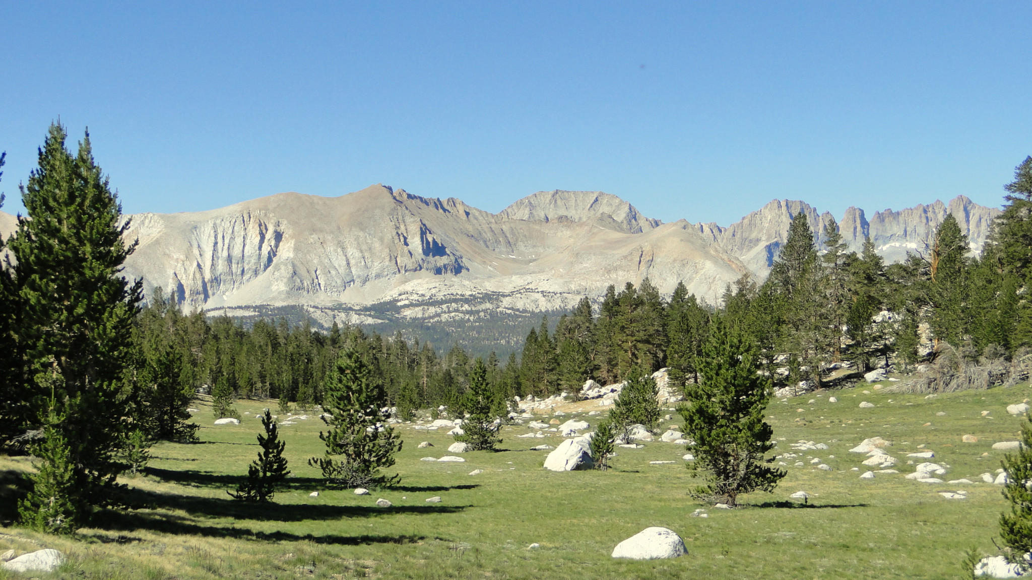
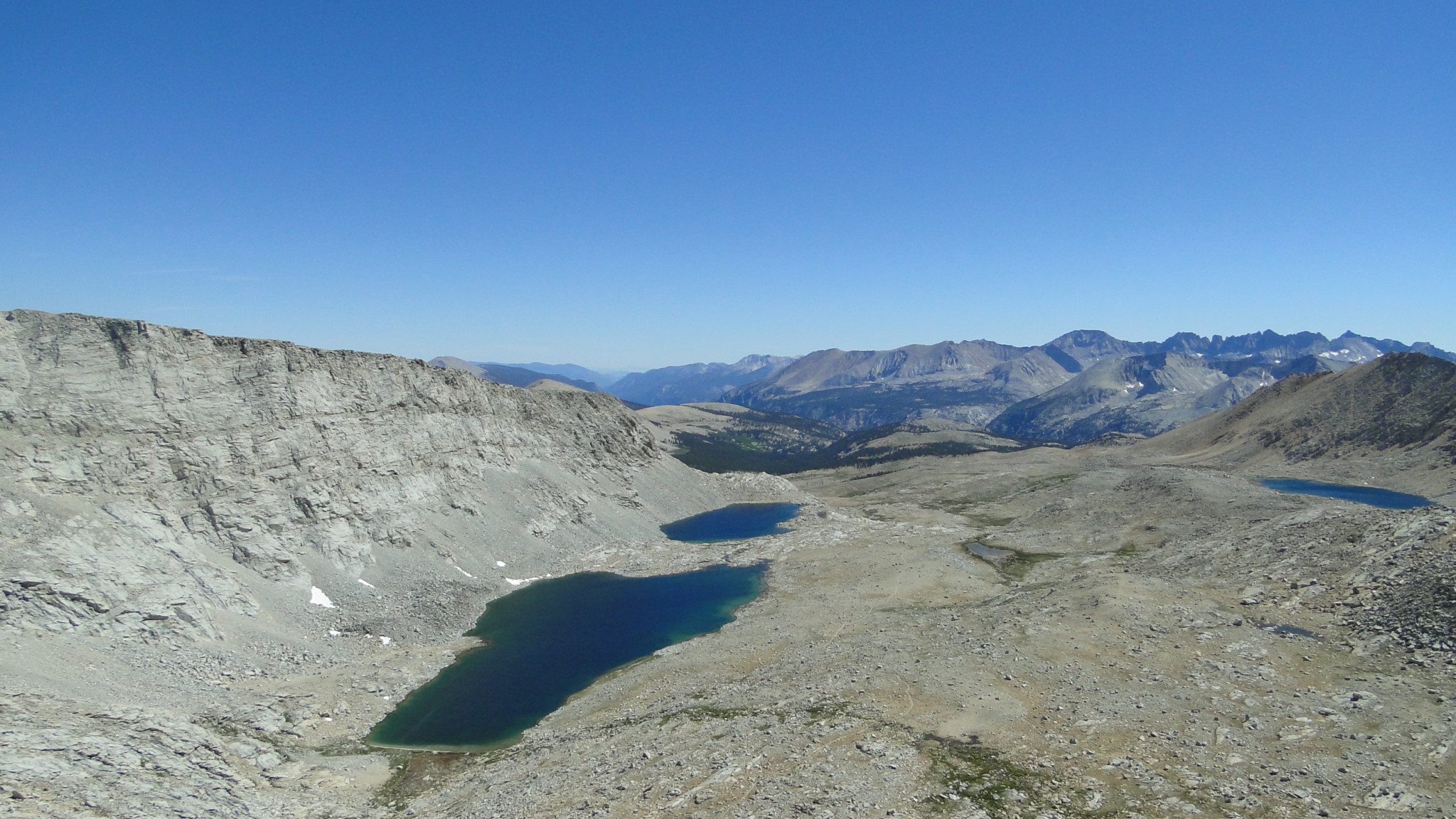
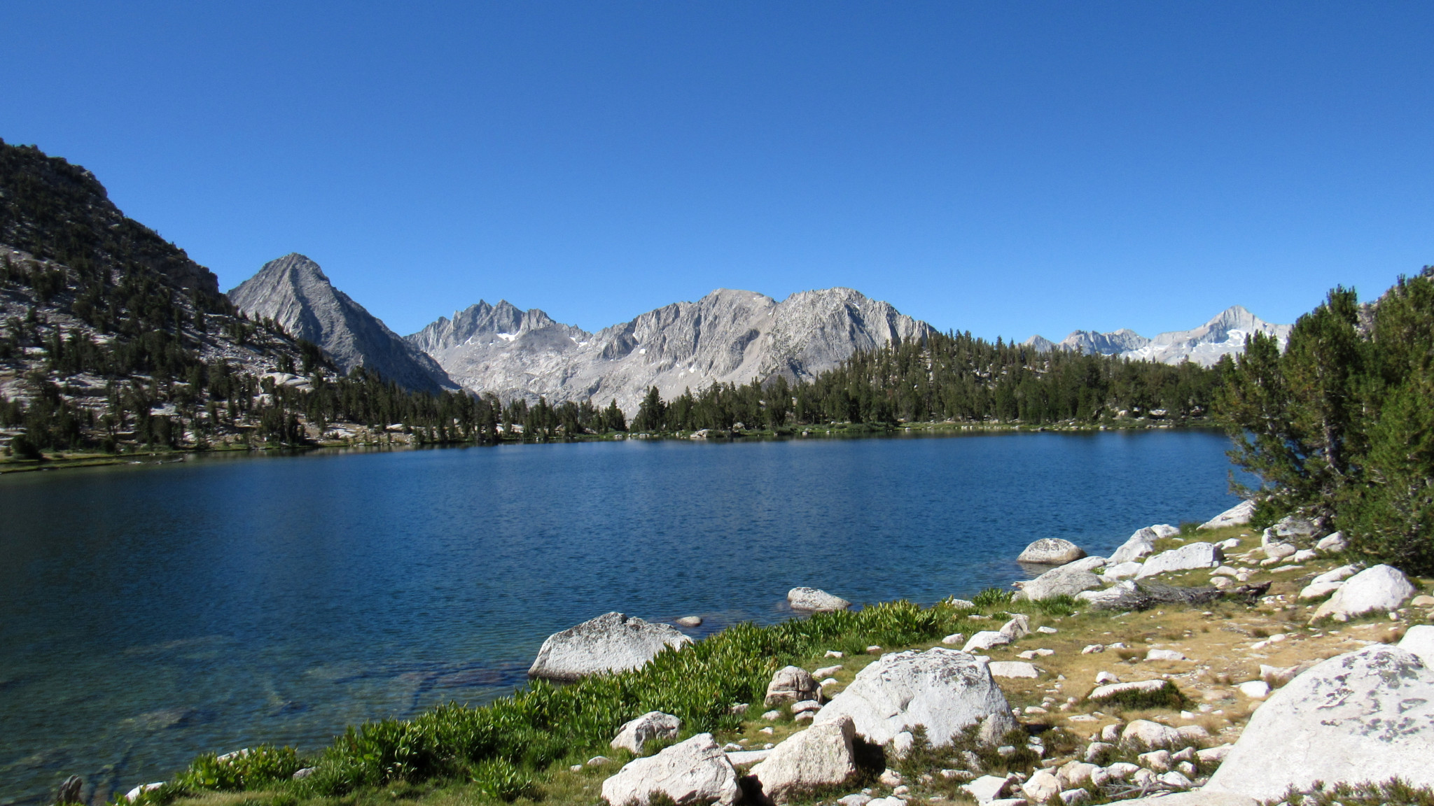
Photos

Trail photo
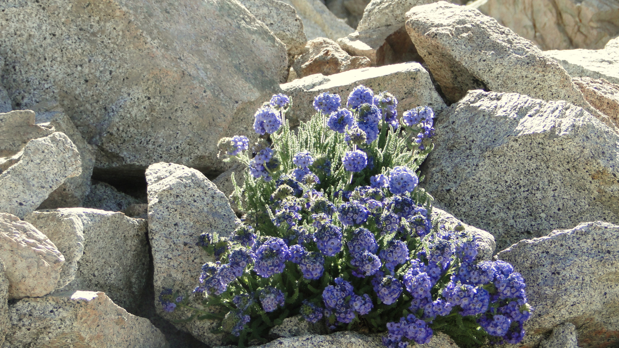
No caption provided.
Trail photo
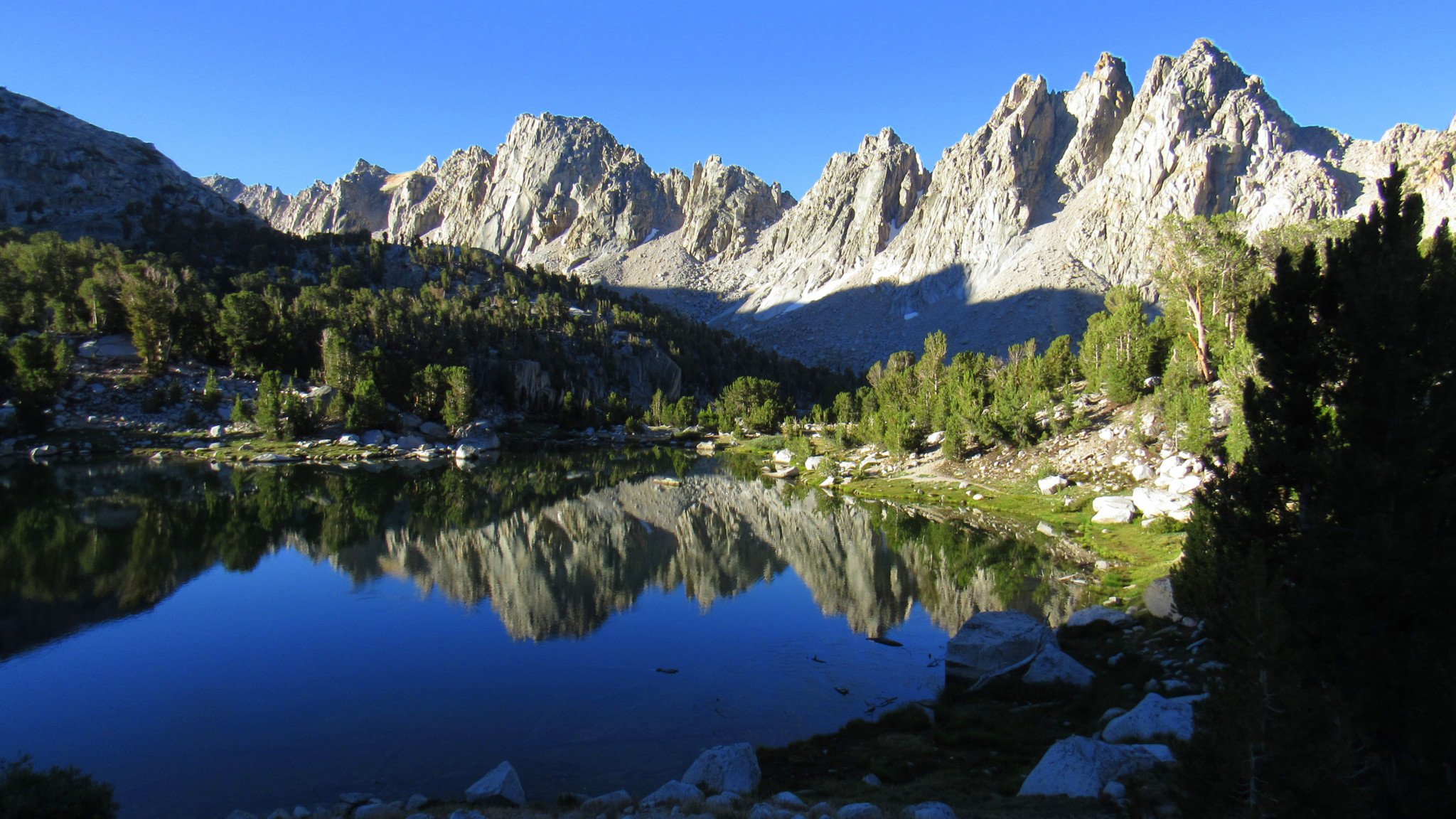
No caption provided.

Trail photo
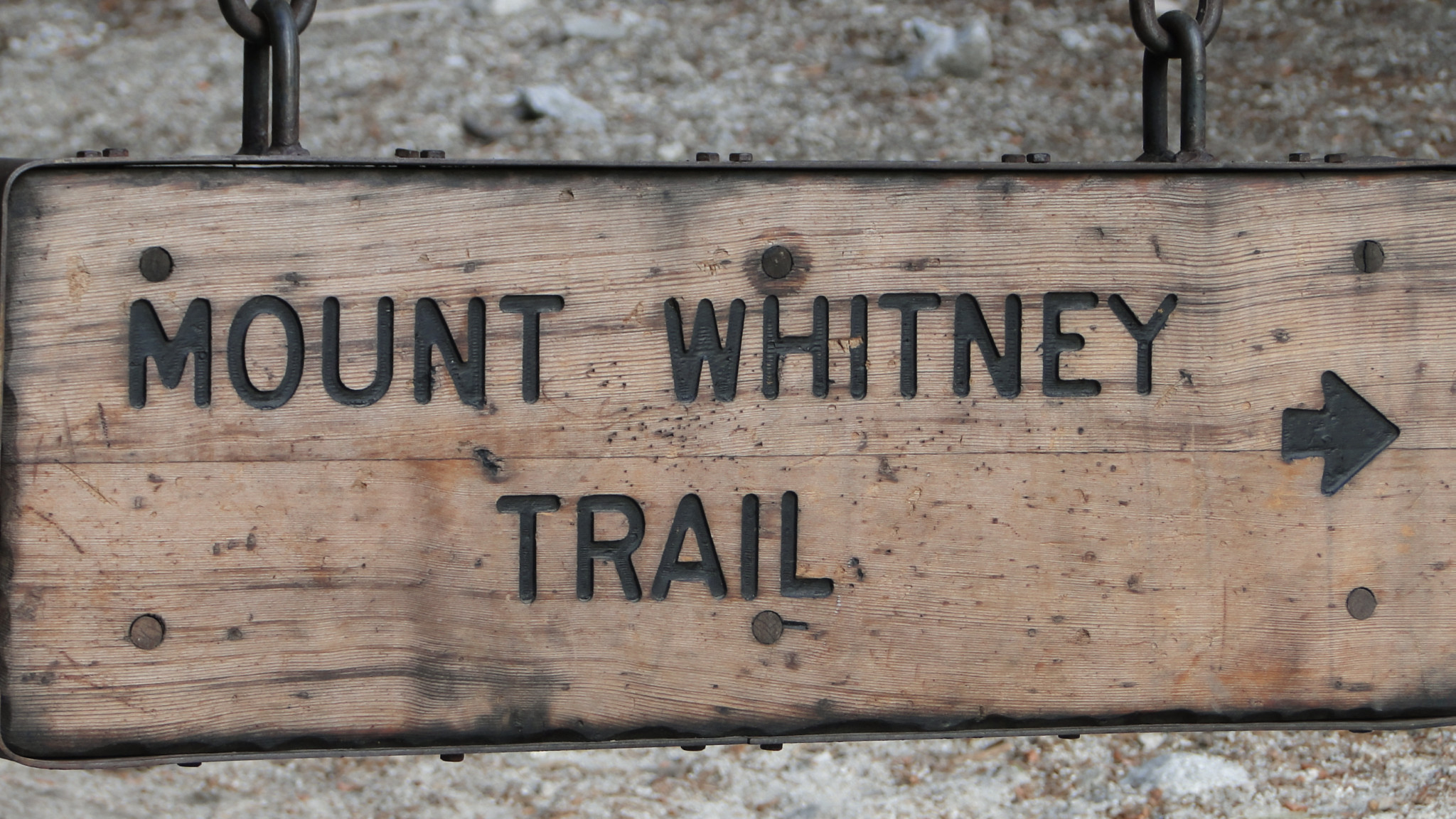
No caption provided.
Trail photo
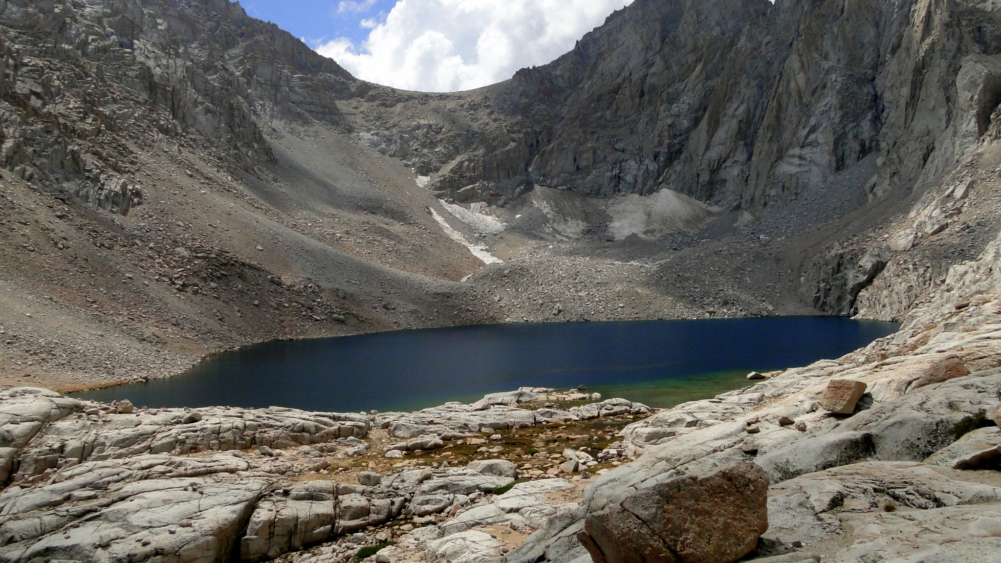
No caption provided.
Trail photo
No caption provided.

Trail photo
No caption provided.
Trail photo
No caption provided.
Trail photo
No caption provided.

Trail photo
No caption provided.

Trail photo
No caption provided.
Trail photo
No caption provided.

Trail photo
No caption provided.

Trail photo
No caption provided.

Trail photo
No caption provided.

Trail photo
No caption provided.

Trail photo
No caption provided.
Trail photo
No caption provided.

Trail photo
No caption provided.

Trail photo
No caption provided.
Trail photo
No caption provided.
Trail photo
No caption provided.
Trail photo
No caption provided.