2.8 hr
Overview
With the 1926 expansion of Sequoia National Park to include the land between the Great Western Divide to the Sierra Crest, Superintendent John White proposed a grand route connecting Crescent Meadow to Whitney Portal. Once completed, the High Sierra Trail earned the distinction of the first and last trail of this magnitude built in the Southern Sierra by the park service. This massive and historic undertaking reflect White’s desire to keep the interior of the park closed to automobile traffic, thus ensuring that future generations could enjoy the Sequoia high country in its nearly original state. Today’s High Sierra Trail remains a spectacular signature route featuring the best of Sequoia National Park. The view west from Precipice Lake Incredible though the route may be, there are some significant challenges facing prospective HST hikers. If you have already reviewed the distance and elevation data, you may be thinking, “Okay, I’m going to walk across the Sierra Nevada on a 72 mile trip carrying seven days of food on my back. What am I going to do once I get to the other side?” Such is the central challenge of this route. Here are a few suggestions for solving the dilemma Hike it there and back. This is all well and good if you have two weeks to kill and can arrange a re-supply in Lone Pine. If your only option is to go point-to-point, but you don’t want to deal with cars, take a Greyhound bus to Visalia, then utilize the Sequoia shuttle up to Lodgepole. This solves the problem of getting to Sequoia, but not of how you will get back from Whitney Portal. From the Portal, you have two choices: You can take the Lancaster Route (Green) of the Eastern Sierra Transit Authority from Lone Pine to Lancaster, and then take Metrolink from Lancaster to Los Angeles and arrange travel from there. Conversely, you can take the Reno-Lone Pine shuttle to Lee Vining, from which point you can catch the YARTS shuttle to Merced or Fresno, from which point you can catch Greyhound or Amtrak to your next destination. OR, you can tak
Trail Stats
113.6 km
5791 m
4413 m
2036 m
—
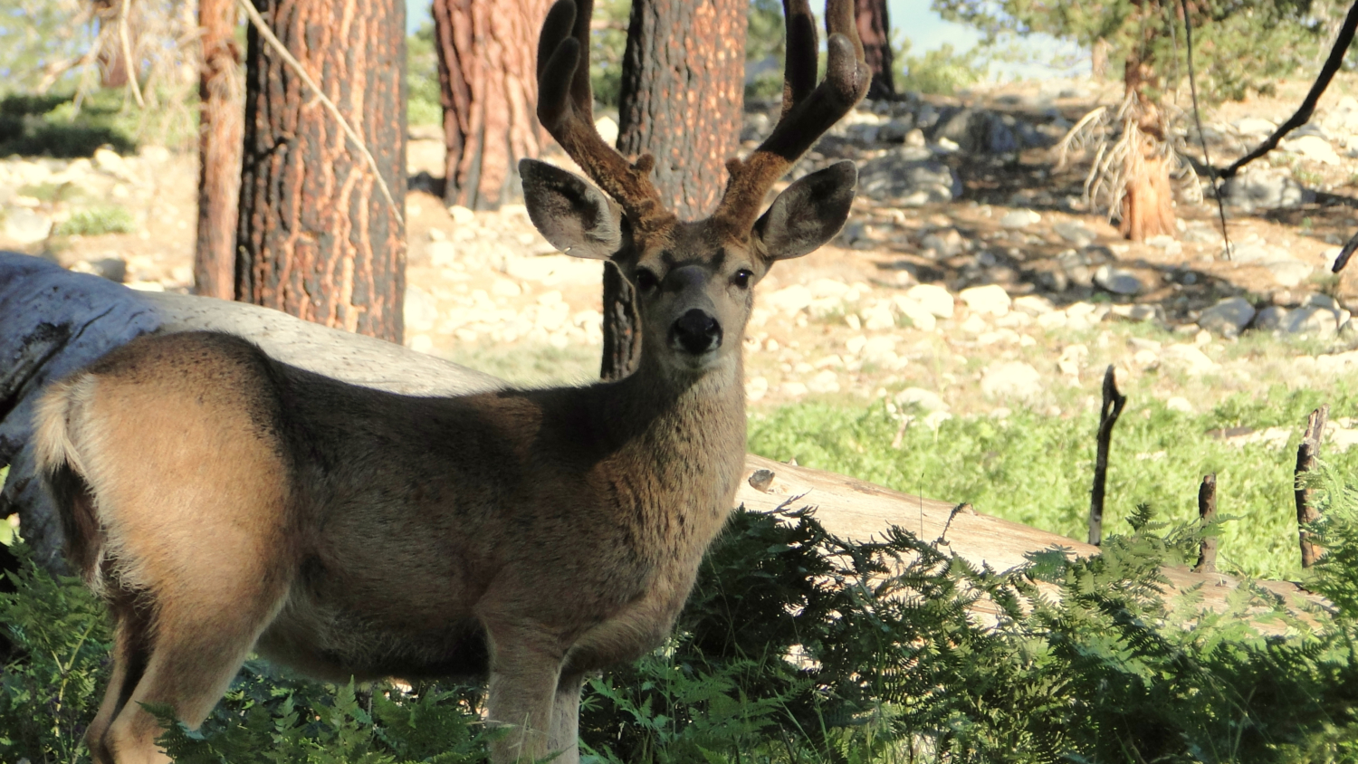
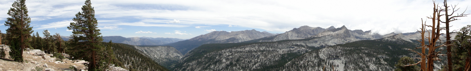
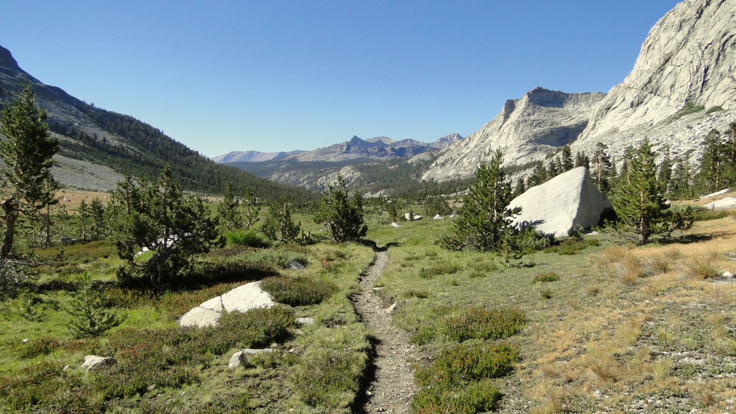
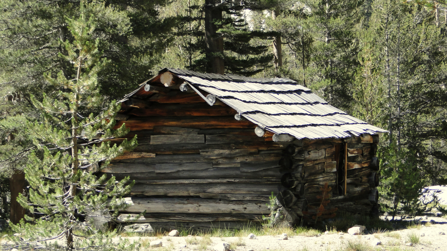
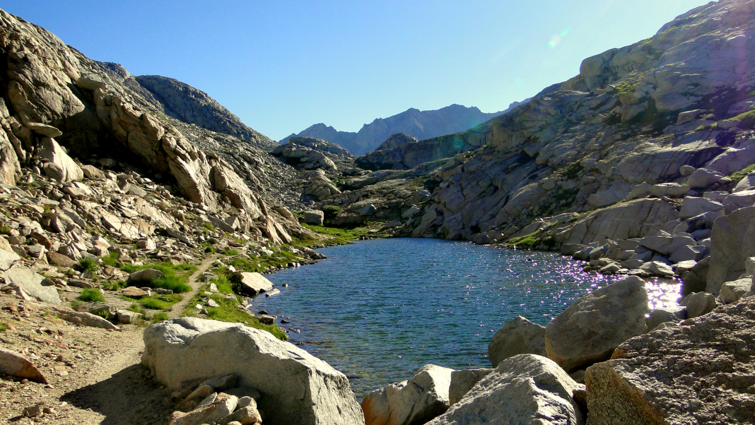
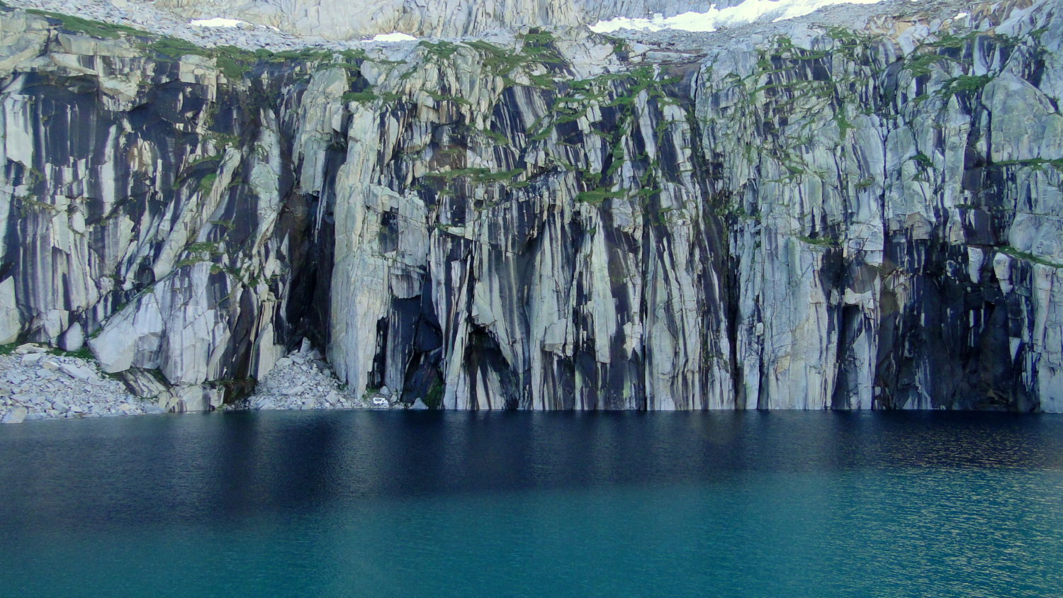
Photos
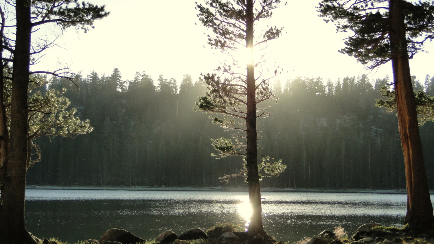
Trail photo
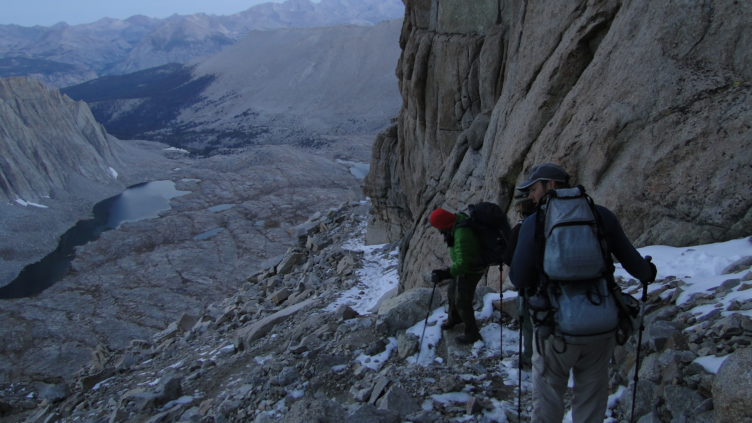
No caption provided.
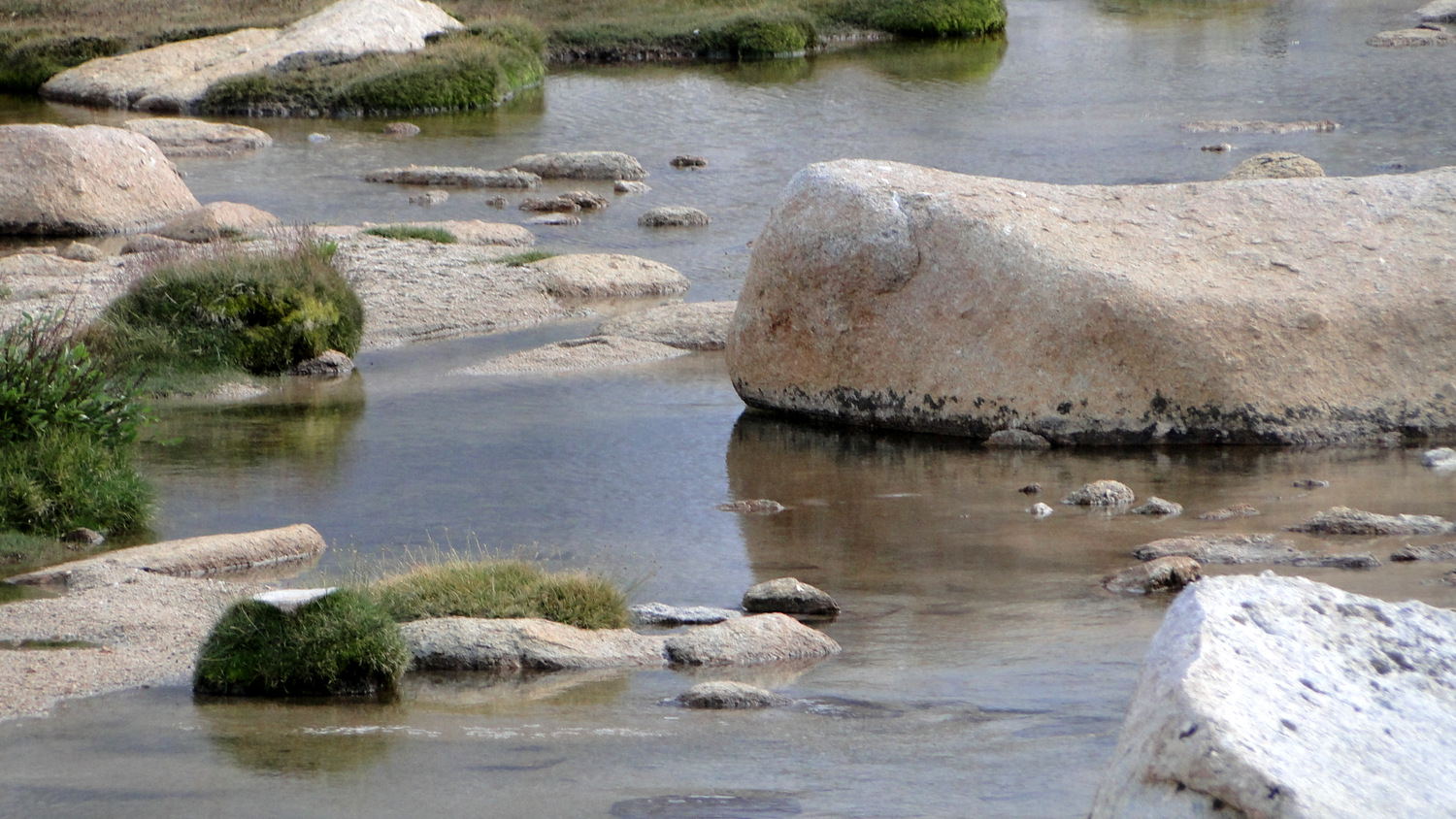
Trail photo
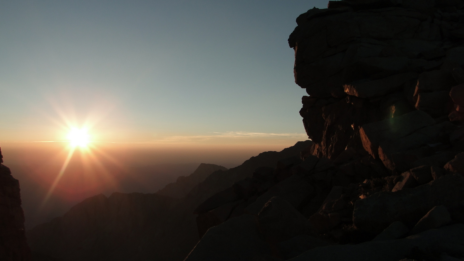
No caption provided.
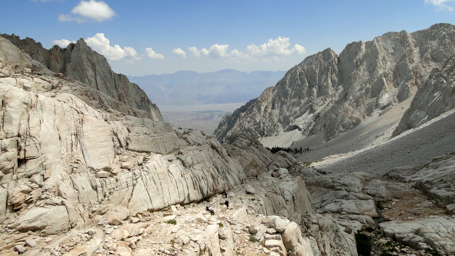
Trail photo
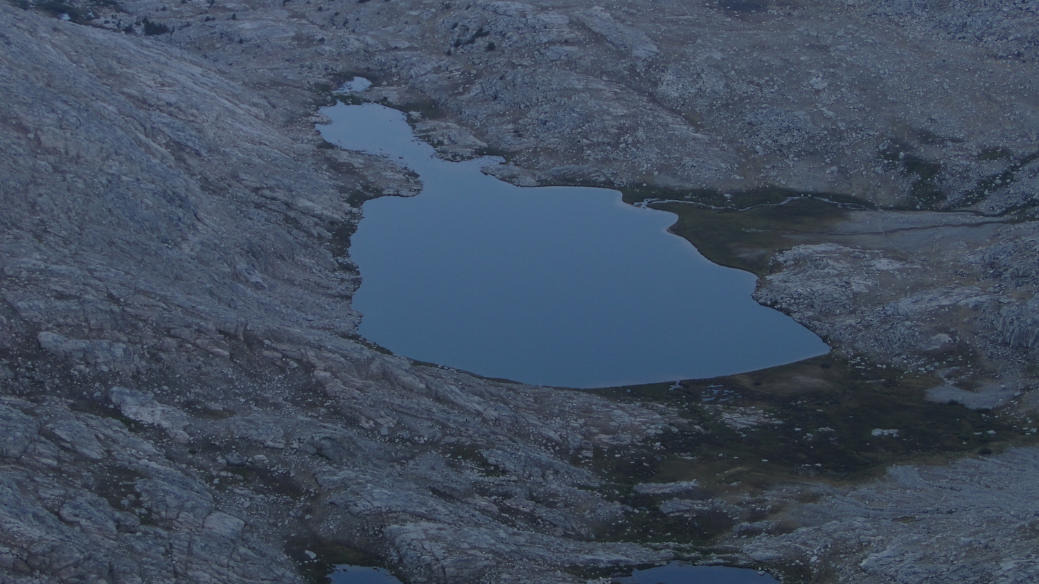
No caption provided.
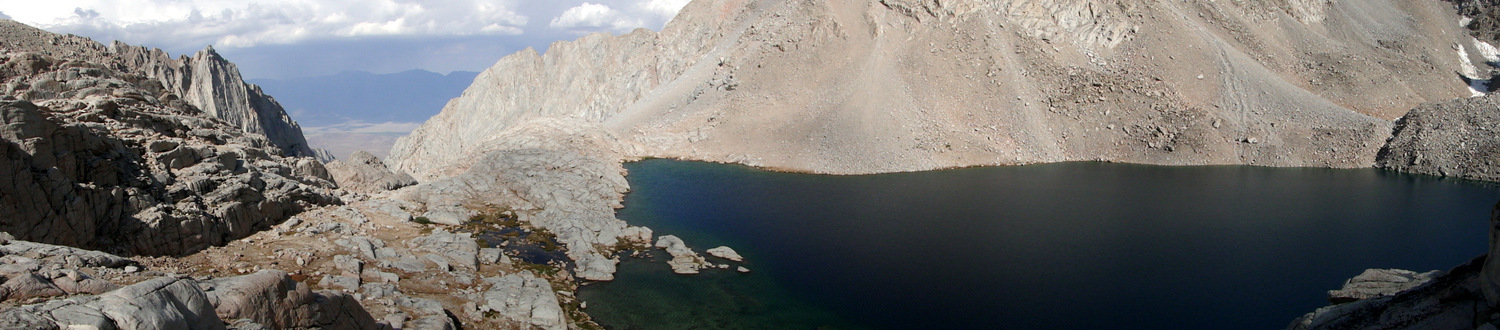
Trail photo
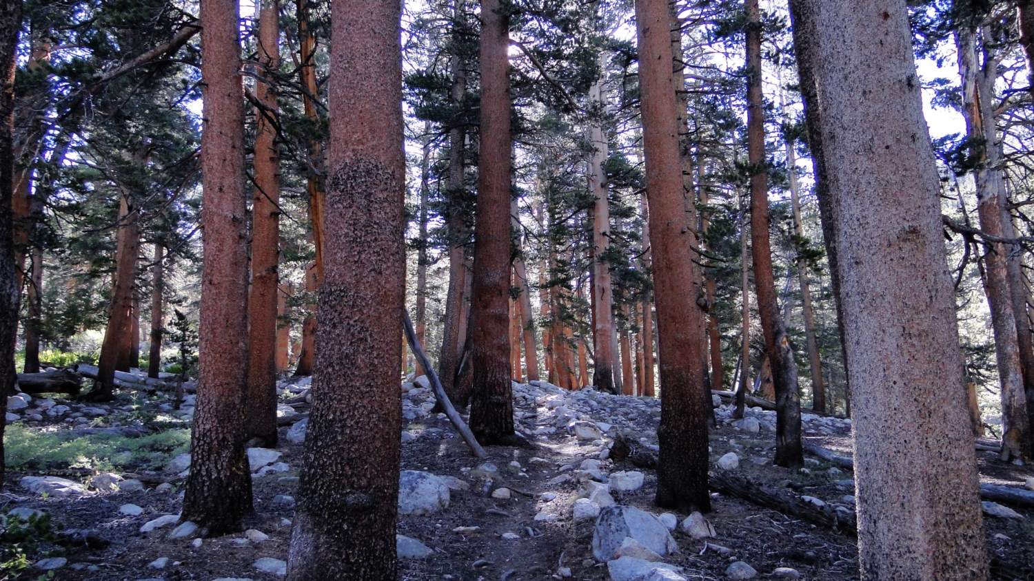
No caption provided.
Trail photo
No caption provided.
Trail photo
No caption provided.
Trail photo
No caption provided.
Trail photo
No caption provided.

Trail photo
No caption provided.
Trail photo
No caption provided.

Trail photo
No caption provided.
Trail photo
No caption provided.
Trail photo
No caption provided.
Trail photo
No caption provided.
Trail photo
No caption provided.
Trail photo
No caption provided.
Trail photo
No caption provided.
Trail photo
No caption provided.
Trail photo
No caption provided.
Trail photo
No caption provided.