3.4 hr
Overview
This trail is also known as the Druid Stones Trail. However, the local Paiute Tribe has put up a sign requesting it be referred to as "Waganobe" instead.<br><br>Getting to the top of this descent is likely the hardest part. Climbing up Coyote Valley Road (7S10), ~4500 feet of elevation, will get you to the first access point, and another 1,000 feet of climbing will get you all the way to the top. <br><br>A better option might be a shuttle and a shorter (2,600 ft) climb up Habegger Road to 11,000 feet which will provide you with some fantastic scenery, and some additional descent on fun, dirt roads to get to the top of the singletrack. <br><br>About half a mile south (uphill) of where Coyote Valley Road (7S10) crosses the West Fork of Coyote Creek a second time, the Coyote Flat Connector splits off to the east (left) in the form of a dirt road. Descend and cross Coyote Creek, and go up a short climb. After this, descend the doubletrack as it curves right past a small pass; then, shortly after, turn left for a slight climb over another pass. <br><br>From here down, the road fades away into a steep singletrack, which unfortunately soon becomes overgrown, and seems to disappear entirely as you come out into a meadow. Shortly down and across the meadow, and in a stand of aspen trees, the trail can be found again, and you'll continue on until you hit a road. <br><br>Turn right when you hit this road and go a short ways to an open meadow. You can also get to this point by taking the first cut-off when climbing Coyote Valley Road (7S10). On the north side of this meadow, the faint trail takes off to the east and begins cutting down through sagebrush. (Watch your pedals!) <br><br>Soon a left hand turn across a creek is all but impossible to miss. Fortunately, the trail you'll likely continue on dead ends shortly after, so when this happens, turn around and look for the faint path through the trees some 20 feet back up the hill on your right. The next section is a bit technical, particularly if it is overgrown and ha
Trail Stats
13.4 km
14 m
2912 m
1518 m
—
Photos
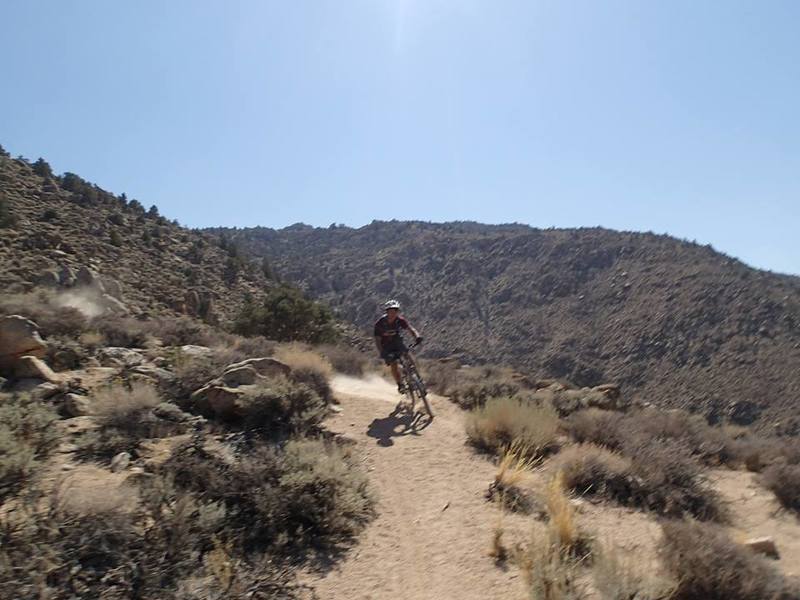
Drifting through some sandy switchbacks on the Coyote Flat Trail heading back to Bishop
Drifting through some sandy switchbacks on the Coyote Flat Trail heading back to Bishop
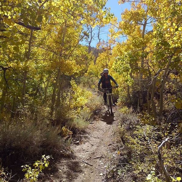
Aspens on the upper Waganobe Trail
Aspens on the upper Waganobe Trail