4.8 hr
Overview
Map of the route “Chiquito Falls Trail”: 9.57 mi, 2,247 ft of climbing and 2,260 ft of descent, elevation between 1,621 ft and 2,628 ft, time 04:42:44. It is a loop that starts and ends at 33.61358, -117.42717 (latitude, longitude).
Trail Stats
14.9 km
1171 m
801 m
494 m
—
Photos

Trail photo
No caption provided.
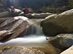
Upper Chiquito Falls
No caption provided.

Climbing up to Chiquito Falls
No caption provided.

Trail photo
No caption provided.

San Juan Falls
No caption provided.

San Juan Loop Trailhead
No caption provided.

Trail photo
No caption provided.