1.8 hr
Overview
Map of the route “Ridgeline Loop to Barbara’s Lake”: 3.12 mi, 400 ft of climbing and 390 ft of descent, elevation between 305 ft and 594 ft. It is a loop that starts and ends at 33.59528, -117.75975 (latitude, longitude).
Trail Stats
5.0 km
193 m
185 m
93 m
—
Photos
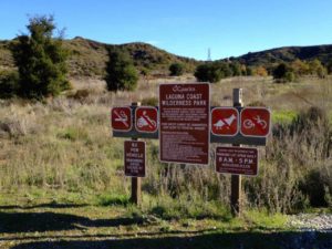
IMG_4958
No caption provided.
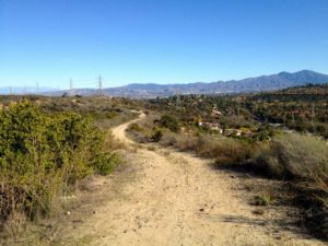
Trail photo
No caption provided.
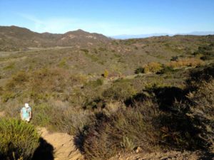
Trail photo
No caption provided.
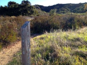
Trail photo
No caption provided.
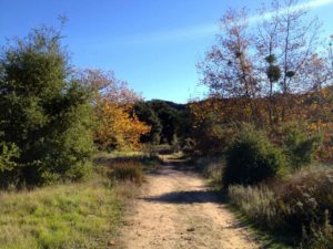
Trail photo
No caption provided.
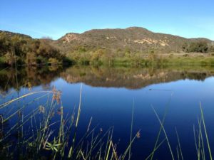
Trail photo
No caption provided.

Trail photo
No caption provided.