2.9 hr
Overview
Lumsden Road is a Forest Service doubletrack dirt road that brings you from the top of the Tuolumne Canyon down into the canyon and right next to the river. This road is maintained by the Forest Service and mostly used by Rafting and Fishing guiding companies to get down on the river. <br><br>The road is a great way to climb out of the cayon or go down to get right next to the Tuolumne river. It's 5 miles long and slowly ascends along the river and the canyon side. From the bottom, the grade is very mellow and at the top it gets steeper and steeper. I suggest using this as an uphill and going downhill via the trail behind Buck Meadows.
Trail Stats
8.3 km
502 m
926 m
437 m
—
Photos
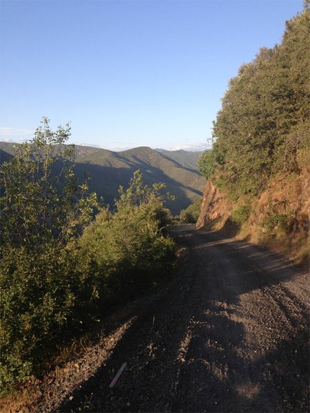
View of Lumsden Road half way down.
View of Lumsden Road half way down.
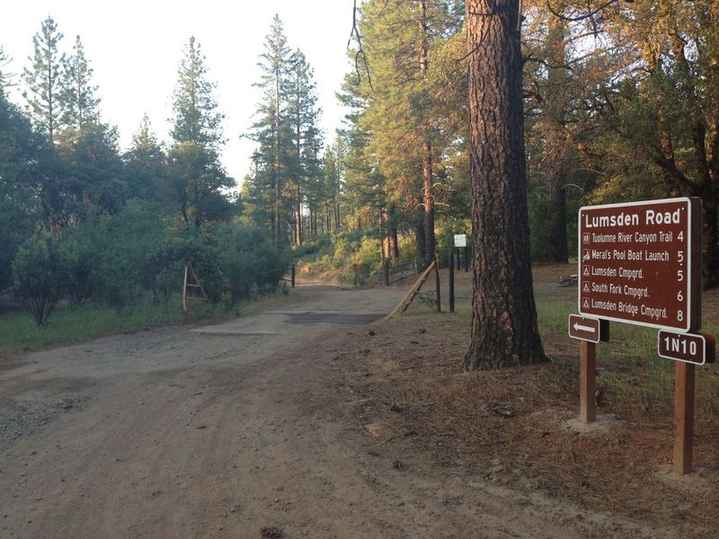
Lumsden Trailhead
Lumsden Trailhead
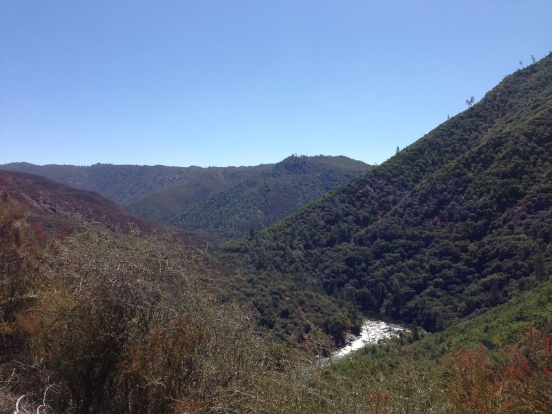
View back at the Tuolumne river and lumsden road on the right side of the river canyon.
View back at the Tuolumne river and lumsden road on the right side of the river canyon.
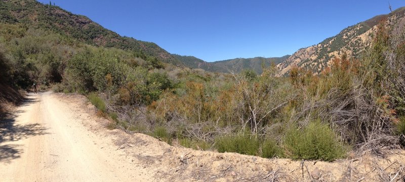
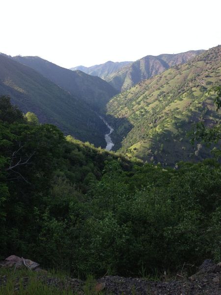
Panorama from lumsden road riding up. Here the grade up the canyon is very mellow but it gets steeper above. You can slightly make out the road going up the canyon in the photo.
Panorama from lumsden road riding up. Here the grade up the canyon is very mellow but it gets steeper above. You can slightly make out the road going up the canyon in the photo.
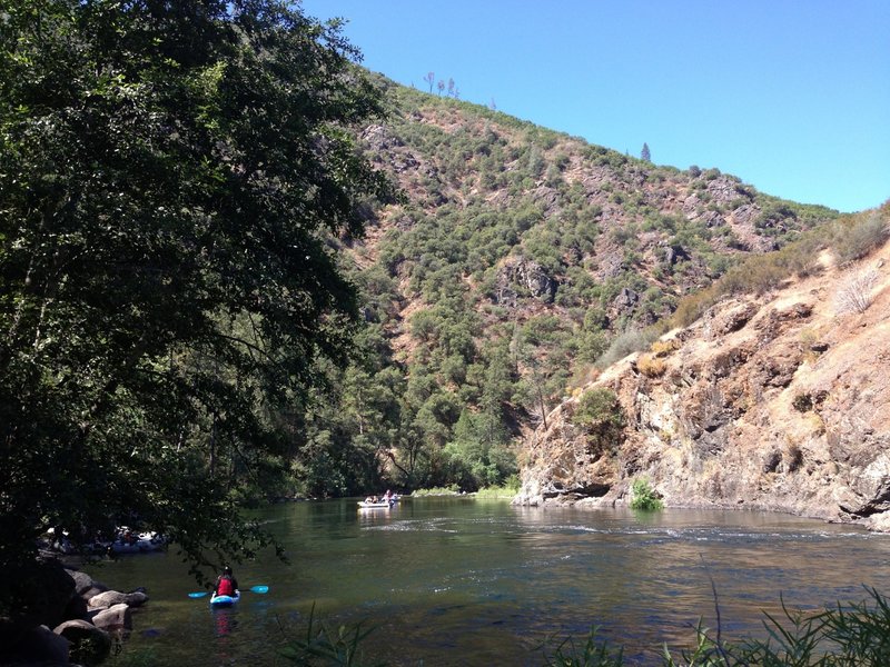
View of rafters taking off at the bottom of Lumsden road.
View of rafters taking off at the bottom of Lumsden road.
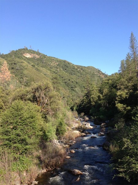
Toulumne River at the bottom of the ride
Toulumne River at the bottom of the ride
View of Tuolumne River from Lumsden Road
View of Tuolumne River from Lumsden Road