7.9 hr
Overview
Follow the jeep road west, and almost immediately you'll see a road to your left. Continue straight west for 1.1 miles and you'll see a large Forest Service sign with a map of your trip. This is where your singletrack starts. <br><br>Take a left on the singletrack, and you'll quickly gain just over 500 feet in 1.6 miles (2.7 miles from the start). The trail now drops down the west side of the ridge, and this is where the technical section starts, so be careful. Continue for 1.8 miles (4.5 miles) where you'll encounter a singletrack coming in from your right. This singletrack takes you to the Peter Grubb on the Pacific Crest Trail (no bikes). This is a good shelter to know about if you get stuck up here in bad weather.<br><br>Continue for 1 mile (5.5 miles) and you'll come to another fork in the trail. If you take a left, you can ride to Sand Ridge Lake, which is only 1/4 mile off of your path, and worth the view. Retrace your path, and take a left at the fork in the trail. Continue for 3.2 miles (9.2 miles) and you'll cross directly over a jeep road. <br><br>Continue over the jeep road, and the trail continues past Hole in the Ground Lake which you'll never see, and to my knowledge, has no trail to it. Anyway, continue on the singletrack for .8 miles (10 miles) where you'll again come to a fork in the trail. If you take a right, you'll travel .1 miles (10.1 miles) to Lower Lola Montez Lake. This is a great spot to take a break. <br><br>Once refreshed, retrace your steps back to the main trail and take a right. Continue on the singletrack and in .4 miles (10.6 miles) the singletrack will turn into a jeep road. Follow the jeep road for 1 mile (11.6 miles), and you'll see a singletrack drop off to the left. This is probably the most technical part of this ride. It drops 350 feet in 1/2 mile (12.1 miles) and is very loose, and rocky. <br><br>At this point you drop out on the same jeep road you left above. Follow this jeep road for .9 miles (13 miles) where again, you'll see a singletrack veer off to the left. Take t
Trail Stats
27.2 km
634 m
2451 m
1967 m
—
Photos
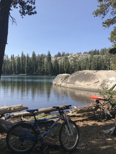
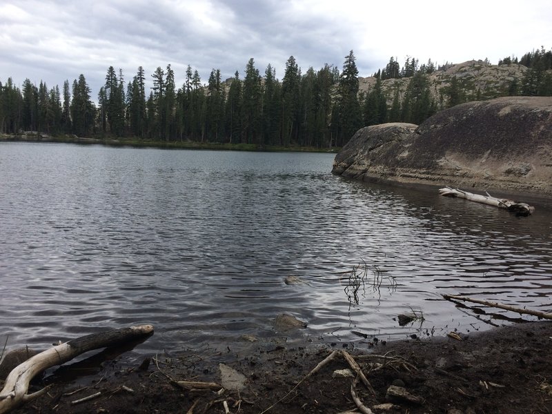
What a great place for a swim! Beautiful!
What a great place for a swim! Beautiful!
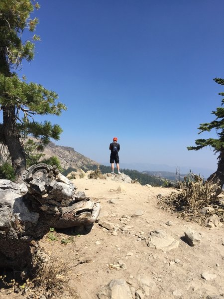
Admiring the vista point. Fabulous views.
Admiring the vista point. Fabulous views.
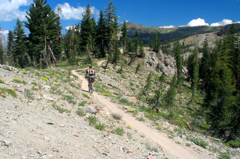
Looking east from the top of the switchbacks
Looking east from the top of the switchbacks
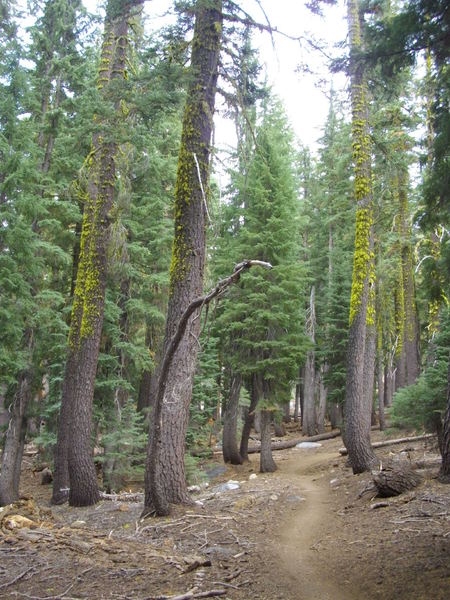
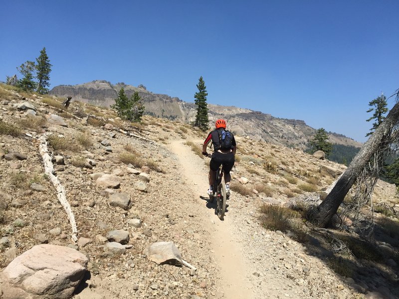
Perfect singletrack that makes you feel like youre in the backcountry
Perfect singletrack that makes you feel like youre in the backcountry
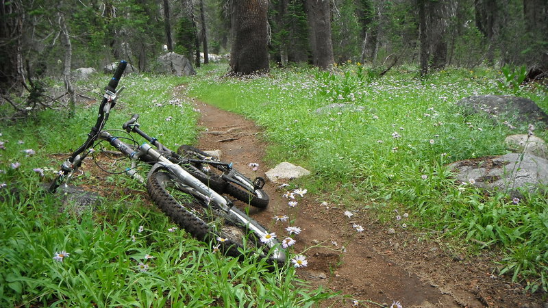
Smelling the daisies along Hole-in-the-Ground Trail. Had a downpour early in the ride, and everything was damp and tacky. Beautiful conditions.
Smelling the daisies along Hole-in-the-Ground Trail. Had a downpour early in the ride, and everything was damp and tacky. Beautiful conditions.
Nice stop for lunch at Lower Loal Montez Lake
Nice stop for lunch at Lower Loal Montez Lake
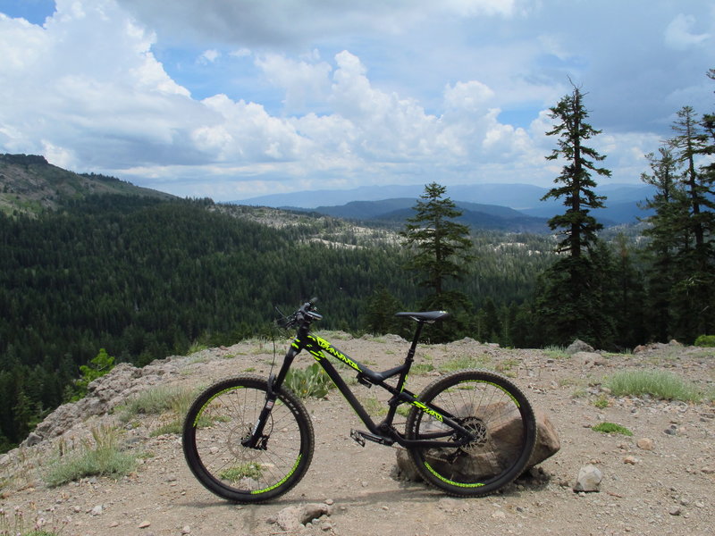
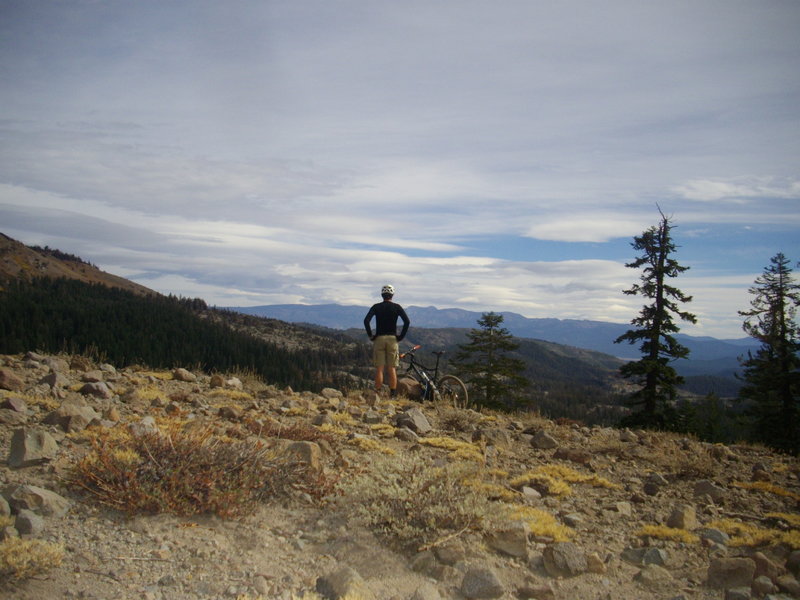
Looking out towards Donner Lake
Looking out towards Donner Lake
Riding at the base of Andesite Peak after a tough forest climb on the Hole in the Ground Loop.
Riding at the base of Andesite Peak after a tough forest climb on the Hole in the Ground Loop.
Some tough climbing rewarded by the great scenic sections
Some tough climbing rewarded by the great scenic sections