7.4 hr
Overview
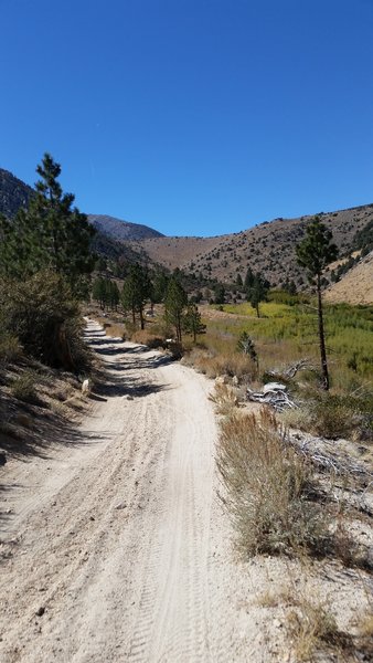
Park at the trailhead off of Lower Rock Creek Road just west of Rock Creek. This trailhead has recently been improved and includes signage and a portapotty. Many folks chose to ride up the road to the upper trailhead, or at least to the upper two sections. If you choose to ride up the trail, walk back to the east past a house and look for signs to a singletrack trail that will take you past the private homes.<br><br>At the road crossing, for the true XC experience, jump on the trail as it leaves the unpaved parking pullout and ride up to the next road crossing. The trail jogs downhill slightly, crossing the creek on the pavement, before heading uphill again towards the upper trailhead.<br><br>The upper two sections (see map) are fast and fun with aspen groves, moderate rock gardens, bridges, and the lower gorge is adventure biking at its best with some gnarly rock gardens, baby heads, and some terrific scenery.
Trail Stats
25.6 km
585 m
2095 m
1510 m
—
Photos
View from halfway down the first section of the Lower Rock Creek Trail - lots of fun!
View from halfway down the first section of the Lower Rock Creek Trail - lots of fun!
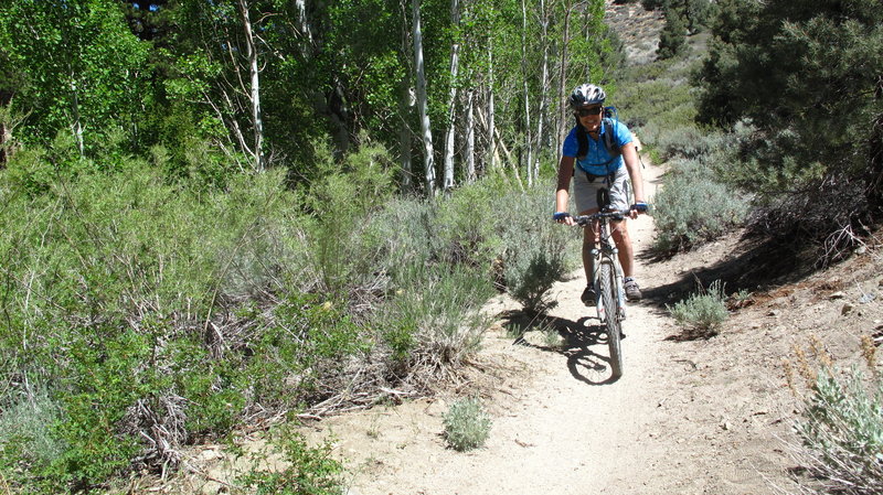
Rider on the trail.
Rider on the trail.

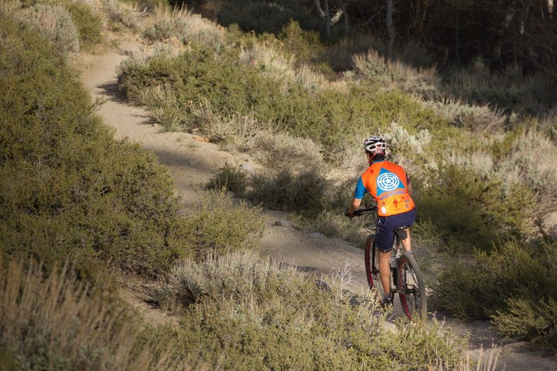
Fast fun on the middle section.
Fast fun on the middle section.
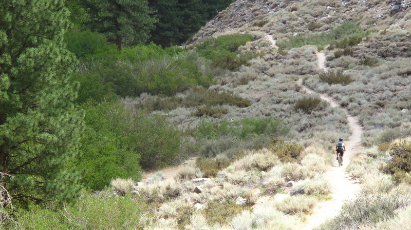
The first section of Lower Rock Creek Trail is buff with some fast, fun sections through the trees.
The first section of Lower Rock Creek Trail is buff with some fast, fun sections through the trees.
Looking back up the trail after a steep descent. Note the trail in the center of the picture in the distance.
Looking back up the trail after a steep descent. Note the trail in the center of the picture in the distance.
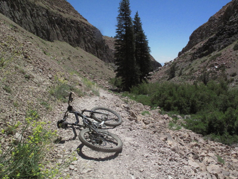
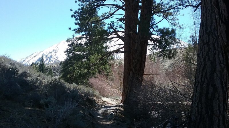
Enjoy this view half way down the third section of Lower Rock Creek Trail, right after a brief (for most of us) hike-a-bike section.
Enjoy this view half way down the third section of Lower Rock Creek Trail, right after a brief (for most of us) hike-a-bike section.
The beginning of the third section of Lower Rock Creek Trail, heading downstream, encompasses a roller section with a couple surprise curves and some rocks.
The beginning of the third section of Lower Rock Creek Trail, heading downstream, encompasses a roller section with a couple surprise curves and some rocks.
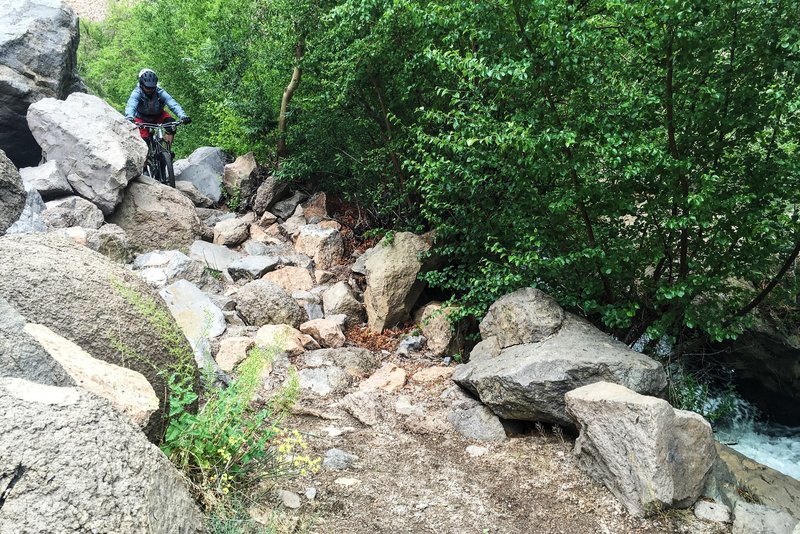
Navigating a chundery section of Rock Creek.
Navigating a chundery section of Rock Creek.
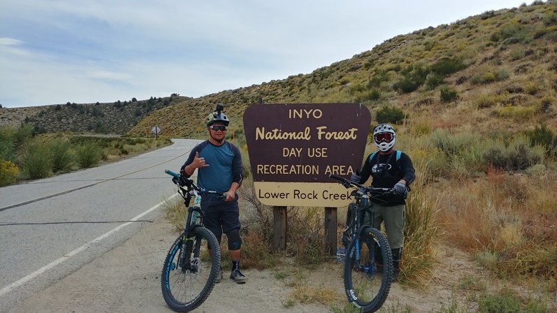
Our first time hitting this trail! We enjoyed and loved it! One of the best singletrack trails we've ridden!
Our first time hitting this trail! We enjoyed and loved it! One of the best singletrack trails we've ridden!