18.0 hr
Overview
Climb Armstrong Pass Trail, take a right on the Tahoe Rim Trail: Heavenly Mountain - Big Meadow, which starts as a hearty climb and has lots of fun downhill as you approach the top of Toads. Continue past Toads (Saxon Creek) and enjoy more downhill on the TRT until a left turn on the trail that heads to Grassy Lake/Hwy 89/Luther Pass. After a short and fun descent, you hit Hwy 89 and take a left. <br><br>Ride the highway for about 2 mi to the little known "Cattle Trail", which is just before the "Luther Pass 7,740" sign. The trailhead is off to the right (west of 89) and follows an old paved road for 0.1 mi... then a right turn on the newly rerouted (2016) trail. Look for the official wood trailhead post. Once on the trail, you have a climb to Scott Lake. You pass through one USFS gate (please close it upon passing through... cattle graze there). The trail spits you out on a fire road, which you take a right on and climb a little bit to the very nice Scott Lake... a good place for a rest or a swim. <br><br>Leaving Scott Lake, you continue on the original dirt road up to the start of the Scott Lake Trail, which is an incredible 3-mi descent to Big Meadow. When you hit the junction (TRT), take a left and cross a small bridge before passing through the huge "Big Meadow." <br><br>Now you have a healthy climb on the TRT to the top, before descending down to the next junction, where you'll go right down the Christmas Valley Trail. A bonus option would be to continue left at the junction and climb up to the lovely Round Lake and then come back down. On the way down Xmas Valley, you could also take a short but technical out and back trip to the beautiful, rockbound Dardanelle Lake. <br><br>Christmas Valley Trail is an awesome descent with tons of technical riding, flow, views, granite, a creek. Upon exiting Xmas Valley, you briefly ride the paved road to the left and cross a bridge before taking the first left option towards Hawley Grade Trail. If you need water, the creek on your left is a good place to FIL
Trail Stats
62.3 km
1430 m
2873 m
1740 m
—
Photos
Sketchy shoulder of Hwy 50 (1 mile) since we cannot ride a 1/8 mile of the Pacific Crest Trail. Be CAREFUL!!
Sketchy shoulder of Hwy 50 (1 mile) since we cannot ride a 1/8 mile of the Pacific Crest Trail. Be CAREFUL!!
Start of Lovers Leap Descent
Start of Lovers Leap Descent
Views on the Ascent
Views on the Ascent
Some challenging but rideable steps
Some challenging but rideable steps
Lovers Leap Trail
Lovers Leap Trail
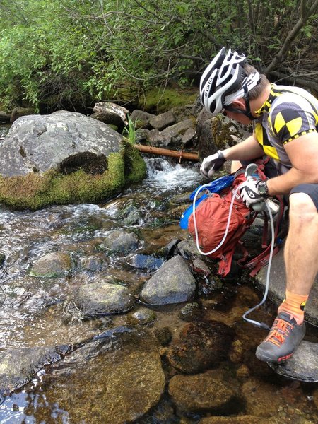
Filtering water from the Upper Truckee River before the next climb and final stretches
Filtering water from the Upper Truckee River before the next climb and final stretches
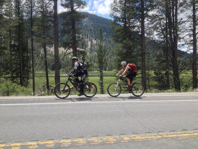
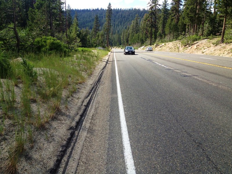
Short and flat section of Hwy 89 by Grassy Lake to connect to Luther Pass Cattle Trail
Short and flat section of Hwy 89 by Grassy Lake to connect to Luther Pass Cattle Trail
Spring riding in South Lake Tahoe.. the snow melt overflowing the trail!
Spring riding in South Lake Tahoe.. the snow melt overflowing the trail!
Mostly easy pedaling up.
Mostly easy pedaling up.
Climbers! Dont throw rocks off the cliff.
Climbers! Dont throw rocks off the cliff.
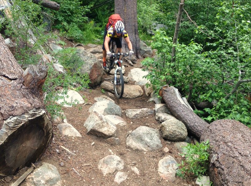
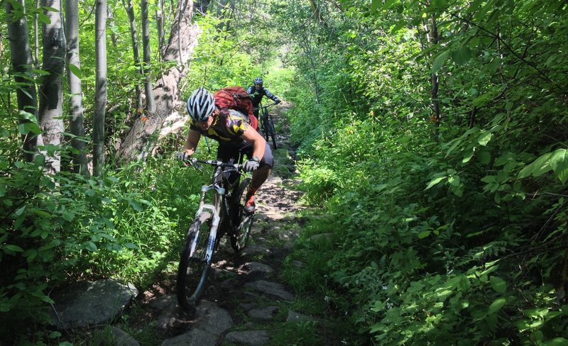
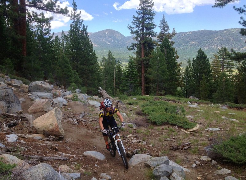
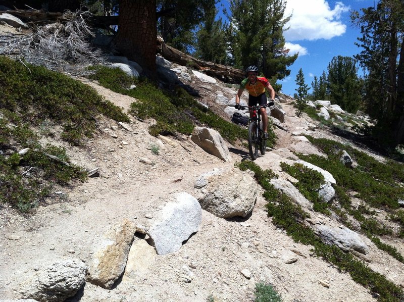
Big rocks on the TRT. Ride it, don't slide it!
Big rocks on the TRT. Ride it, don't slide it!
Fun chunk on the Grassy Lake connector
Fun chunk on the Grassy Lake connector
Last TRT climb before fun descent!
Last TRT climb before fun descent!
Scott Lake fun... Waterhouse Peak in the background
Scott Lake fun... Waterhouse Peak in the background
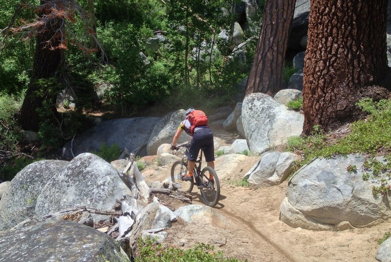
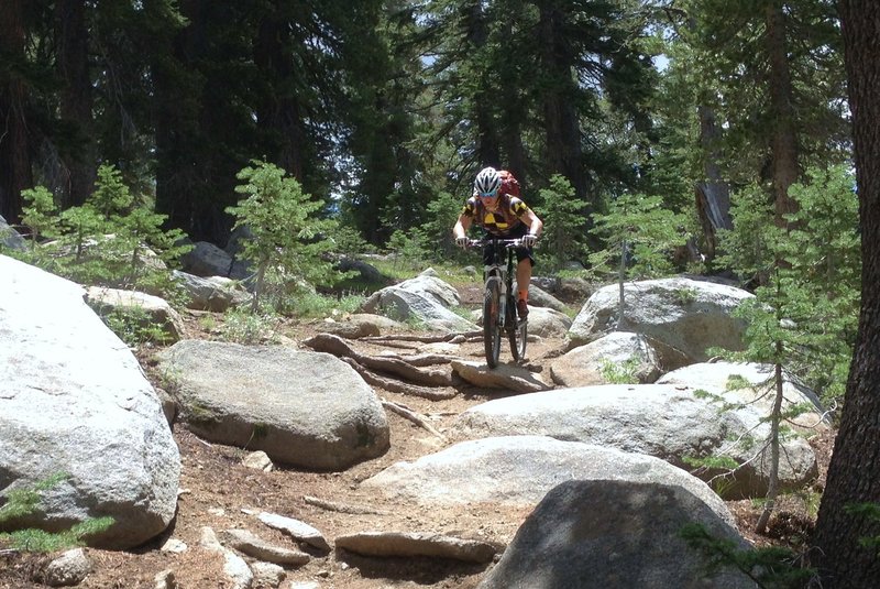
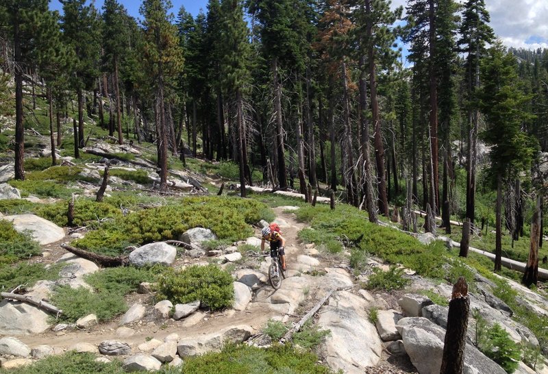
Scott Lake chunk
Scott Lake chunk
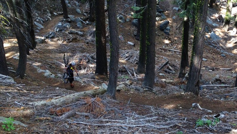
Top of Hawley Grade Trail... short hike-a-bike
Top of Hawley Grade Trail... short hike-a-bike
Last view of Lake Tahoe
Last view of Lake Tahoe
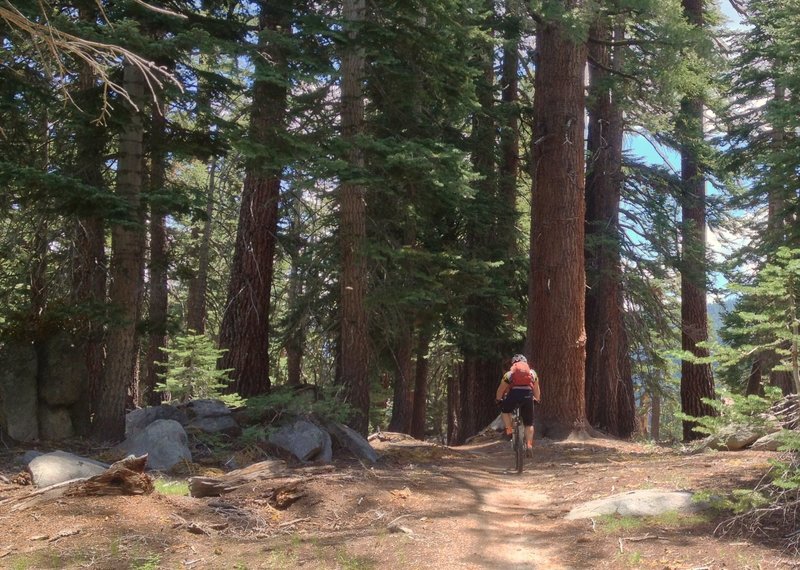
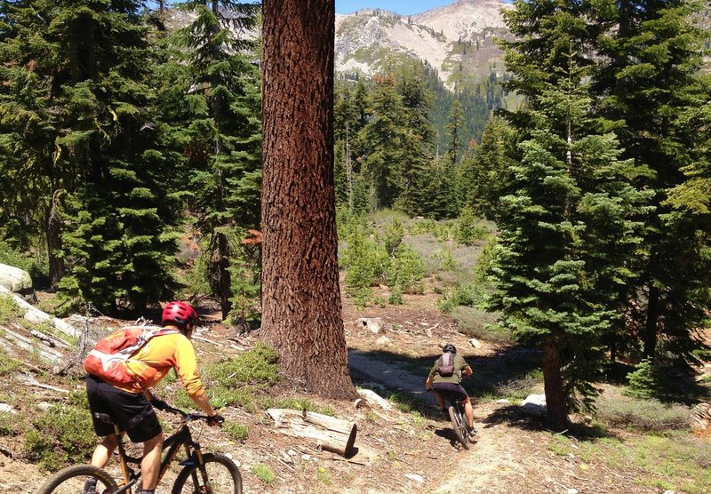
Big trees on the TRT
Big trees on the TRT
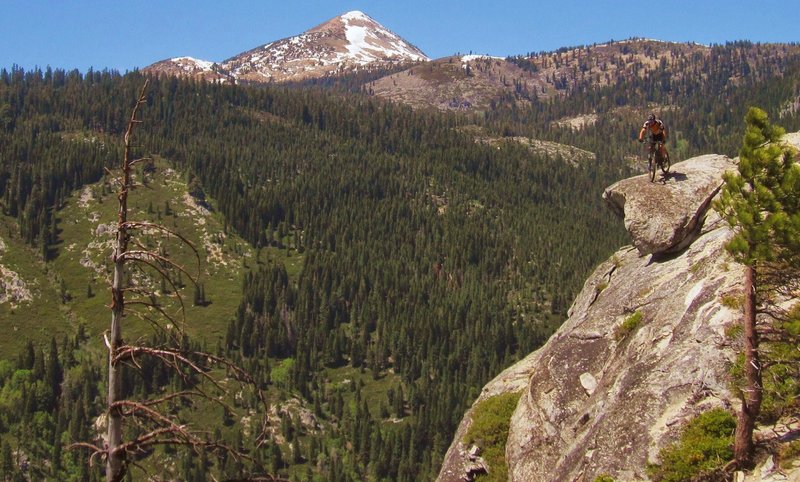
Lovers Leap Vista
Lovers Leap Vista
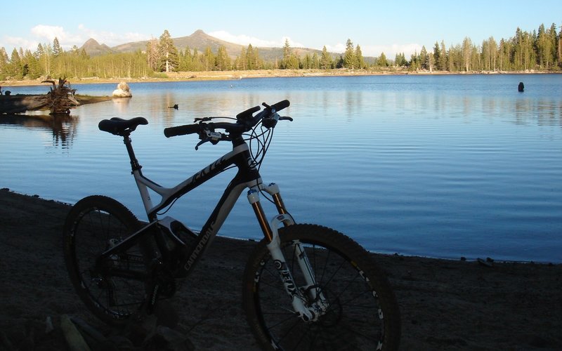
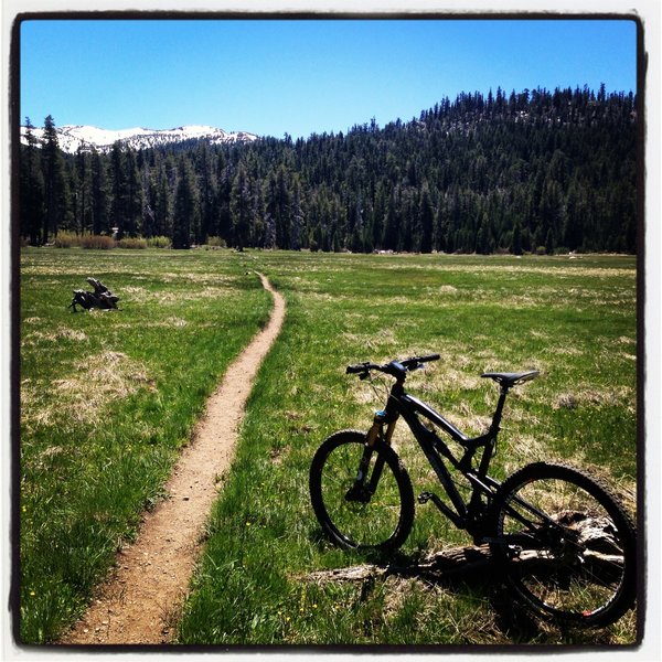
Beautiful Scott Lake
Beautiful Scott Lake
Fast descent... know that hikers and equestrians come up this trail!
Fast descent... know that hikers and equestrians come up this trail!
Almost to the bottom of the Christmas Valley Trail.
Almost to the bottom of the Christmas Valley Trail.
Final hike-a-bike on Pony XP before reaching the top of Lovers Leap. (Not very long)
Final hike-a-bike on Pony XP before reaching the top of Lovers Leap. (Not very long)
final push!
final push!
Approaching a nice bridge on the Pony XP
Approaching a nice bridge on the Pony XP
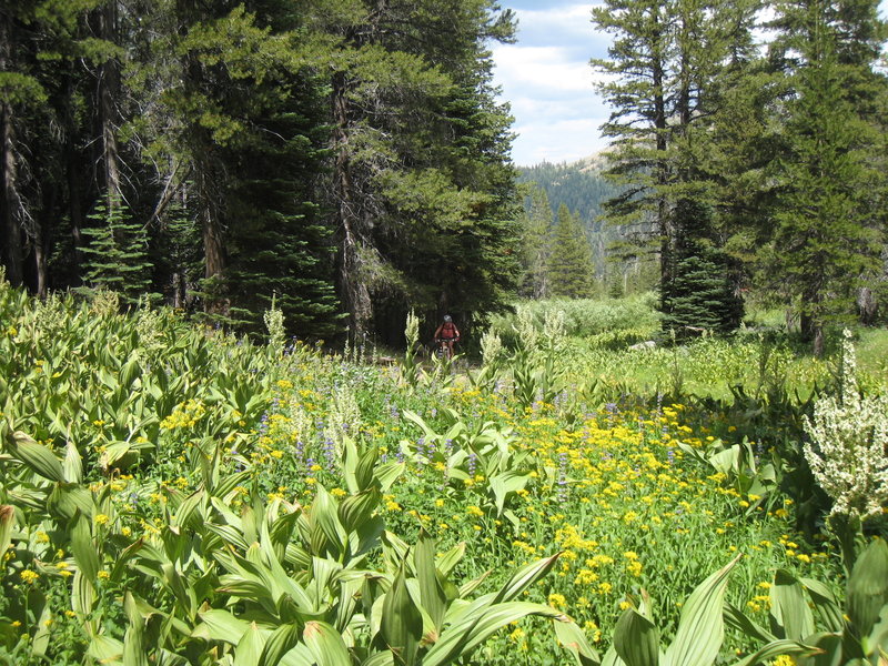
Through the meadow, one more climb to go.
Through the meadow, one more climb to go.
This was pretty much the top of the last big climb before going down hill.
This was pretty much the top of the last big climb before going down hill.
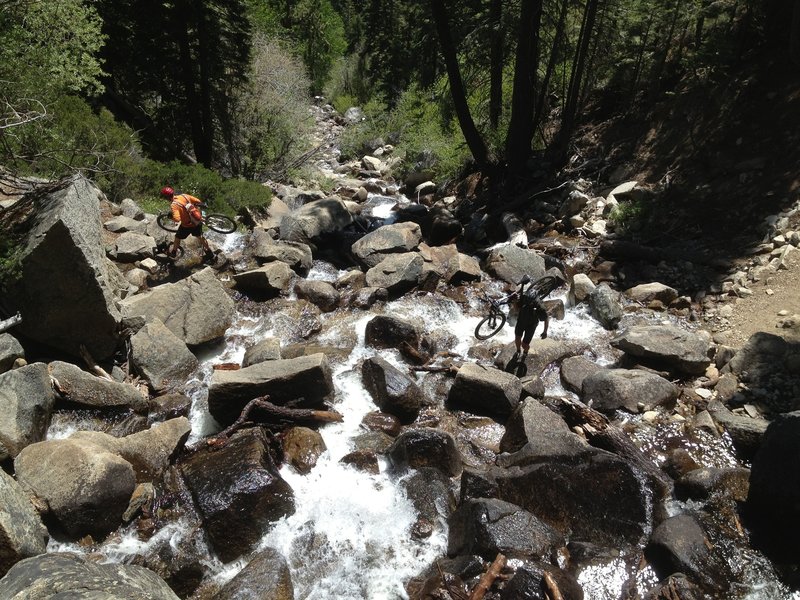
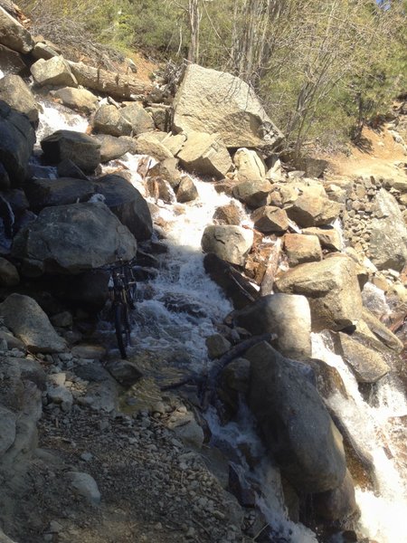
Crossing Hawley Falls when it is running pretty good.
Crossing Hawley Falls when it is running pretty good.
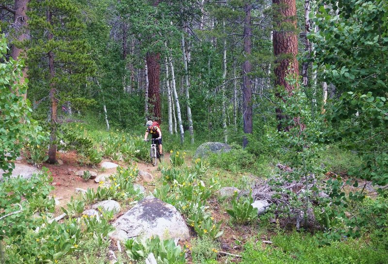
Leaving an aspen grove
Leaving an aspen grove
Approaching Big Meadow/TRT
Approaching Big Meadow/TRT
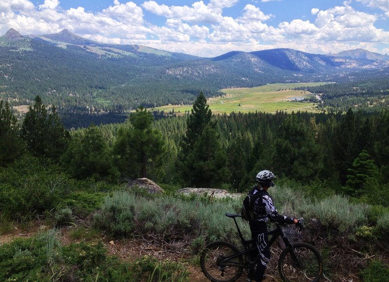
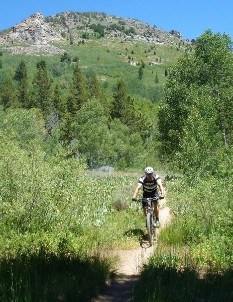
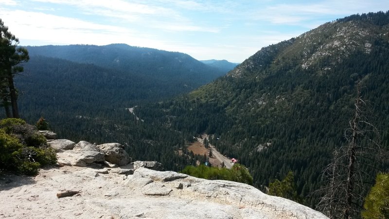
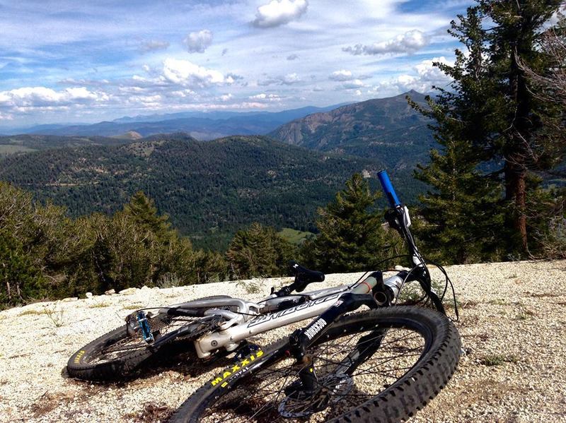
Overlooking the beautiful Hope Valley
Overlooking the beautiful Hope Valley
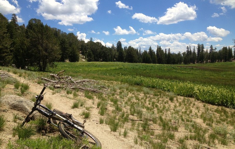
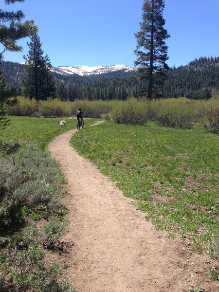
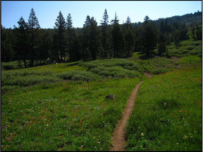
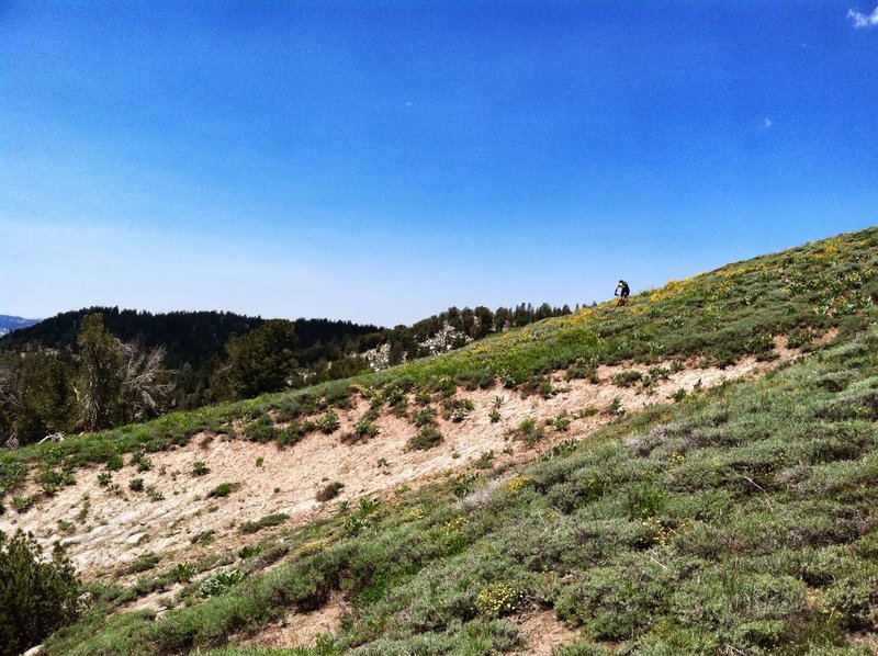
High meadow off Tahoe Rim Trail
High meadow off Tahoe Rim Trail
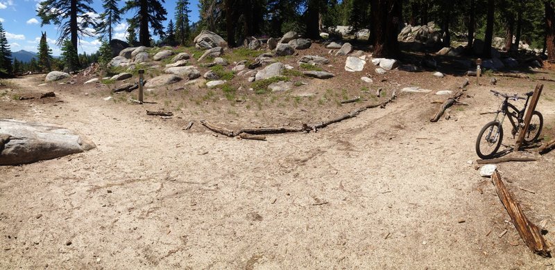
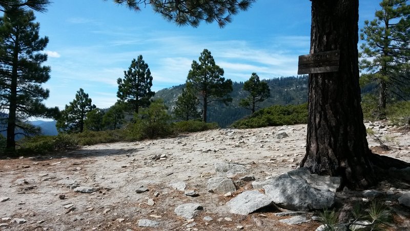
Intersection of Armstrong and Tahoe Rim Trail
Intersection of Armstrong and Tahoe Rim Trail
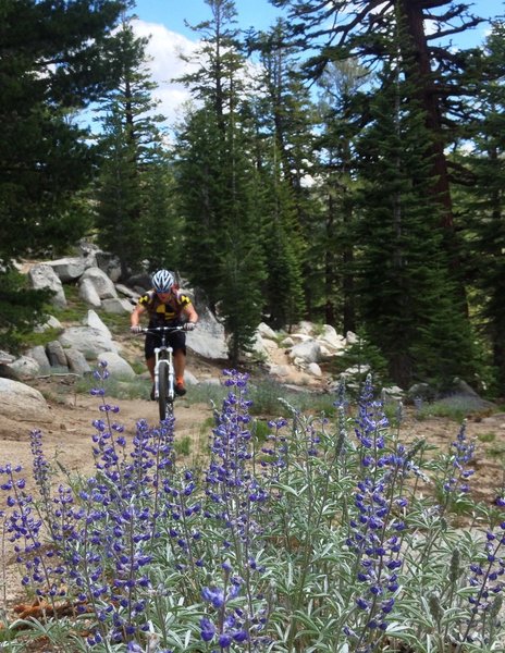
Flowers in bloom
Flowers in bloom
TRT... wildflowers blooming... about to descend to the top of Toads!
TRT... wildflowers blooming... about to descend to the top of Toads!
The meadow view after the climb and before the descent.
The meadow view after the climb and before the descent.
Climbing up Hawley Grade Trail.... green!
Climbing up Hawley Grade Trail.... green!
Up, up and away
Up, up and away
PonyExpress green room
PonyExpress green room
Fun descent
Fun descent
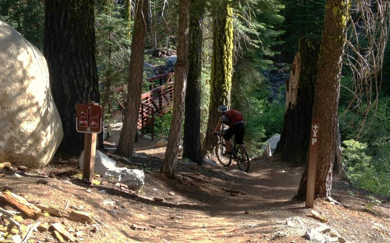
Pony Express (XP) Trail
Pony Express (XP) Trail
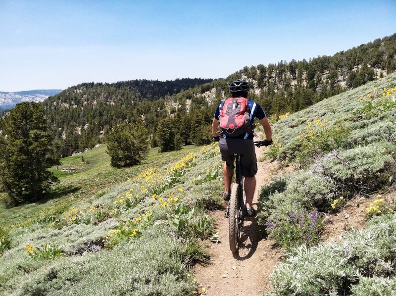
Wildflowers blooming on the TRT
Wildflowers blooming on the TRT
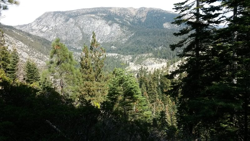
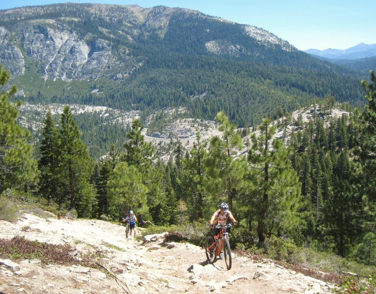
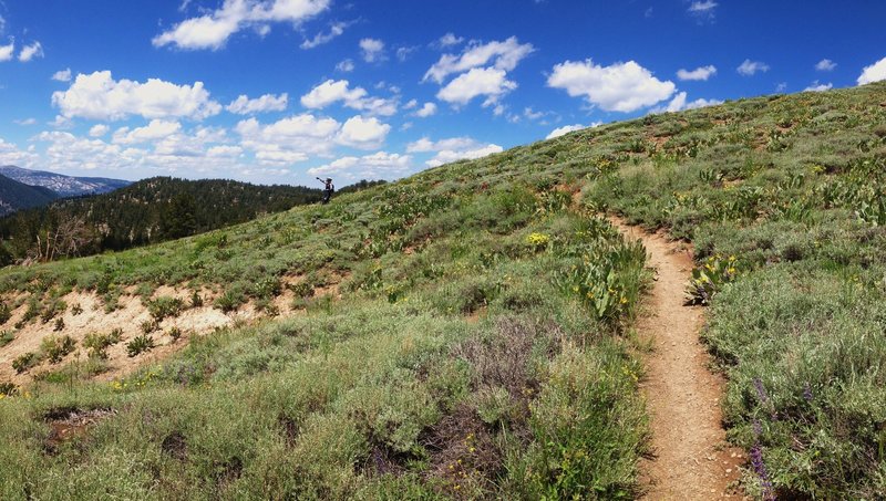
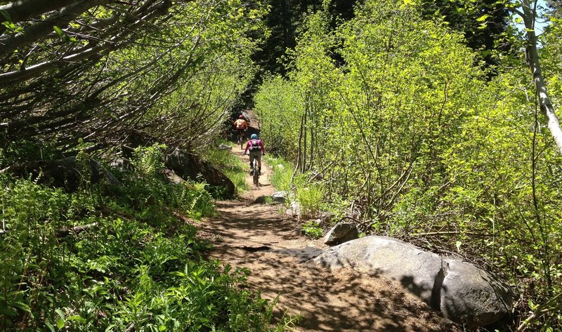
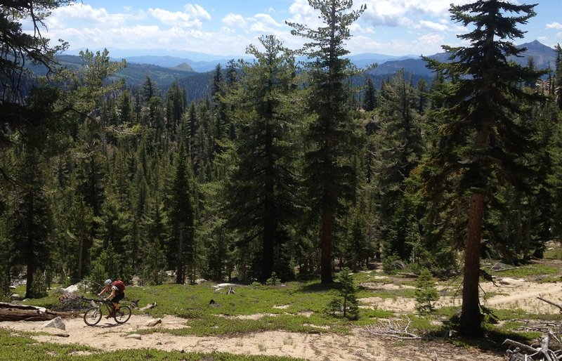
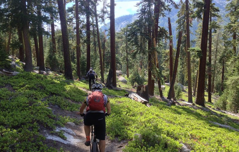
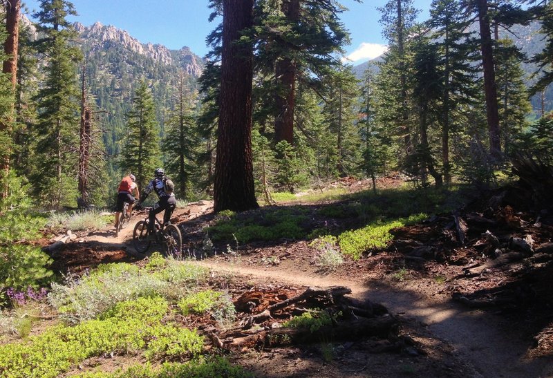
Great views and lung busting climbs through this section of the Tahoe Rim Trail
Great views and lung busting climbs through this section of the Tahoe Rim Trail
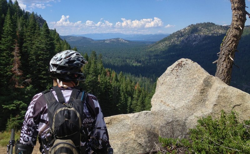
Climbing TRT (Tahoe Rim Trail), looking over the southern Sierra peaks
Climbing TRT (Tahoe Rim Trail), looking over the southern Sierra peaks
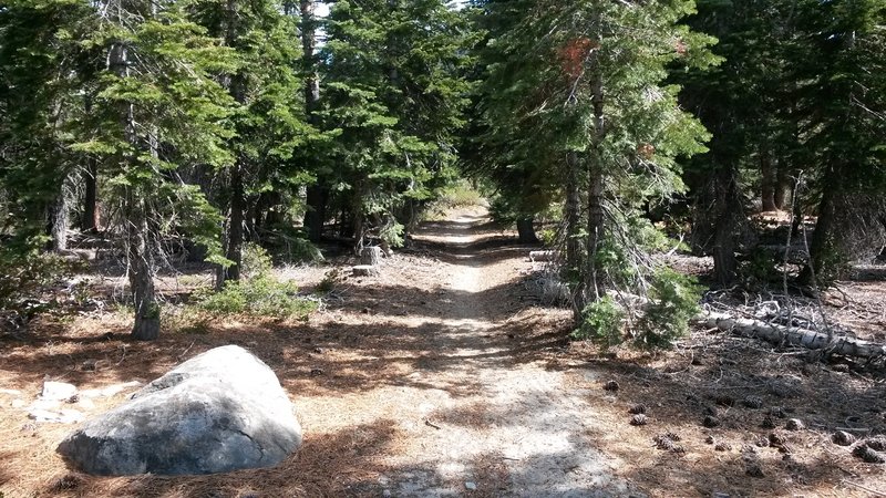
Cruisin' on the Cattle Trail around Waterhouse Peak from Luther Pass
Cruisin' on the Cattle Trail around Waterhouse Peak from Luther Pass
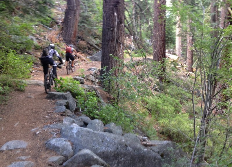
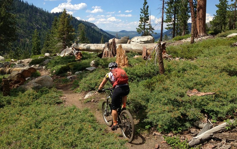
Descending Tahoe Rim Trail towards Toads. Mix of rowdy and flowy!
Descending Tahoe Rim Trail towards Toads. Mix of rowdy and flowy!
Pony Express Trail fun
Pony Express Trail fun
Climbing up Xmas Valley
Climbing up Xmas Valley
Great view from Christmas Valley Trail
Great view from Christmas Valley Trail
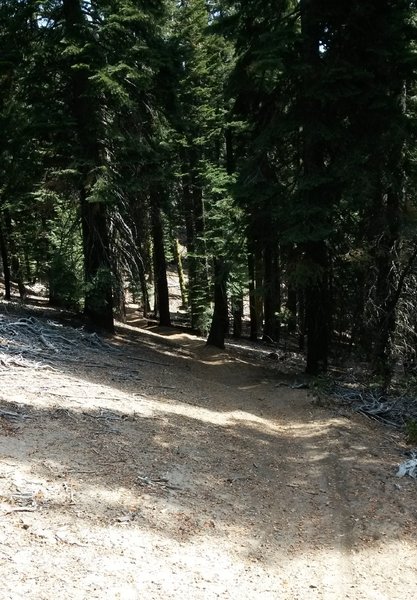
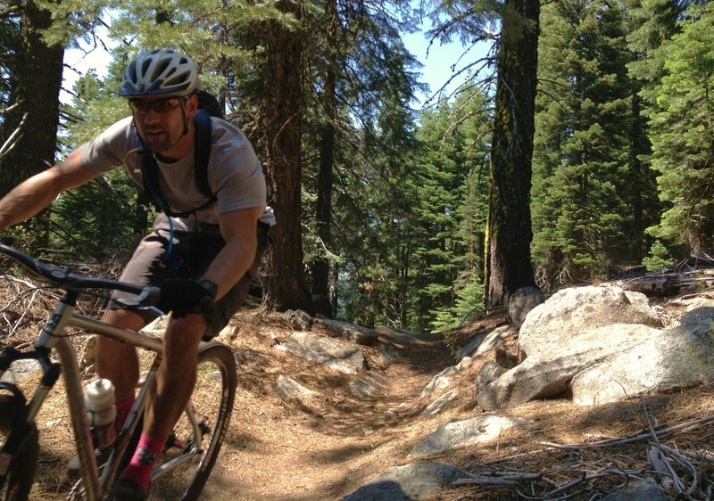
Climbing Armstong, among the trees and big rocks.
Climbing Armstong, among the trees and big rocks.
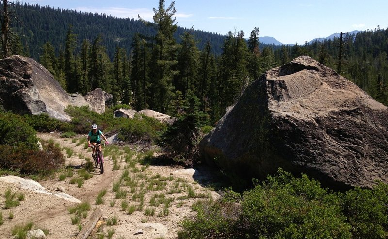
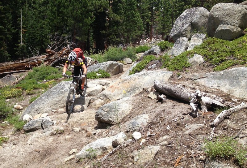
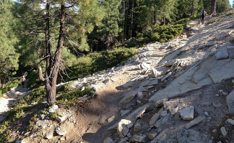
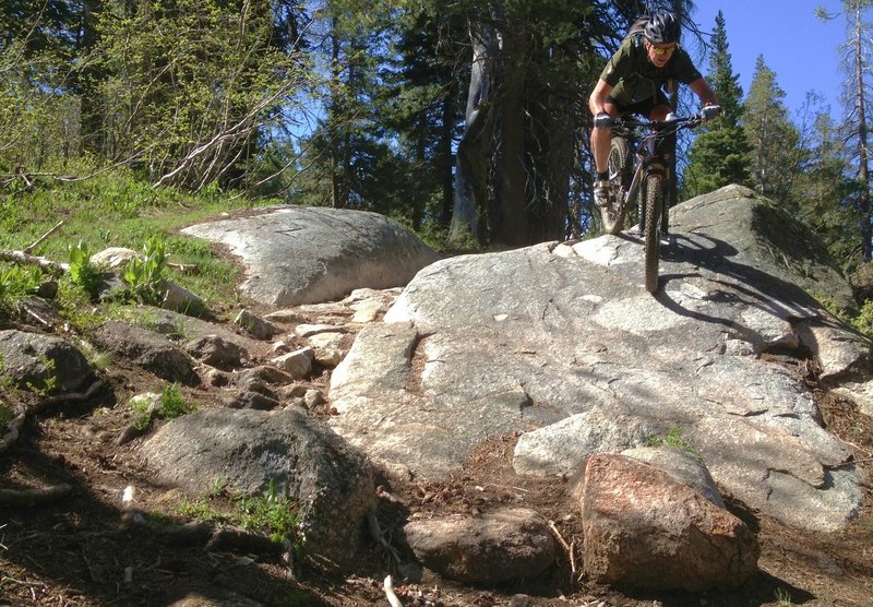
Big rocks off Pony XP in Huckleberry Canyon
Big rocks off Pony XP in Huckleberry Canyon

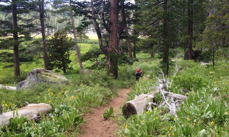
Passing through Big Meadow
Passing through Big Meadow
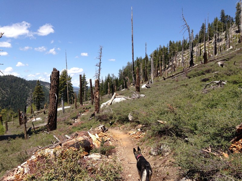
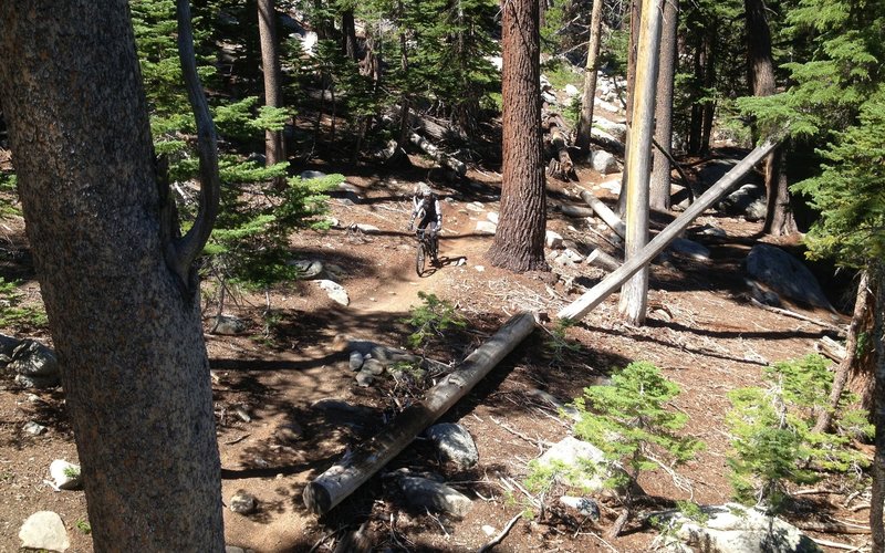
Christmas Valley Trail, through an old burn.
Christmas Valley Trail, through an old burn.
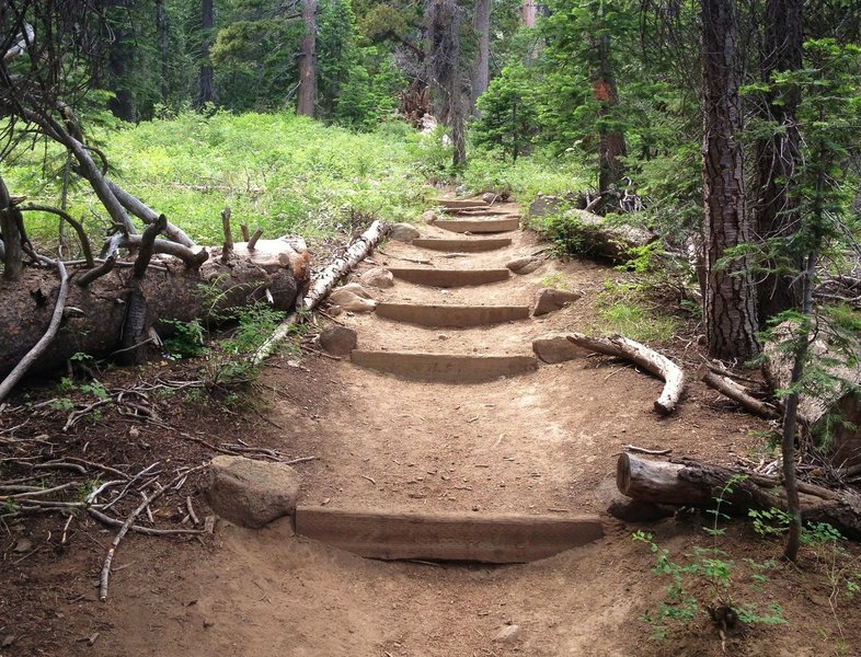
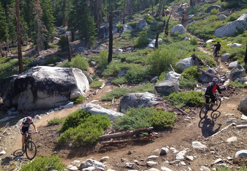
Fun stuff on the Tahoe Rim Trail
Fun stuff on the Tahoe Rim Trail
Climbing Armstong, with Freel Peak in the background.
Climbing Armstong, with Freel Peak in the background.
Don't try this at home!
Don't try this at home!