7.4 hr
Overview
I like to park on Highway #89 (Luther Pass) and ride the dirt road out to the trailhead as a warm-up. You could four-wheel drive out to the start of the trail, but it makes for a very long shuttle drive. After the dirt road, the trail starts with a climb out of the northwest side of a vague parking area. The initial climb is short but steep right out of the parking lot. Then the singletrack of the Horse Meadows Trail #21566 winds easily through the trees to the start of the switchbacks and a short hike-a-bike up to Armstrong Pass.<br><br>At the pass you'll intersect the Tahoe Rim Trail. It's all downhill from here! Get ready for 12.0 miles of non-stop fun all the way into town. The first 4.0 miles is all ripping good, sweet singletrack through the woods on the Armstrong Pass Trail #18E09. Then you pop-out at a small parking area at the top of the Fountain Place Road and hit the Armstrong Connector #18E09A. Some spots are a bit sandy but still good riding down to the next parking area at the top of the Corral Trail #18E14. Within the first 50 yards the trail splits. Keep right as the Sierra Sidewinder Trail #18E14A peels off to the right. It's super fun and easier for novice riders, but everyone will enjoy 40+ bermed hairpin corners.<br> <br>One mile later, the trails merge again, then drop down and across the creek. Just past the Trout Creek bridge, the trail again splits. The left fork leads to the Lower Corral Trail; complete with huge berms and big table top jumps. If you would rather miss the airborne crowd, go right up the hill on the Twisted Cedar Trail #18E14B which is nearly as fun with lots of corners and 'whoop-de-doos.'<br><br>Both trails end at the Powerline Road (FSR #12N08), which is a well used four-wheel drive track, complete with large power lines overhead. This part can be ridden in either direction. To pick up the easy but fun Railroad Grade Trail #18E15, turn left and look for a well used trail just before the bottom of the hill. If you cross the creek you have gone too far.<br><br>Railroad G
Trail Stats
26.8 km
438 m
2657 m
1912 m
—
Photos
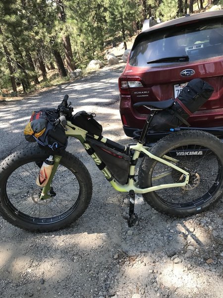
mukluk loaded up for inaugural bikepacking trip at start of Horse Meadow Rd. Headed up to Star Lake
mukluk loaded up for inaugural bikepacking trip at start of Horse Meadow Rd. Headed up to Star Lake
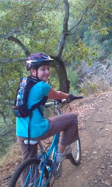
Kids getting into it.
Kids getting into it.
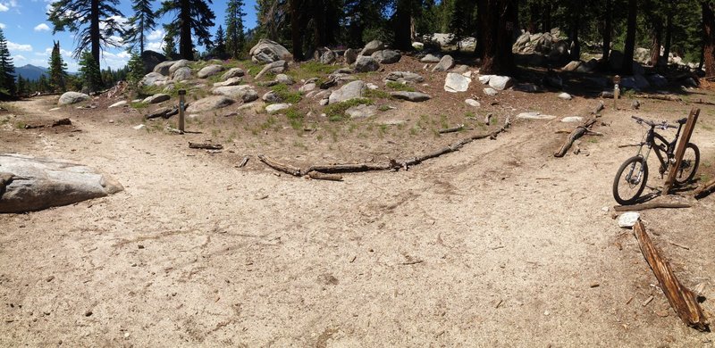
Intersection of Armstrong and Tahoe Rim Trail
Intersection of Armstrong and Tahoe Rim Trail
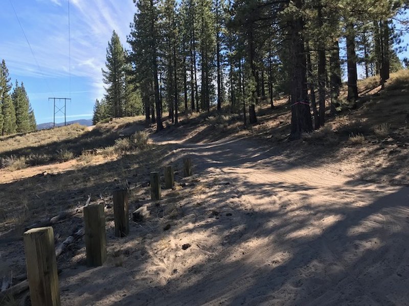
Powerline
Powerline
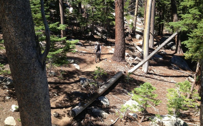
Singletrack fun.
Singletrack fun.
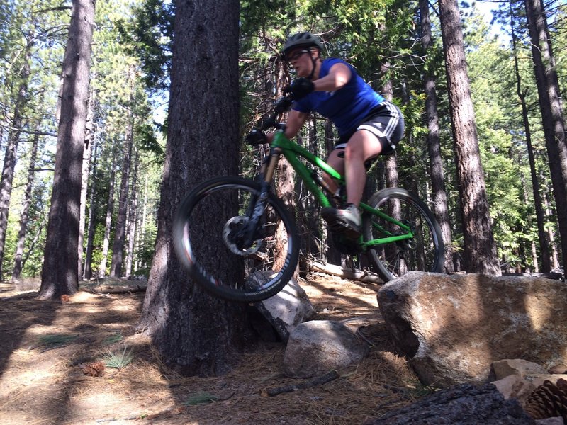
Small rock drop leading into the jump section.
Small rock drop leading into the jump section.
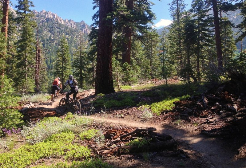
Climbing Armstong, among the trees and big rocks.
Climbing Armstong, among the trees and big rocks.
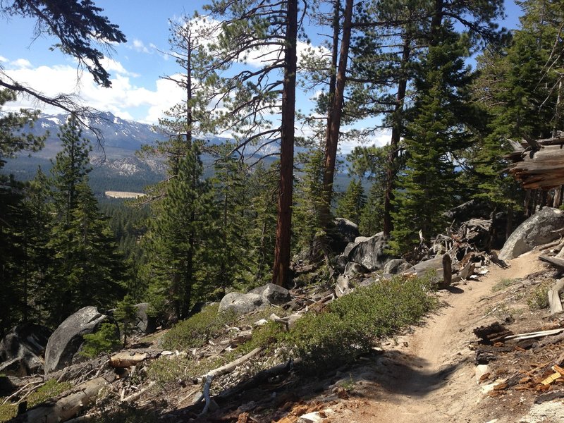
Climbing Armstong, with Freel Peak in the background.
Climbing Armstong, with Freel Peak in the background.