9.5 hr
Overview
Pick up the trail at Packer Lake Saddle (intersection of County Route 621 and Butcher Ranch Rd.), just a short distance from the shuttle drop off at the top of Sunrise Trail. (It will be down the hill from the shuttle drop off. The shuttle drives past it on its way to Sunrise Trail.)<br><br>Gold Valley Rim Trail starts with a gradual climb to obtain the ridge where you are rewarded with sweeping views of the Lakes Basin. After riding along the ridge, the trail crosses a couple small service roads where it then deviates from the old PCT and begins to drop down toward "Baby Heads" on new singletrack. The descent is on par with the many great descents in the Downieville trail system with plenty of rocky technical sections. The trail crosses over several sections of rock slab that gives you a little taste of Moab riding, Sierra style. Look out for a great optional slab descent feature about 4.7 miles in. <br><br>The trail ends at an intersection with Forest Service Road 93-3. Follow signs straight to continue on to "Baby Heads" and the start of Pauley Creek /Big Boulder trails.<br><br>Once you cross Pauley Creek (it's a large meadow), you'll climb out of the creek and then watch for the Big Boulder turn off on your right. Keep climbing until you come to another fork. The trail you want to take is the option on the left; there is a sign proclaiming it an OHV trail; that's the only confirmation you'll have once heading towards Big Boulder.<br><br>You'll begin a well-earned descent here, and one that is as much fun as you can find anywhere in the Downieville area. The trail is fast, flowy, a little technical, and a little dangerous. You'll head through exposed sections and through the woods, FAST. Big Boulder ends at Third Divide for some more fast downhill flow. It's all ripping fun until you get to Lavezolla Road and head toward First Divide.<br><br>From Lavezolla Road, you'll come to an obvious open area just before the fire road starts upward, where First Divide (upper portion) sneaks off to the right. Look for a
Trail Stats
35.0 km
456 m
2280 m
884 m
—
Photos
The start of Downieville Classic
The start of Downieville Classic
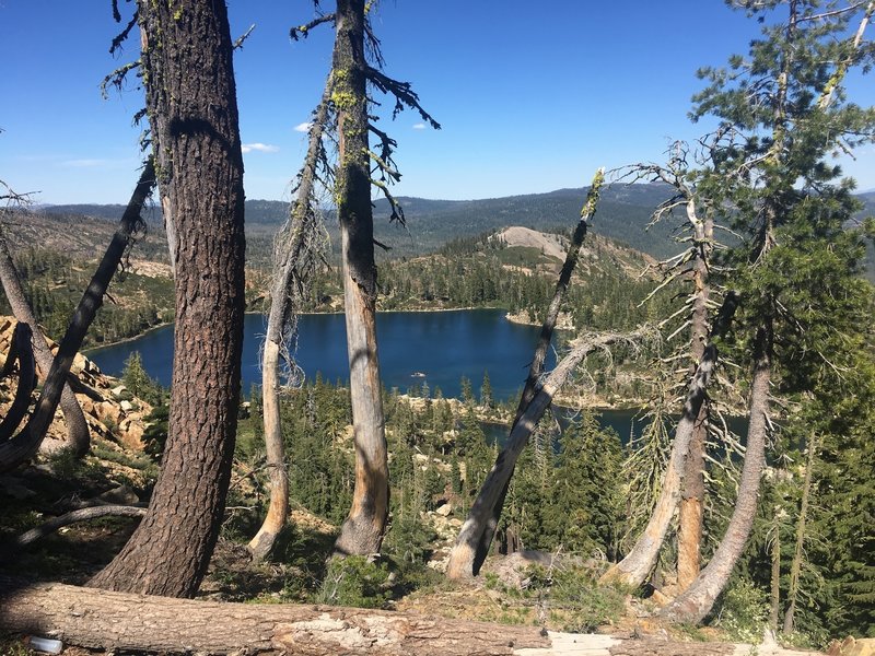
Deer Lake from Gold Valley Rim Trail
Deer Lake from Gold Valley Rim Trail
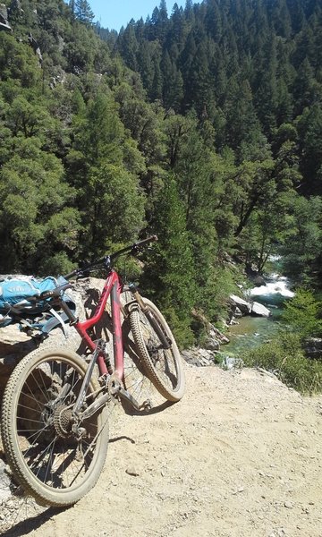
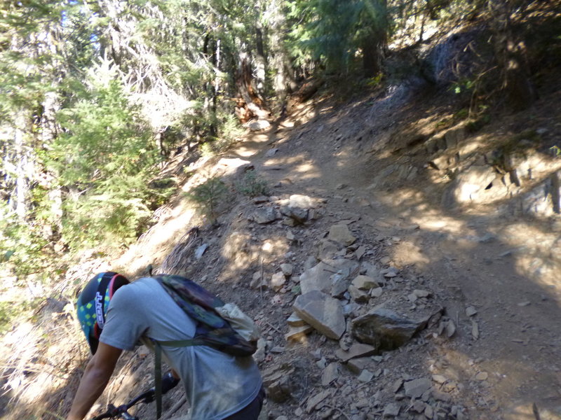
View along First Divide Trail
View along First Divide Trail
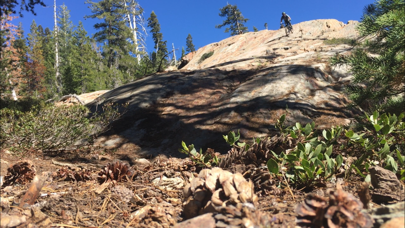
Slab riding on Gold Valley Rim Trail
Slab riding on Gold Valley Rim Trail
The classic.
The classic.
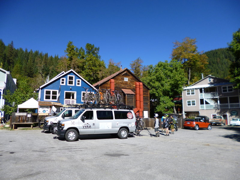
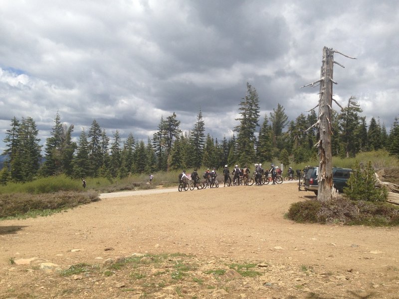
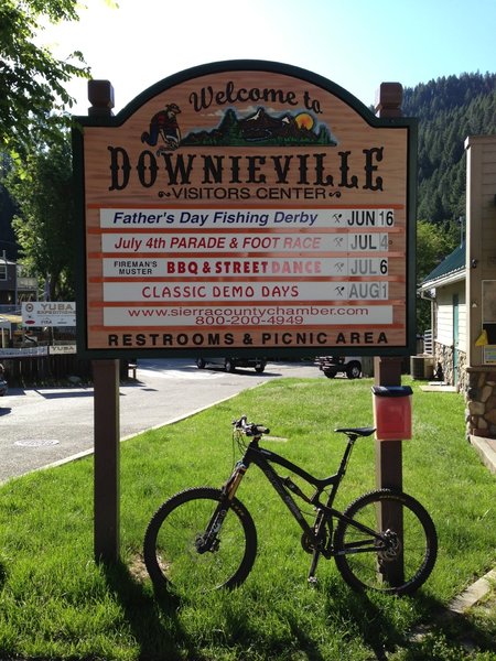
The fun North Yuba Loop starts here! If you want to shuttle, the cost is just $20 per person, bikes ride free.
The fun North Yuba Loop starts here! If you want to shuttle, the cost is just $20 per person, bikes ride free.
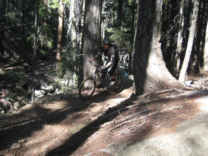
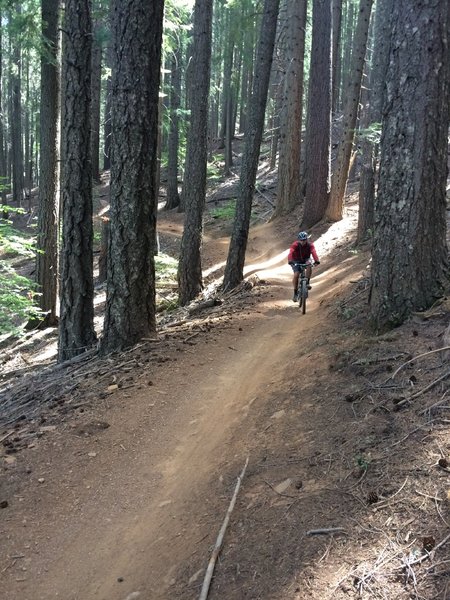
Fun fast descent - Third Divide Trail
Fun fast descent - Third Divide Trail
Third Divide getting loosey-goosey.
Third Divide getting loosey-goosey.
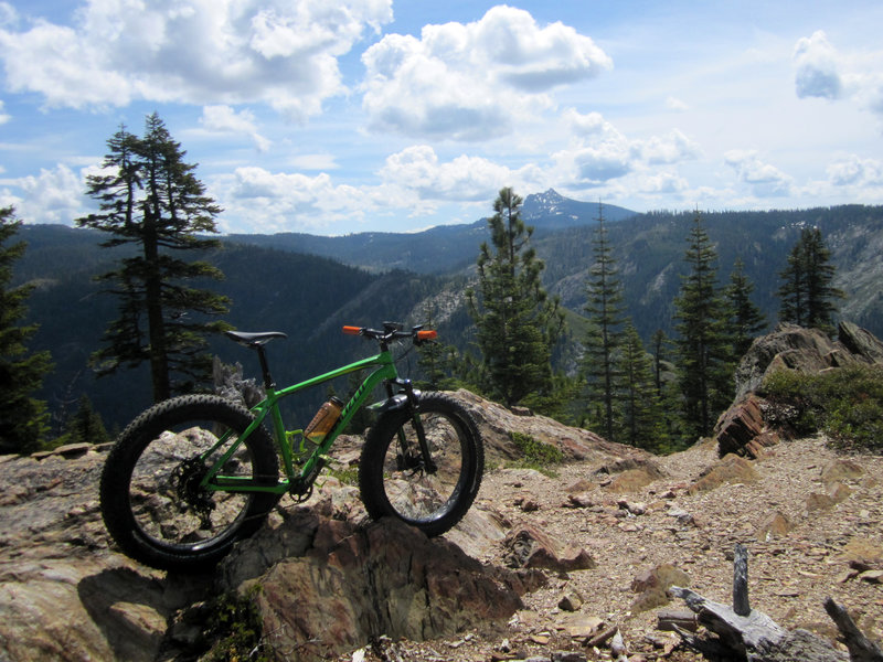
Amazing rest spot 20 feet off the trail just after all the hard climbing and eroded cobblestone descents. This is somewhere close to the top of the second ascent. Lots of fun on a fat bike with suspension. (Suspension is a must!)
Amazing rest spot 20 feet off the trail just after all the hard climbing and eroded cobblestone descents. This is somewhere close to the top of the second ascent. Lots of fun on a fat bike with suspension. (Suspension is a must!)
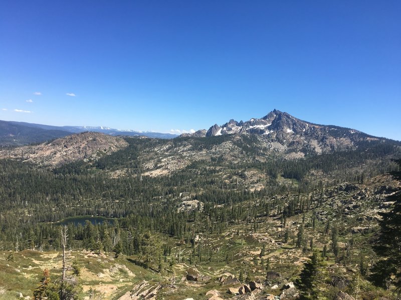
Sierra Buttes vista from Gold Valley Rim Trail
Sierra Buttes vista from Gold Valley Rim Trail
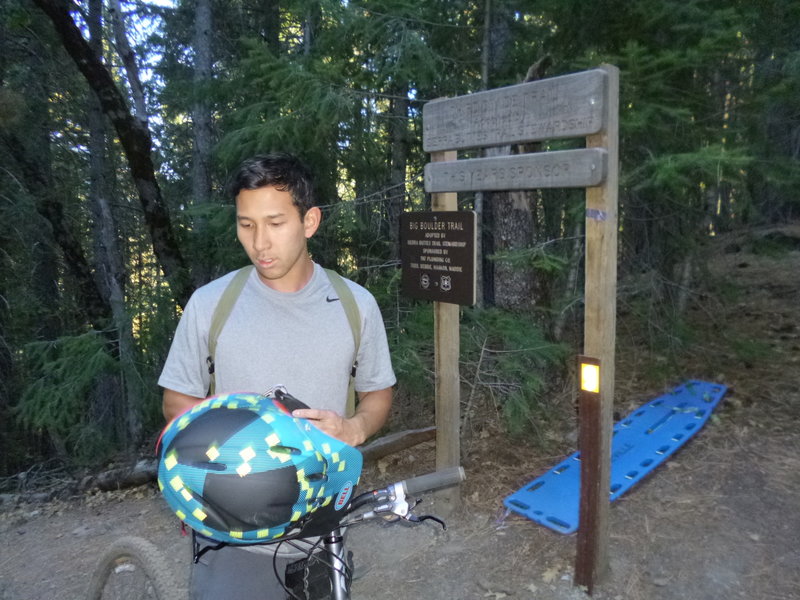
A rescue backboard is strategically located at the intersection of Third Divide, Big Boulder, the Butcher Trail, and Second Divide.
A rescue backboard is strategically located at the intersection of Third Divide, Big Boulder, the Butcher Trail, and Second Divide.
Fast and smooth section of Third Divide Trail.
Fast and smooth section of Third Divide Trail.