4.6 hr
Overview
The loop can be started at any of the three parking locations. This description starts at the Woodside Campground parking entrance ($8 fee.) The trail starts at the eastern end of the parking lot.<br><br>Take Central Trail up a forest road with a moderate slope until you arrive at the water towers on your left. Turn left onto Water Tank Trail then right onto North Trail and ride the overgrown road (now a narrow trail) through the stunted trees in the Pygmy Forest. North Trail will tee back into Central Trail, turn left.<br><br>Continue up Central Trail into the large prairie-land and turn left onto Prairie Trail near the middle of the prairie. Follow Prairie Trail, a forest road that needed some maintenance when we were there. At the bottom of the trail, you'll cross the San Andreas fault and see a sag pond that formed where the fault split the ground. Continue up the other side until you see Plantation Trail merge on the left hand side.<br><br>Take Plantation Trail and travel along the forested contours of the canyon wall above Miller Creek. It appears that the trail is a forest road that has narrowed to singletrack width in some areas. The trail ends at Kruse Ranch Rd, a public dirt road. Turn left and follow the dirt road through Plantation, which pretty much consists of a small ranch that is now a kids summer camp. Follow the road another mile or so until you see a trail marker on your left.<br><br>Take Stump Beach Trail down to Highway 1. It is a gorgeous, well-maintained, curvy, canyon-side trail through the redwood forest. <br><br>When you reach Highway 1, turn left on the road (no bike lane and lots of traffic). Go around a switchback over Miller Creek and a hundred yards or so on the other side you'll see a barely accessed park road and gate. Go around the gate and work your way through the grasslands across the bluff on Salt Point Trail. At the end of Salt Point Trail, you'll be on the paved campground road, take the road up until you reach Highway 1. Turn right and go about 1/4 mile to get back to th
Trail Stats
15.5 km
446 m
311 m
11 m
—
Photos
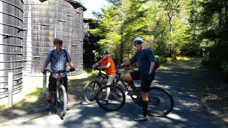
The water tanks, turn here to see the Pygmy Forest
The water tanks, turn here to see the Pygmy Forest
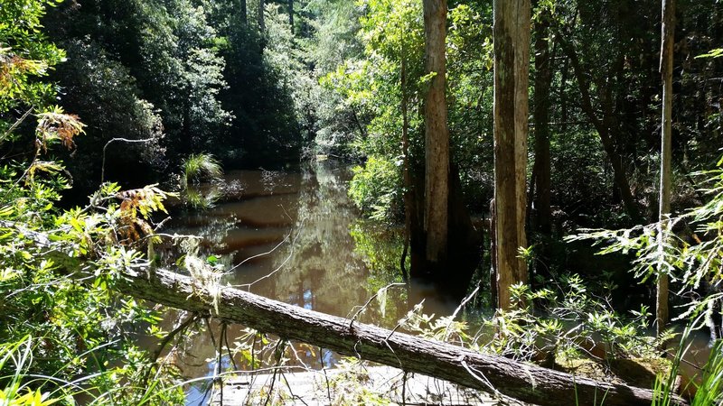
Sag pond on the San Andreas Fault
Sag pond on the San Andreas Fault
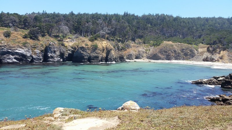
Stump Beach Cove
Stump Beach Cove
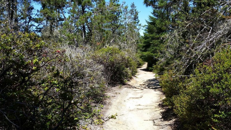
North Trail through the Pygmy Forest
North Trail through the Pygmy Forest
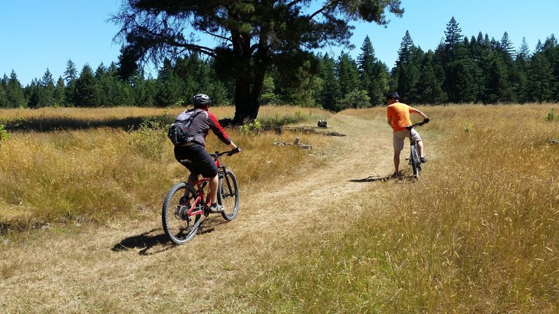
The prairie. A large unexpected grassland opening surrounded by redwood forest
The prairie. A large unexpected grassland opening surrounded by redwood forest