10.4 hr
Overview
This route starts and ends at the popular Channel Drive parking area (arrive early if you want a spot). Bring water, as there are basically no water fountains. <br><br>Channel Trail is a nice warm up, followed by an easy but beautiful climb up the Warren Richardson Trail. Next is the Two Quarry Trail climb, which is challenging due to the baby-head sized rocks and a couple of tricky obstacles. Take a right at the "top" to continue on Two Quarry Trail until the left at Marsh Trail. Things are pretty and mellow here for a bit. <br><br>Take the left onto Lawndale Trail, which starts out flat but turns into a fun gradual and flowy descent all the way down to the road and parking area (you can stash additional water here in advance if you're able). Turn right on Lawndale Road for a gradual road climb until the road splits. Take the right split onto Schultz Road, which winds through the neighborhood. The Schultz Trail trailhead is on the right (look for the gate). <br><br>Schultz is a beautiful, but challenging (at times) climb due to baby-head sized rocks. At the next split, take a left onto Ridge Trail which will take you all the way to Marsh Trail. Take a left onto Marsh Trail for a gradual, sometimes rocky, fire road descent that connects to Canyon Trail. Take the left onto Canyon Trail for more rocky fire road descending all the way to the bottom. When you cross the wooden bridge make a right and climb up Spring Creek Trail. This is a beautiful technical climb with a lot of foot traffic. When you pop out into the open, stay to the right and get ready for the more challenging half of the climb. <br><br>At the top of the climb (the lake), go left and make the first right onto Lake Trail, which is a flat ride along the north side of Lake Ilsanjo. Make the left onto Louis Trail, which is mostly climbing and has a few rocky/technical bits. Before long, this will link up with North Burma Trail (once the dirt turns red) and it's GAME ON from here. North Burma starts out flowy, but once you hit the "T" you'll turn right
Trail Stats
36.6 km
780 m
434 m
101 m
—
Photos
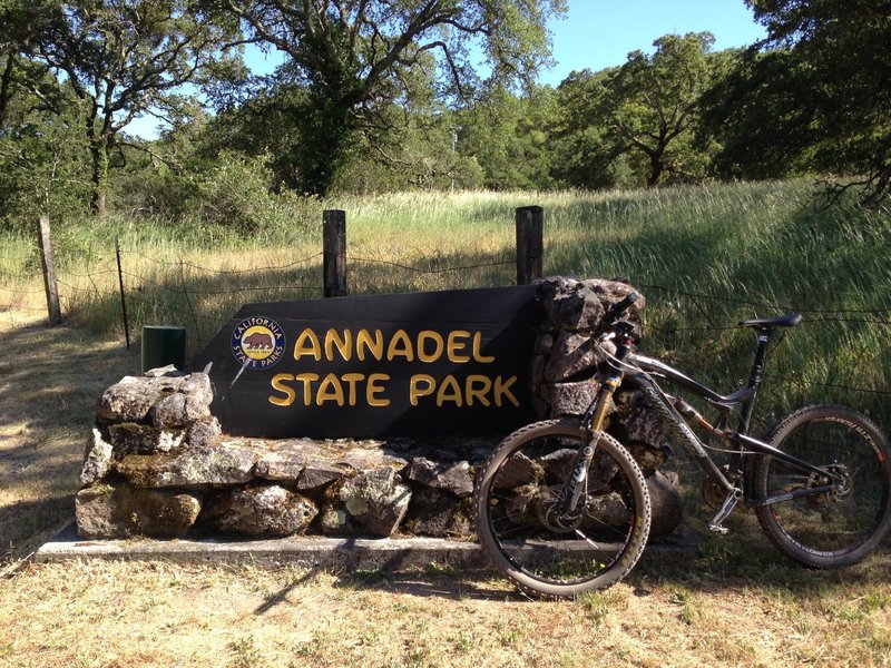
You'll see this at the end of the Annadel Big Loop Ride because the parking lot is actually just outside the State park.
You'll see this at the end of the Annadel Big Loop Ride because the parking lot is actually just outside the State park.
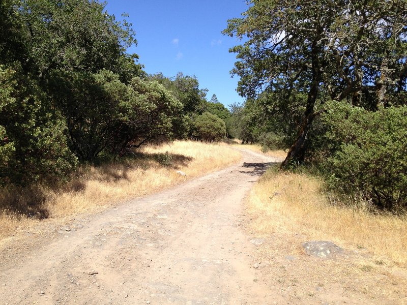
The open fire road at Annadel
The open fire road at Annadel
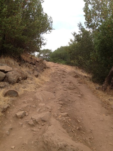
The Spring Creek Trail close to Lake Ilsanjo. Very steep and very rocky.
The Spring Creek Trail close to Lake Ilsanjo. Very steep and very rocky.
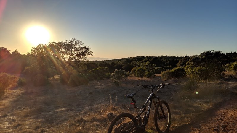
A quick sunset photo op after fixing a flat on North Burma Trail.
A quick sunset photo op after fixing a flat on North Burma Trail.
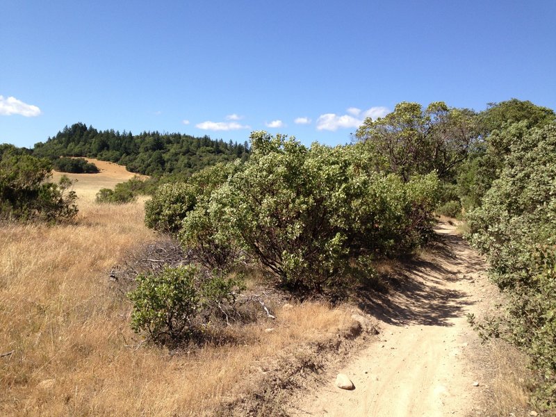
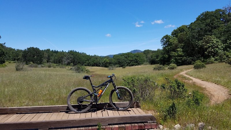
Annadel is a mixture a open fields on one side and enclosed singletrack on the other.
Annadel is a mixture a open fields on one side and enclosed singletrack on the other.
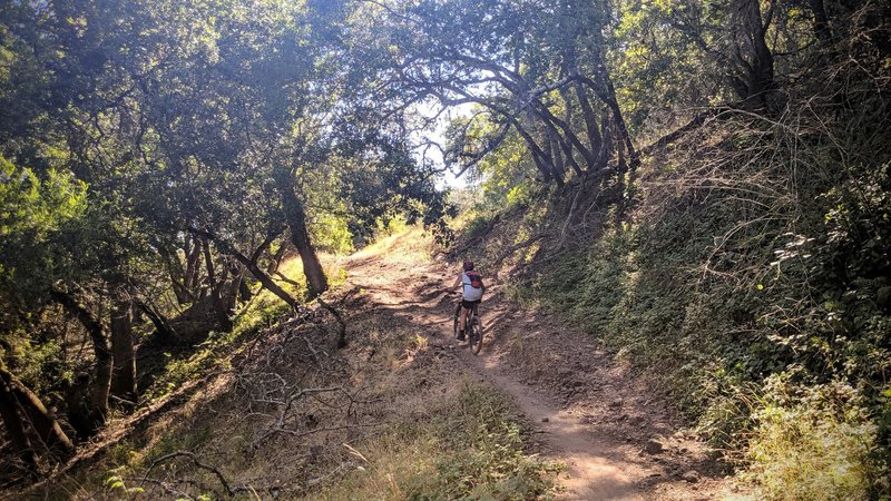
Heading up the Spring Creek Trail. Starting to get steep.
Heading up the Spring Creek Trail. Starting to get steep.
Rest at Lake Ilsanjo between Canyon Trail and Rough Go Trail
Rest at Lake Ilsanjo between Canyon Trail and Rough Go Trail
Marsh and Ridge Trails.
Marsh and Ridge Trails.
One of the many meadows along the Ridge Trail. It may look smooth here but there is plenty of rock mixed into the singletrack.
One of the many meadows along the Ridge Trail. It may look smooth here but there is plenty of rock mixed into the singletrack.
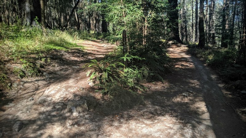
Near the intersection of Louis trail and North Burma Trail,
Near the intersection of Louis trail and North Burma Trail,
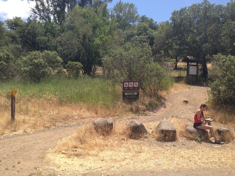
The trailhead at the main parking lot. Trail sign on the left marking the Cobblestone trail, a map of the park, and a cute girl. :-)
The trailhead at the main parking lot. Trail sign on the left marking the Cobblestone trail, a map of the park, and a cute girl. :-)
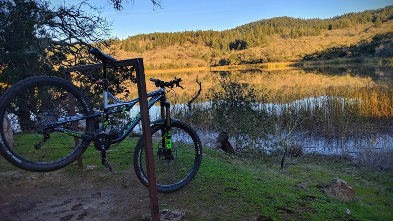
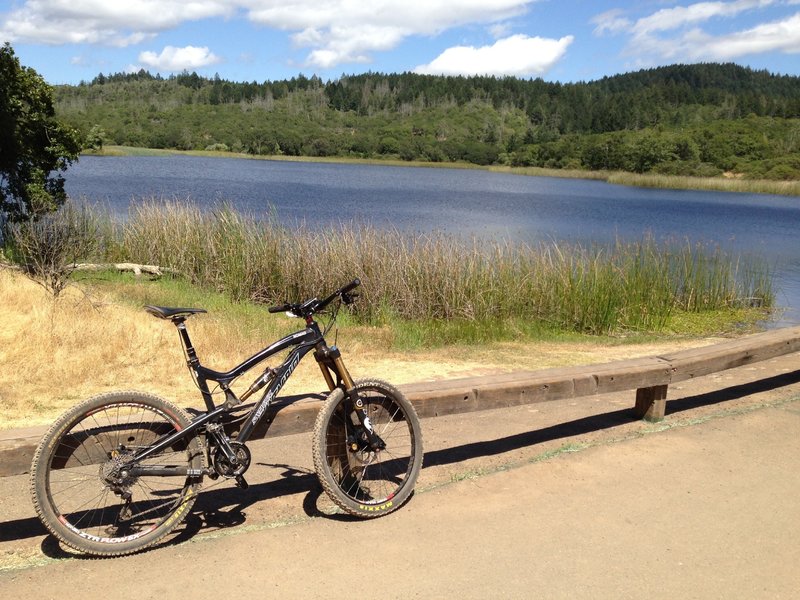
Peaceful Lake Ilsanjo
Peaceful Lake Ilsanjo

Great trail for those just starting out. Not technical, gentle climbs and descents.
Great trail for those just starting out. Not technical, gentle climbs and descents.
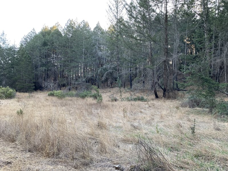
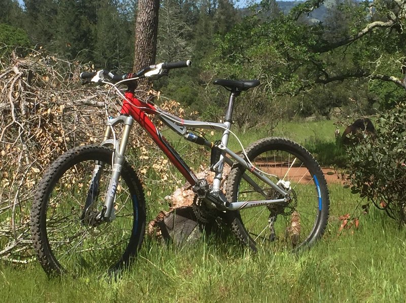
A clearing along side the upper section of Two Quarry
A clearing along side the upper section of Two Quarry
Great trail for most ages.
Great trail for most ages.
Marsh Trail
Marsh Trail
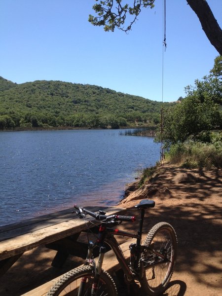
Lake Ilsanjo. Nice spot for an energy snack.
Lake Ilsanjo. Nice spot for an energy snack.
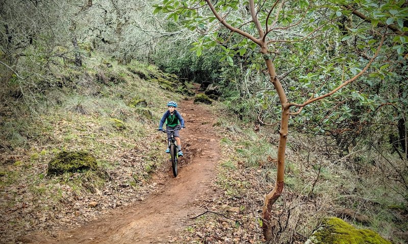
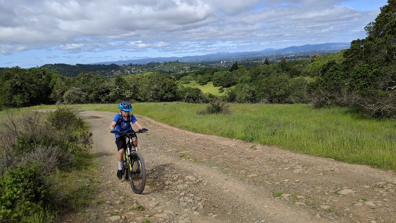
Son's second time on a trail, first time at Annadel.
Son's second time on a trail, first time at Annadel.
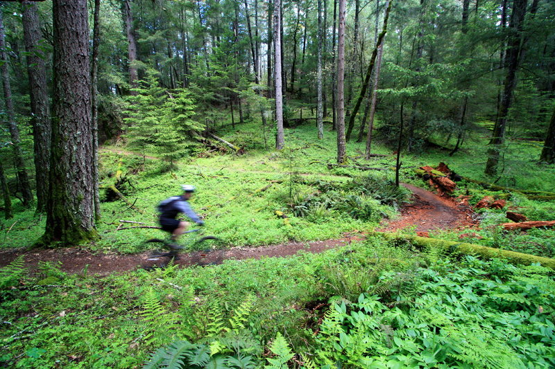
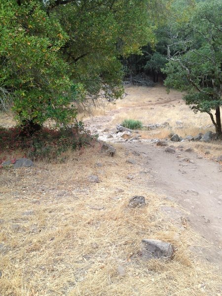
Enjoying the shady and secluded singletrack at the southern edge of Annadel State Park.
Enjoying the shady and secluded singletrack at the southern edge of Annadel State Park.
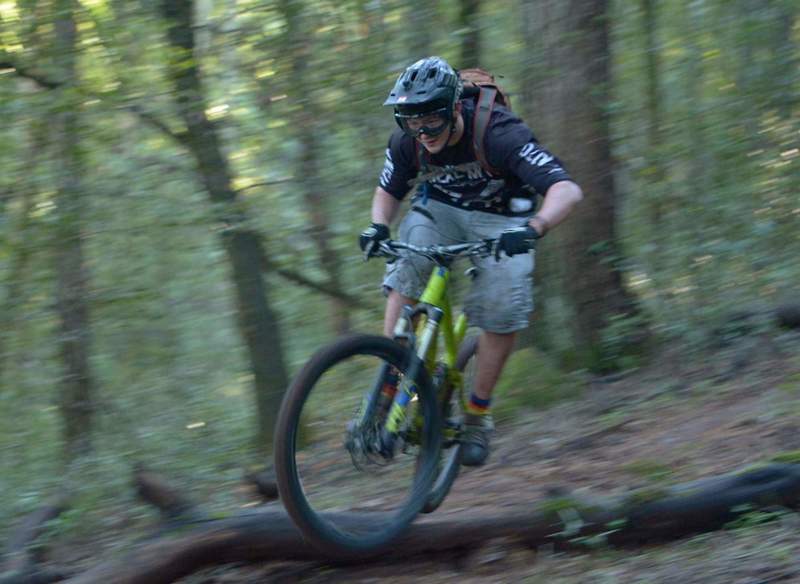
Jett Williams always has a great time.
Jett Williams always has a great time.
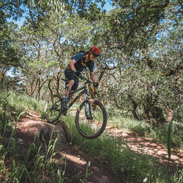
Alphawanderlust.com -Baby Jump-
Alphawanderlust.com -Baby Jump-