6.6 hr
Overview
This shuttle features epic singletrack from the start, with a major drop-in from the A-Tree (go easy on the front brake). It's a little tricky to find the trailhead--it's just west of the A-Tree, on the left side of the fire road heading west. You know you're on the right trail if it's steep downhill from the get-go. <br><br>Overall, the Lavezzola Creek OHV Trail isn't too technical, but blue/black rated (IMHO) for lack of help if you get into trouble. The route isn\u2019t marked, but fairly easy to follow, especially if you have the <a href='/mobile-app'>MTB Project mobile app</a>. <br><br>From the end of the Lavezzola Creek OHV Trail, continue south on the Lavezzola Creek Road until the start of the First Divide (upper portion) on your right just after the 11-mile mark. This trail follows the contours along the Lavezzola Creek and then Pauley Creek before dumping you out onto Lavezzola Road to head south to Downieville.
Trail Stats
24.9 km
192 m
1998 m
881 m
—
Photos
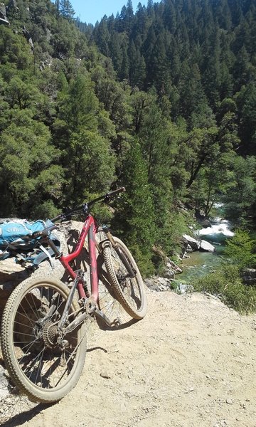
View along First Divide Trail
View along First Divide Trail
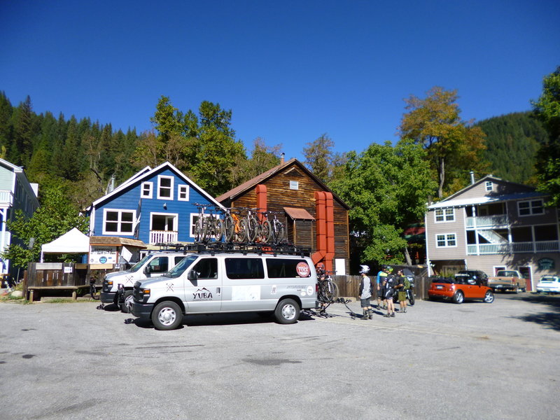
The classic.
The classic.
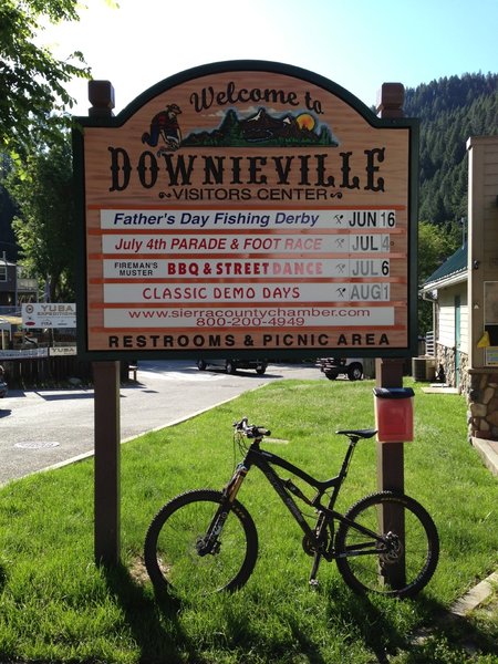
The fun North Yuba Loop starts here! If you want to shuttle, the cost is just $20 per person, bikes ride free.
The fun North Yuba Loop starts here! If you want to shuttle, the cost is just $20 per person, bikes ride free.
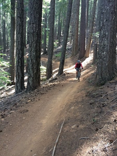
Fast and smooth section of Third Divide Trail.
Fast and smooth section of Third Divide Trail.