7.3 hr
Overview
The trail starts with a steady climb on nice singletrack. There are a few rocky sections but it is mostly hard packed dirt. Soon there will be a side trail up to a viewpoint on the left. This is a great view and worth the extra climb. <br><br>After a couple miles, the trail crosses dirt roads that connect to Martis Peak and highway 267 to Kings Beach. At about mile 4, the trail follows a dirt road to the right for a few tenths of a mile, then branches off to the left soon after you pass a dirt road to the right. At approximately 6 miles in, it briefly follows a dirt road for a few tenths. You'll follow this road up a steep climb and soon find the trail jetting off to the left.<br><br>The final segment to the wilderness boundary has some very technical, rocky terrain. Most people walk the technical sections near the top. Be careful if you try to ride these sections because if you can't make it, you'll step or fall into large and sometimes sharp boulders. <br><br>The wilderness boundary is at over 9,000 ft and the view is well worth the effort. Snow drifts can linger here far into the summer. They can be walked over, and are a fun test of skill to ride down. Be careful if you try to ride down the technical sections as it is easy to endo into boulders. <br><br>Return down the way you came up for the best singletrack descent. There are some fun flowy sections, but be watchful of and courteous to hikers. Enjoy the ride!
Trail Stats
24.1 km
749 m
2799 m
2154 m
—
Photos
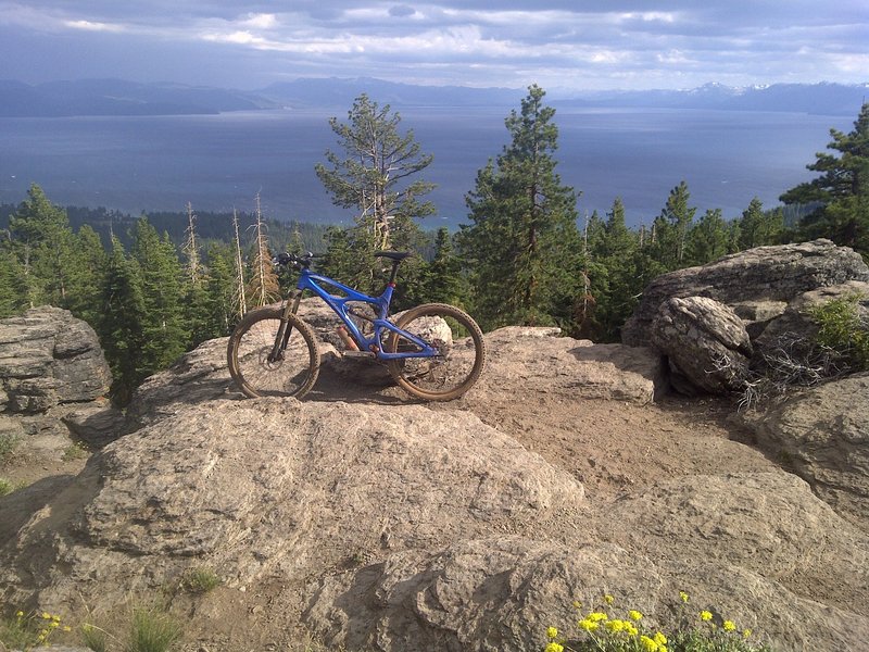
Looking south over Lake Tahoe.
Looking south over Lake Tahoe.
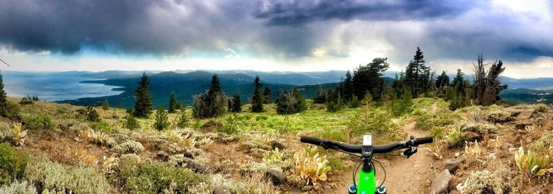
Great views spanning from Lake Tahoe to Donner Lake and all the way to Bocca Resevoir
Great views spanning from Lake Tahoe to Donner Lake and all the way to Bocca Resevoir
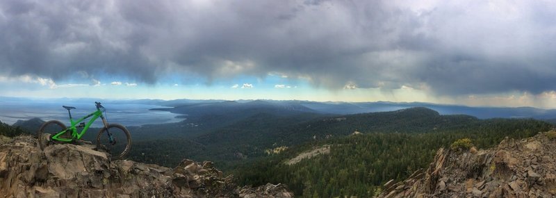
Ride with a view.... Fun trail. Solid climb. Great view and some rocky technical sections near the top.
Ride with a view.... Fun trail. Solid climb. Great view and some rocky technical sections near the top.