13.3 hr
Overview
At 32 miles, this is a great, point-to-point, net loss of elevation ride. It is REAL mountain biking! With very little climbing, it's also a really good singlespeed trail.<br><br>If you're starting at the "top" (Forni Rd., right by the jail), the few miles to the Weber Creek Bridge is a paved, Class I bike path, but there is some fun singletrack on the left side if you keep your eyes peeled.<br><br>Once you cross the Weber Creek Bridge, there's another mile of paved Class I bike path to Missouri Flat Rd (no singletrack). Once you cross here, you'll be on dirt all the way to Folsom.<br><br>The only "boring" portion is the last 3-4 miles, a little West of Latrobe Rd. to In N Out Burger in Folsom (off E. Bidwell). Once you cross the cool Deer Creek Bridge, the trail gets a little less interesting and the final couple miles are best done on the paved road on the West side of the train tracks.<br><br>While this trail as mapped shows the length of the El Dorado Trail from Forni Rd. to Folsom, many people like to park on Motherload Drive in Shingle Springs and ride up the tracks, then turn around and come back, which is also fun. Sam's Town Cyclery also operates a full service bike shop in the Shingle Springs Depot building also providing MTB, Fat Tire and kids bike rentals. The El Dorado Western Railroad Foundation and Sam's Town Cyclery also will have shuttle service rail rides from Shingle Springs to El Dorado and you can ride you bike back down the track.<br><br>For those that grow tired of riding trails in the Folsom Lake area, the El Dorado Trail is really good option for you!
Trail Stats
52.5 km
132 m
568 m
130 m
—
Photos
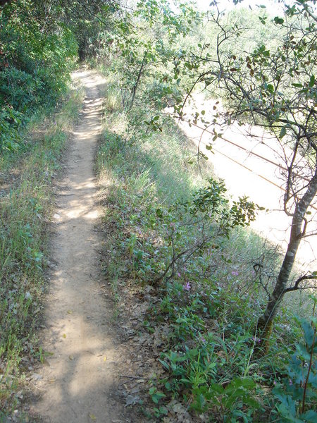
nice singletrack above the rails
nice singletrack above the rails
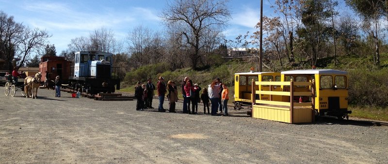
A small passenger "train" occassionally runs from S. Shingle, 8 miles to the East.
A small passenger "train" occassionally runs from S. Shingle, 8 miles to the East.
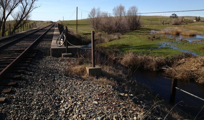
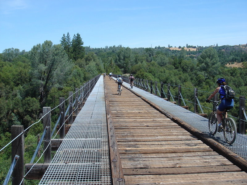
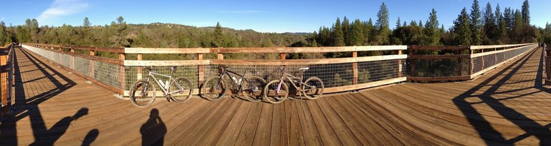
Furthest bridge crossing on the west end of the El Dorado Trail
Furthest bridge crossing on the west end of the El Dorado Trail
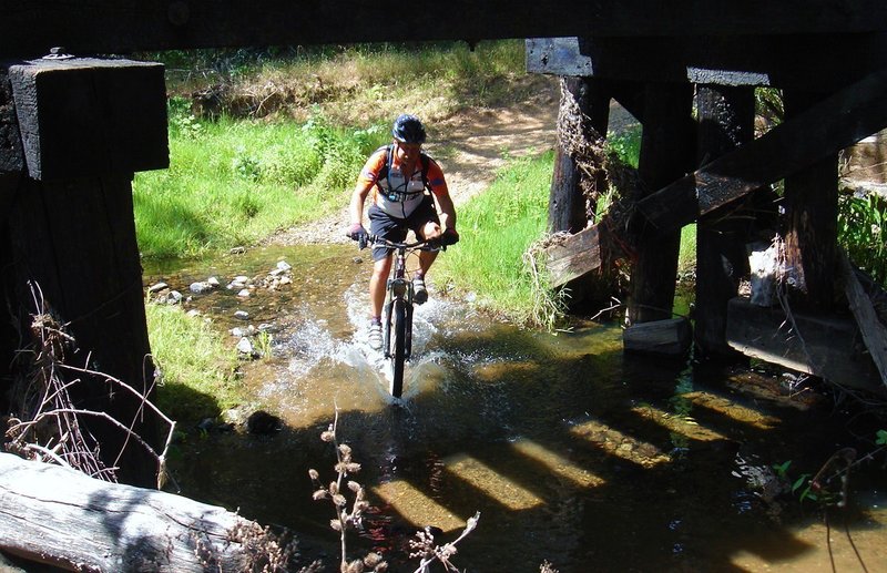
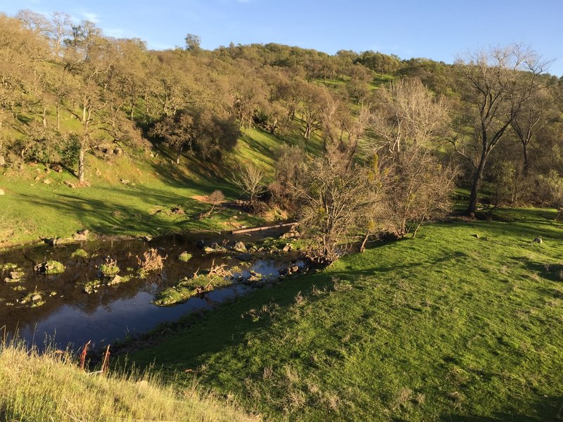
Wet crossing below the bridge
Wet crossing below the bridge
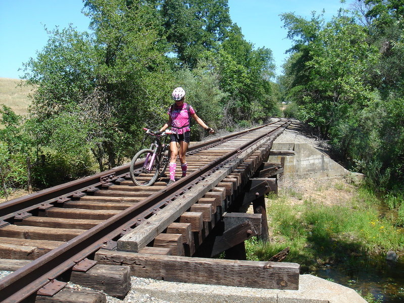
Or you can carefully walk/ride over..
Or you can carefully walk/ride over..
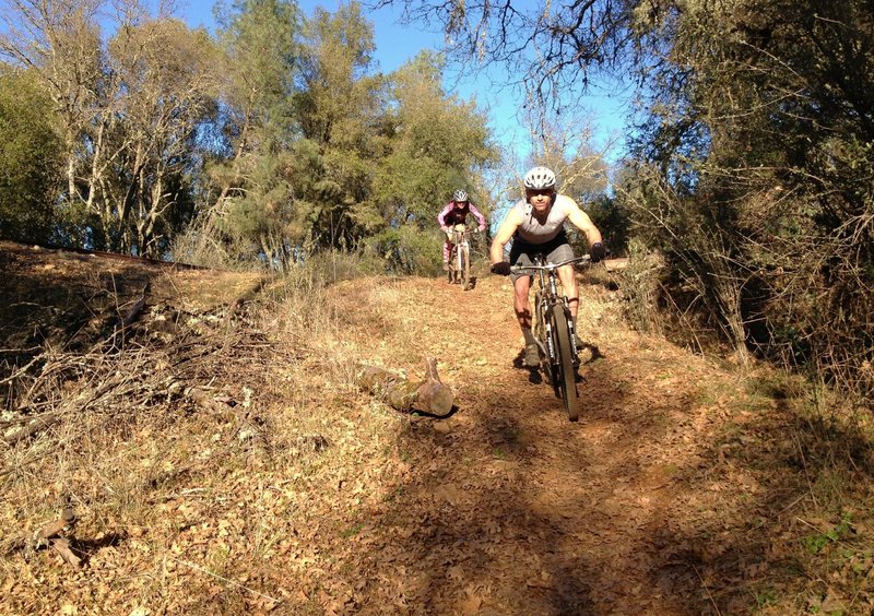
punchy climb
punchy climb
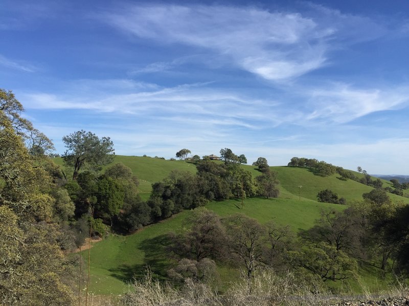
View from the El Dorado Trail
View from the El Dorado Trail
Nice view
Nice view
Deer Creek Bridge
Deer Creek Bridge
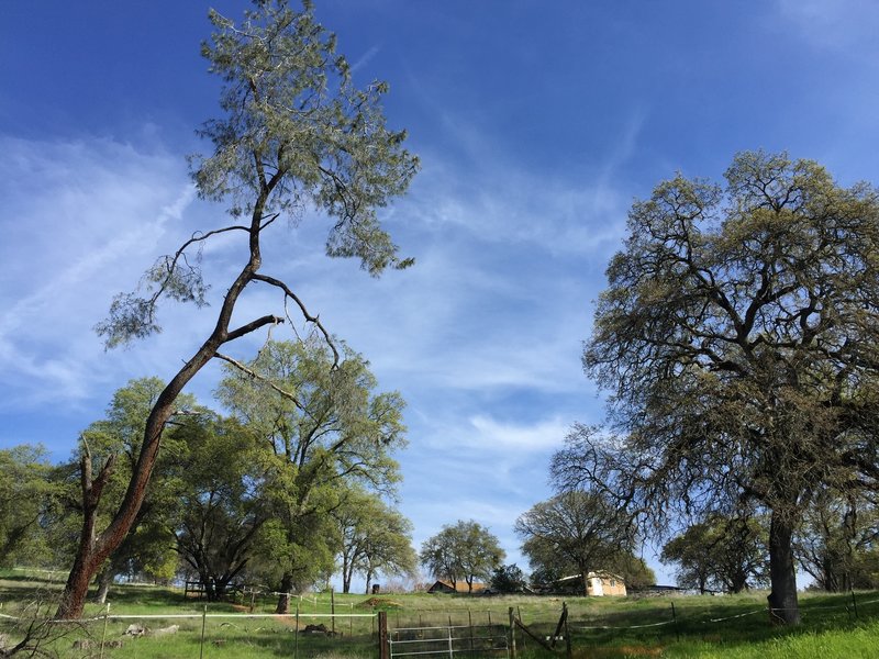
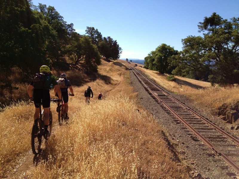
View from the trail
View from the trail
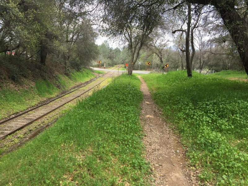
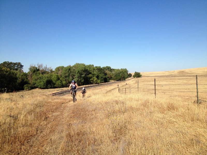
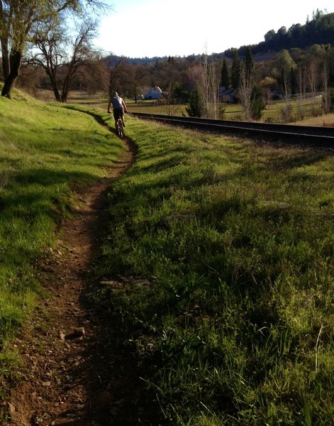
A nice singletrack section of the El Dorado Trail parallels right next to the tracks.
A nice singletrack section of the El Dorado Trail parallels right next to the tracks.
What the Weber Creek Bridge used to look like, prior to making it more bike/pedestrian friendly
What the Weber Creek Bridge used to look like, prior to making it more bike/pedestrian friendly
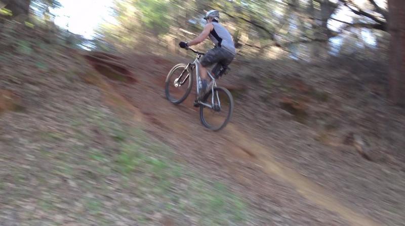
dropping in...
dropping in...
Approaching Deer Creek from the West
Approaching Deer Creek from the West
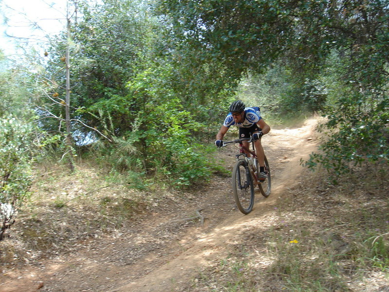
fun descents
fun descents
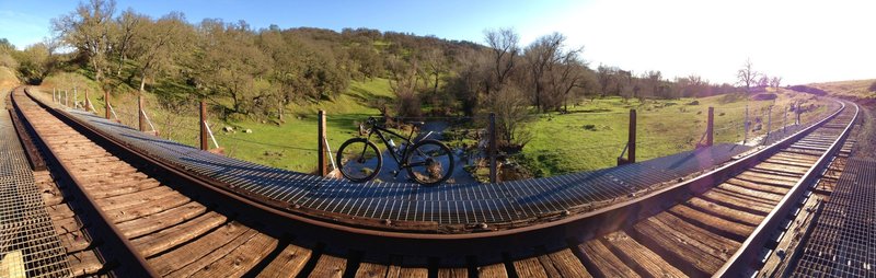
Weber Creek panoramic pic
Weber Creek panoramic pic
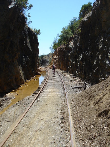
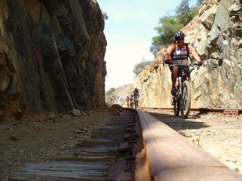
"the cut"
"the cut"
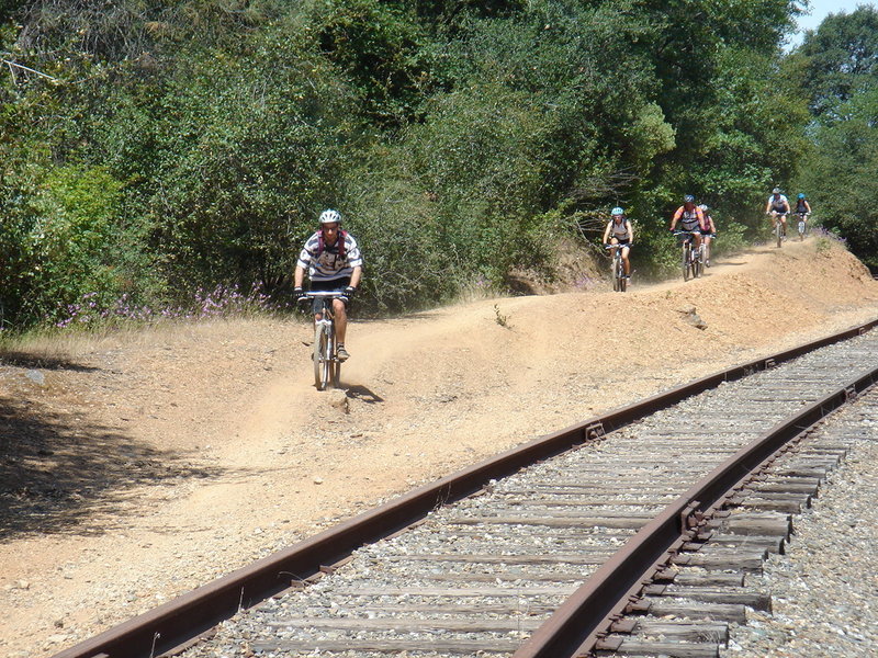
This is heading eastbound
This is heading eastbound
swoopy singletrack
swoopy singletrack
East bound
East bound
The cut, near the Red Hawk Casino exit off Hwy 50. Feels like you're in the Wild West!
The cut, near the Red Hawk Casino exit off Hwy 50. Feels like you're in the Wild West!