8.4 hr
Overview
Park at the end of the Christmas Valley Trail on South Upper Truckee Road. You'll start this ride with about two miles of climbing on the pavement to the Big Meadow Trailhead. The road portion has almost no traffic and you'll do a big chunk of your elevation gain on the pavement this way (and finish the awesome singletrack descent at your car). No reason to shuttle this since it makes a good warmup and the road has almost no traffic.<br><br>You'll start climbing immediately on South Upper Truckee road for just under a mile. Then you'll cross over Hwy 89 (watch for cars), and continue straight across. The road winds through Alpine Campground and ends at the Big Meadow Trailhead.<br><br>Cross back over Hwy 89 and head onto the Tahoe Rim Trail: Big Meadow - PCT. This first 1/2 mile of singletrack has some uphill steps and challenging sections before opening up to gorgeous meadows (Big Meadow!). You'll stay on the Tahoe Rim Trail as you climb to just over 8200' elevation. <br><br>Continue past the Christmas Valley intersection (go straight). You'll ride past Round Lake and some massive (cabin sized) boulders next to the trail. There are a few loose sections past Round Lake before you emerge into the meadows and continue on the Tahoe Rim Trail: Big Meadow - PCT until you reach the Pacific Crest Trail and the settlers cabins (it's legal to ride to the cabins since it isn't on the PCT). Carson Pass is about 2.9 miles away from the turnaround, sadly it's not bike legal since it's perfectly suited for bicycle use.<br><br>The trail flows nicely on the way back and is mostly downhill to the Christmas Valley intersection.<br><br>Make a left turn onto Christmas Valley Trail and descend downhill for about 1/10 mile to the Dardanelles Lake Trail intersection. Make a left turn toward Dardanelles Lake. <br><br>The trail is a little over a mile and is a mix of smooth, forest singletrack with some fun, technical rock challenges. There are three creek crossings with stepping stones (although they are usually easily ri
Trail Stats
28.2 km
818 m
2580 m
1986 m
—
Photos
Round Lake.
Round Lake.
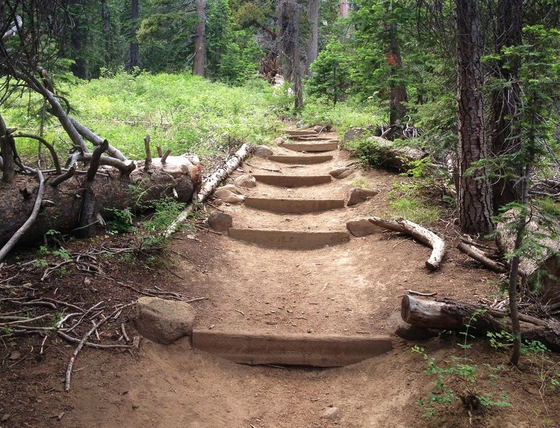
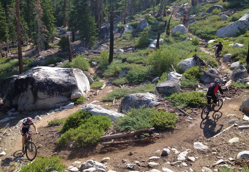
Some challenging but rideable steps
Some challenging but rideable steps
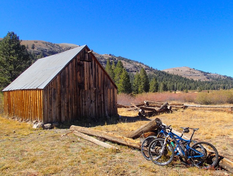
Historic settlers cabins in Meiss Valley.
Historic settlers cabins in Meiss Valley.
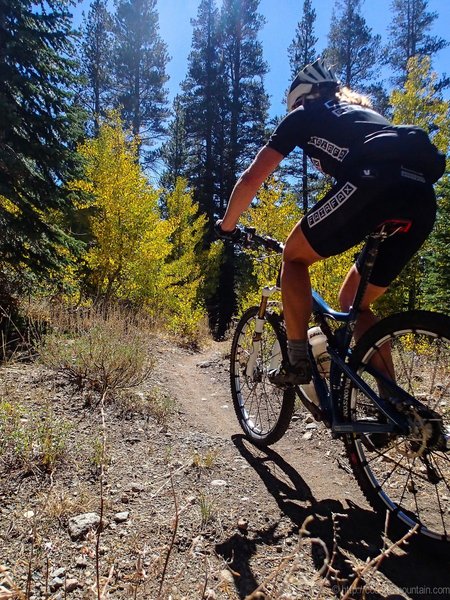
Blazing aspens on the TRT.
Blazing aspens on the TRT.
Almost to the bottom of the Christmas Valley Trail.
Almost to the bottom of the Christmas Valley Trail.
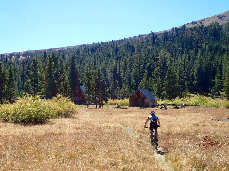
1880s cabins in Meiss Valley.
1880s cabins in Meiss Valley.
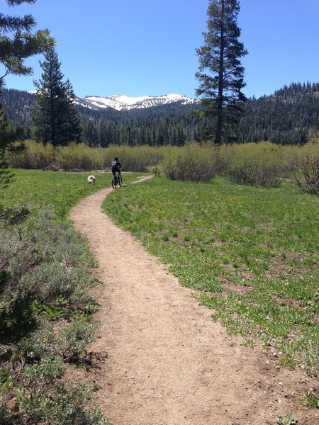
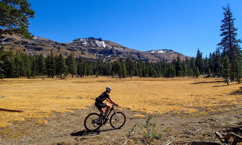
Through the meadow, one more climb to go.
Through the meadow, one more climb to go.
Round lake. A great place to stop and take it all in.
Round lake. A great place to stop and take it all in.
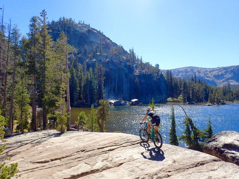
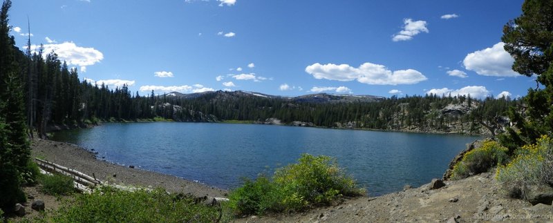
Dardanelles Lake - a gorgeous granite-ringed alpine lake. Worth the side trip!
Dardanelles Lake - a gorgeous granite-ringed alpine lake. Worth the side trip!
Fall scenery on the TRT.
Fall scenery on the TRT.
The meadow view after the climb and before the descent.
The meadow view after the climb and before the descent.
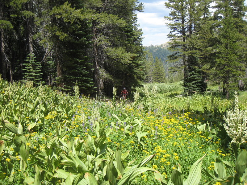
Wildflowers blooming on the TRT
Wildflowers blooming on the TRT
Climbing up Xmas Valley
Climbing up Xmas Valley
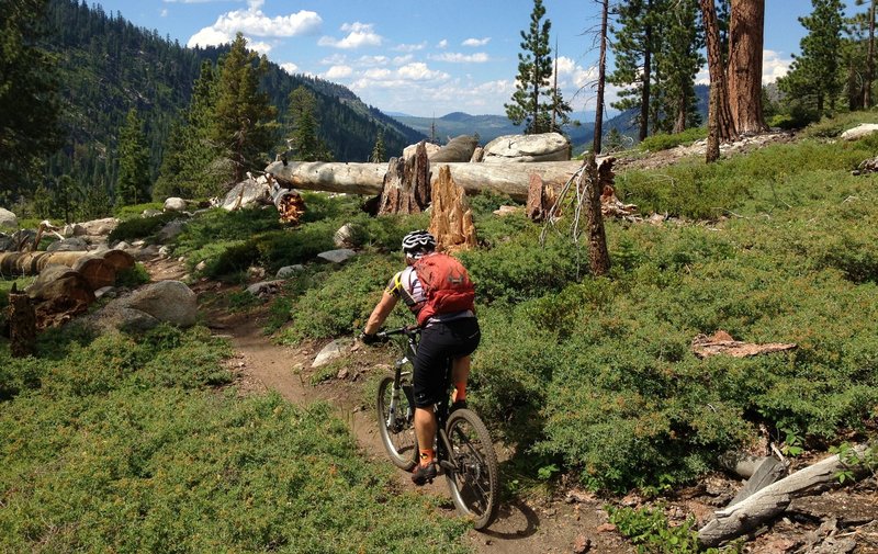
Great view from Christmas Valley Trail
Great view from Christmas Valley Trail

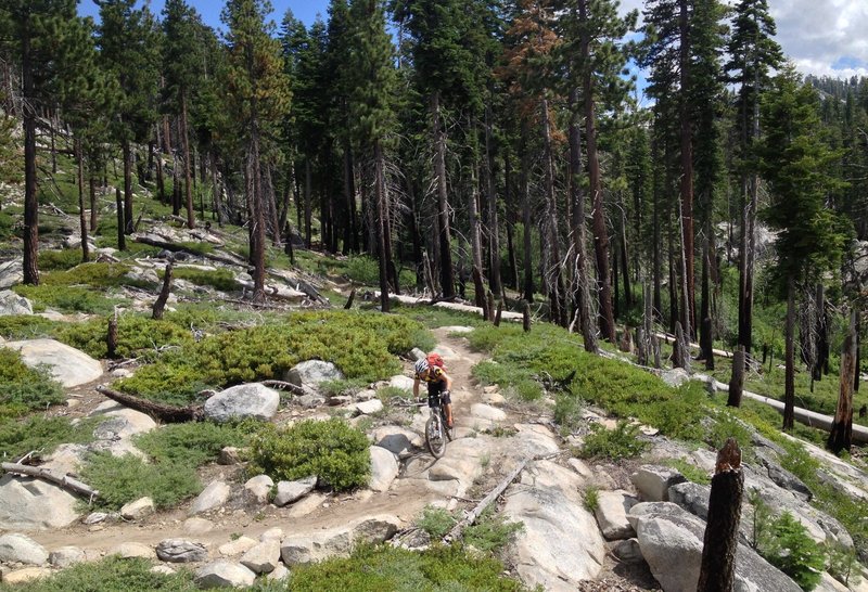
Passing through Big Meadow
Passing through Big Meadow
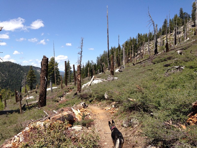
Christmas Valley Trail, through an old burn.
Christmas Valley Trail, through an old burn.