8.5 hr
Overview
Start at the Stanislaus US Forest Service parking lot. You can either go down Lumsden road and back up, or you can make it into a loop. Ride by the Pines campground sign and then take your first left onto dirt forest service roads off of Highway 120. This forest service dirt road will bring you along the ridge of the Tuolumne canyon which will give you great views into Yosemite! <br><br>Continue on the forest service road until you get to the back of the Buck Meadows Restaurant (stop for a beer and lunch if you're hungry :)) From here, you'll start heading down into the canyon on semi-rocky doubletrack trails. The downhill lasts for 3-4 miles and will put you at the bottom of the canyon next to the river and the Lumsden campground. <br><br>You can ride another 3 miles to get to the Lumsden bridge and see a great view of the waterfall (shown on this gpx track) or you can head up the 5 mile Lumsden road to get back to the Lumsden trailhead. From here, get back on Feretti road for 20 feet and take the forest service dirt road that will bring you back to the US Forest Service Office. You'll be required to ride on Highway 120 for a quarter mile.
Trail Stats
28.2 km
856 m
1035 m
434 m
—
Photos
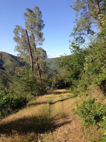
View of doubletrack trail going down into the canyon from buck meadows
View of doubletrack trail going down into the canyon from buck meadows
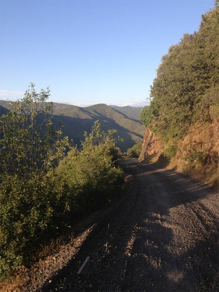
View of Lumsden Road half way down.
View of Lumsden Road half way down.
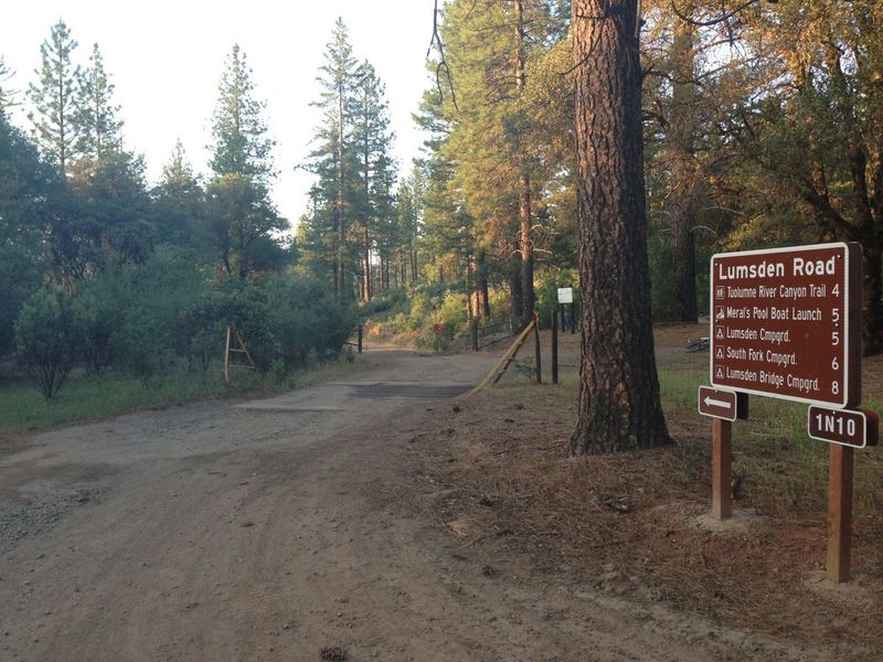
Lumsden Trailhead
Lumsden Trailhead
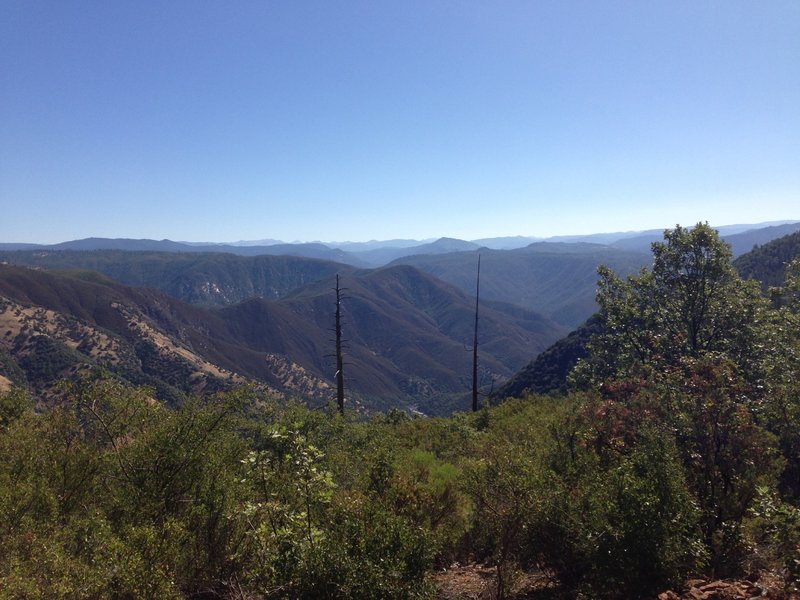
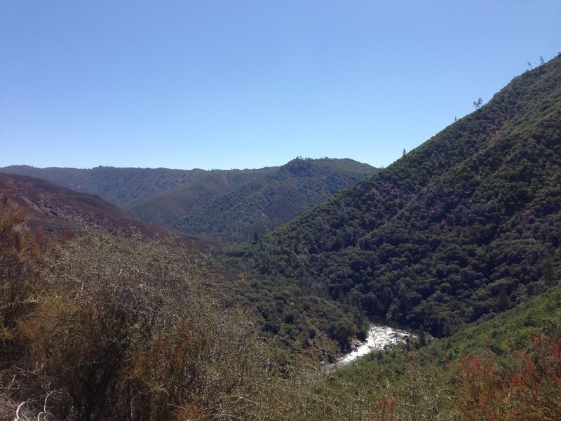
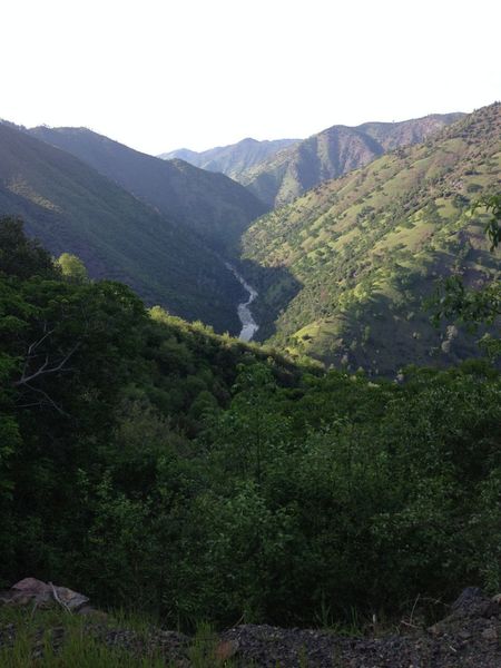
View of Tuolumne Canyon from the Ridge of the Tuolumne Canyon at the way to Buck Meadows from Lumsden road Trailhead
View of Tuolumne Canyon from the Ridge of the Tuolumne Canyon at the way to Buck Meadows from Lumsden road Trailhead
View back at the Tuolumne river and lumsden road on the right side of the river canyon.
View back at the Tuolumne river and lumsden road on the right side of the river canyon.
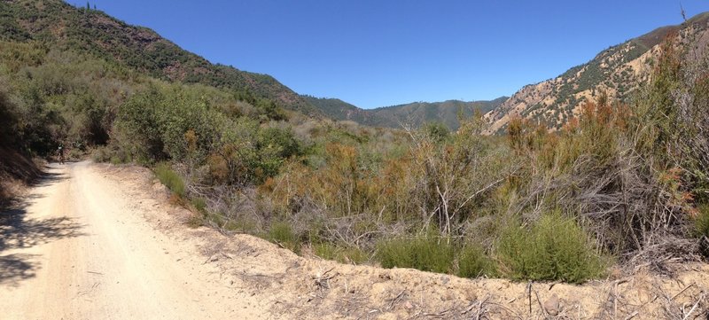
Panorama from lumsden road riding up. Here the grade up the canyon is very mellow but it gets steeper above. You can slightly make out the road going up the canyon in the photo.
Panorama from lumsden road riding up. Here the grade up the canyon is very mellow but it gets steeper above. You can slightly make out the road going up the canyon in the photo.
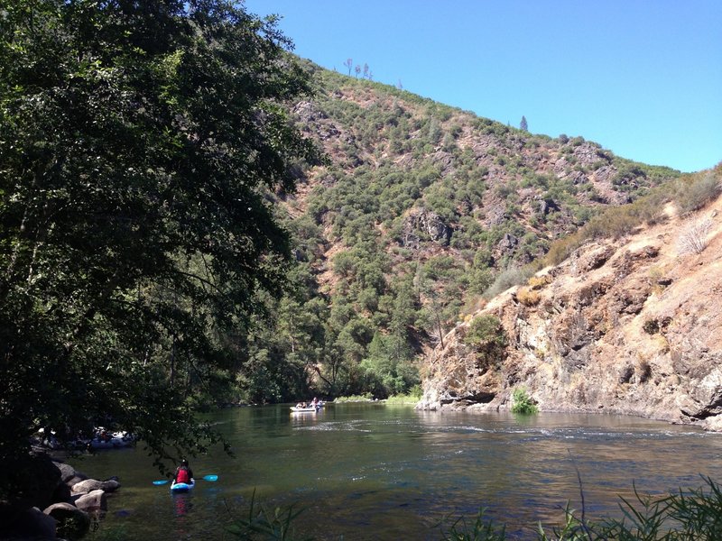
View of rafters taking off at the bottom of Lumsden road.
View of rafters taking off at the bottom of Lumsden road.
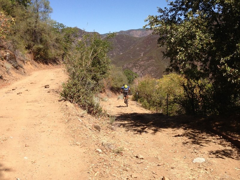
Ben starting up again on the downhill descent from the top of Buck Meadows down to the Tuolumne rive and Lumsden Road.
Ben starting up again on the downhill descent from the top of Buck Meadows down to the Tuolumne rive and Lumsden Road.
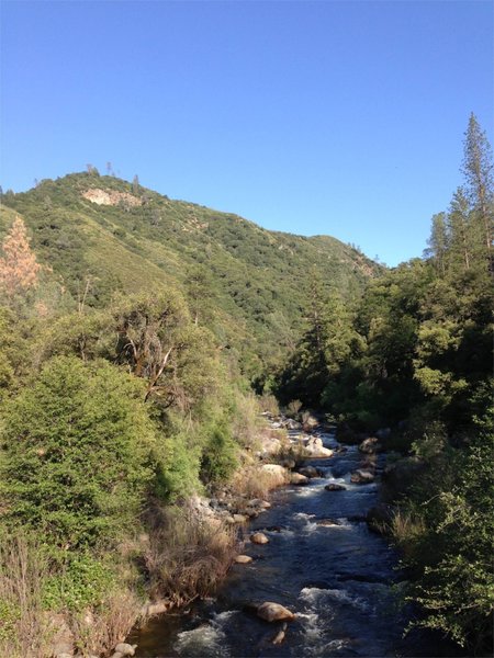
Toulumne River at the bottom of the ride
Toulumne River at the bottom of the ride
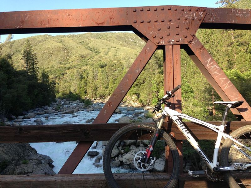
Lumsden Bridge with bike. Amazing rapids.
Lumsden Bridge with bike. Amazing rapids.
View of Tuolumne River from Lumsden Road
View of Tuolumne River from Lumsden Road