7.5 hr
Overview
The parking spot is on the south side of Lucas Valley road, about 2 miles west of the 101.<br><br>The first part of the ride is on blacktop and gets you to the base of the very steep fire road. Here are the instructions:<br><br>1) Follow Lucas Valley Road west for a mile.<br>2) Take right onto Bridgegate Dr.<br>3) Take 2nd left onto Creekside.<br>4) About .4 miles take right up Luiz Fire Road.<br><br>Luiz Fire Road is, by far, the least fun and least pleasant part of this ride. It's only a mile, but a lot of the road is over 20% grade. But as you walk up (I'm not strong enough to ride this trail), enjoy the view as you slowly ascend. Once you get to the top, you are on Big Rock Ridge. <br><br>At the top, take the left onto Big Rock Ridge Fire Road and head west. This fire road has great views both north and south, as well as to the East, and has a lot of up and downs, but slowly ascends until you reach the cell phone towers that are at the top and at an elevation of 1,725 feet. This is a great spot to enjoy the view as you can nearly see 360 degrees. On a clear day, you can see San Francisco, Mt. Diablo, and the edge of Tomales Bay.<br><br>Now comes the best part of this ride - going down Big Rock Trail . Big Rock Trail is one of the few bike legal singletrack trails in Marin and is a very fun descent. Nice flow, nice views, and not too many people. There are a few blind turns, so watch the speed. One fun part of this ride is that you are looking down on Skywalker Ranch, where they made a few Star Wars movies.<br><br>Once at the bottom, cross the street and you now have a pretty mellow fire road ascent up Loma Alta Fire Road. Compared to Luiz Fire Road, this fire road is rather pleasant and if you like cows, you should enjoy this section. A little past halfway up is an alternative portion of Loma Alta Fire Road that follows the contours a bit better and doesn't reach the summit of Loma Alta hill ( 1592 feet). Given that it's only saving you a few hundred feet, and given that the view at the to
Trail Stats
23.9 km
907 m
561 m
45 m
—
Photos
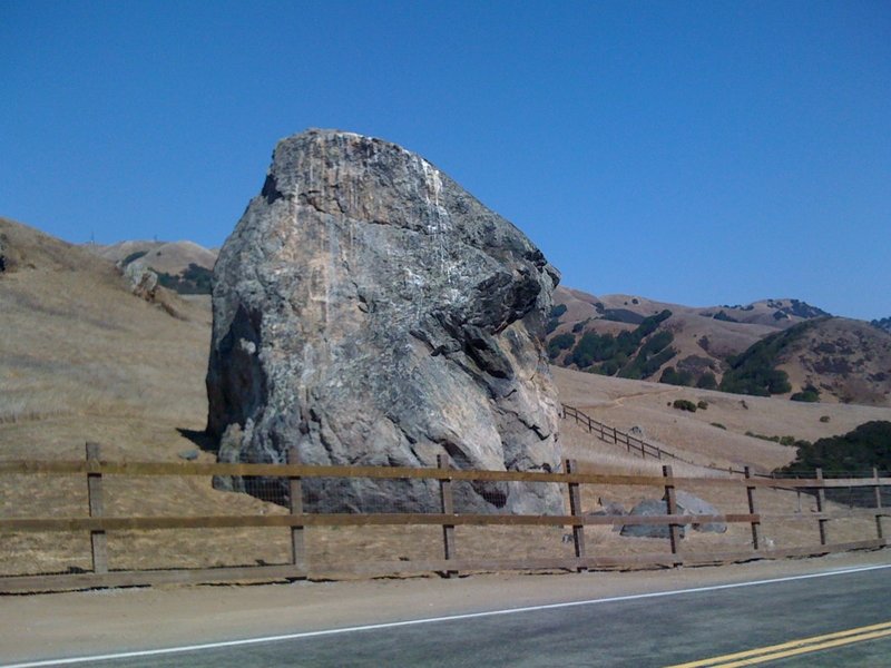
Rock!
Rock!
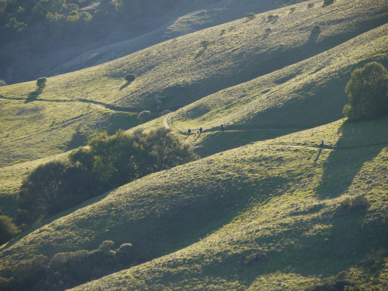
The fun and flowy part near the bottom.
The fun and flowy part near the bottom.
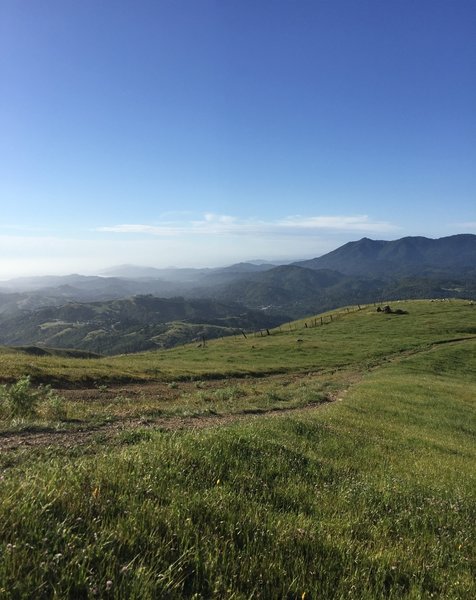
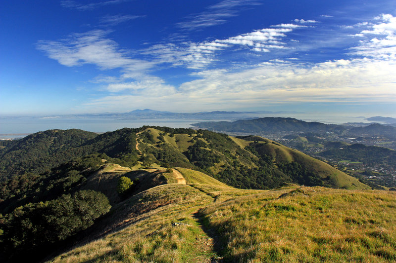
View from top of Loma Alta, looking south towards San Francisco.
View from top of Loma Alta, looking south towards San Francisco.
Tam from the Loma Alta Fire Road.
Tam from the Loma Alta Fire Road.
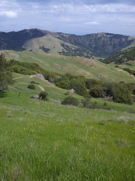
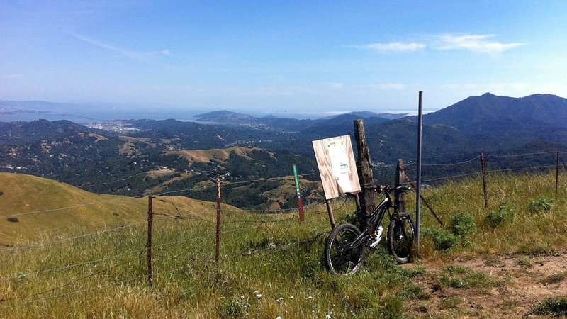
View back down the trail from the top.
View back down the trail from the top.
View from Big Rock Ridge looking East at Mt Diablo in the distance
View from Big Rock Ridge looking East at Mt Diablo in the distance
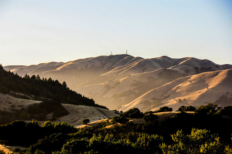
View looking north at Big Rock Ridge and the cell phone towers. The nasty fire road is on the right.
View looking north at Big Rock Ridge and the cell phone towers. The nasty fire road is on the right.