4.1 hr
Overview
This trail is not technical AT ALL. The only difficult aspects of this trial are its distance, elevation gain and a few steep sections that tend to be rutted. The surface is mostly hard-packed doubletrack and fire road. Be forewarned however, some trails lead to nowhere, were made by cows, or lead to private property (gates and signs), so be aware.<br><br>The summer months can get hella-hot, so this trail is ideally ridden in the winter. Be prepared with a downloaded or printed map to stay on course, it's not incredibly intuitive to follow. Here's why: Any trail leading off and down to the American River drops very sharply in elevation and will require a serious repayment to get back up (1000+ feet in a bit over a mile). And, all the trails leading off on the north end that head toward the confluence, are off limits to bikes.
Trail Stats
14.6 km
279 m
494 m
387 m
—
Photos
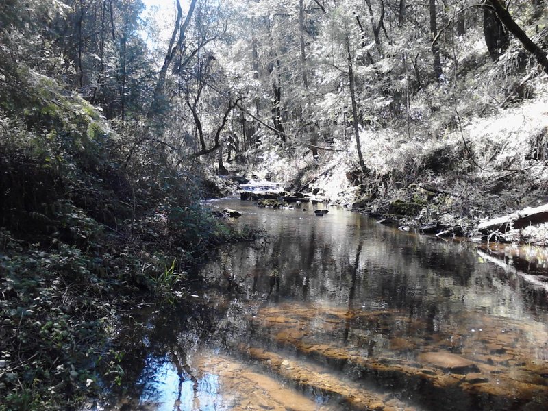
Knickerbocker creek crossing. Peel off your shoes and socks, its time to go for a dip to get across and continue.(maybe not early fall)
Knickerbocker creek crossing. Peel off your shoes and socks, its time to go for a dip to get across and continue.(maybe not early fall)
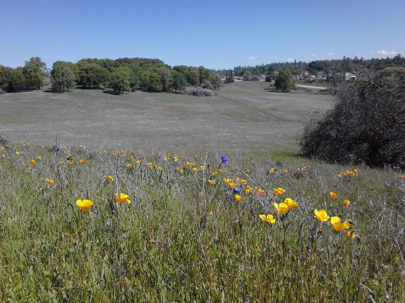
Easy to take in this epic scenery because the trail is mostly wide open
Easy to take in this epic scenery because the trail is mostly wide open
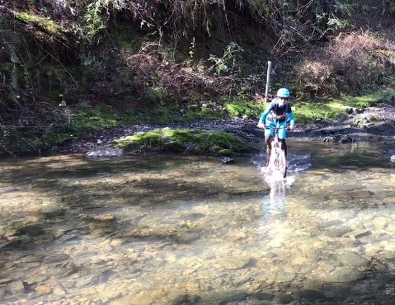
The Olmstead Trail tackles a fierce crossing of Knickerbocker Creek.
The Olmstead Trail tackles a fierce crossing of Knickerbocker Creek.
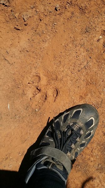
I have a size 13 foot. Paw print was huge and claw marks were clearly visible. Area was soft mud that had hardened preserving the track very well.
I have a size 13 foot. Paw print was huge and claw marks were clearly visible. Area was soft mud that had hardened preserving the track very well.