7.2 hr
Overview
Head up highway 120 and take a right on Hardin flat road. Keep going straight past Yosemite Lakes campground. Once you get into a dirt road, Follow FS 1S12 for a few miles. You can park your car along this road and get off whenever you like. <br><br>Start ascending up forest service roads. There are multiple ways to get to the top, but we found that 1S12 is the easiest ascent and you can take multiple different trails downhill which are steeper and have much sharper turns. 1S12 will take you to the top of the ridge, from here take a right on 2S01 which turns into a dirt road that will bring you to the peak. <br><br>At the peak, there is a look out tower that you can go to the top of if there is a worker there. We met a nice lady who let us sign the guest book and pointed out all the different mountain ranges surrounding us. Here you'll get a 360 view of Yosemite, Highway 108, Highway 120 and Highway 140 areas all the way back to Groveland, CA. <br><br>There is a vast network of forest service roads that you can choose to go down from. We decided to go down 2S25 to 2S64 which brought us back to 1S12 and our car. All the road intersections are nicely marked. Use the MTB Project mobile app!<br><br>Stop at rainbow pools on your way back down the hill for a refreshing swim!
Trail Stats
24.4 km
682 m
1831 m
1273 m
—
Photos
Ben Dudek shredding hard on the descent from pilots peak.
Ben Dudek shredding hard on the descent from pilots peak.
View of trail on the descent from Pilots Peak
View of trail on the descent from Pilots Peak
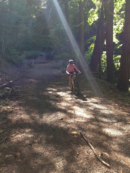
On the way back to the car on FS 2S25
On the way back to the car on FS 2S25
View on the way back down riding on 2s25 ridge. View is back into Groveland and down the 120 corridor.
View on the way back down riding on 2s25 ridge. View is back into Groveland and down the 120 corridor.
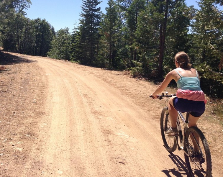
View of 2S01 dirt road that we rode up on our way to the top of pilots peak.
View of 2S01 dirt road that we rode up on our way to the top of pilots peak.
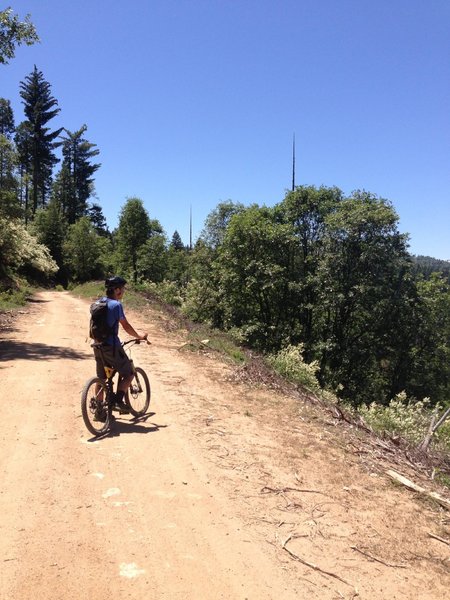
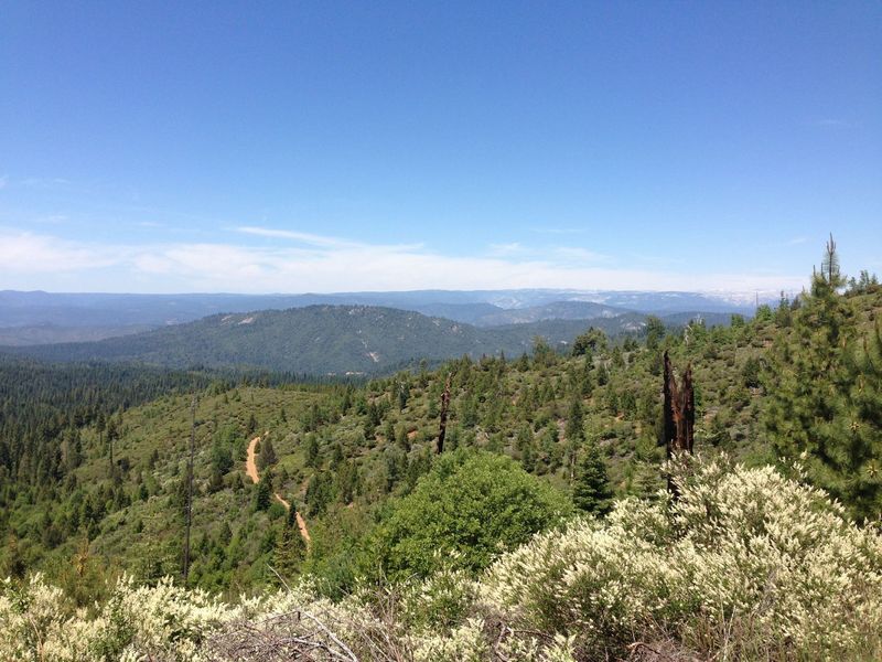
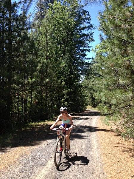
View of the ride on the way up to Pilots Peak on forest service dirt roads.
View of the ride on the way up to Pilots Peak on forest service dirt roads.
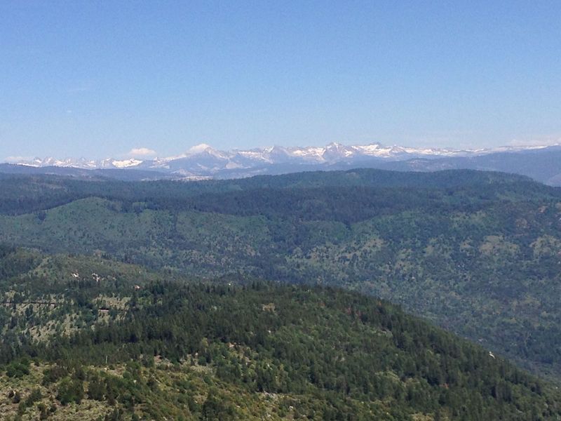
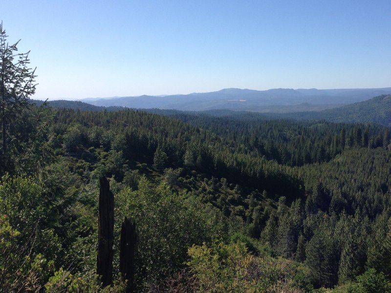
View of Yosemite Mountains from Pilot Peak look out tower
View of Yosemite Mountains from Pilot Peak look out tower
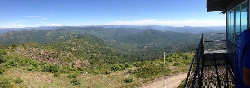
Panoramic view from the Pilot's Peak look out tower
Panoramic view from the Pilot's Peak look out tower
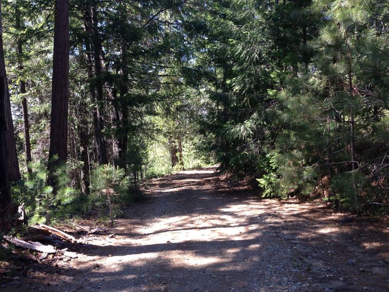
View on the ride up to Pilots Peak. Nice gradual forest service dirt and gravel roads.
View on the ride up to Pilots Peak. Nice gradual forest service dirt and gravel roads.
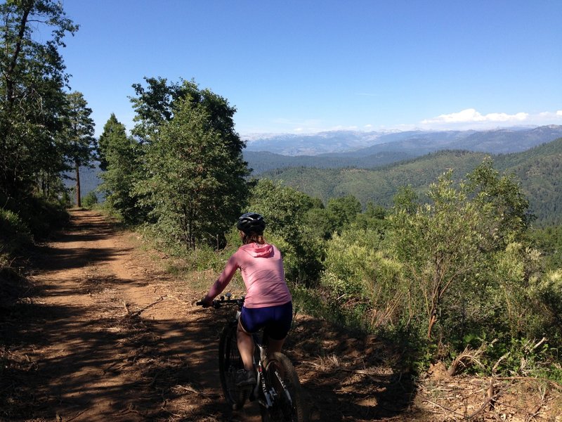
On the way up to Pilot Peak, great views into Yosemite.
On the way up to Pilot Peak, great views into Yosemite.