3.6 hr
Overview
Start at the campsite parking area running slightly downhill toward the lake shore. As you past the last set of campsites on your left you'll see a singletrack leading up into the hills bordering the lake. The trail is rocky and narrow from the start, watch your pedals, plenty of areas to have a rock grab them. <br><br>As you approach the shoreline, the trail follows the shore at about 50' above the shoreline and has a mix of rocky uphills and downhills. Easy to follow. After you pass the first gate you get your first good downhill that runs out to the shoreline again. Continue along this until you reach a large lake inlet that you'll eventually ride completely around. At this inlet the trail turns from rocky to very narrow 6" singletrack that is a little exposed (immediately after second gate). <br><br>The trail along the far side of the inlet is not as commonly traveled and is easy to miss. After passing around the inlet you'll continue on the narrow track until you reach the lake again and do a gradual climb until you reach a dead oak with stones stacked around its base. <br><br>You are at the trail end and you can return along the same path. Because of the rocky nature of the trail both out and in trails ride differently and very fun to ride.
Trail Stats
13.8 km
88 m
226 m
214 m
—
Photos
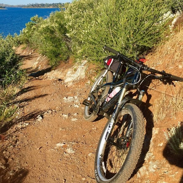
One of the nicer sections along the Coyote Point Trail.
One of the nicer sections along the Coyote Point Trail.
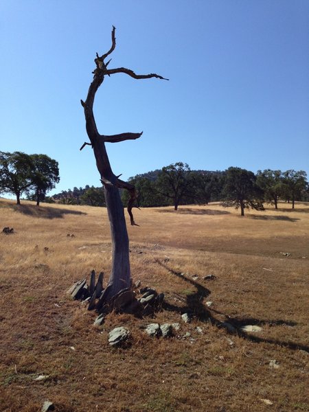
Trail End, Hard to Miss this Tree
Trail End, Hard to Miss this Tree
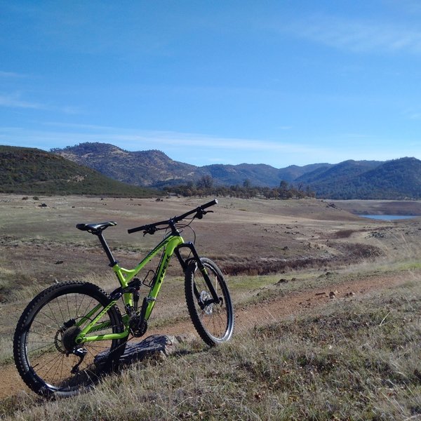
End of the ride. Back to the parking lot
End of the ride. Back to the parking lot