10.8 hr
Overview
Head up through the Kings Beach grid and make a left on Speckled Avenue. Continue on Speckled Avenue to the Hwy 267 intersection and make a right turn. You'll climb on 267 for just over two miles to the TRT trailhead. Don't worry about the start of this ride on pavement, you'll have plenty of epic singletrack.<br><br>At the TRT trailhead and parking lot, make a right turn and continue on the Tahoe Rim Trail: Brockway to Wilderness Boundary. You'll ride an out-and-back on the TRT to the Mt. Rose Wilderness Boundary at about 9000' elevation. This is a great climb with a mix of smooth, fast singletrack, rocky sections, loose shale, and some tricky technical uphills (everything is rideable, but sometimes tough to power through because of the altitude). <br><br>Enjoy the tough climb and the amazing views into Martis Valley on one side and Lake Tahoe on the other. Be sure to scout out some of the rock steps and ramps for the way back. The trail flows beautifully on the way back, making the tough climb totally worthwhile.<br><br>On the way out, you may notice a signpost with a TRT and "No Motos" sign on the right side of the trail with a well-used singletrack. Make a note of this signpost, this will be your turn on the way back. (This trail has the awesome Forest Service name, 18E04A).<br><br>Right at about mile 16 on this ride, you'll be making a left turn onto a new singletrack at the previously mentioned signpost. The turn comes up near the bottom of a fast downhill, so be on the lookout.<br><br>Make a left turn on the well-used singletrack at the signpost. This is 18E04A, a non-motorized connector from the TRT to the Kings Beach trail network. Despite the boring USFS name, it's actually a nice singletrack. You'll cross a fire road and continue nearly straight across onto 18E04 (a moto-legal singletrack). 18E04 is marked with a USFS sign, showing that it is legal for bikes and motos, but does not have a name on it.<br><br>Note that the area above Kings Beach is littered with unmarked trails. It is eas
Trail Stats
36.3 km
1059 m
2802 m
1898 m
—
Photos
The top section of the downhill has some sweet views of Lake Tahoe!
The top section of the downhill has some sweet views of Lake Tahoe!
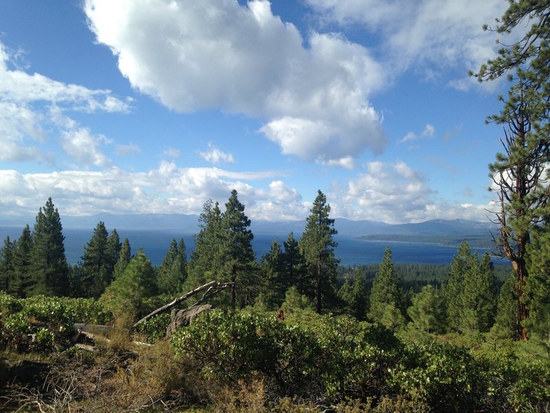
Looking south over Lake Tahoe.
Looking south over Lake Tahoe.
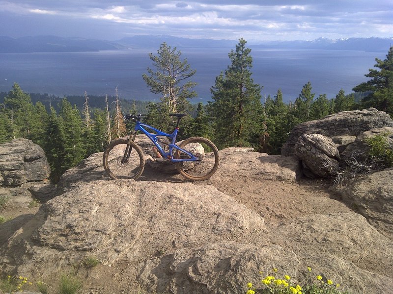
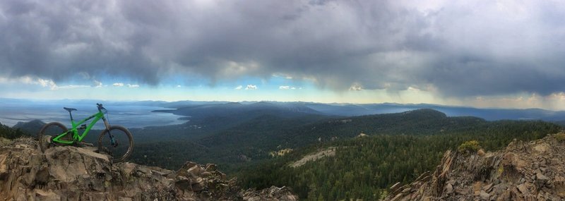
Great views spanning from Lake Tahoe to Donner Lake and all the way to Bocca Resevoir
Great views spanning from Lake Tahoe to Donner Lake and all the way to Bocca Resevoir
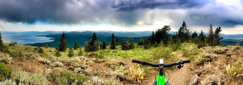
Alex J Baker photo from the Rise and Shine Downhill.
Alex J Baker photo from the Rise and Shine Downhill.
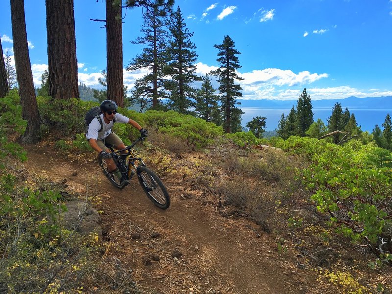
Ride with a view.... Fun trail. Solid climb. Great view and some rocky technical sections near the top.
Ride with a view.... Fun trail. Solid climb. Great view and some rocky technical sections near the top.