14.5 hr
Overview
This ride starts at the San Rafael Transit Center where bus/train lines from San Francisco to Santa Rosa and east to Contra Costa County converge. Best way from the East Bay is Golden Gate Transit's 40 bus from El Cerrito del Norte BART. Best way from San Francisco is Golden Gate Transit's 101 bus. The buses have front racks that hold three bikes on a first come, first serve basis. The 40 bus also accepts up to two bikes on board on a space available basis (driver's discretion).<br><br>(Another option from San Francisco is the Larkspur Ferry. From here either ride up the paths along Corte Madera Creek and streets beyond or the path through the Park Hill tunnel along the SMART rail and the streets beyond to the San Rafael Transit Center. By the end of 2019 it should be possible to ride the SMART train from Larkspur Landing to the San Rafael Transit Center to cut off a few miles.)<br><br>After a mile on Fourth Street getting through downtown San Rafael, the route becomes quite mellow yet still direct on streets parallel to the main motorist route. Just a bit more than five miles in, with a touch of climbing on winding pavement at the end, the dirt starts (actually gravel road here). At just under six miles, turn left to climb into the Valhalla that is Tamarancho. At the top, you can turn left or right as the route from here is a loop. The ride shown is to the left as that is the direction most ride it.<br><br>The Tamarancho loop is well signed, so no directions given here. There is even a sign that says bikes must stay on singletrack where there is the possibility of mistakenly getting on one of the fire roads! For real. The property owner prohibits biking on the fire roads.<br><br>The ride route shown goes about three quarters of the way around the Tamarancho loop where it takes a left to climb to the top of Endor flow trail. It blows past to ride out the back on the White Hill fire road and descend mostly on singletrack. There are a number of other options. You could ride the flow trail then finish the loop and
Trail Stats
48.9 km
1339 m
570 m
3 m
—
Photos
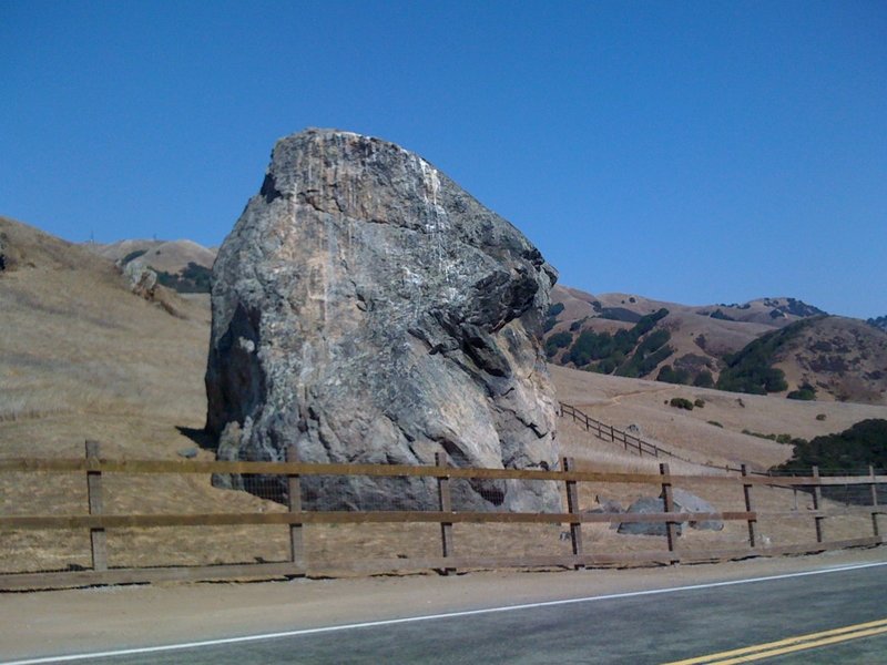
Rock!
Rock!
White's Hill, Wagonwheel Trail section. (facing NW or clock-wise direction)
White's Hill, Wagonwheel Trail section. (facing NW or clock-wise direction)
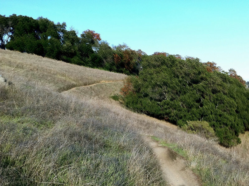
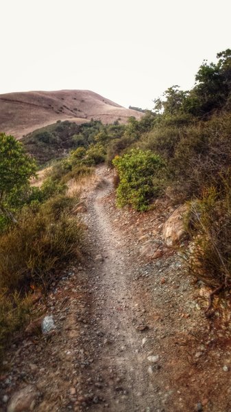
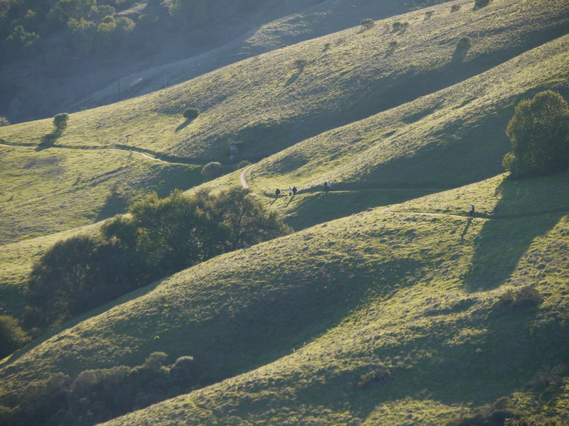
Camp Tamarancho winds through dense forest and across open meadows.
Camp Tamarancho winds through dense forest and across open meadows.
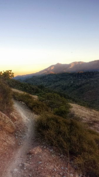
Mt. Tamalpais in the distance, Wagonwheel Trail section (facing SE or counter-clockwise direction)
Mt. Tamalpais in the distance, Wagonwheel Trail section (facing SE or counter-clockwise direction)
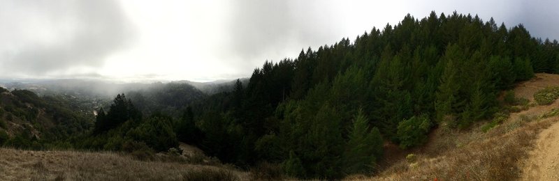
Beautiful, foggy panoramic from the Wagon Wheel Trail.
Beautiful, foggy panoramic from the Wagon Wheel Trail.
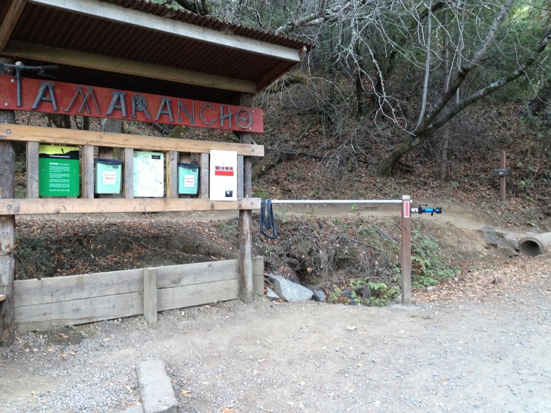
Entrance
Entrance
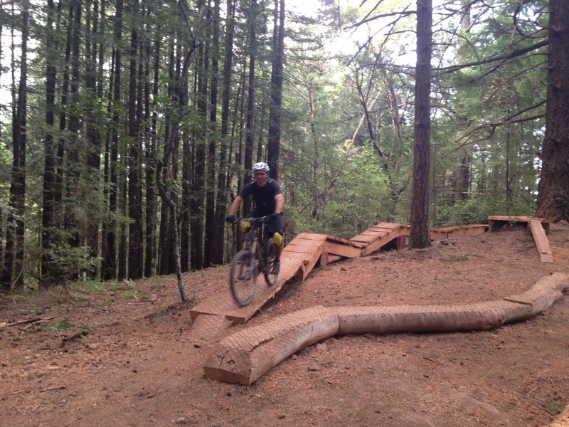
The fun and flowy part near the bottom.
The fun and flowy part near the bottom.
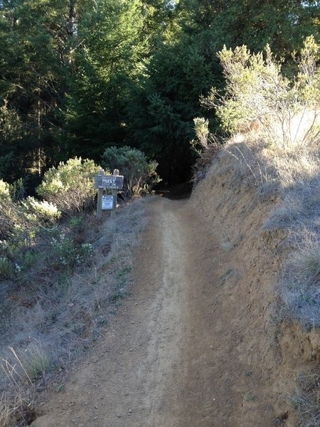
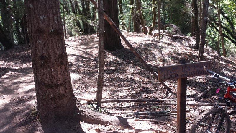
Rides MUST stay on singletrack...
Rides MUST stay on singletrack...
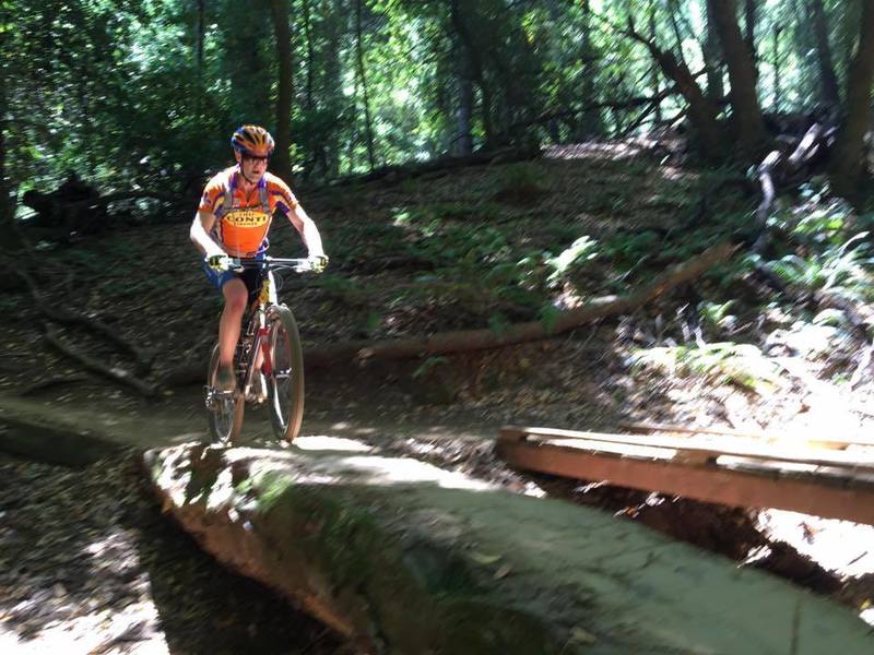
Logs AND bridges to cross creeks.
Logs AND bridges to cross creeks.
Playing in Tamarancho, Marin County.
Playing in Tamarancho, Marin County.
Starting the flow trail. See you at the bottom
Starting the flow trail. See you at the bottom
Dropping into Camp Tamarancho for a good time!
Dropping into Camp Tamarancho for a good time!
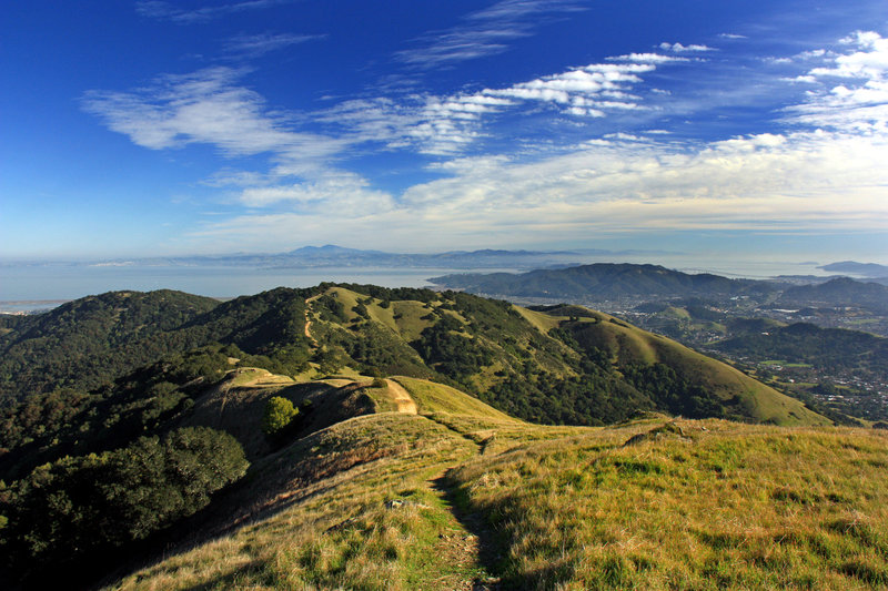
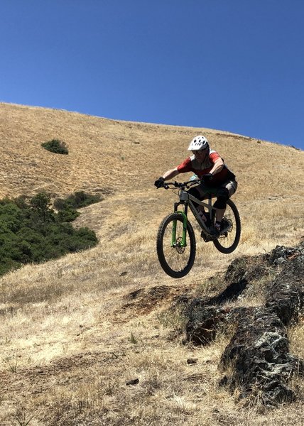
View from Big Rock Ridge looking East at Mt Diablo in the distance
View from Big Rock Ridge looking East at Mt Diablo in the distance
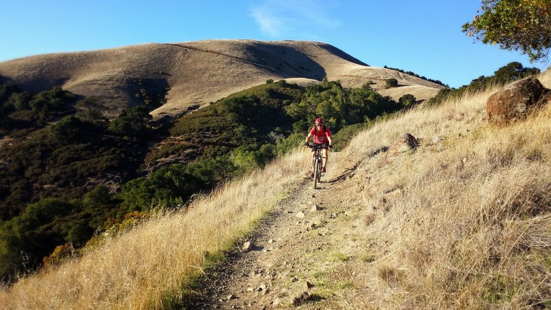
Wagon Wheel Trail Section, counter-clockwise
Wagon Wheel Trail Section, counter-clockwise