6.1 hr
Overview
A true ridge trail with aggressive short climbs and descents throughout, technical rocky sections, open alpine meadows, and above all - unparalleled views of Mt. Hood. From the southern access point off of FR-44, the trail heads east into the forest down to, and over, Dog River. Rugged doubletrack then takes you up and around the Dog River Aqueduct. When the doubletrack narrows to true singletrack turn left on Trail #688.<br><br>Now on to the main course, the balance of the route is rocky, technical, and littered with short climbs and descents. There are a few random dirt road crossings, but the main trail continues north running parallel along FR-17. Several viewpoints along the way have uninterrupted views of Mt. Hood to the southwest. Nearing the end of the trail, bypass Oak Ridge Trail 688a, which would bring you all the way down to Hwy 35 (and would be a brutal climb back up). From here, the trail heads just a mile further to a small parking area. From here you can retrace the singletrack route or complete a loop by returning south on FR-17.
Trail Stats
22.2 km
348 m
1438 m
1035 m
—
Photos
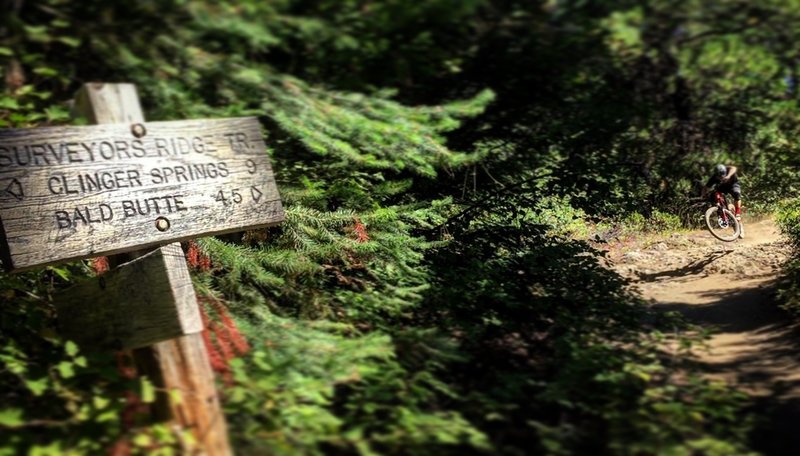
Surveyor's Ridge links to a few other nearby trails.
Surveyor's Ridge links to a few other nearby trails.
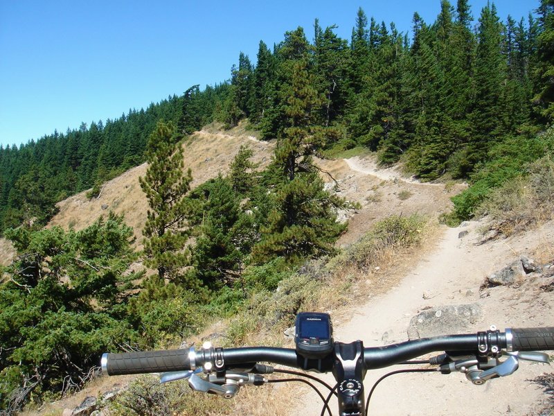
Ridge riding...
Ridge riding...
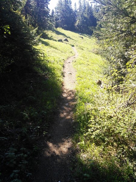
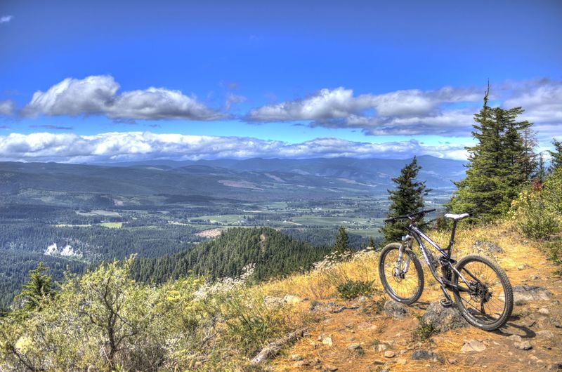
The trail has several spots to take a break and enjoy great views.
The trail has several spots to take a break and enjoy great views.
A short climb through a clearing on Surveyor's Ridge Trail.
A short climb through a clearing on Surveyor's Ridge Trail.
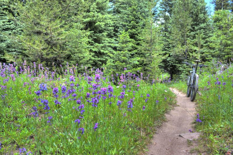
Summer blooms.
Summer blooms.
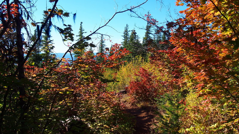
Very beginnings of fall foliage, with the vine maples burning red.
Very beginnings of fall foliage, with the vine maples burning red.
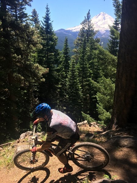
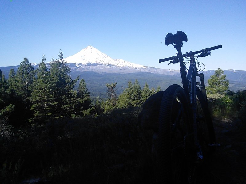
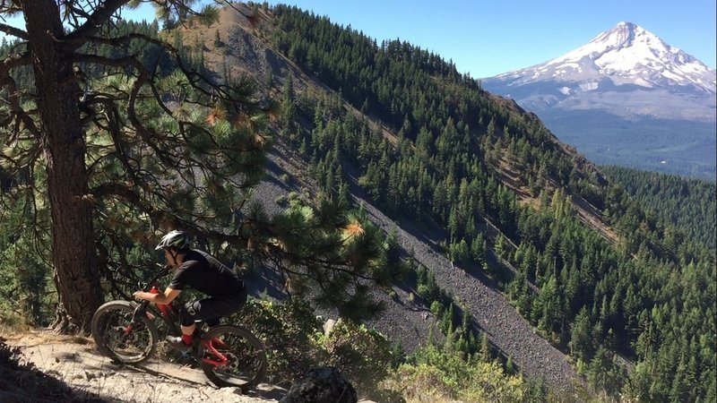
Mt. Hood watching us enjoy the trail in this perfect summer weather.
Mt. Hood watching us enjoy the trail in this perfect summer weather.
Start of the Surveyor's Ridge Trail from the southern trailhead.
Start of the Surveyor's Ridge Trail from the southern trailhead.
Mt Hood from Surveyors Ridge
Mt Hood from Surveyors Ridge
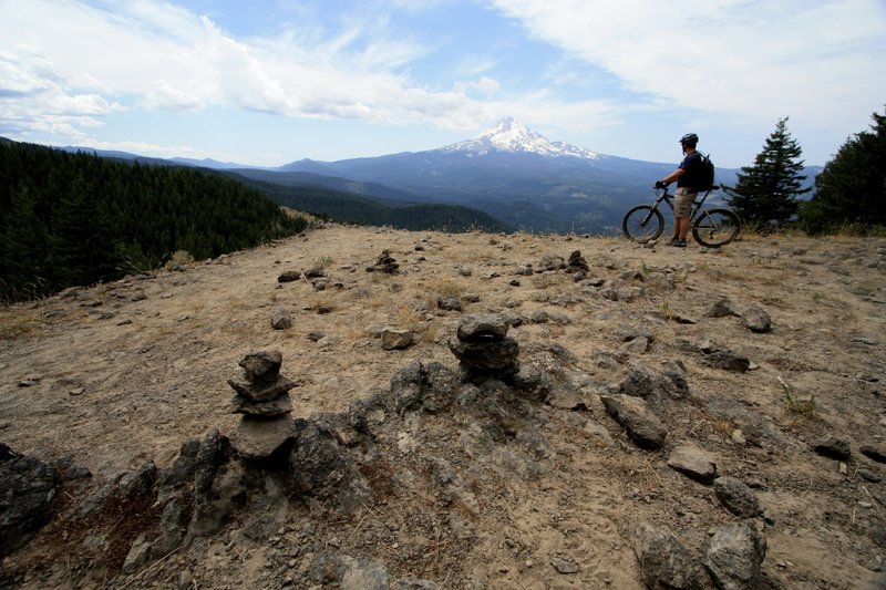
Nice view from the lookout on Surveyor's Ridge Trail.
Nice view from the lookout on Surveyor's Ridge Trail.
Flirting with gravity on the edge of Surveyor's Ridge.
Flirting with gravity on the edge of Surveyor's Ridge.
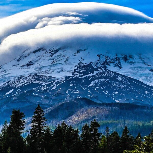
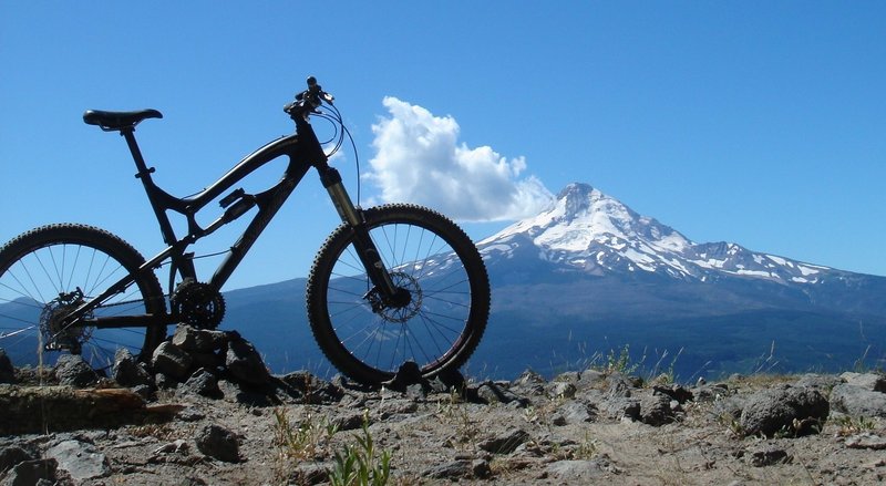
Surveyor's Ridge delivers big on views of Mt. Hood.
Surveyor's Ridge delivers big on views of Mt. Hood.
A pause along the Surveyors Ridge Trail to soak in the view of Mt. Hood.
A pause along the Surveyors Ridge Trail to soak in the view of Mt. Hood.
Sweet view!
Sweet view!
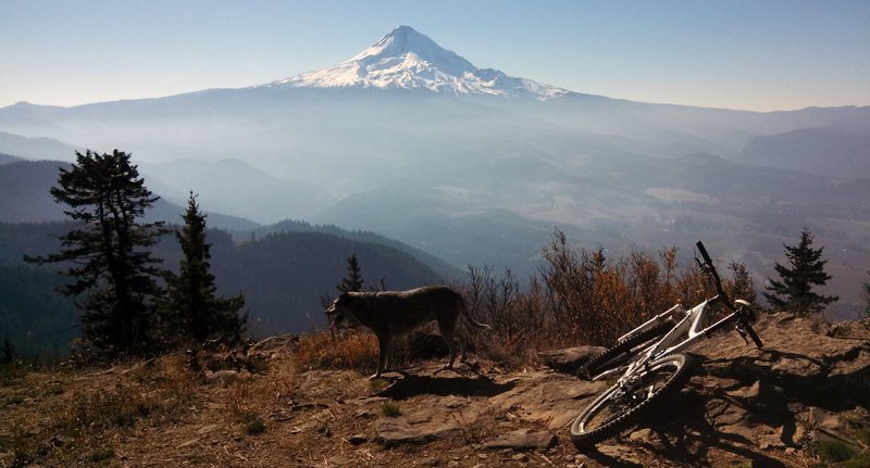
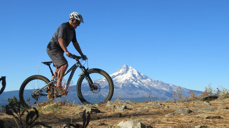
Best partner you could ask for..
Best partner you could ask for..