2.4 hr
Overview
The start of this trail is found a few hundred feet north of Looking Glass Road (FSR #63) on a closed gravel road (shuttles are possible along this road). <br><br>The entrance of the trail is on the left, but it may be a little overgrown. From there, the trail is hard to miss. The singletrack starts off with a few steep climbs and gradually levels out into a gradual climb through dense forest on the edge of a slump (the sink the trail is named for). <br><br>The trail appears to come to an end in a clearing with no real markings, but the USFS maps show it continuing west on a doubletrack to reach Looking Glass Road (FSR #63) again. In the reverse, this is a fun rip to the bottom.
Trail Stats
7.3 km
374 m
1446 m
1086 m
—
Photos
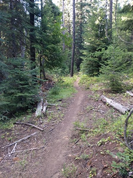
It gets nice during the middle portion.
It gets nice during the middle portion.
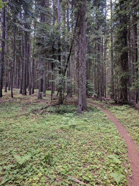
This is a typical view of the trail.
This is a typical view of the trail.
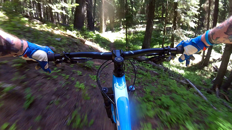
"Full speed on the descent! Super fun!"
"Full speed on the descent! Super fun!"