10.0 hr
Overview
The Crown Zellerbach Trail (CZT) is an old rail-to-trail, starting in Scappoose and climbing across the Nehalem Divide to Vernonia. In the eastern section, the path is a patchwork of smooth and broken pavement. As the trail winds deeper west, the pavement become more broken and sparse before it disappears entirely, and the rest of the trail is gravel.<br><br>The CZT isn't much for fancy trailheads; it begins and ends unceremoniously. But there are trailheads along the way that can provide adequate parking. The trail starts in Scappoose with only a small pull-over parking space and a short foot trail to the start of the paved route. Nearly four miles into the CZT is the first large, easy-to-find parking area, on the Scappoose-Vernonia Highway.<br><br>For several miles, the trail closely follows the highway as it heads west. Eventually, the trail breaks away from the highway and goes deeper into the forest. This heralds the start of a long, steady climb to the Nehalem Divide. At the top of the Divide, the trail begins an equally long and steady descent. This is a nice reward for all of that climbing; it's a nice, long, steady downhill.<br><br>The trail on the western side of the Divide is quite pleasant. With no more asphalt around, it becomes a classic gravel doubletrack road. There are fewer reminders of the civilized world on this leg of the trail, and the flat grade makes for easy pedaling.<br><br>Eventually the trail nears a large meadow. At the far end of the meadow is a vital junction with a road to the left. A chain-linked fence around a gas meter and an abandoned trail kiosk mark this junction. The CZT continues to the left. While this is pretty obvious because of the signs, what is NOT obvious is that proceeding straight forward on what you've been riding thus far is actually trespassing on logging land. So turn left and cross the creek.<br><br>The CZT soon crosses the highway yet again and is guarded by a gate. Don't worry, the gate is for cars, not people. Immediately after the gate the road begins a
Trail Stats
36.2 km
556 m
386 m
4 m
—
Photos
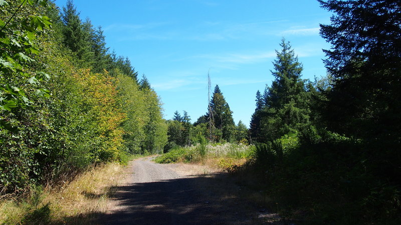
Starting to veer away from the highway and get into the slightly wilder parts of the trail.
Starting to veer away from the highway and get into the slightly wilder parts of the trail.
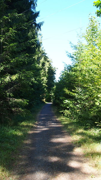
Nice little shaded piece of trail.
Nice little shaded piece of trail.
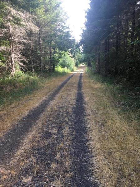
Just the nice, open (gravel) road.
Just the nice, open (gravel) road.
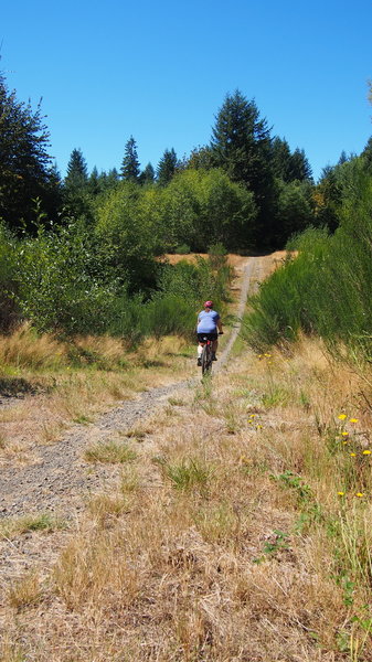
First little whoop-dee-doo, several miles in. About to start the tougher climb to the end.
First little whoop-dee-doo, several miles in. About to start the tougher climb to the end.
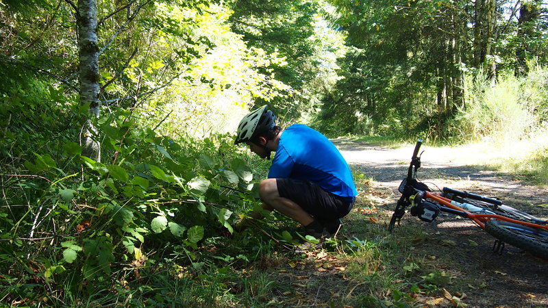
In late summer, much of the trail is lined in blackberries! Mmmm! Be sure to get a big, fat juicy one in the sun.
In late summer, much of the trail is lined in blackberries! Mmmm! Be sure to get a big, fat juicy one in the sun.
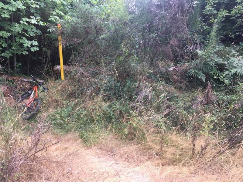
Trail can be a little hard to find on this stretch. This looks like it was a huge, old road block that has been overgrown.
Trail can be a little hard to find on this stretch. This looks like it was a huge, old road block that has been overgrown.
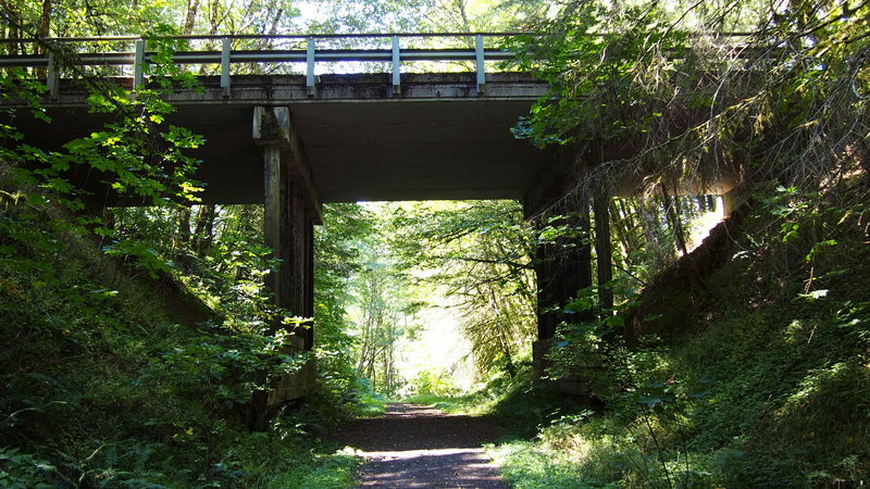
The bridge carrying Scappoose-Vernonia Highway. Continue underneath on the Columbia Forest Road to reach Vernonia.
The bridge carrying Scappoose-Vernonia Highway. Continue underneath on the Columbia Forest Road to reach Vernonia.
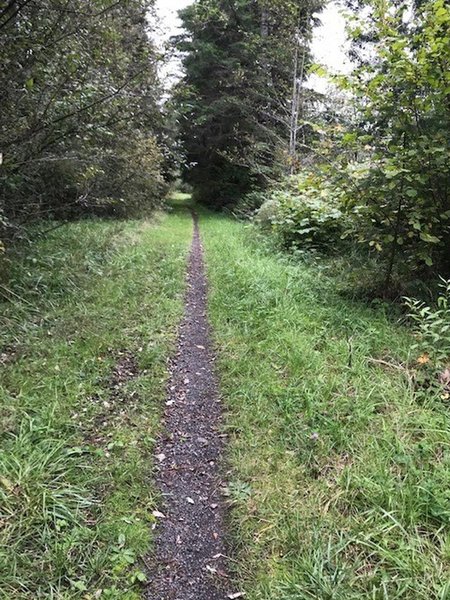
Some of the singletrack
Some of the singletrack