1.2 hr
Overview
Crosstown Trail does just as its name implies and travels from one side of the community of Government Camp to the other, through a forested setting. It is a fairly wide singletrack 24-48", but since it is intended to be a groomed nordic trail in winter, the tree clearing is nearly 20 feet, so it feels more open. That said, the brush can be thick and block sight distance of oncoming trail users, so slow down on turns! <br><br>Many loops off the Crosstown trail can be made to extend your ride. Some of these are connector trails (Skiway, Wally's, Maggie's, Lucy's, etc.) to conveniently bring you directly to Mt. Hood Brew Pub for micro-brews, The Huckleberry Inn for a huckleberry milkshake, or any other local dining establishment. Crosstown Trail has plenty of huckleberries, but get there early before the locals pick them all.<br><br>The Crosstown Trail is native surface with some gravel in a few wet areas. The east end is much rockier trail bed, while the west end has a much smoother native surface through forest. Check out the video for more details. There are larger rocks on the side of the trail, so watch out for pedal catches. There are five large bridges that are way over designed for bikes, but built for a nordic ski trail groomer in winter. The trail is mostly downhill from east to west, but there are moderate climbs and drops along the way. The trail can get dusty during extended dry spells.<br><br>Most of the Government Camp Trail System is designed for experienced beginners and beyond, and I often see children and seniors riding the trails. The trail system stretches from Timberline Lodge above to Trillium Lake below. Combining Crosstown Trail with Summit Trail #691, you can make a large 4 mile loop around the town on both sides of Hwy 26 (cross at the blinking yellow lights with caution!), or ride down to Trillium Lake for a refreshing swim. Most of the trail intersections are numbered, and trailhead maps, trail brochures, and online trail maps will help map reading challenged folks to find
Trail Stats
4.5 km
39 m
1246 m
1105 m
—
Photos
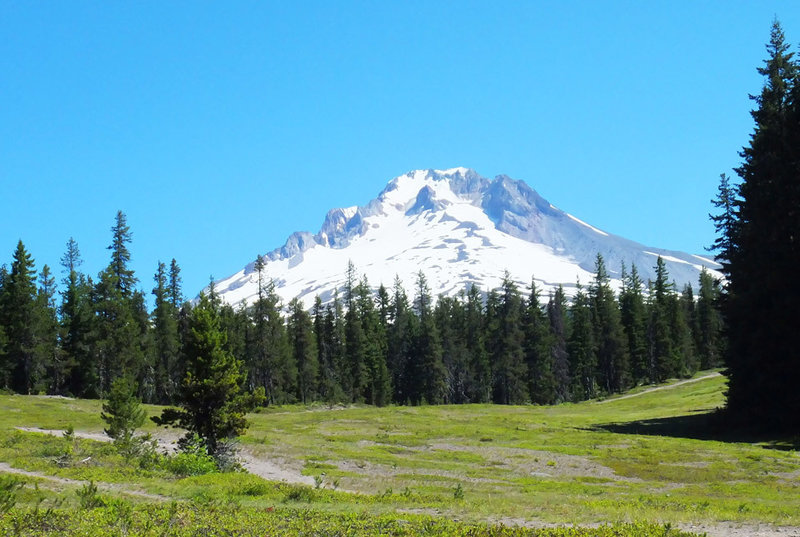
Crosstown Trail near the trailhead at Summit Ski area
Crosstown Trail near the trailhead at Summit Ski area
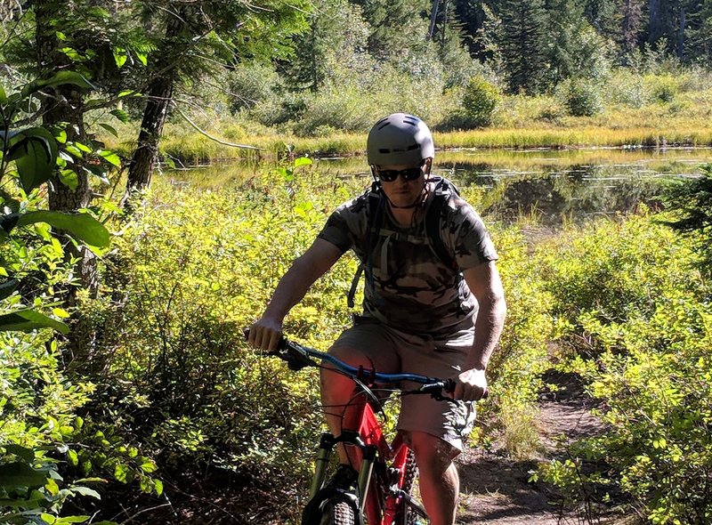
Near Enid Lake
Near Enid Lake
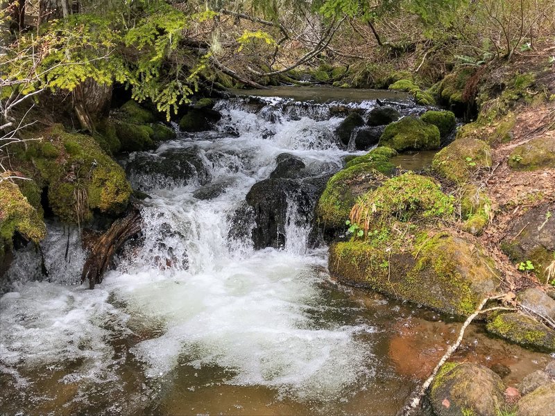
Camp Creek
Camp Creek
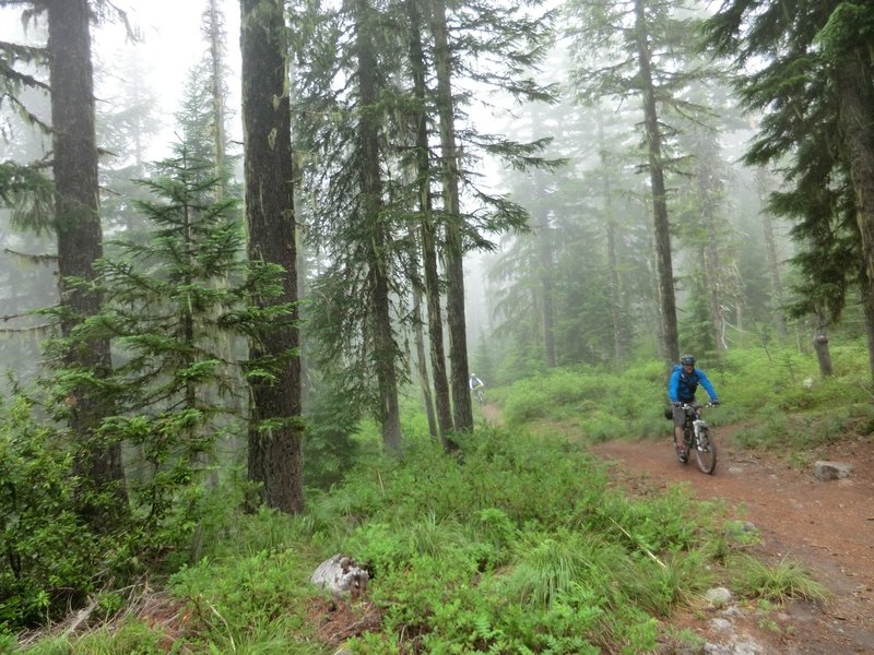
Riding Crosstown in the mist
Riding Crosstown in the mist