2.0 hr
Overview
It wasn't until 2000 that this beautiful section of restored Historic Columbia River Highway State Trail opened to the public. <br><br>From the west, start at the Mark Hatfield West Trailhead near the visitor center for a short section of climbing through the trees. Soon you'll reach a long gradual descent and more regular views of the river below.<br><br>Another gradual climb ends near a nice lookout with expansive view of the gorge. There's roughly half a mile more pedaling before the entrance to the west tunnel is reached just after a large structure designed to catch rocks. The combined length of the tunnels is quite short and visibility remains good throughout. There are also a few side passages leading to windows know as adits.<br><br>Directly after the exit from the west tunnel is a stone-walled lookout on the edge of the gorge that provides nice views of the river and Eighteen Mile Island below. In April and May the grassy area around the lookout brightens with several types of wildflowers including balsamroot. If you're looking for a shorter out-and-back option, this is a popular spot to turn around. <br><br>The end of the trail is soon reached along a final descent to Rock Creek Road. To reach the Mark Hatfield East Trailhead follow the connector trail along the shoulder of the road for a short climb. <br><br>This content was contributed by the Friends of the Columbia Gorge. To find more trails they recommend and to learn about their efforts to support the Columbia Gorge <a rel="nofollow" target="_blank" href="https://gorgefriends.org">click here</a>.
Trail Stats
7.5 km
71 m
158 m
66 m
—
Photos
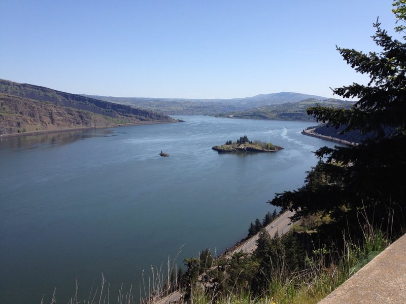
A view of Eighteen Mile Island from the Twin Tunnels Trail.
A view of Eighteen Mile Island from the Twin Tunnels Trail.
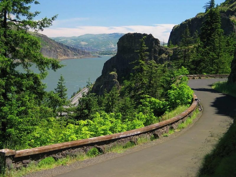
Plenty of views over the Columbia River from the Twin Tunnels segment of the Historic Columbia River Highway.
Plenty of views over the Columbia River from the Twin Tunnels segment of the Historic Columbia River Highway.